
Backpacking Yellow Aster Butte with Views of Mount Baker and Shuksan

Come along on this 3-day backpacking trip and enjoy the spectacular views of Mount Baker, Mount Shuksan, Tomyhoi Peak, and many more mountains and ranges from the US all the way to Canada, along with endless meadows, tarns, and scrambling opportunities.
While this trip could be easily made in one day, we decided to take our time, relax, and explore around.
Approx. 8 miles round trip with 2,500 ft of elevation gain to Yellow Aster Butte’s summit. Side trip: adds approx. 4 miles & 800 ft of elevation gain towards Tomyhoi Peak. Green Trail Map: Mt. Shuksan, WA - No 14. Trailhead: 48.9435, -121.6625.
Our Route and Camp
Day 1: Trailhead to the Yellow Aster Butte camps
Day2: Scramble Yellow Aster Butte and hike towards Tomyhoi Peak
Day 3: Yellow Aster Butte camp to the trailhead
Read on for the full account of our trip, accompanied by lots of photos.
Day 1: Trailhead to Yellow Aster Butte camps
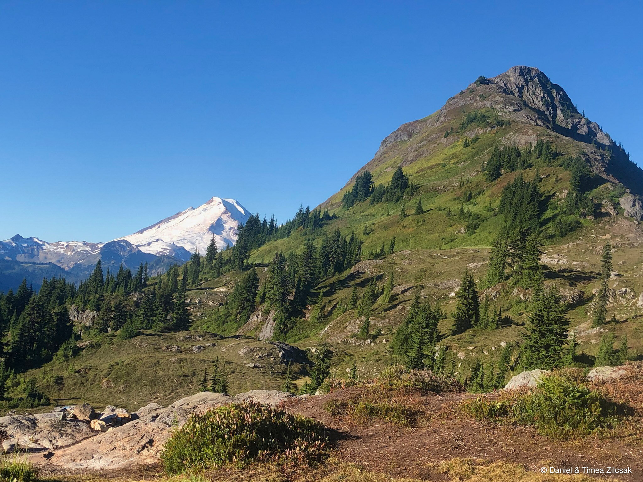
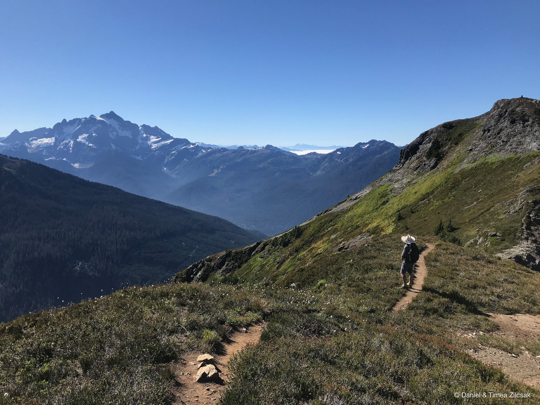
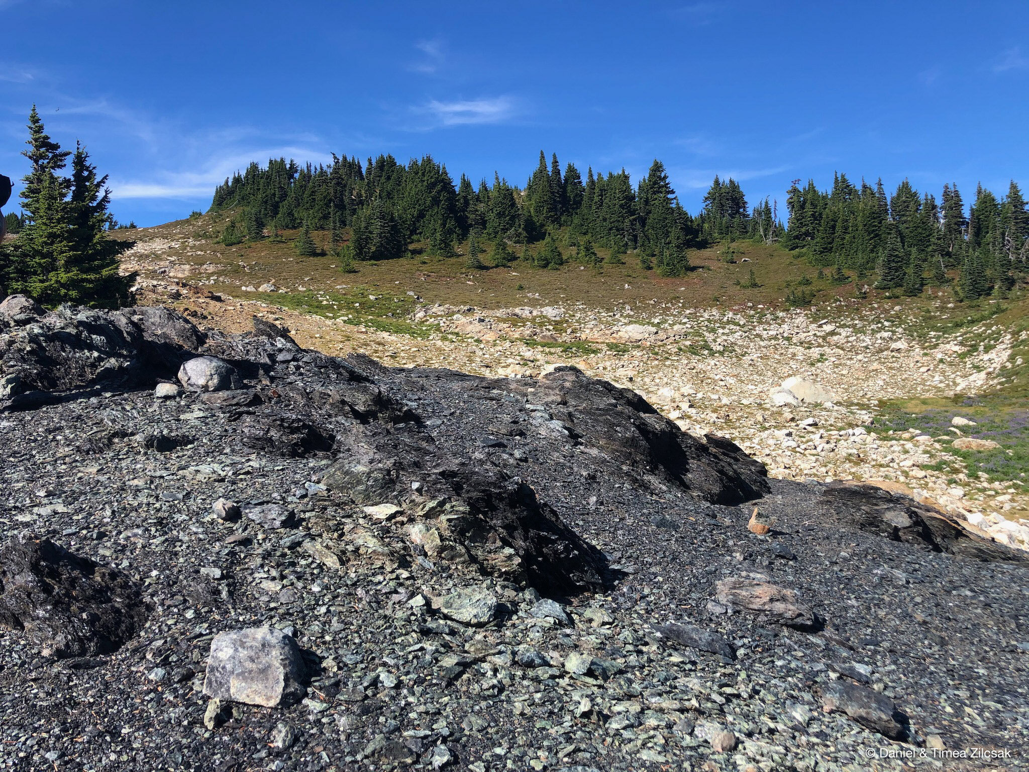
Due to the popularity of this place for backpacking and overnight camping, we started our day very early. We left home in the middle of the night as the drive to the trailhead was estimated to be 3 hours. We started our hike before 8 am. The trail is steep from the start and it stays that way for about 1-1/2 mile when it emerges the thick forest and levels out. After the junction of Yellow Aster Butte and Tomyhoi Lake, the trail traverses around the south flank of the mountain providing majestic views of Mount Baker and valley below.
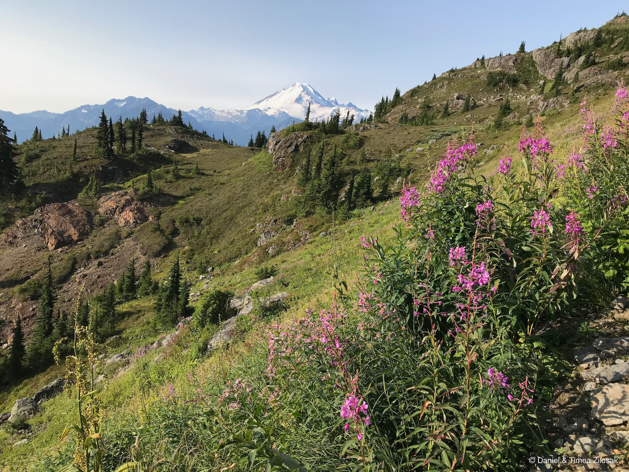
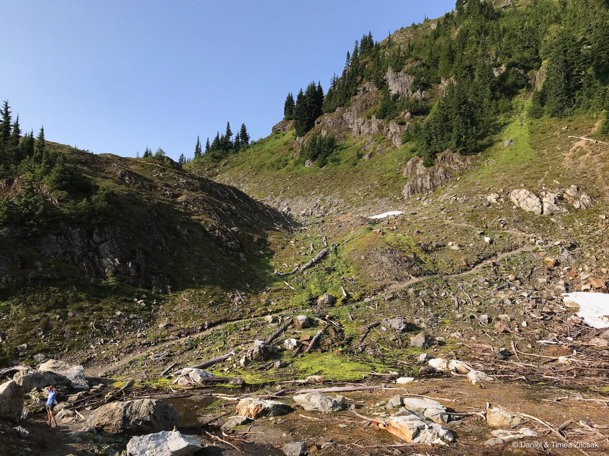
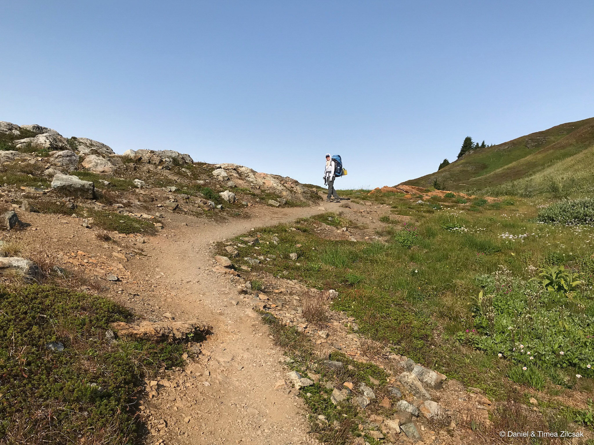
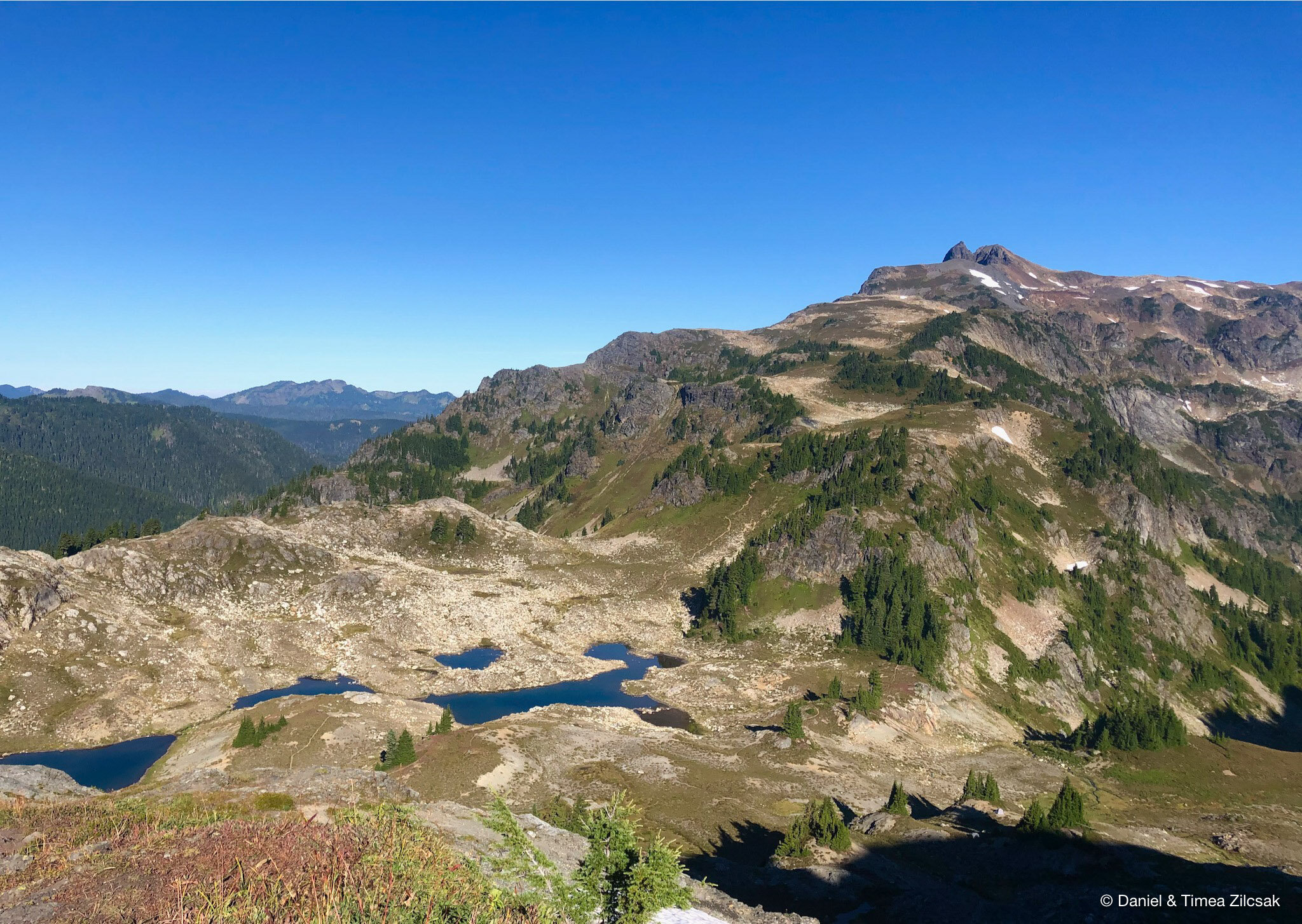
With the beautiful views and relatively easy trail to follow, we soon arrived at our destination. The camping area is pretty vast and finding a camping spot was not that hard. From the junction with the Yellow Aster Butte’s Summit trail, we descended down towards the tarns. The trail to the camping area is easily visible from the main trail, a fun and short one, but steep, with tight switchbacks.

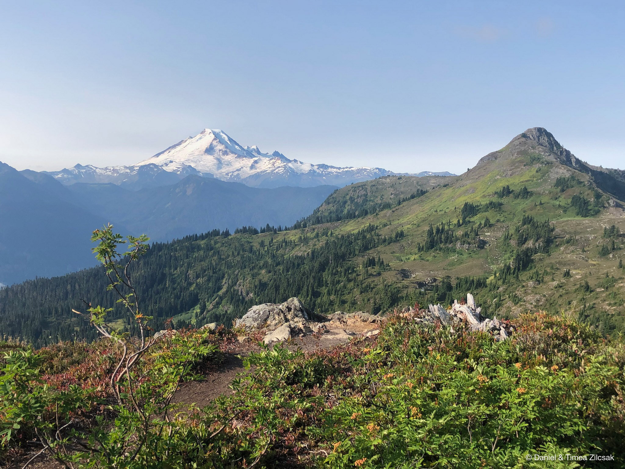
Camping area with Mount Baker in the background

Steep trail going down towards the tarns and campsites of Yellow Aster Butte, with view of Mount Baker

View of American Border Peak from the Yellow Aster Butte camping area
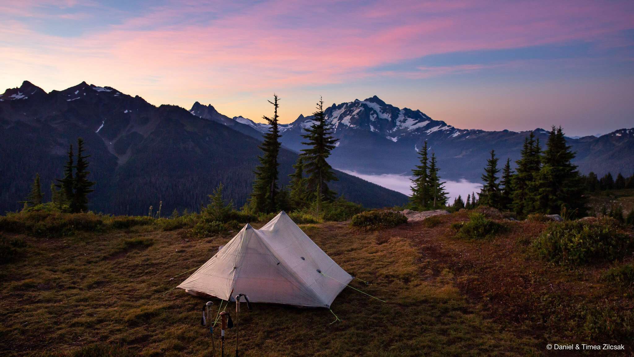
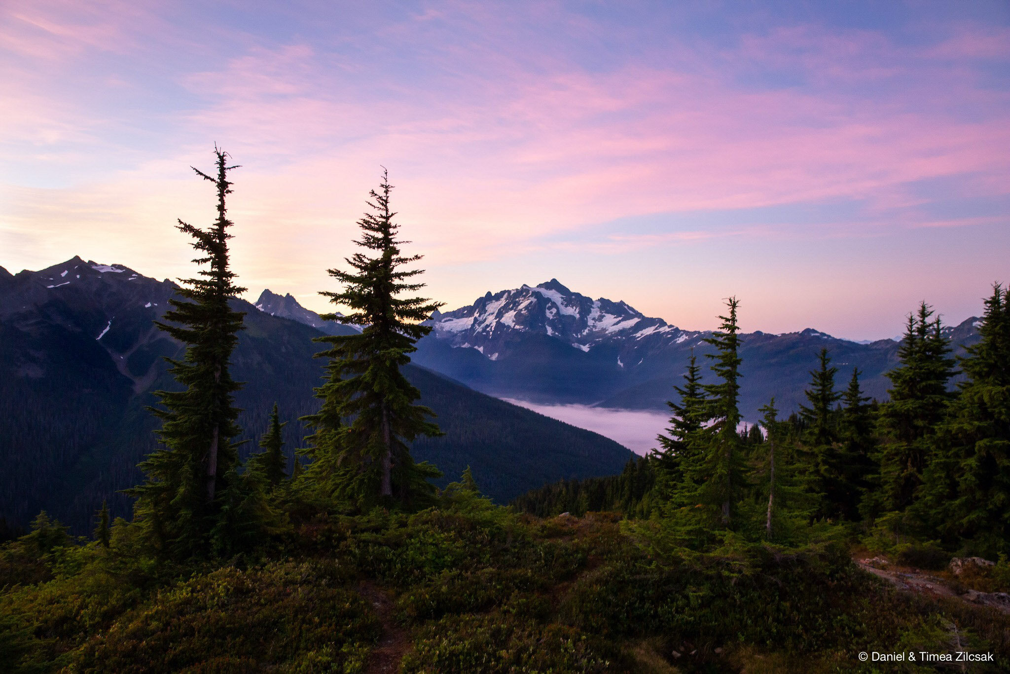
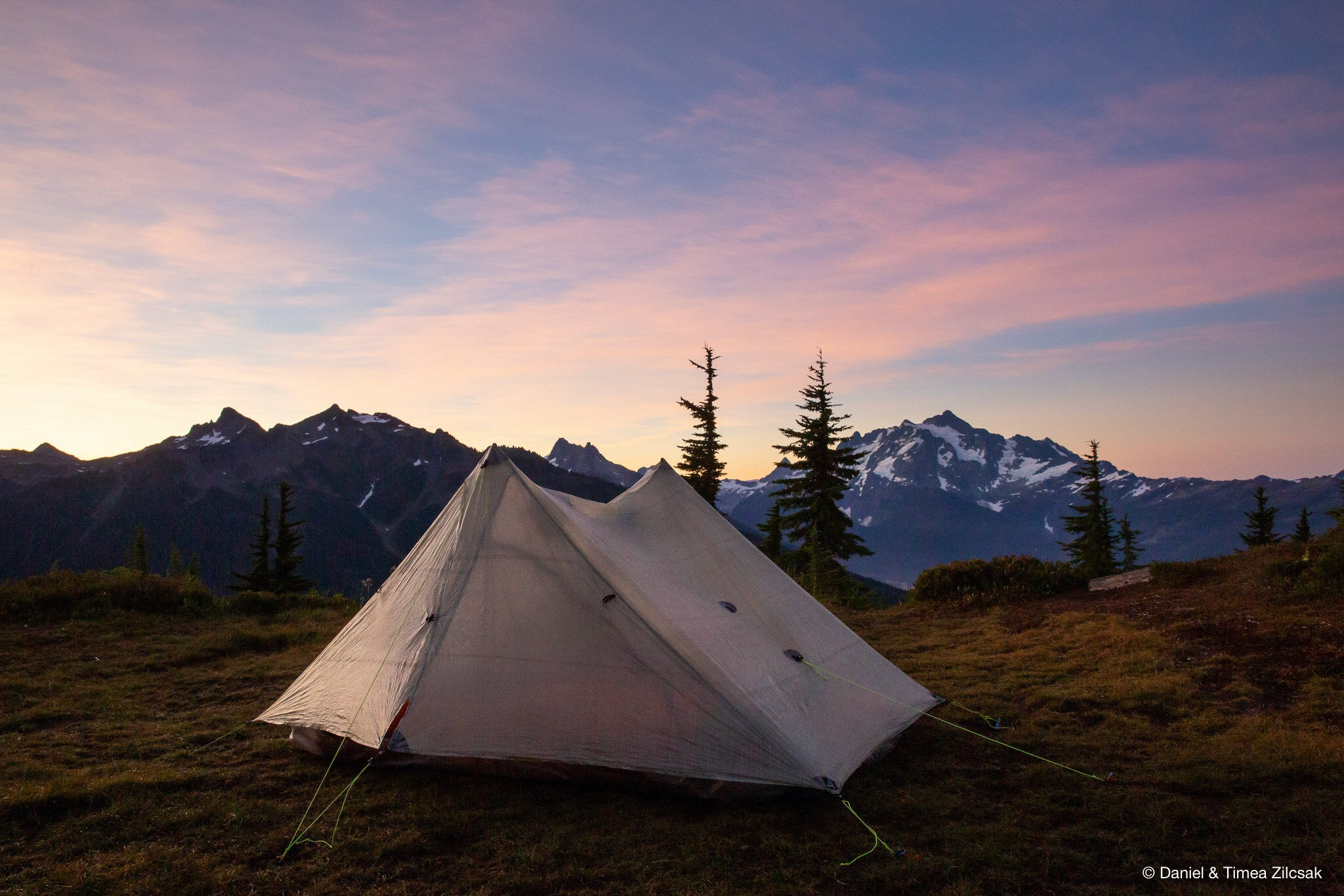
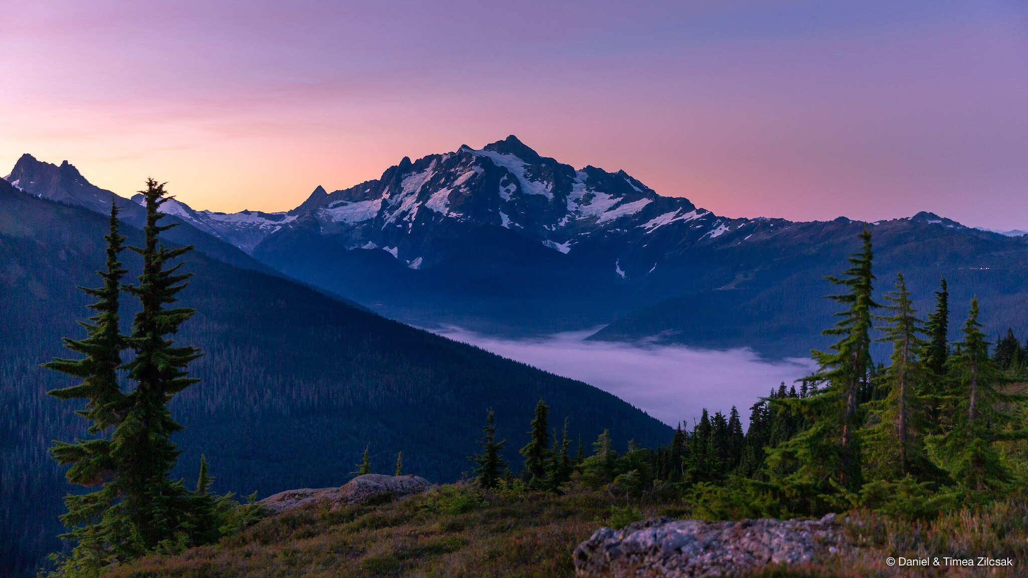
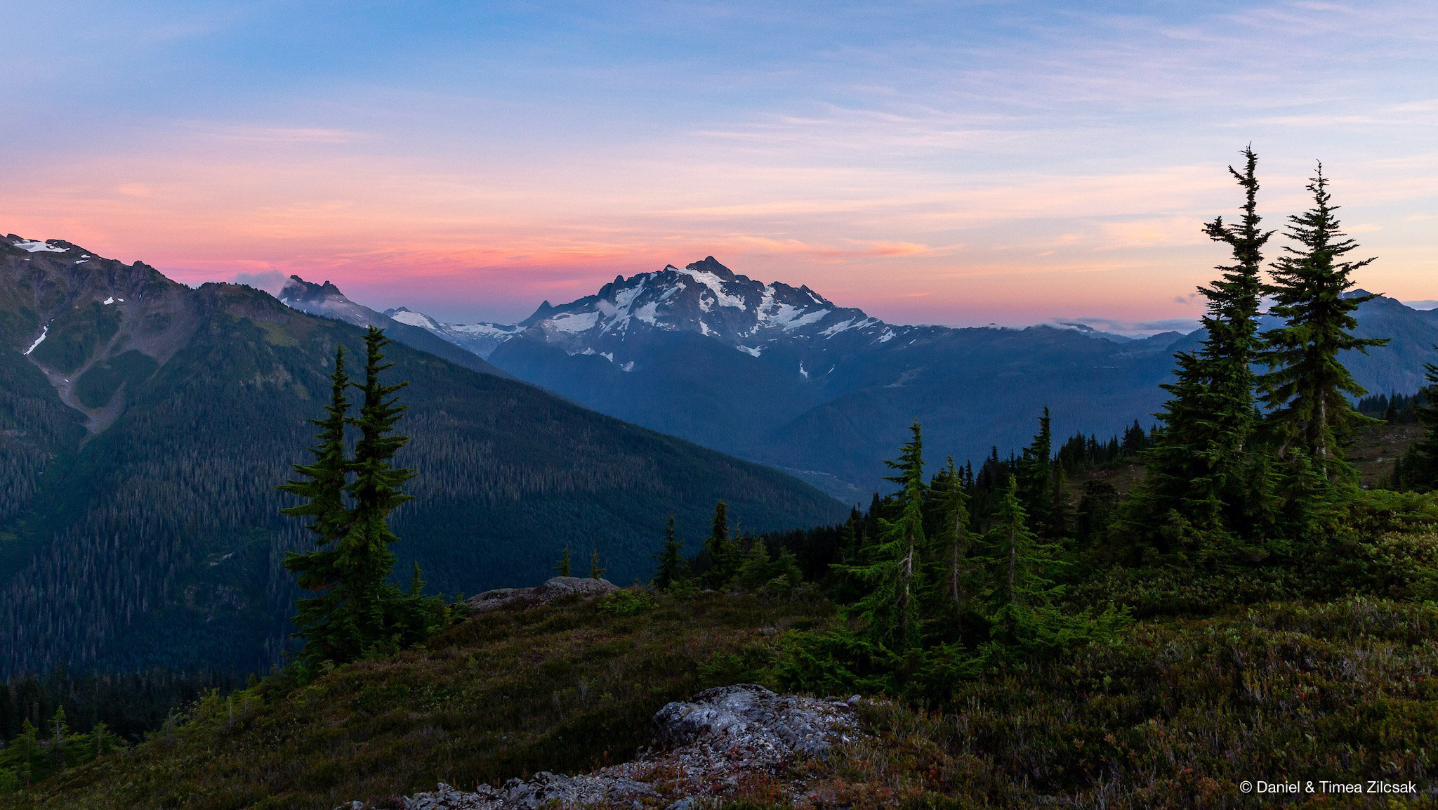
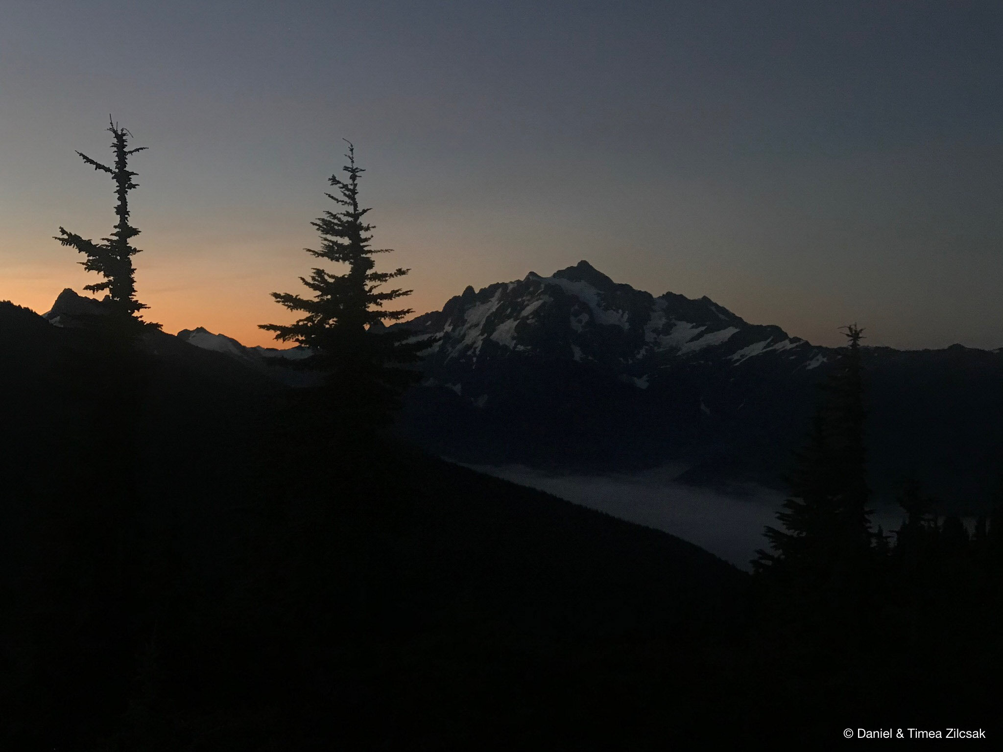
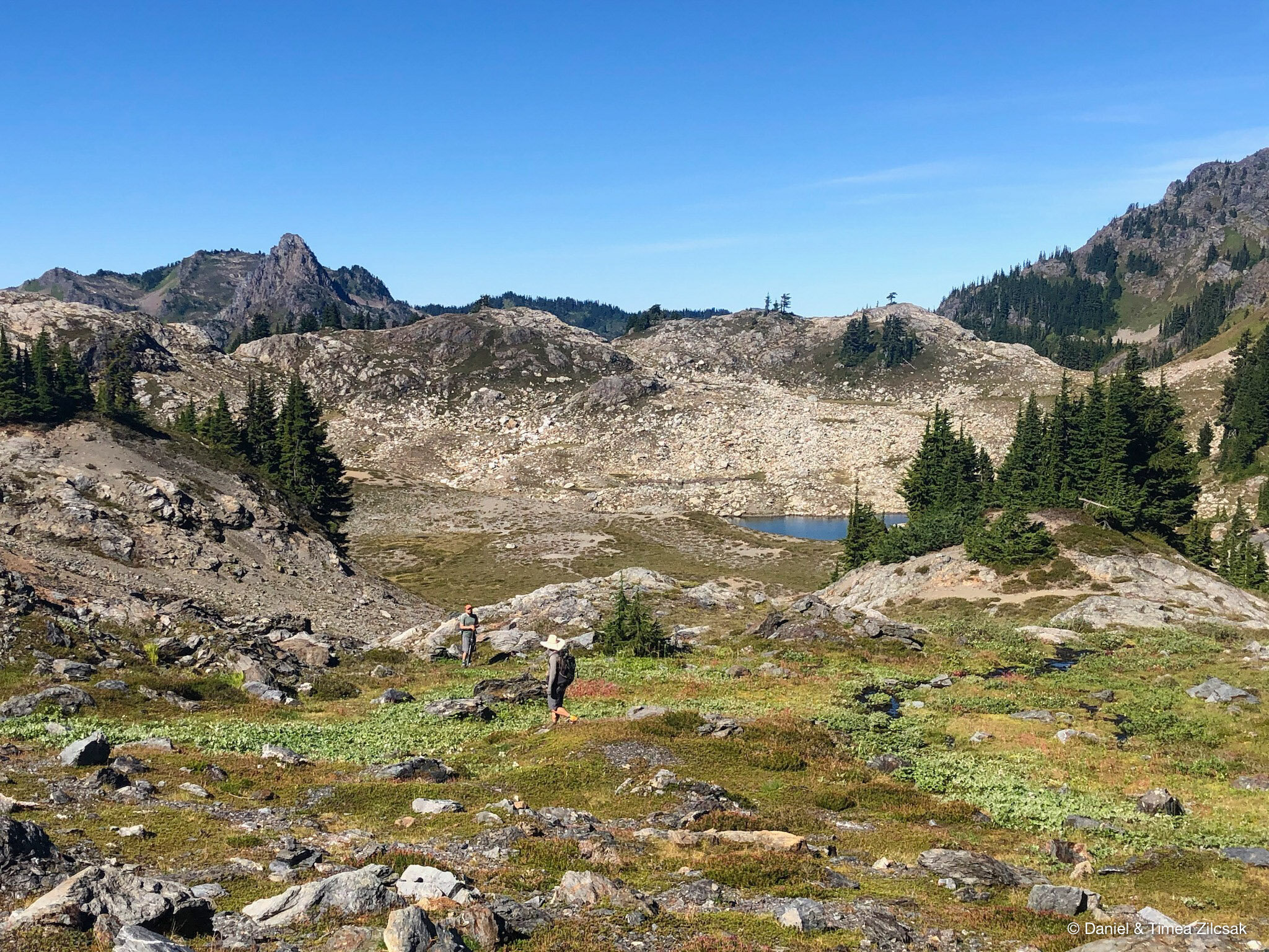
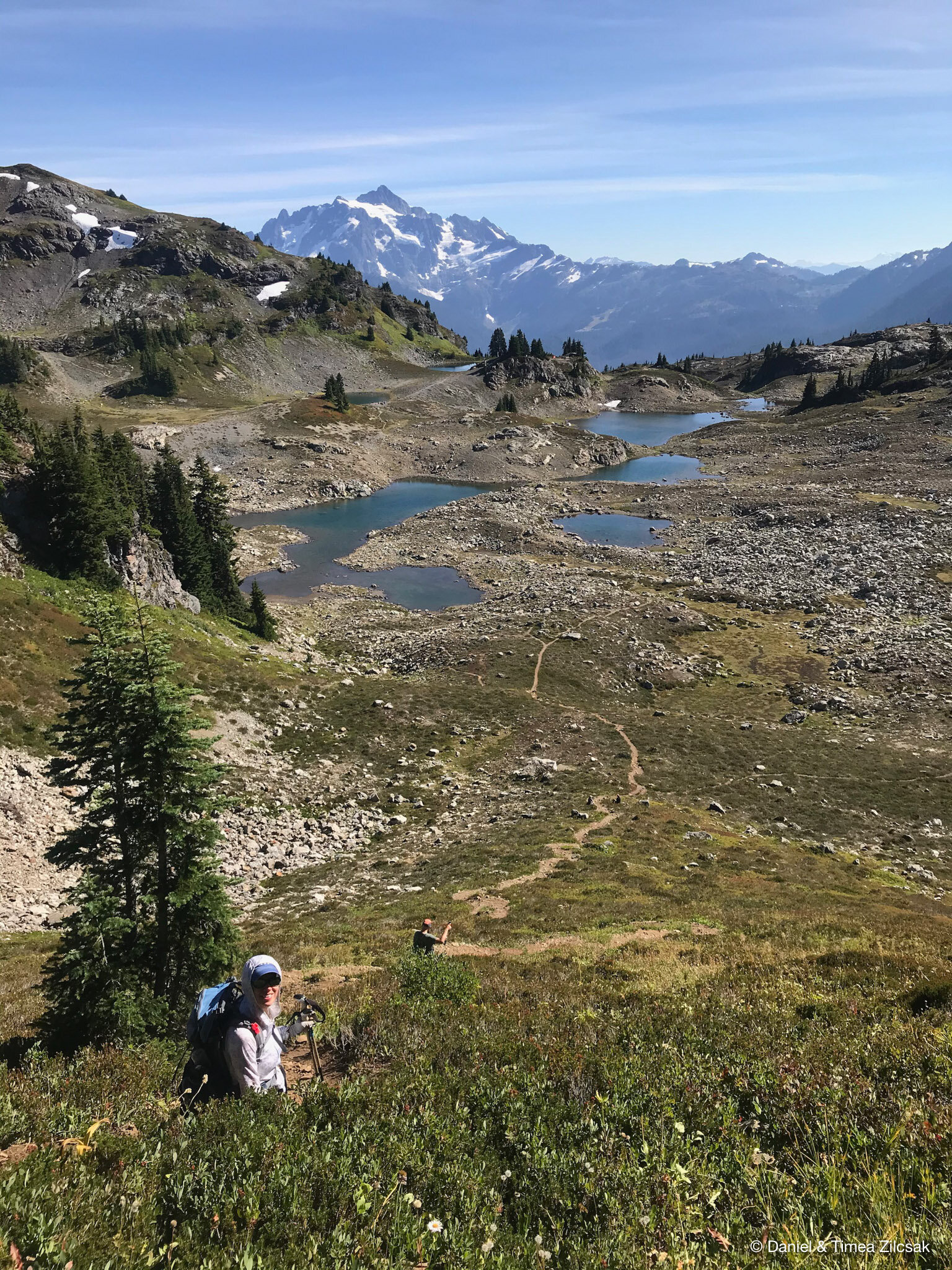
After walking around the many tarns and rock outcroppings for a little bit, we finally found our base for the 2 nights we planned to be out there. We could not ask for a better camping spot. The views of Mount Shuksan and Mount Baker were incredible from this one little cove.
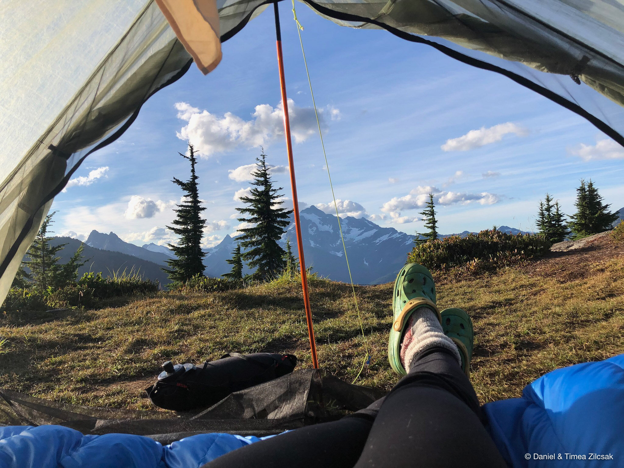
From this very spot, the sunrise and sunset views we experienced were just incredible!

Day 2: Scramble Yellow Aster Butte and hike towards Tomyhoi Peak
Our plan for the second day was open-ended. We definitely wanted to explore around, but, at the same time, we wanted to relax and take in the scenery. The warm morning sun rays were in our tent pretty early, giving us the whole day to explore.
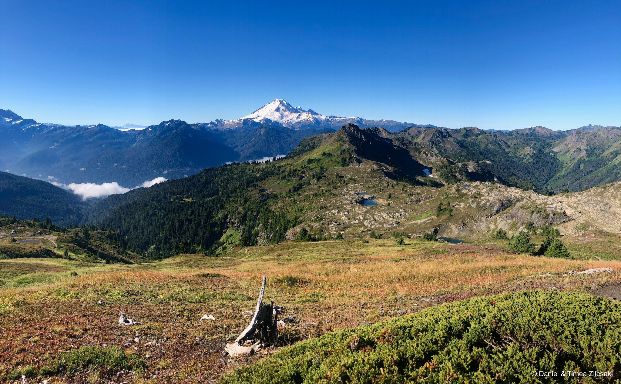
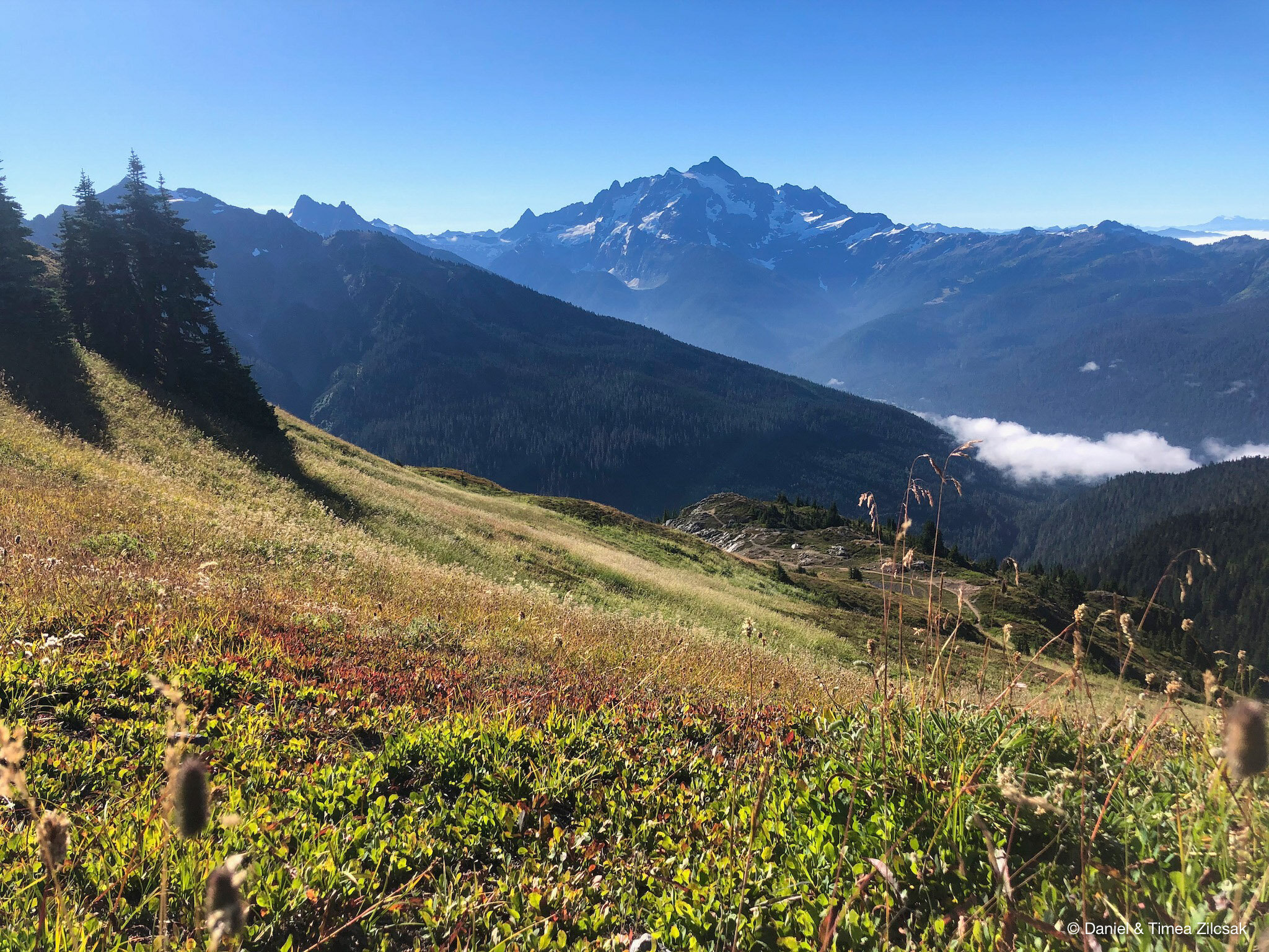
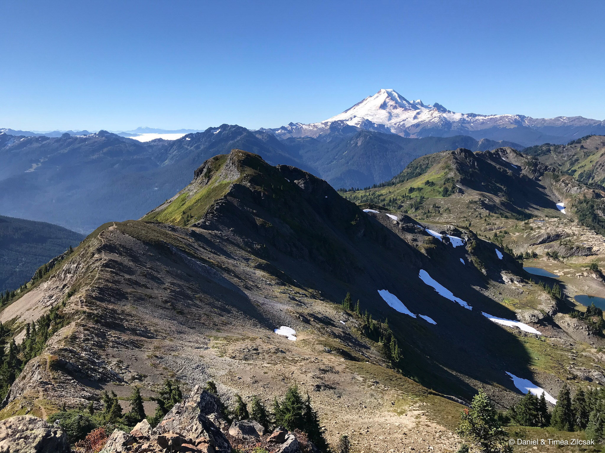
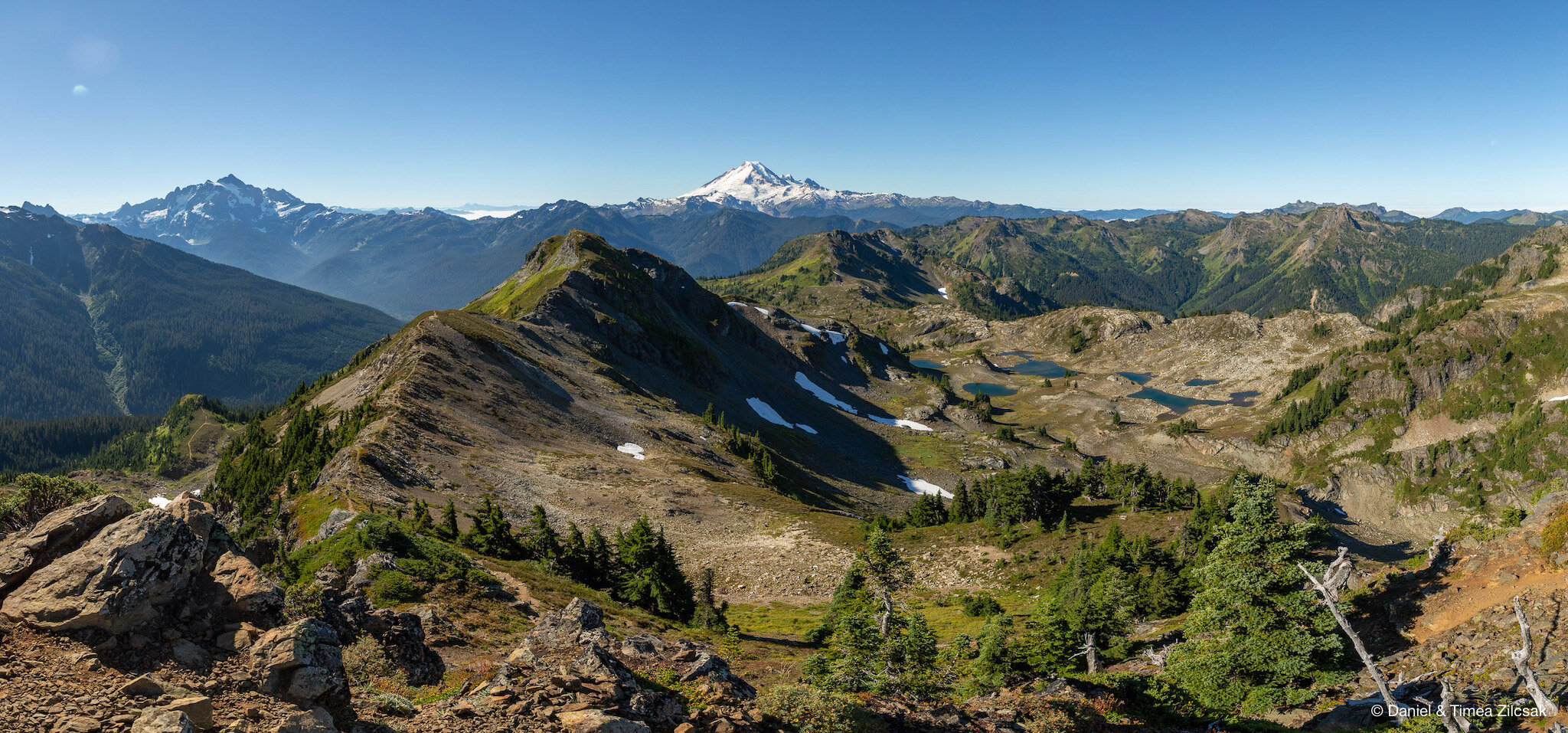
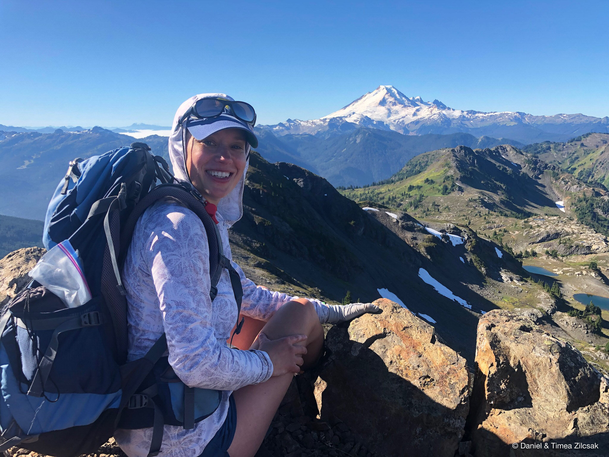
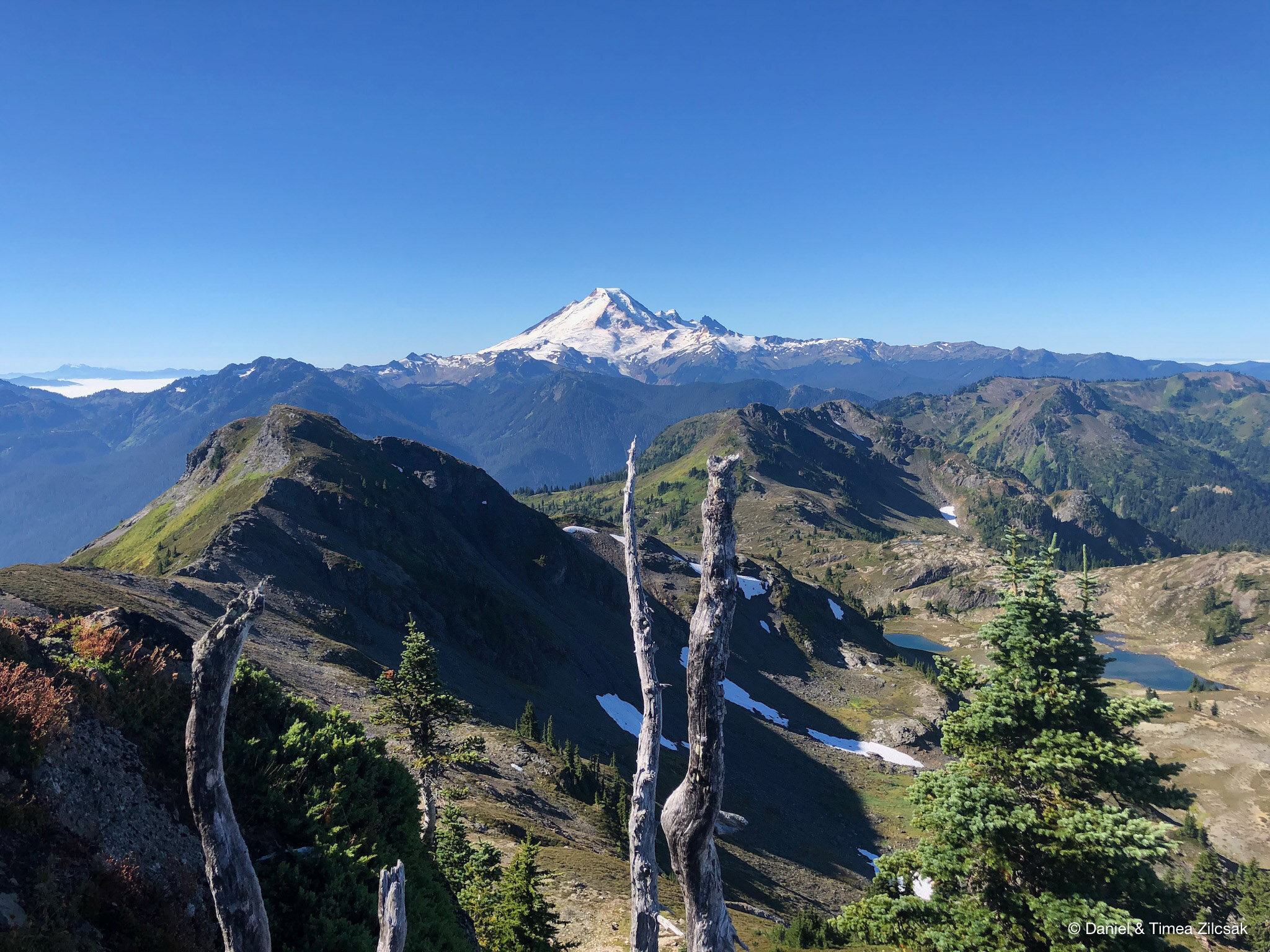
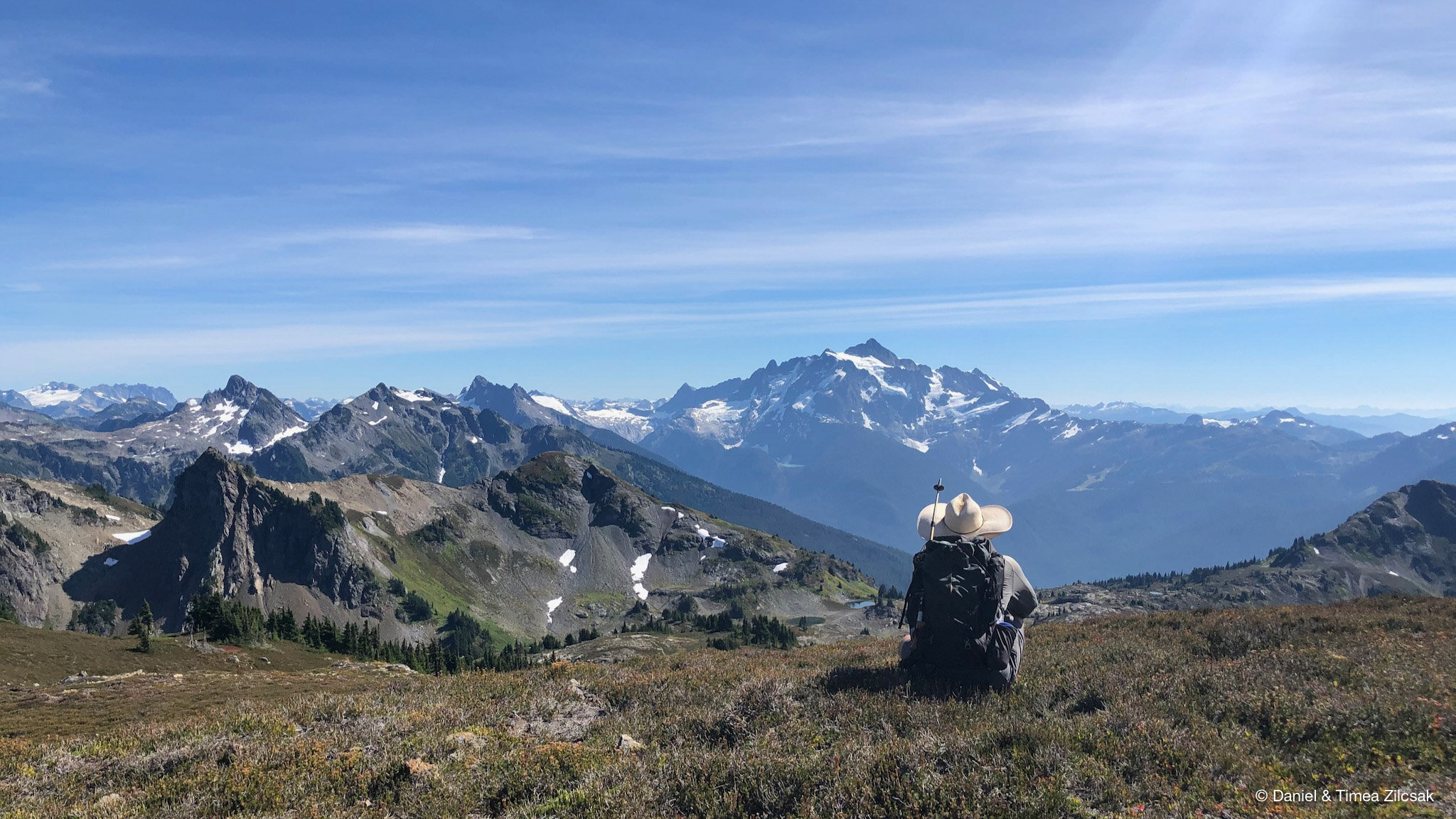
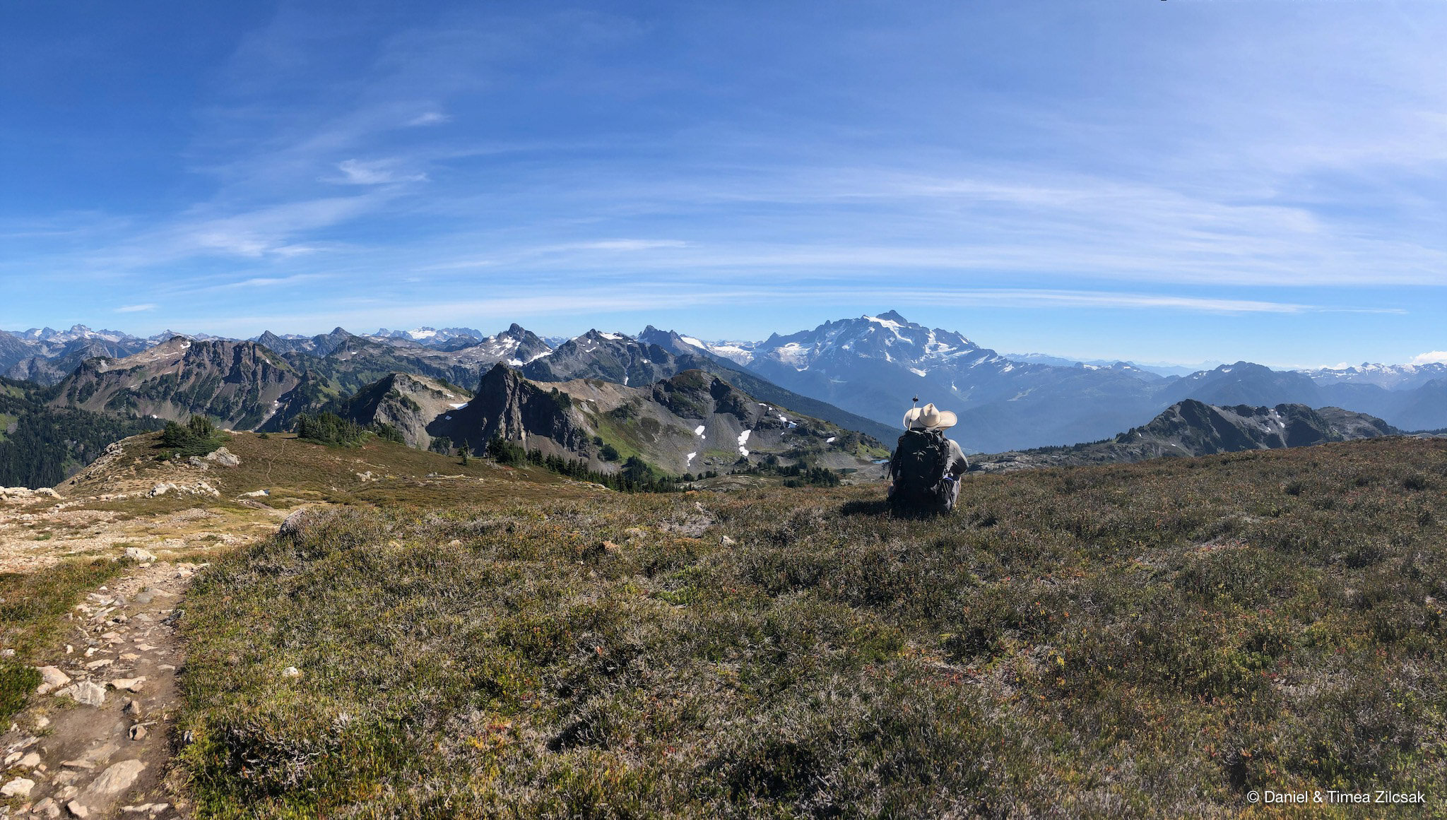
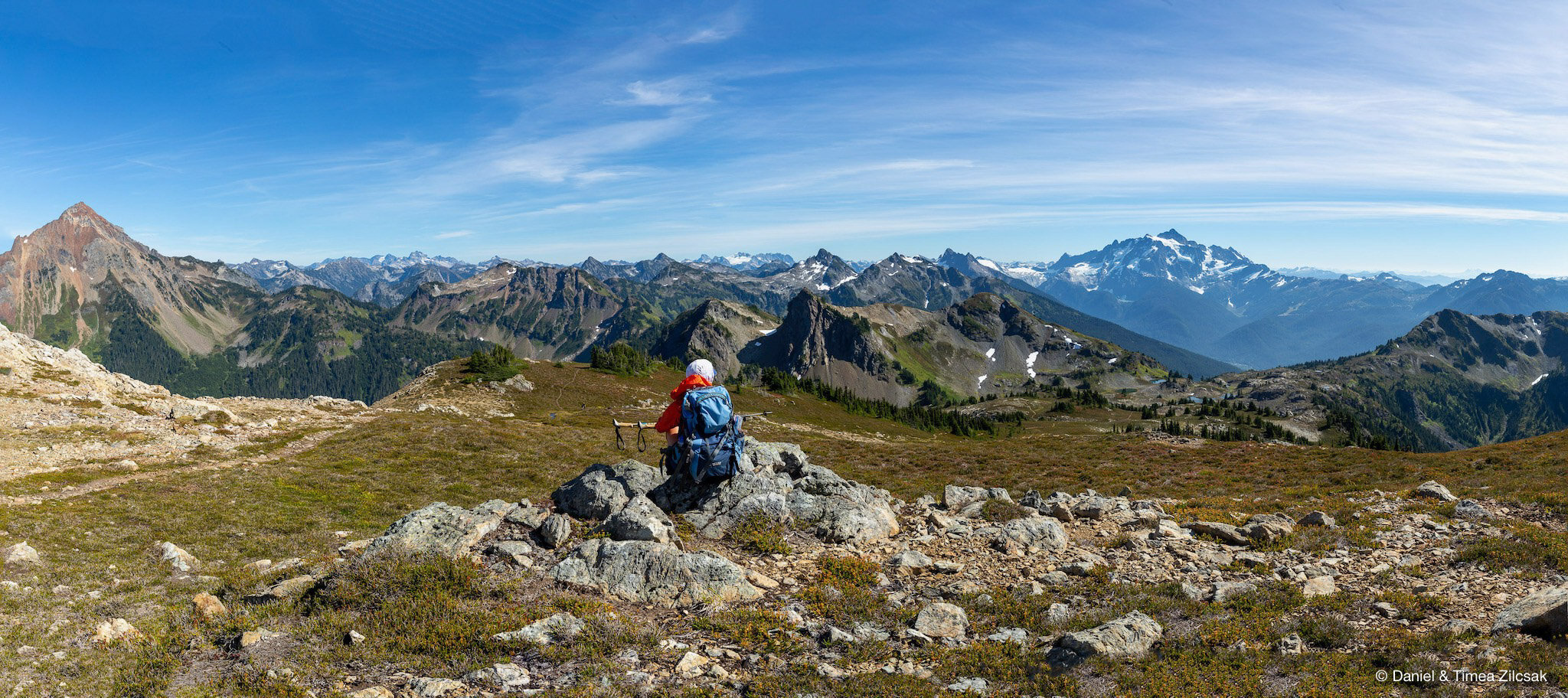
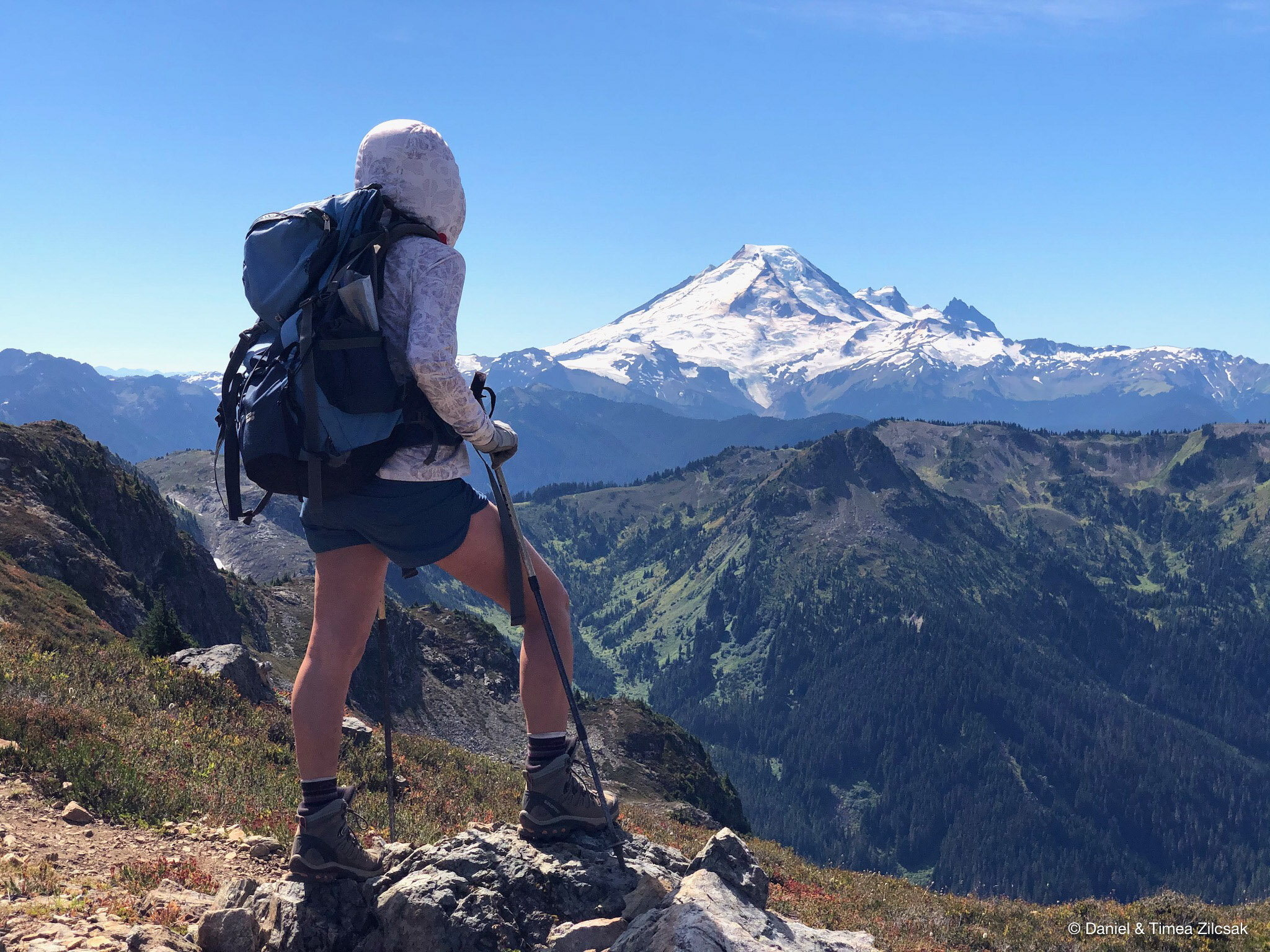
The walk from our camp to the false summit of Yellow Aster Butte was less than a mile long, but with about 800 ft of elevation gain, it was a pretty good warm-up section to start the day with. From here we could see Mount Baker to the South, Mount Shuksan to the South East, and Tomyhoi Peak to the North West.
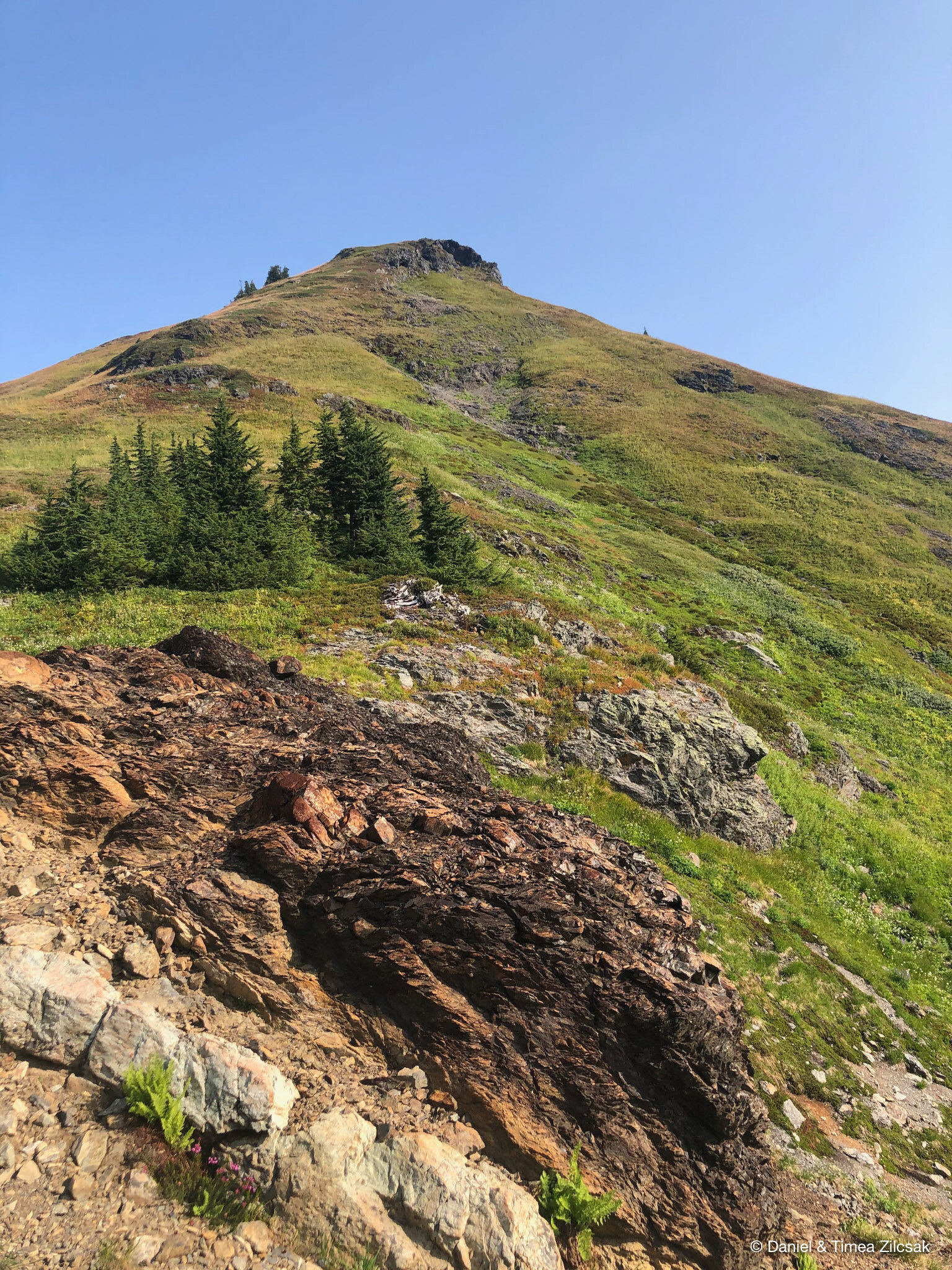
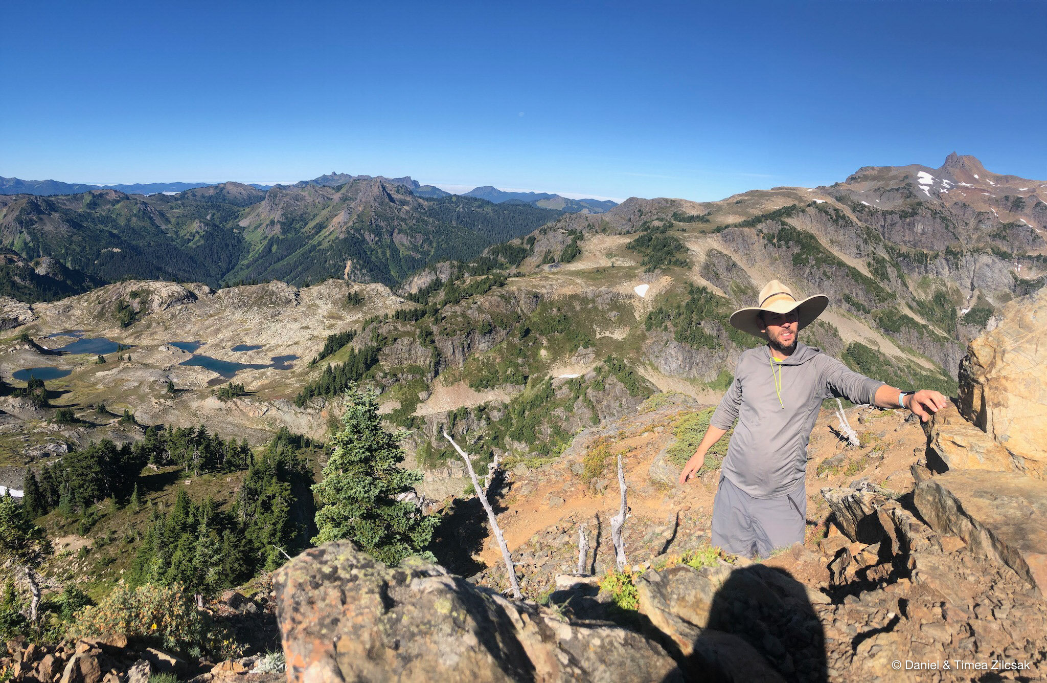
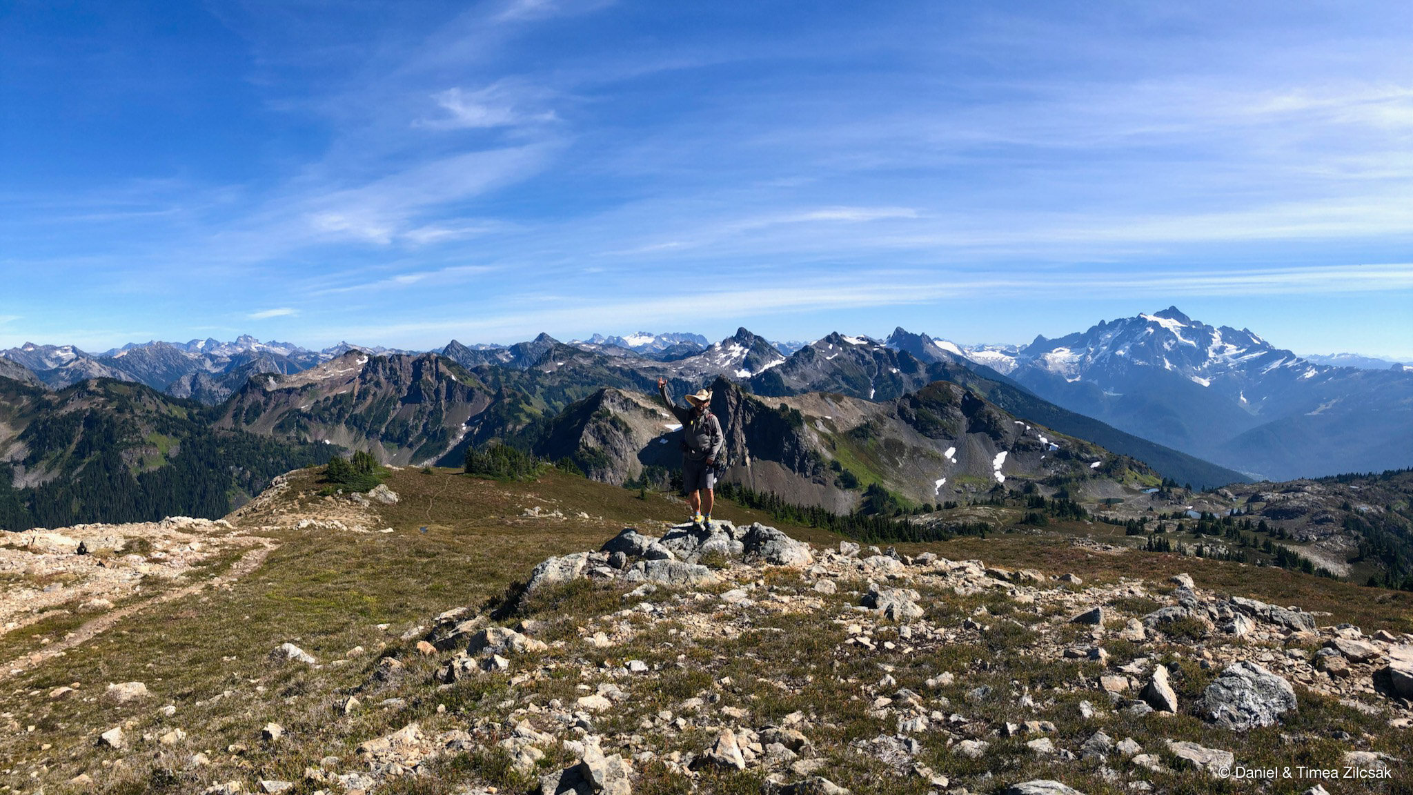
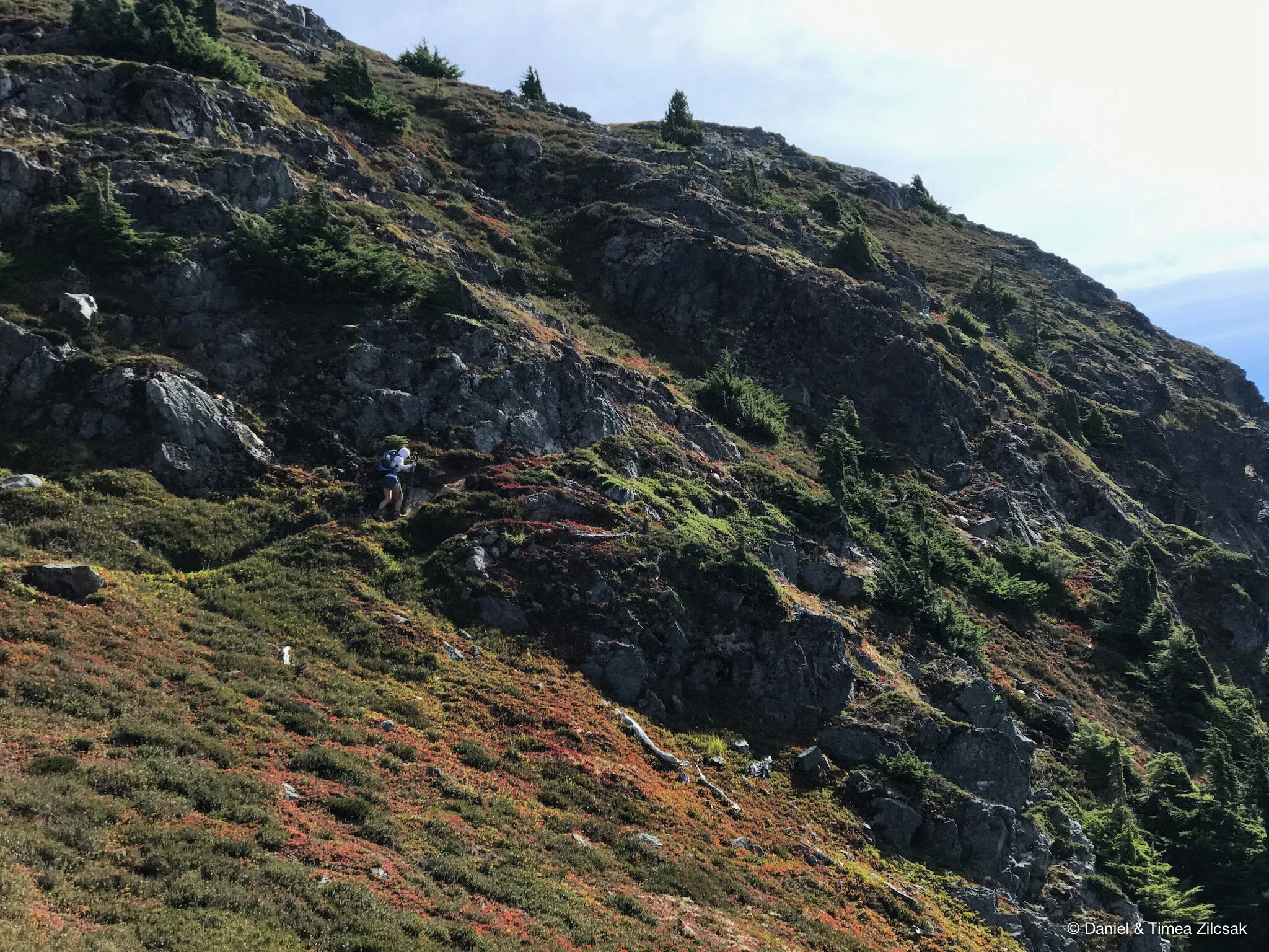
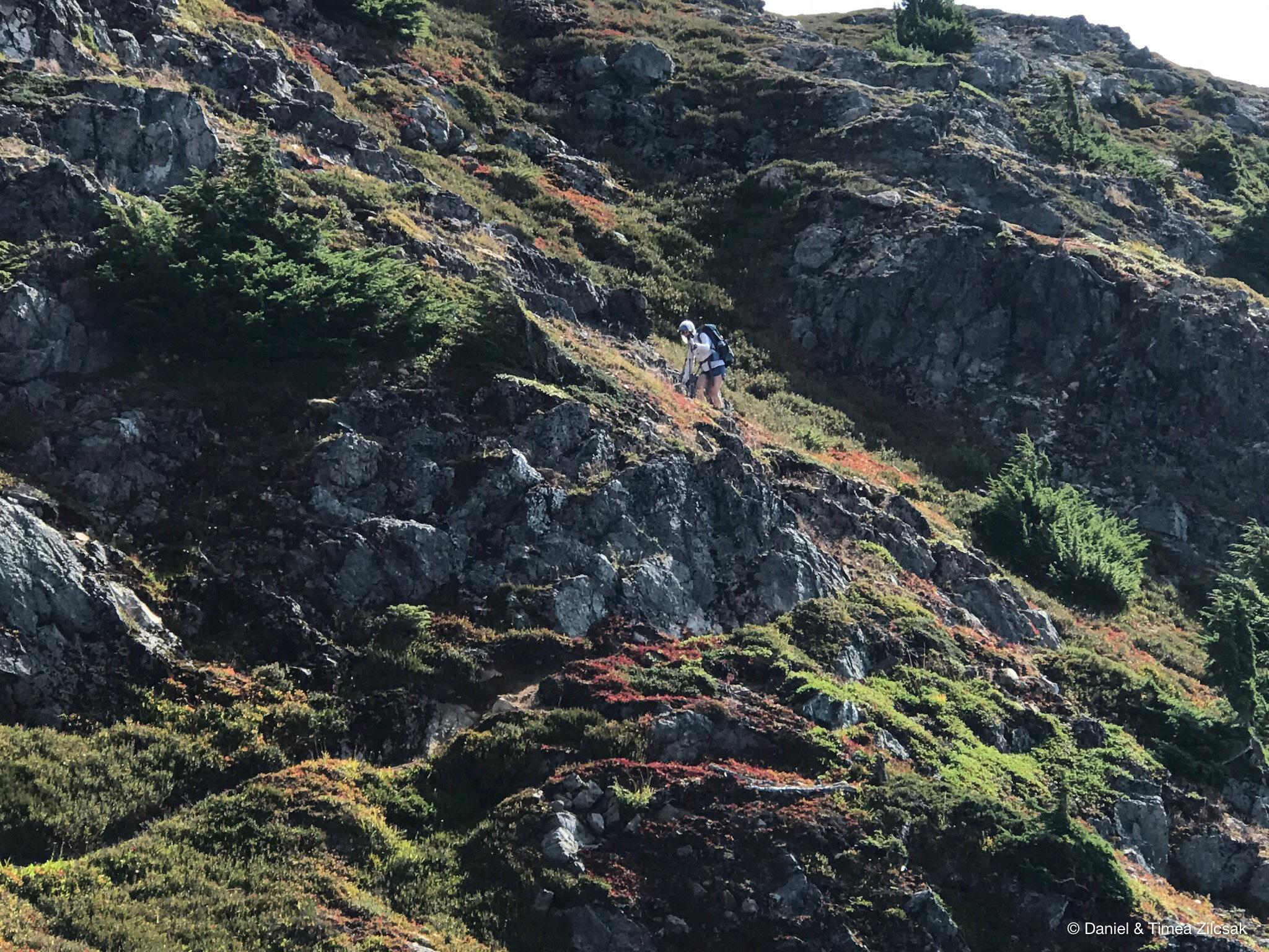
From the false summit, the trail to the true Yellow Aster Butte summit is visible, easy to follow, and it is less than 1/2 mile long. It is a fun walk with a bit of scrambling at the end to reach the summit.
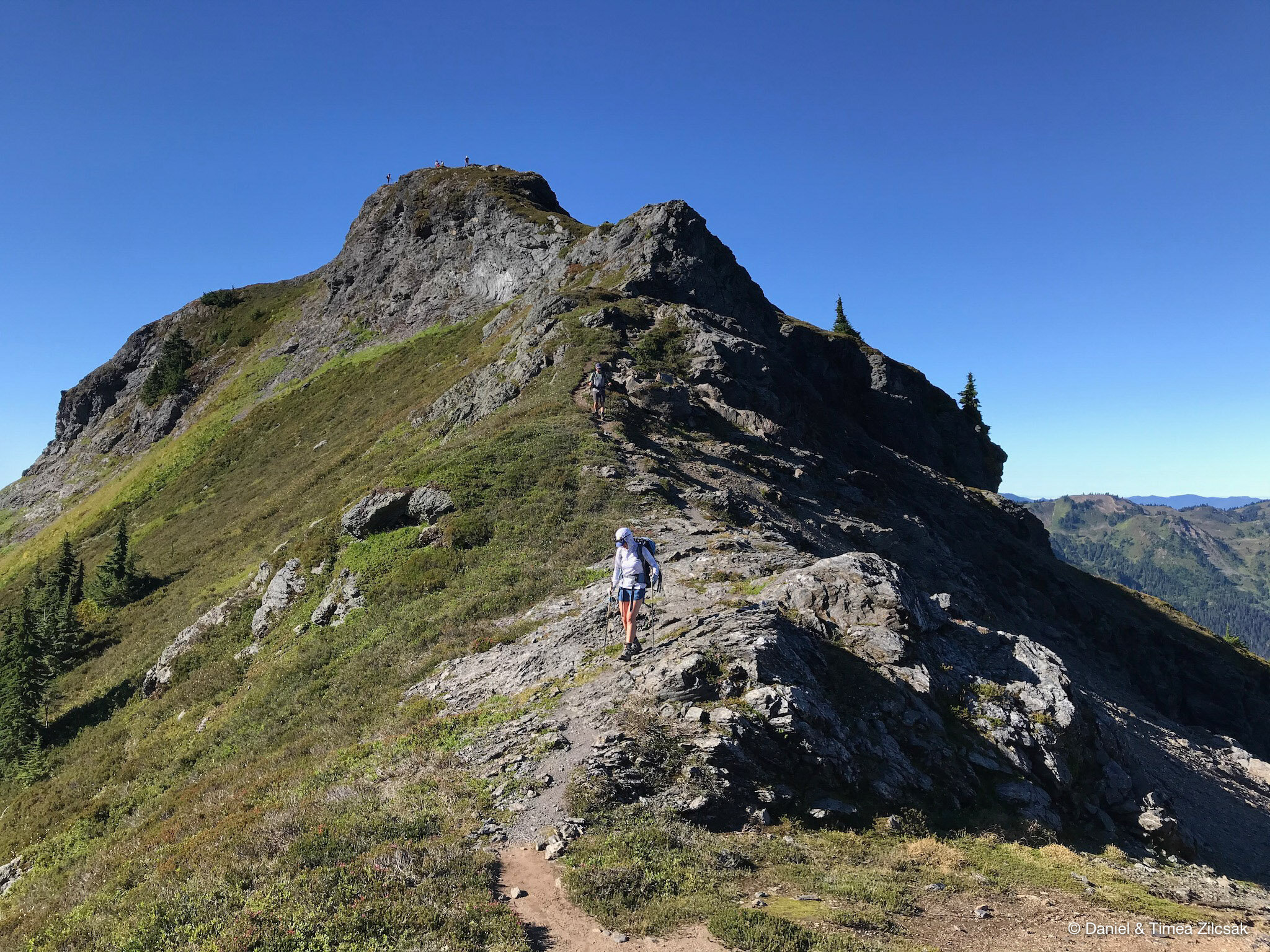
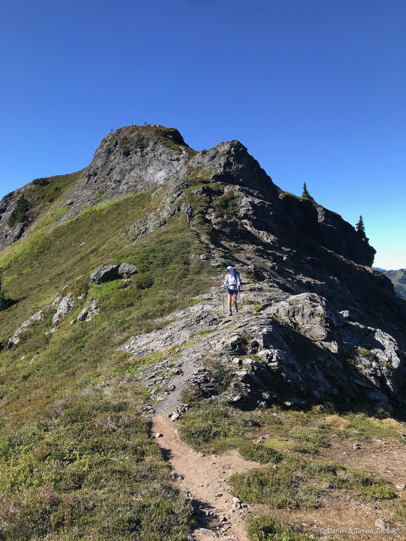
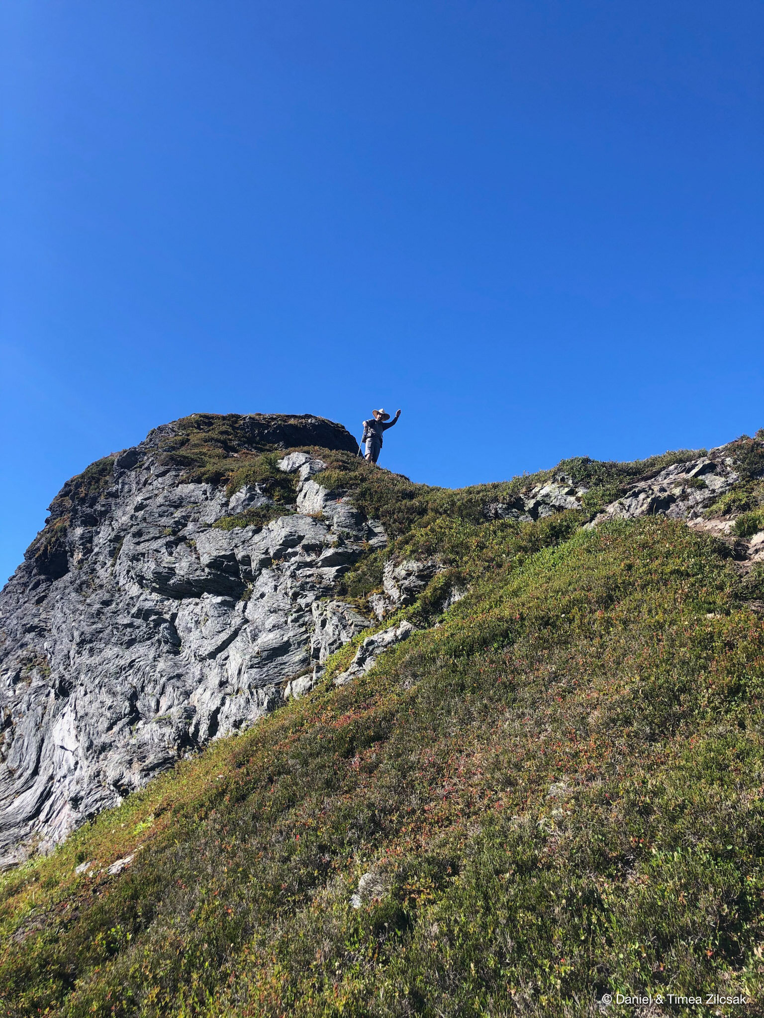
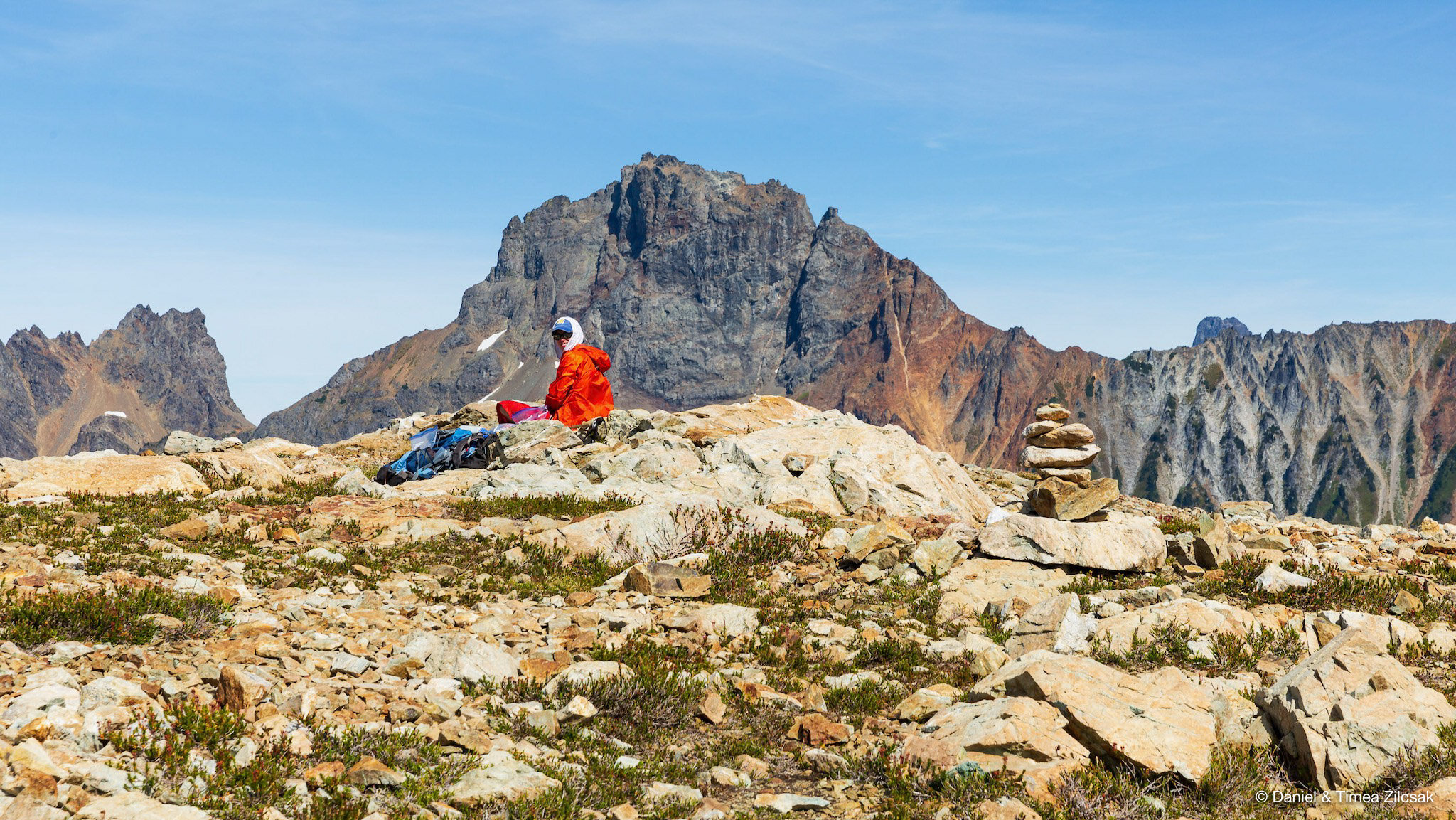
Once again the views did not disappoint! The true summit is a very small block, not more than 2-3 people fit on it.
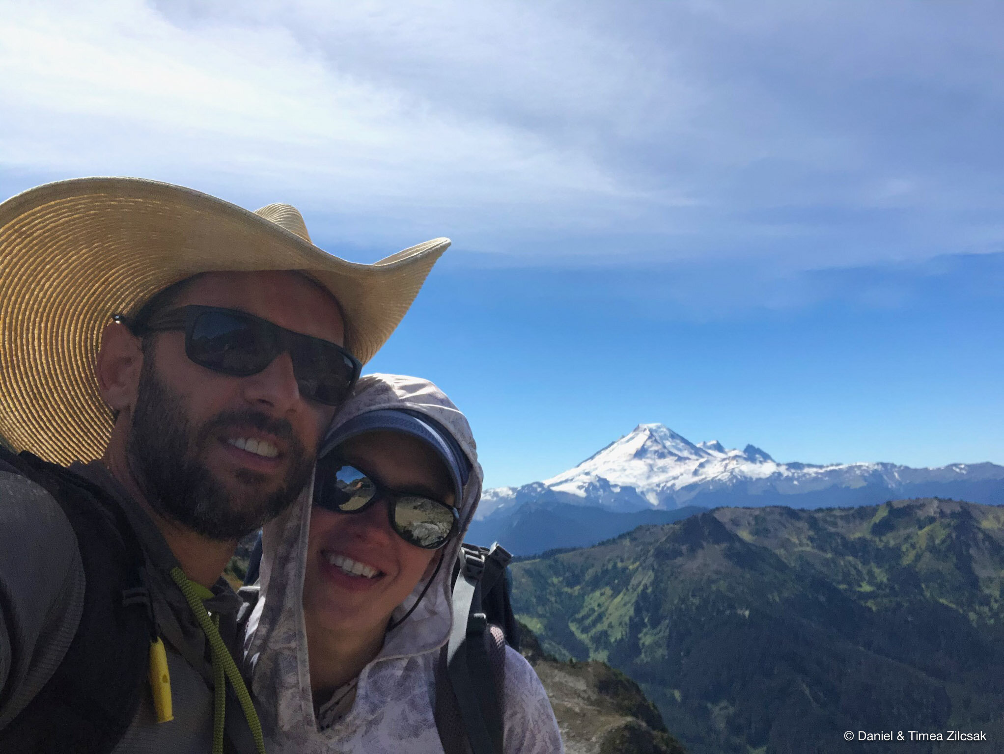
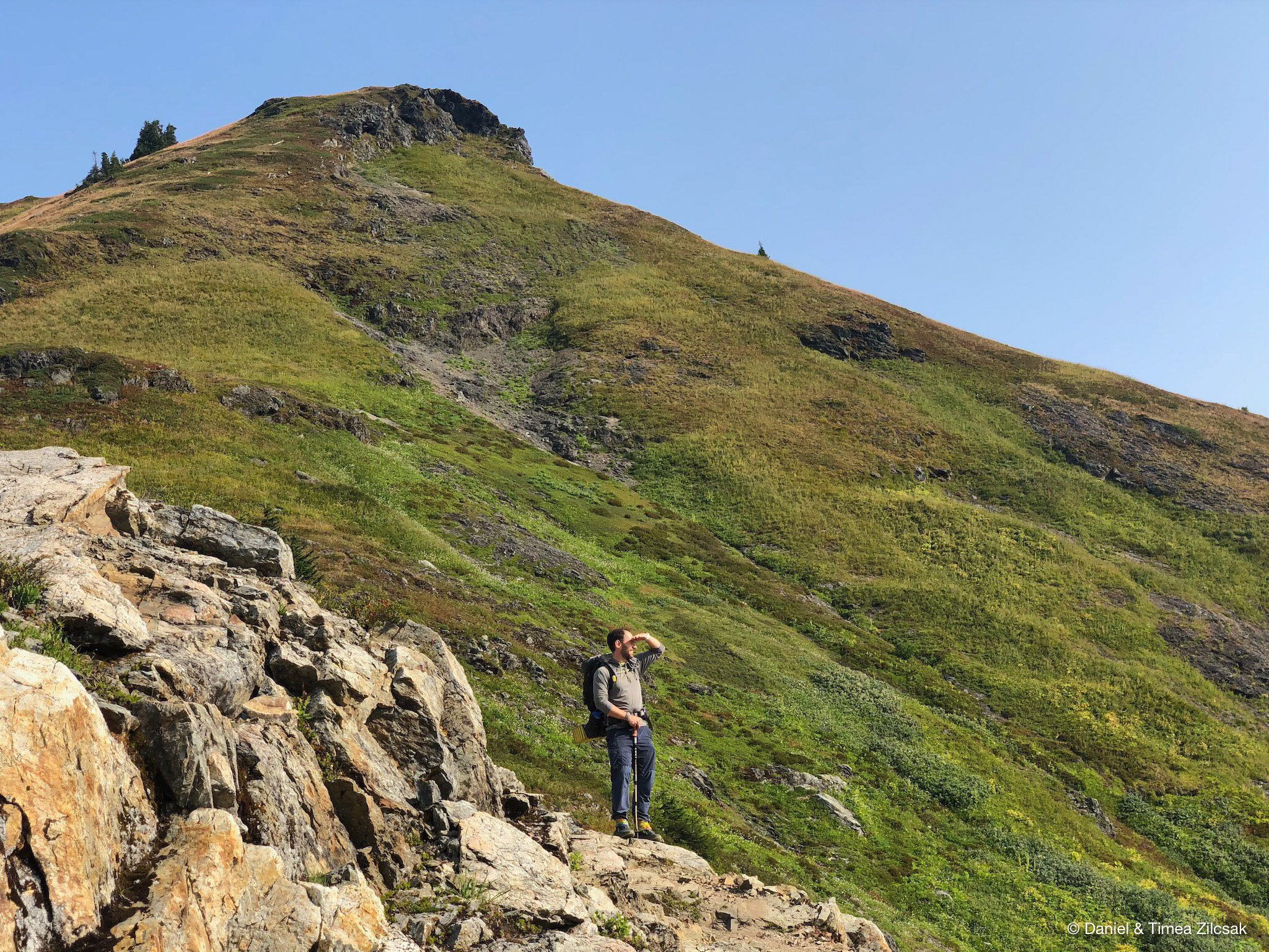
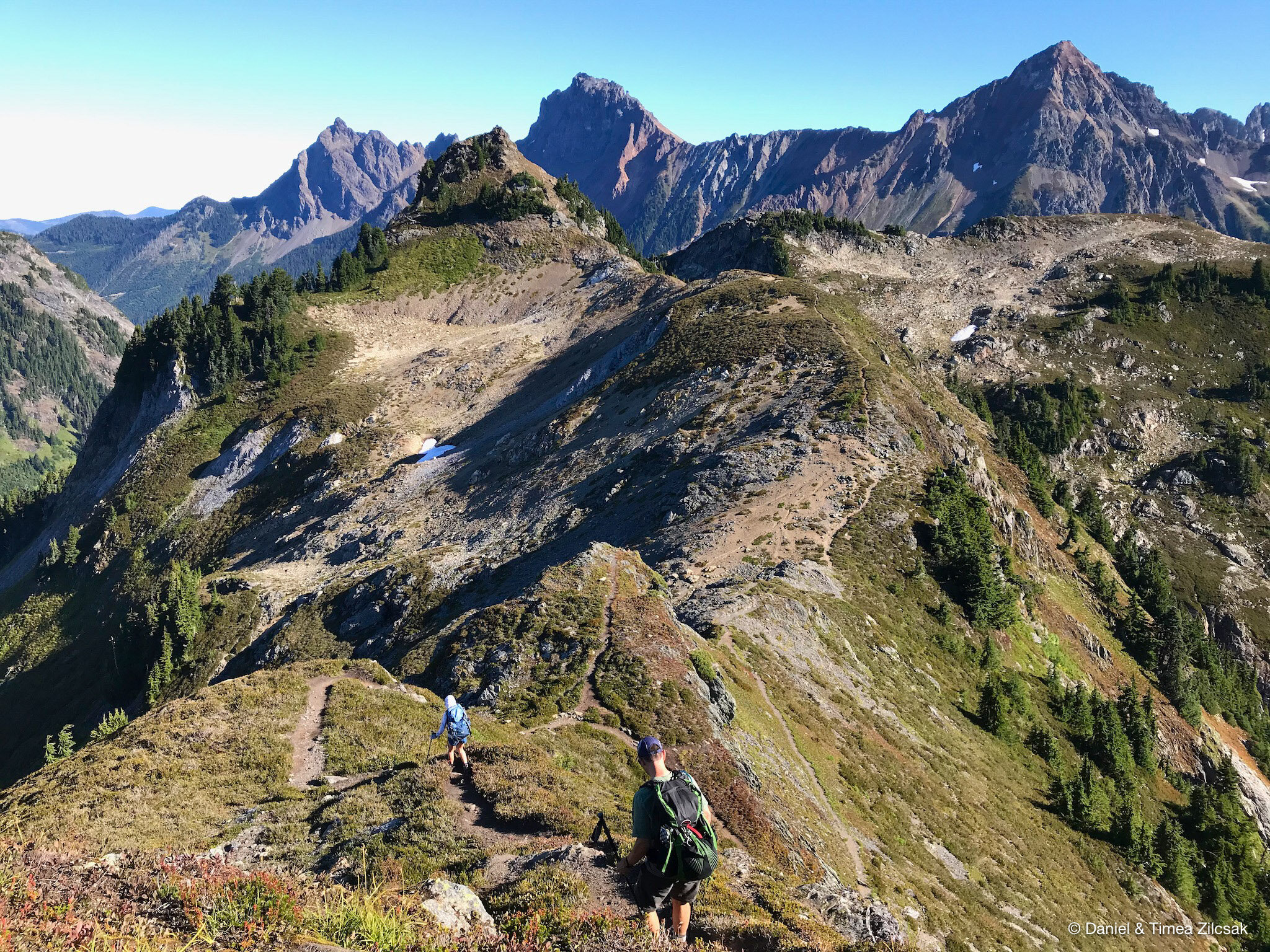
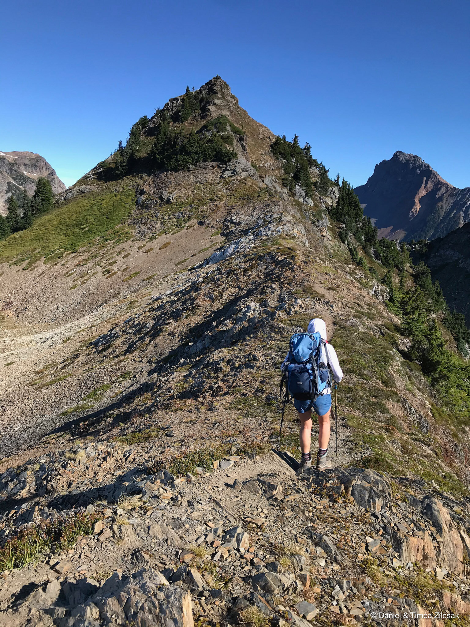
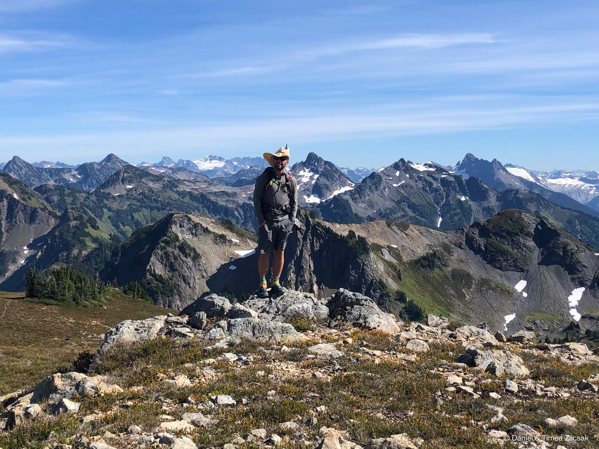
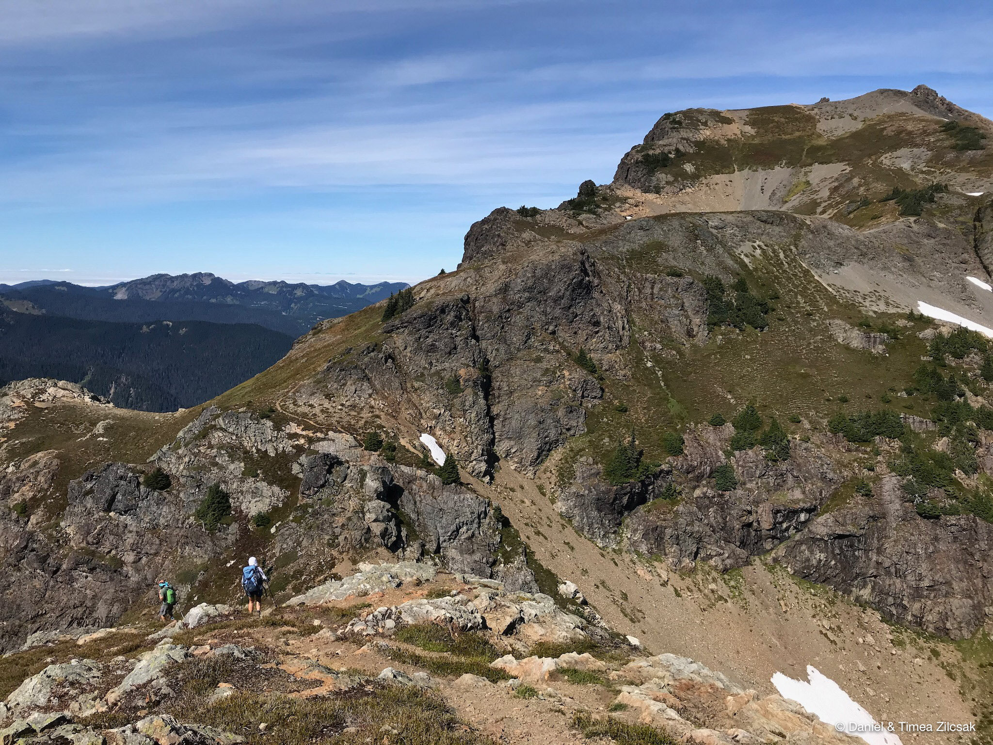
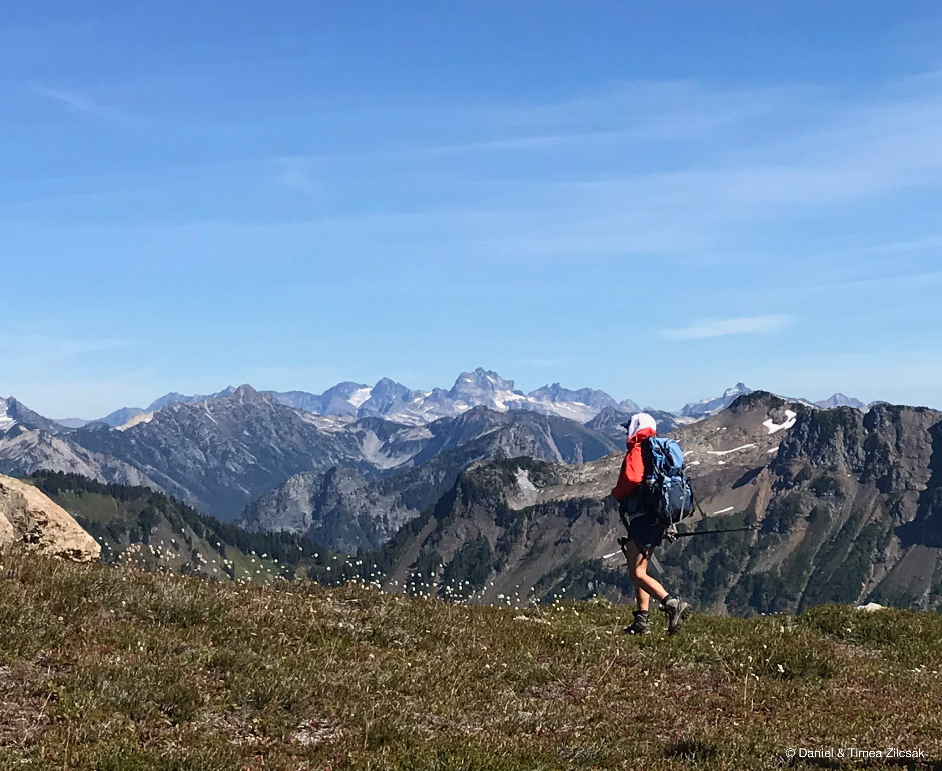
After taking a few more pictures and enjoying the 360-degree views from the summit of Yellow Aster Butte, we headed over towards Tomyhoi Peak. We knew we will not be able to make it all the way to the top as we were not prepared for a glacier walk, but our friend Nate had planned to do so.
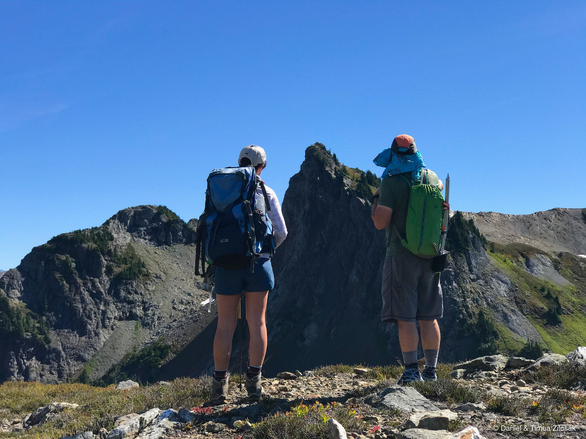
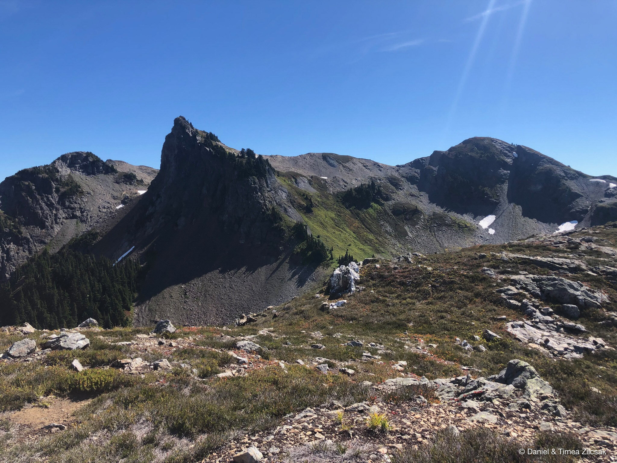
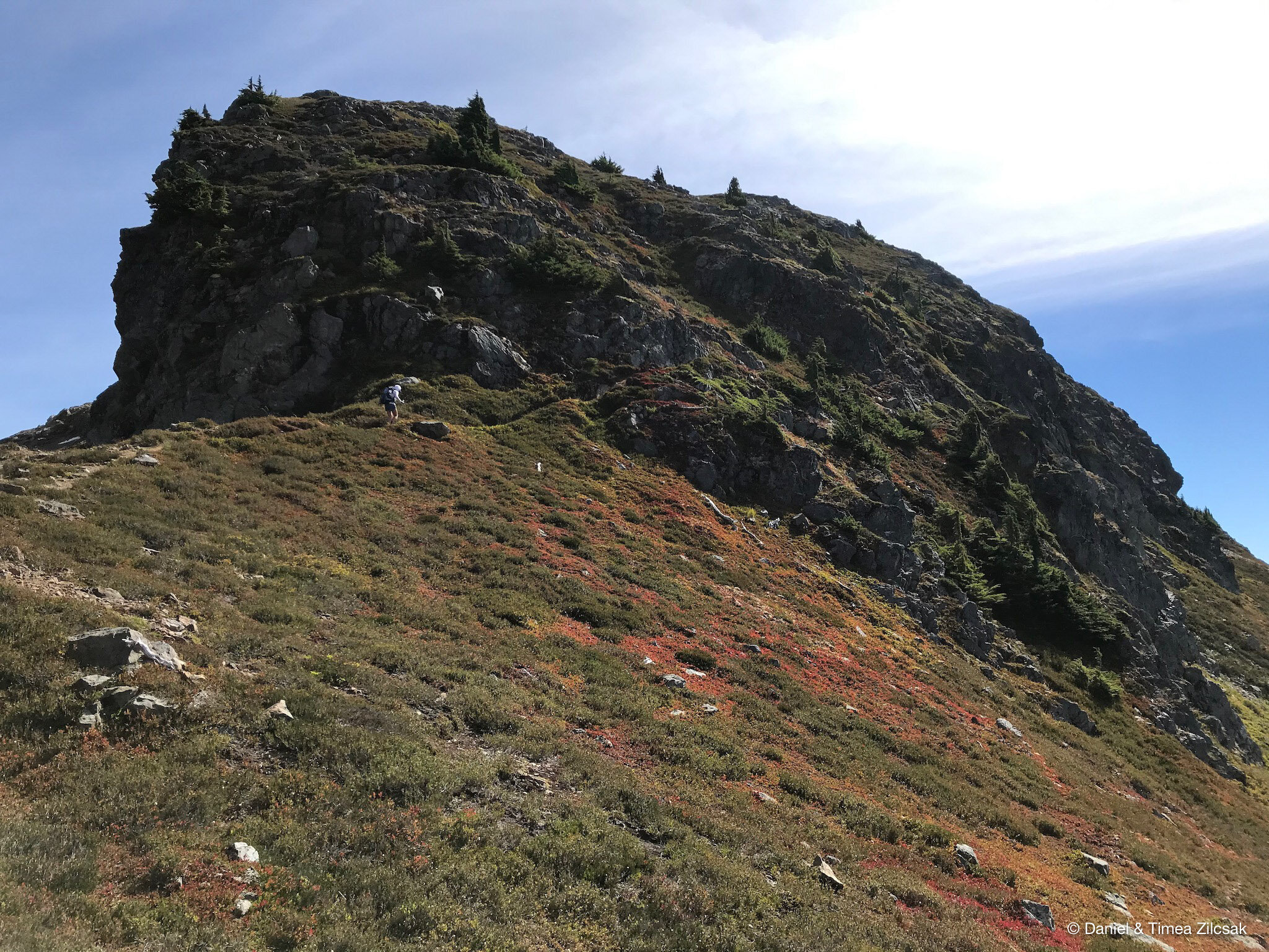
From the trail to Tomyhoi Peak we kept looking back towards Yellow Aster Butte as that summit looked more gnarly the more we looked at it. See here below for yourself!
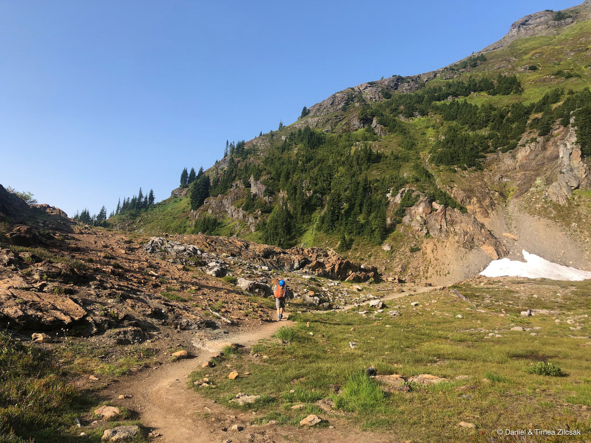
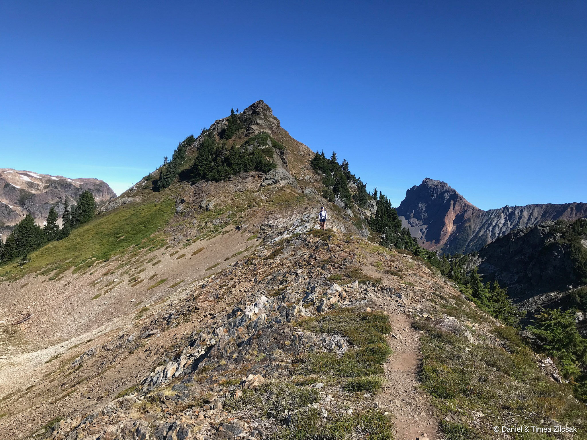
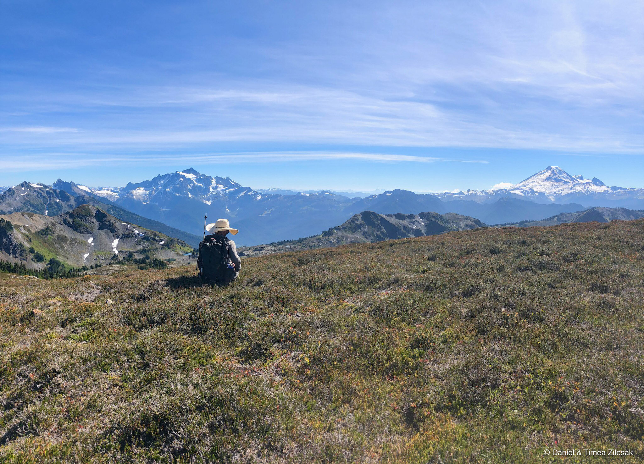
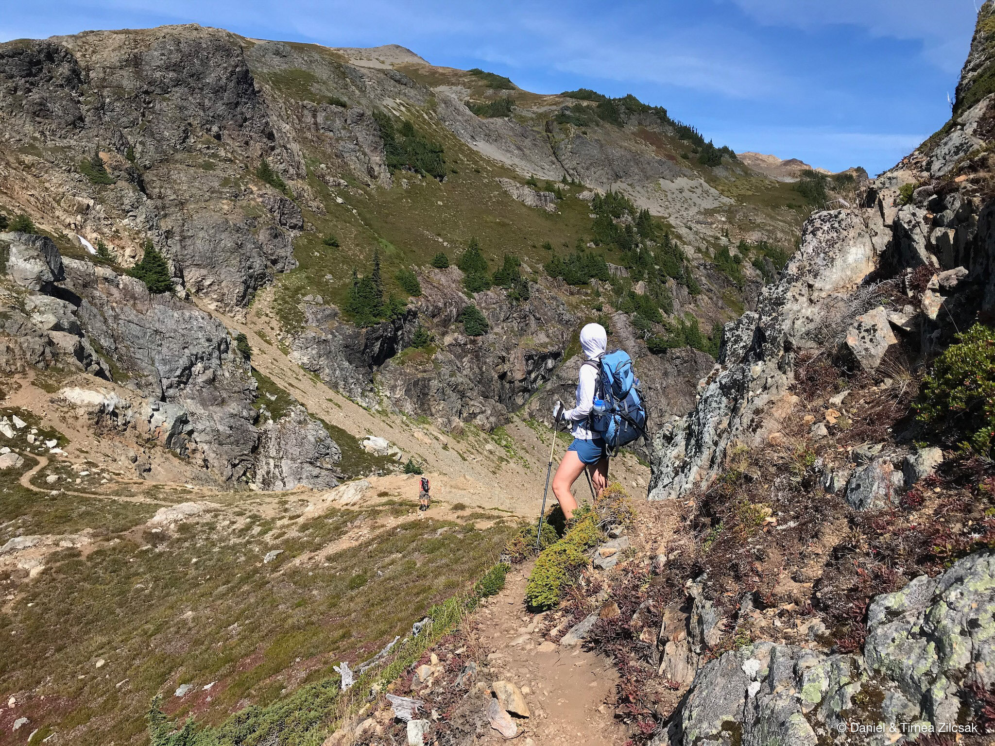
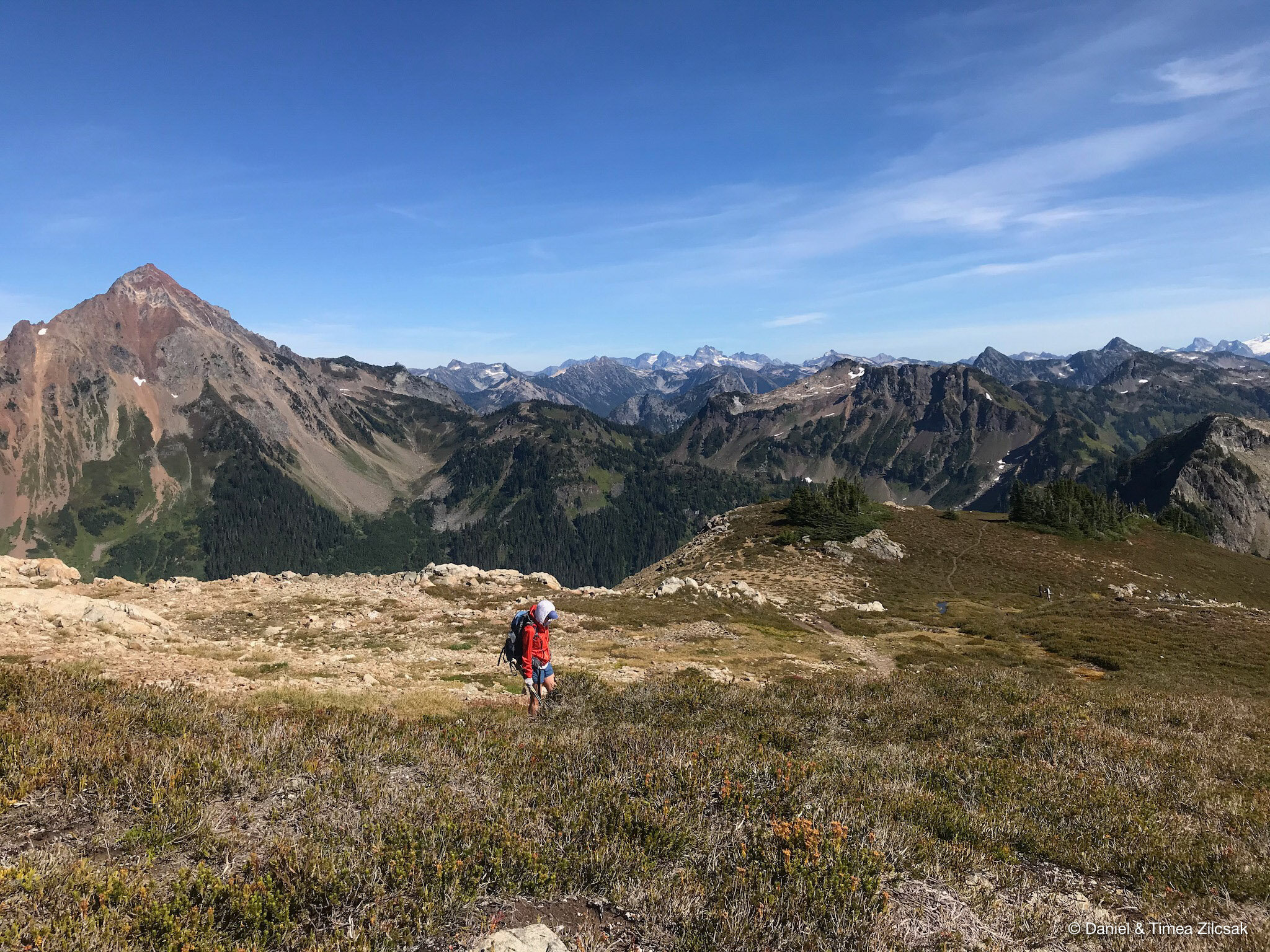
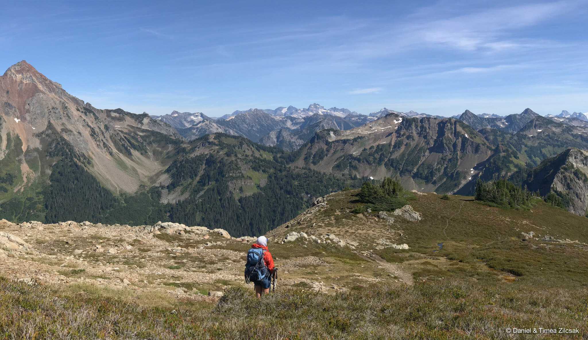
From the camping area, the trail towards Tomyhoi Peak is initially flat, passing through a handful of tarns. It then picks up elevation quickly by taking a steep, straight-up path towards the first meadows. From here the views of the North Cascades jagged peaks kept getting better and better.
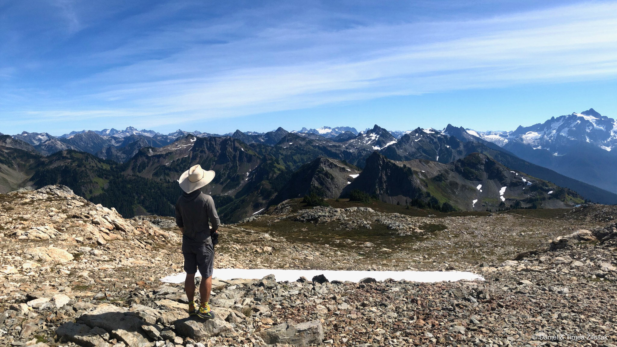
The trail continues going up and down and up and down for a couple of more times before reaches the glacier. We decided to call it a day after we descended in the first gully, where the terrain is way steeper.
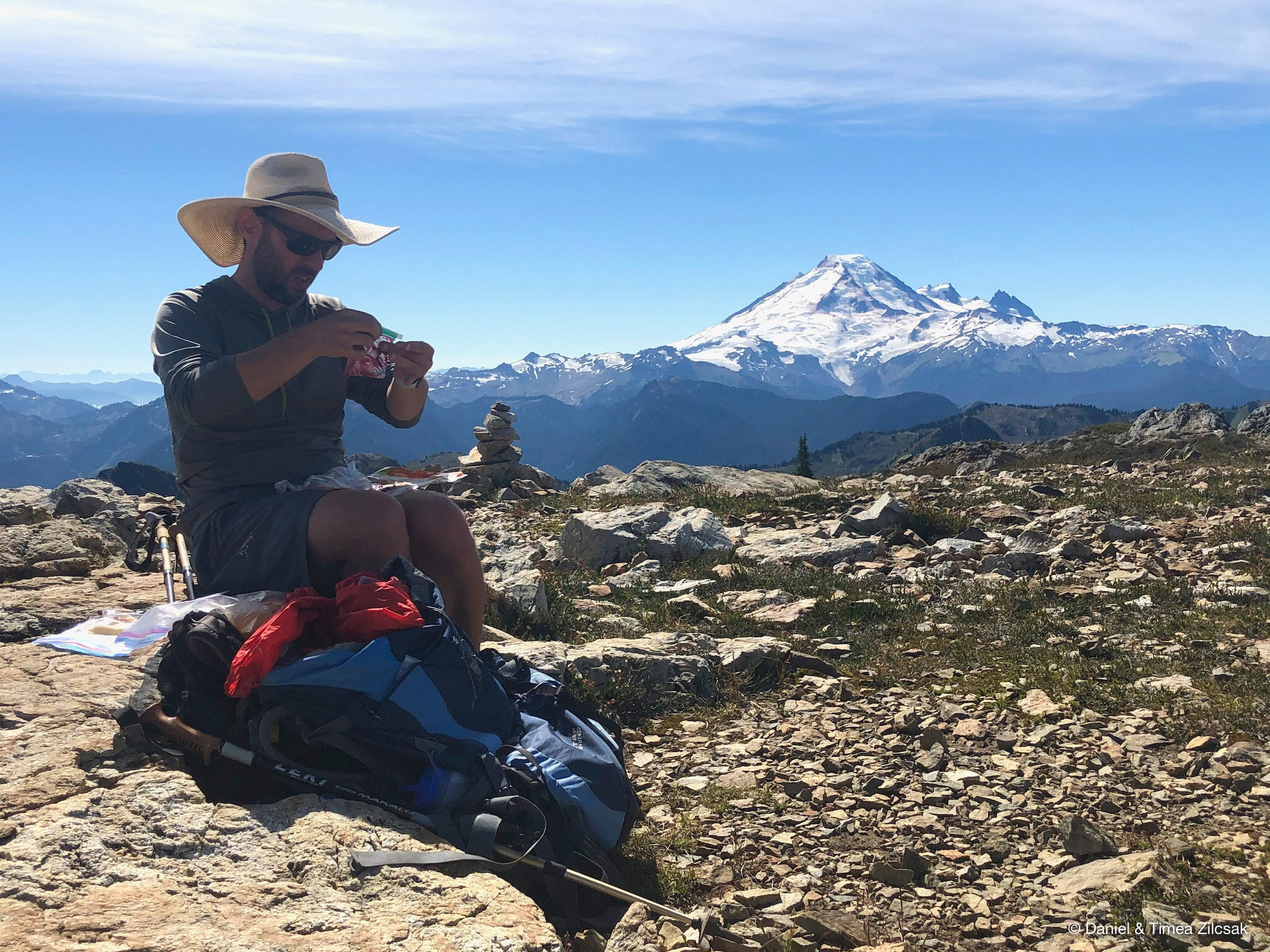
On our way back to camp, we found a great spot to have our lunch and take in more of the majestic views of Mount Baker, Mount Shuksan, Mount Larrabee, American Border Peak, Yellow Aster Butte, and many more jagged, snow-covered peaks piercing the sky ahead of us.
Day 3: Yellow Aster Butte to the trailhead
Our last day was supposed to be very easy, so we decided to sleep in and take it easy, but in the morning we woke up to some windy and gusty weather that prompted us to quickly brake camp and head home.

Looking towards Canada with American Border Peak in the middle and Mount Larrabee to the right.
We had a great time at Yellow Aster Butte and we cannot wait to come back again to experience the colorful autumn scenery that this place is so well known for.
Happy Trails and all the best!