
Backpacking High Pass Loop - Buck Creek, Napeequa Valley, Little Giant

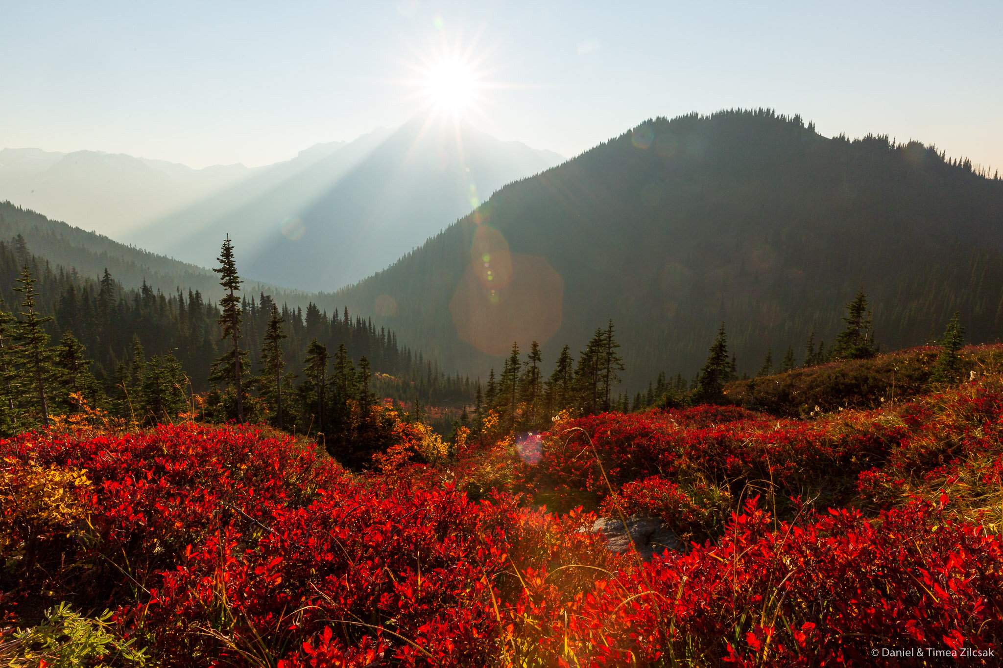
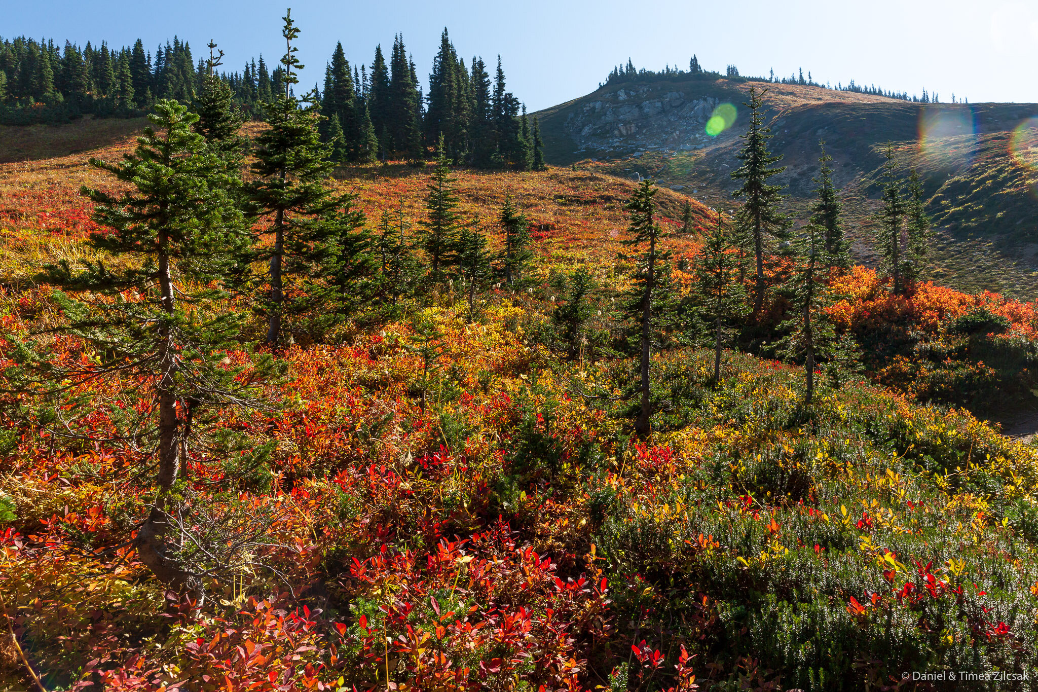
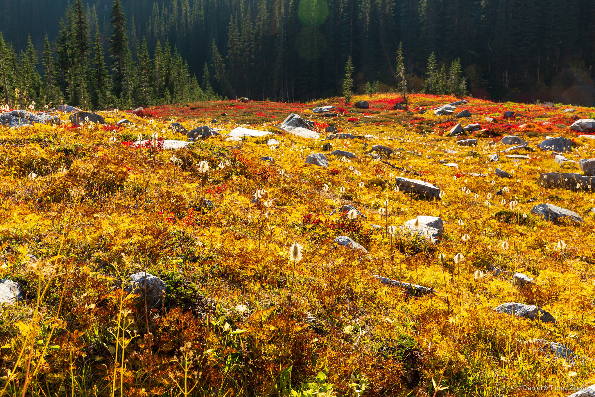
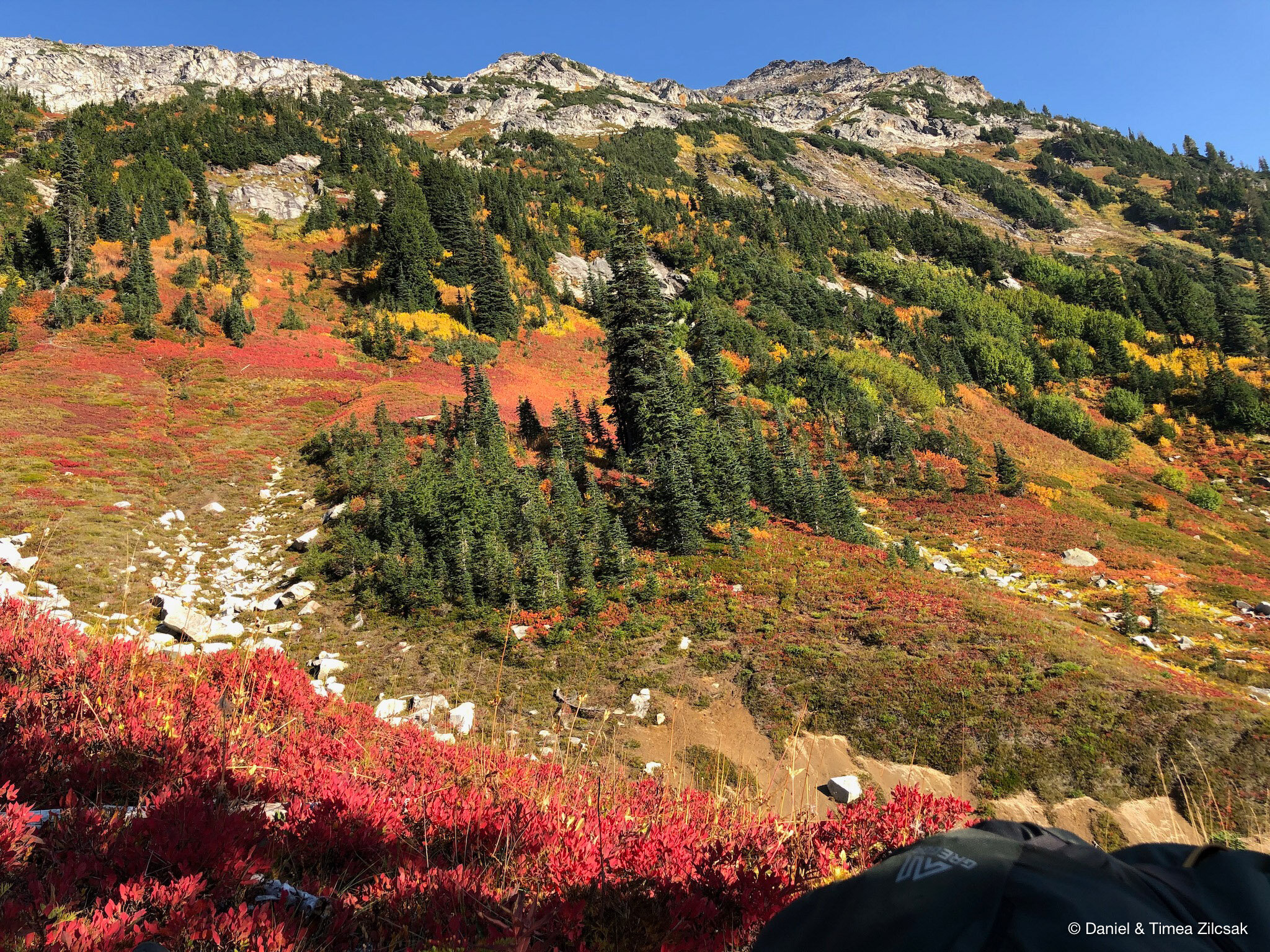
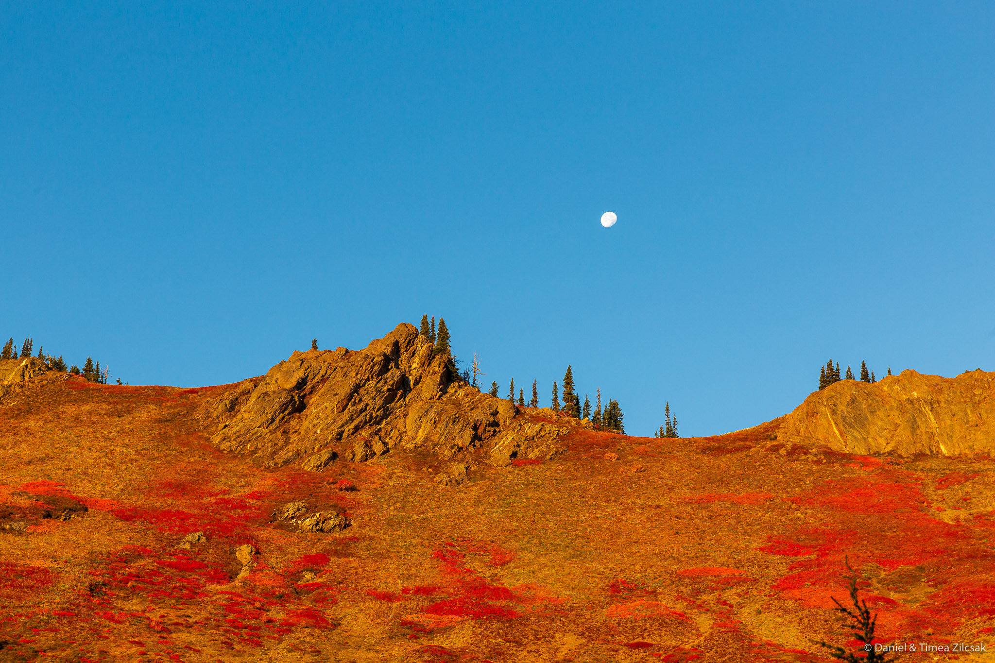
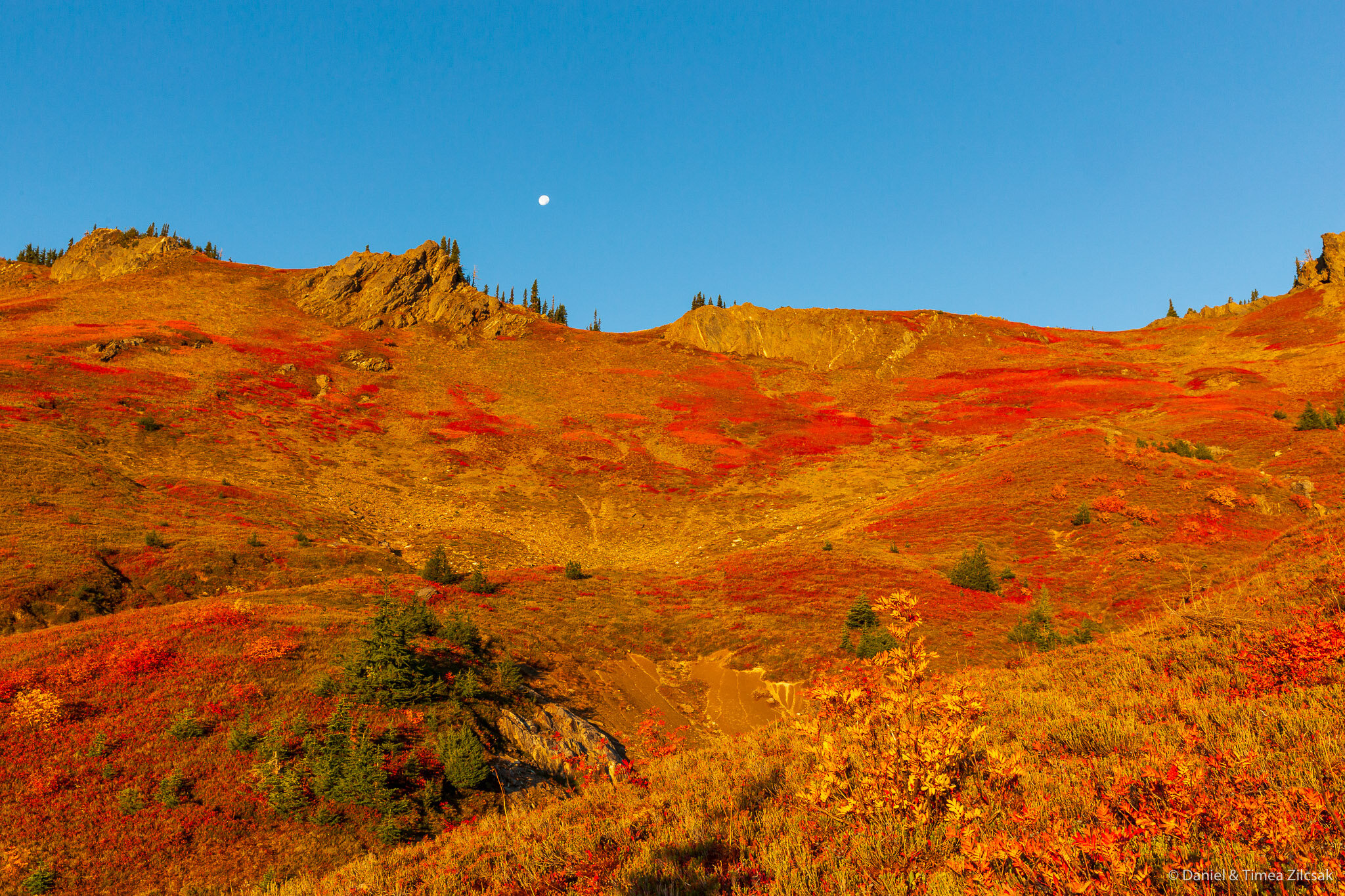
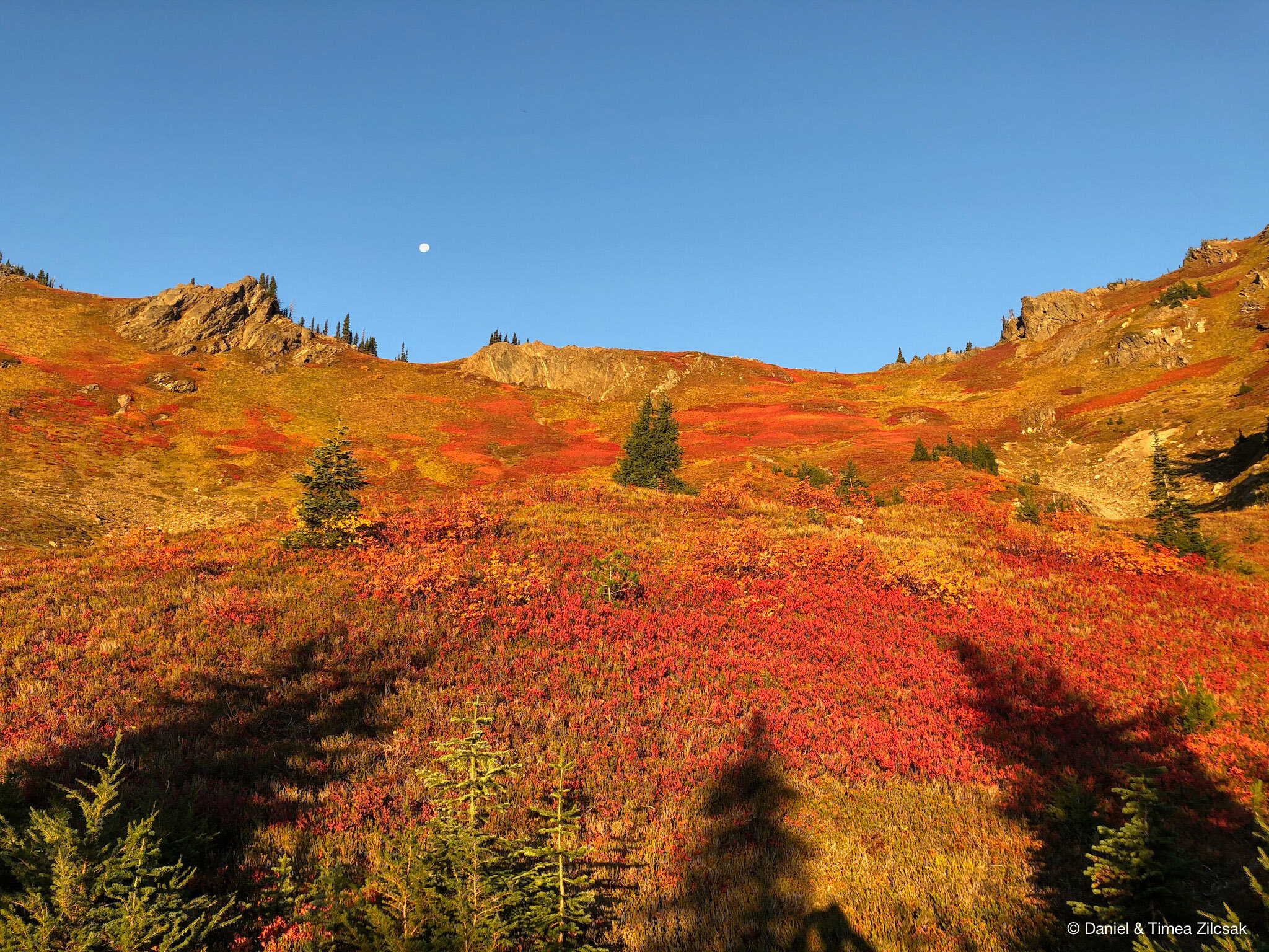
Yet another trip where words cannot describe the beauty of this dreamy place. And seeing it in the month of October, when entire mountains and valleys were carpeted for miles and miles with fiery red blueberry patches and warm, sun-lit yellow plants and brushes, all displaying their most colorful fall image, made it even more spectacular.
Join us on this unforgettable Glacier Peak Wilderness 4-day backpacking trip from Buck Creek Pass to Little Giant Pass through the famous High Pass and beautiful Napeequa Valley.
Approx. 30 miles loop, 7000 ft elevation gain. Green Trail Map: Holden No. 113. Start Trailhead: 48.07173, -120.85014. End Trailhead: 48.025640, -120.828345.
Our Day-by Day Itinerary
Day 1: Trailhead at Trinity to Buck Creek Pass
Day 2: Buck Creek Pass to Napeequa Valley via High Pass
Day 3: Napeequa Valley to Little Giant Pass
Day 4: Little Giant Pass to Trailhead at Chiwawa River Crossing
Read on for the full account of our trip, accompanied by lots of photos.
Day 1: Trailhead at Trinity to Buck Creek Pass
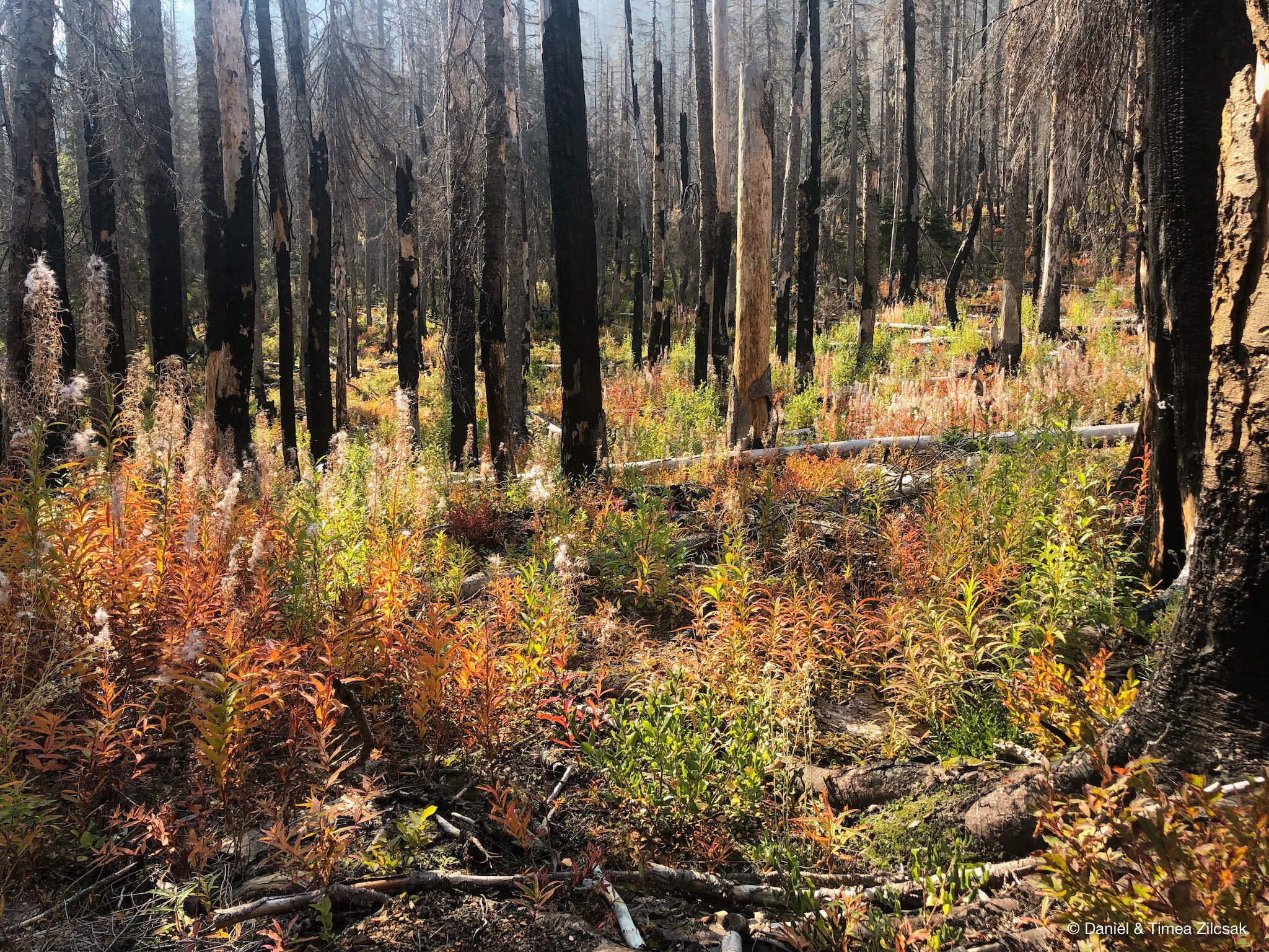
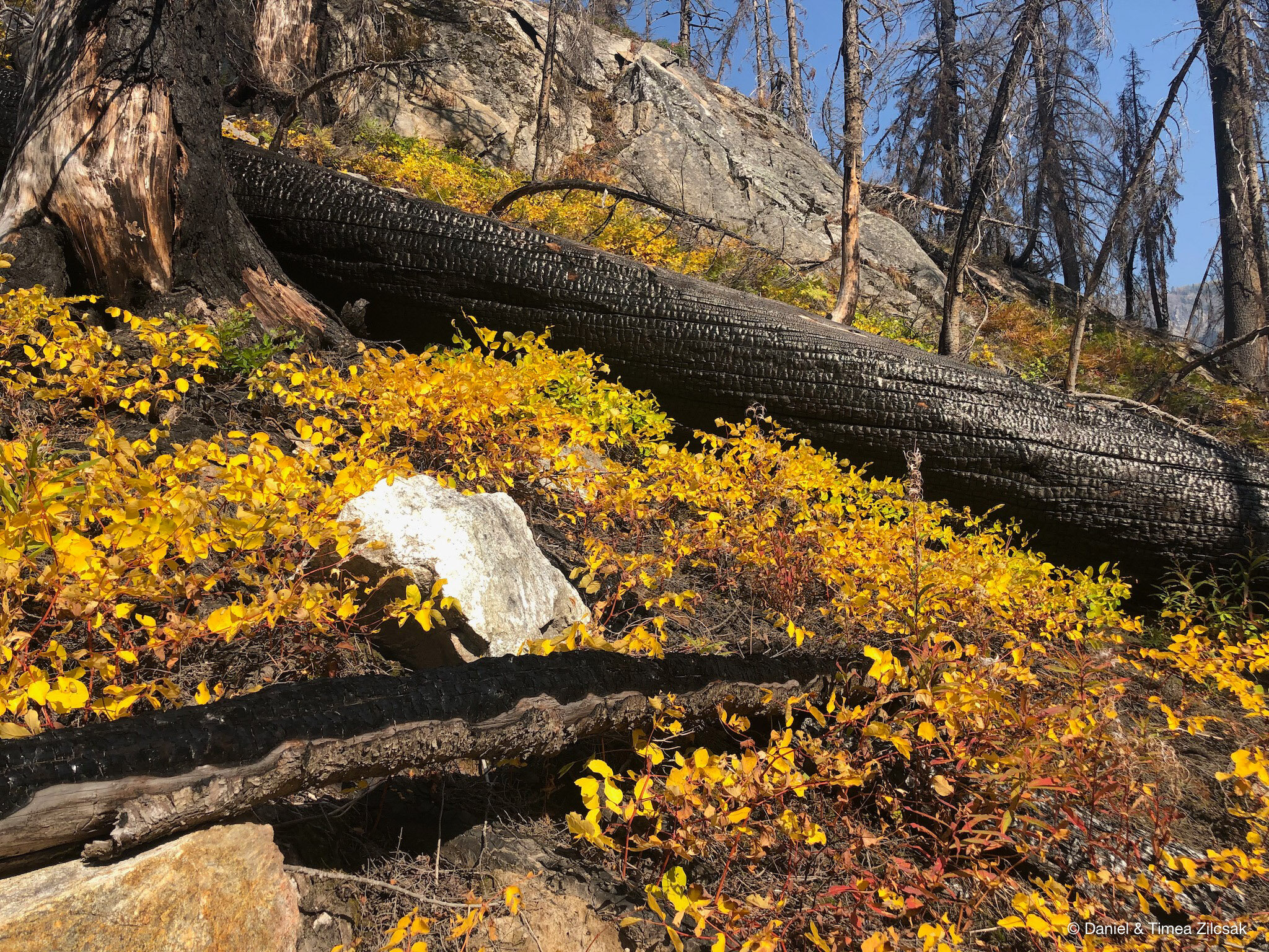
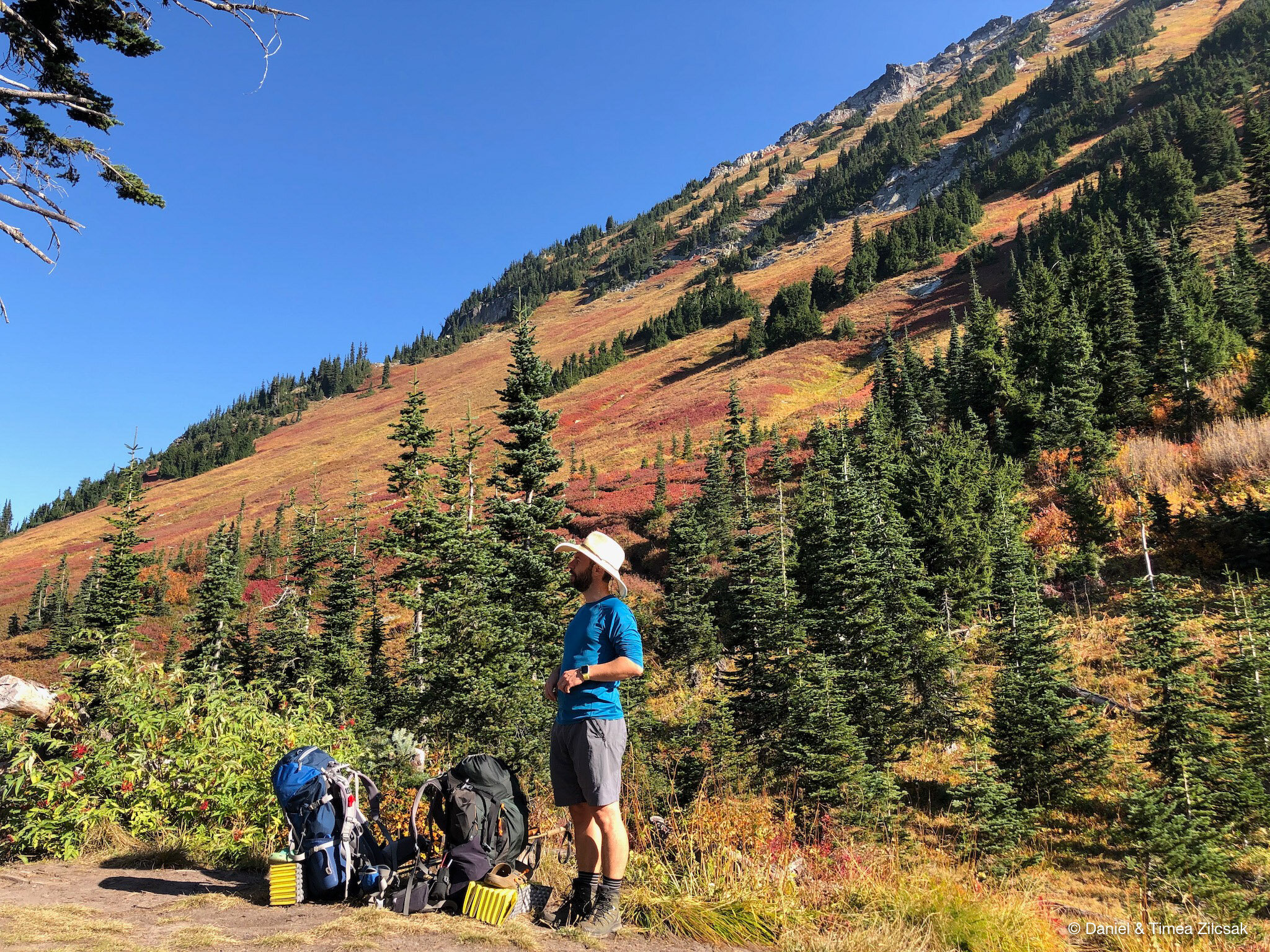
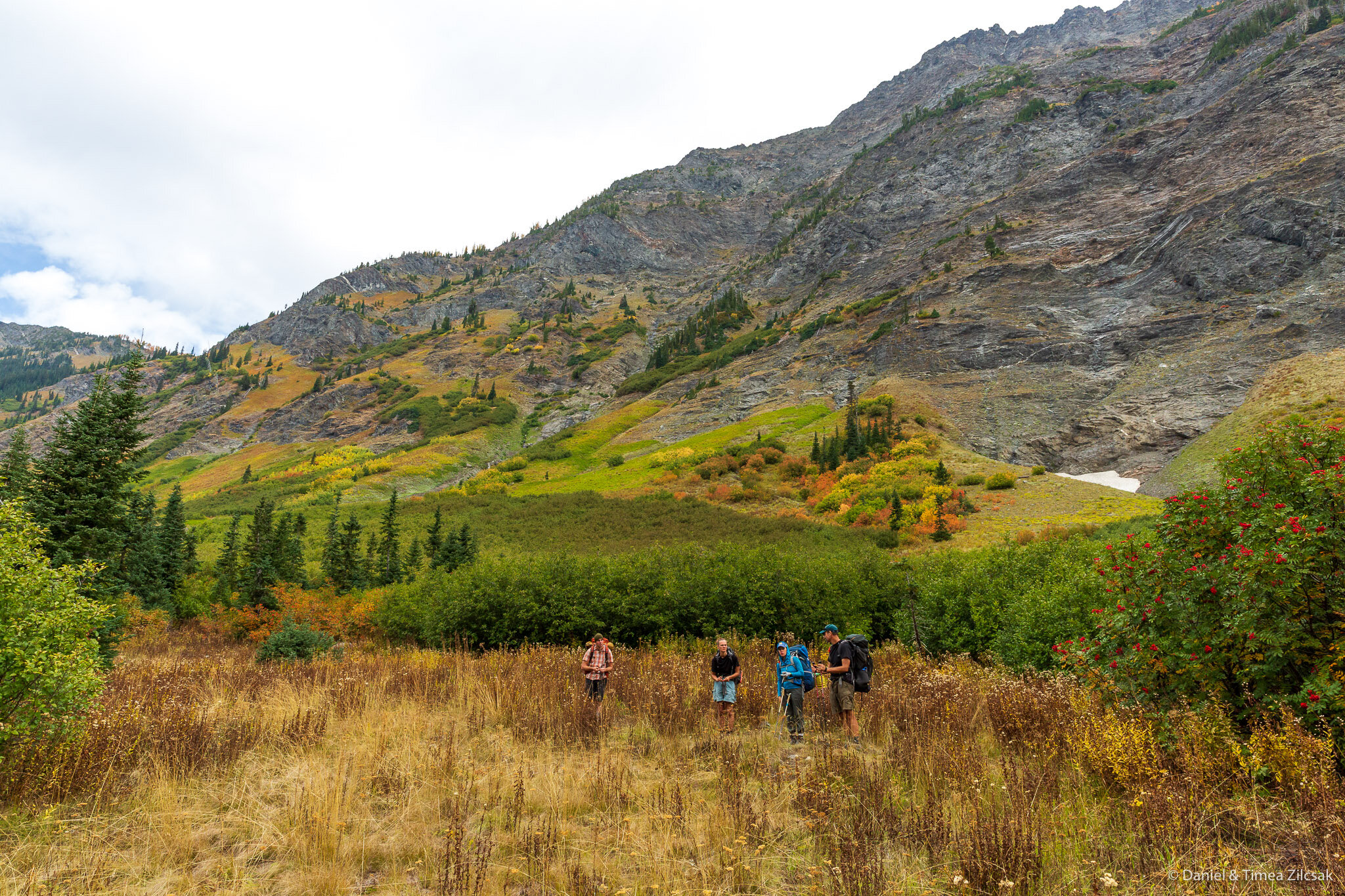
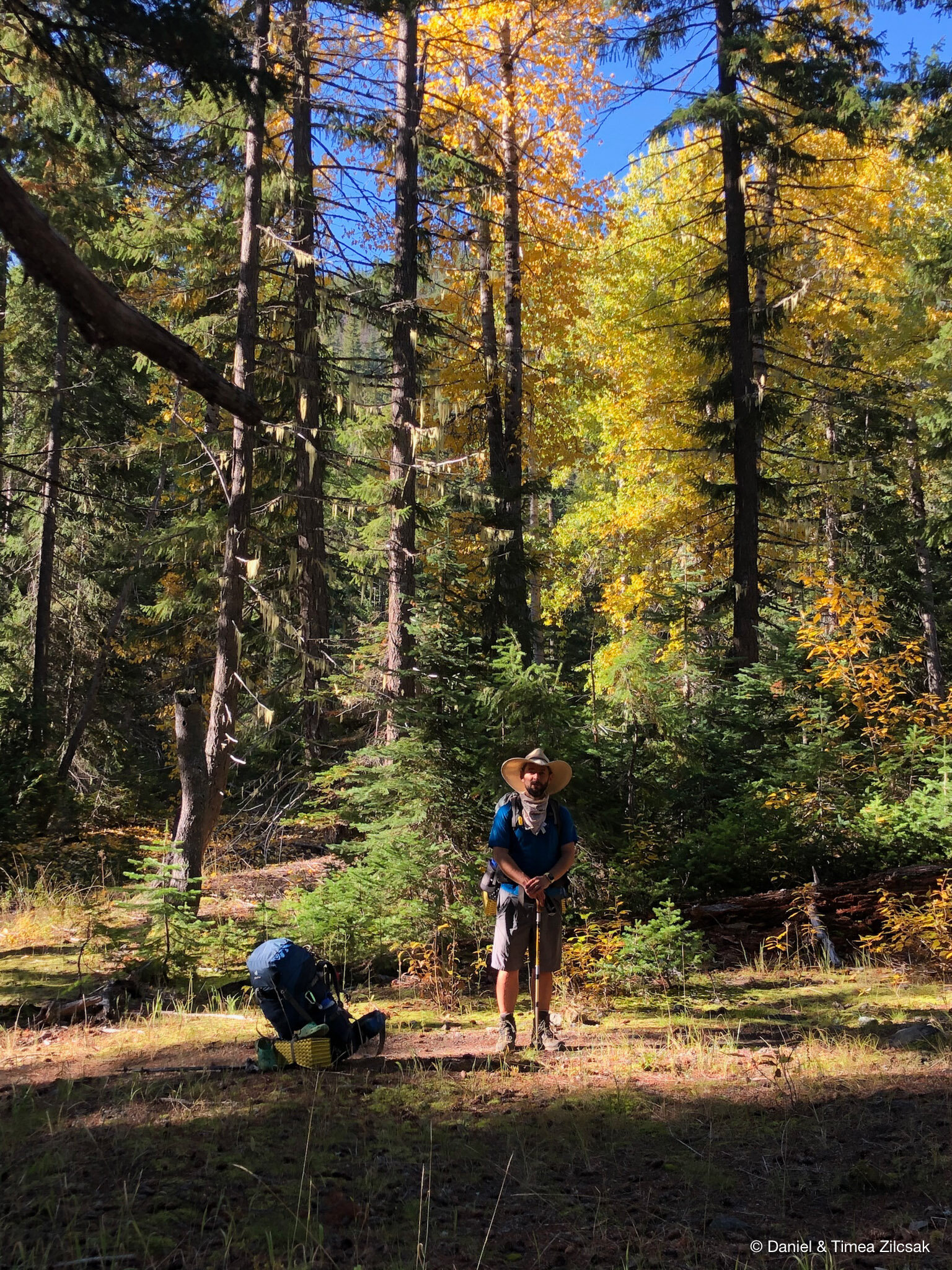
On our first day, we drove from Seattle to the trailhead at Trinity with a short stop to drop one of the cars at the Little Giant Trailhead just a few miles down the road from Trinity. Here the hike starts on an easy incline through an old forest and then through some very scenic burn area. Here is where we stopped for lunch.
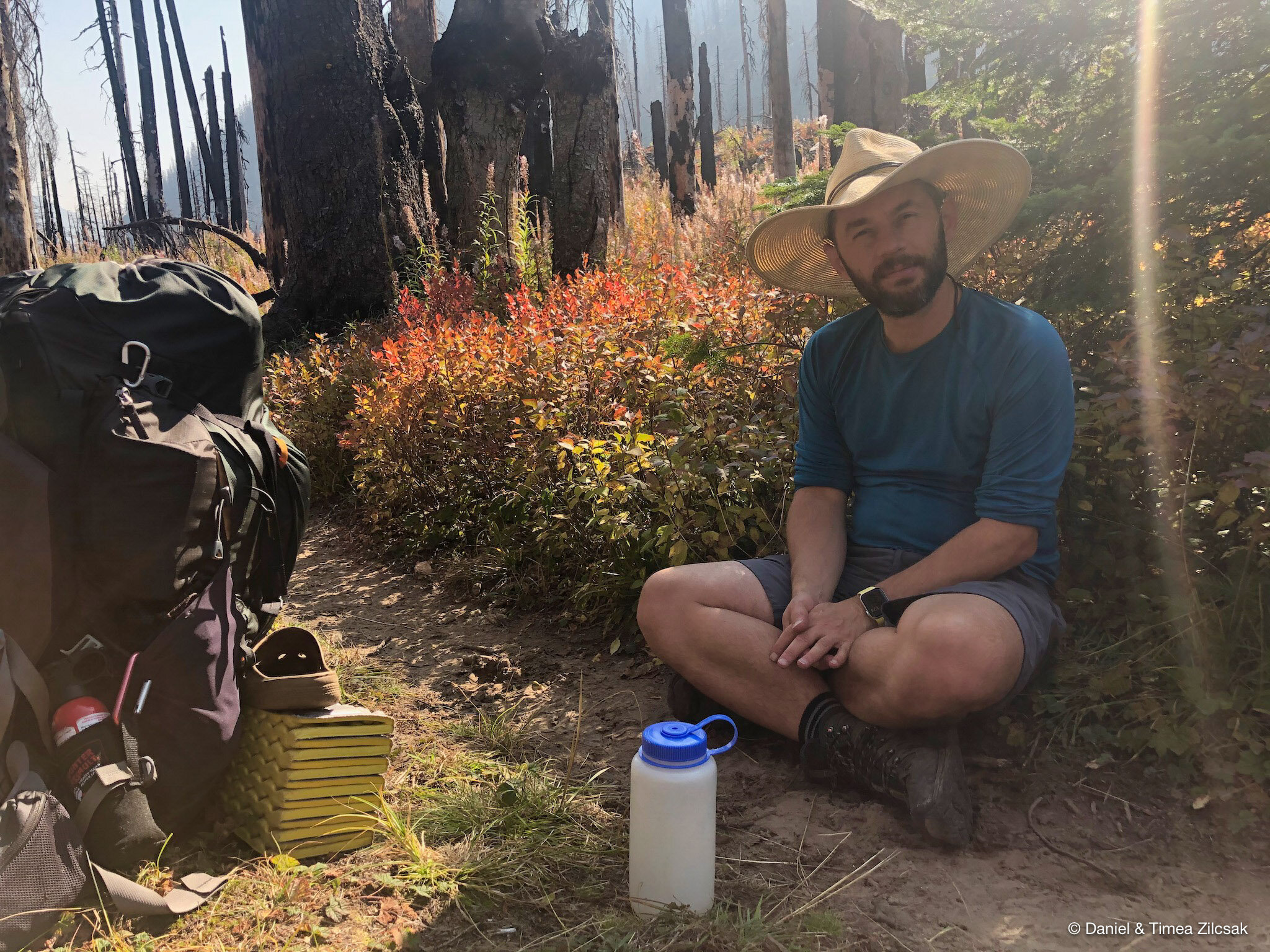
Our first day hike was long, but with the great weather and the beautiful autumn scenery, the 10 miles went by quickly. We didn’t know if the water was still flowing at Buck Creek Pass, so we decided to carry our water from about 1 mile below the Pass, near the junction to Pass No Pass trail/camp.

Buck Creek on our way to Buck Creek Pass
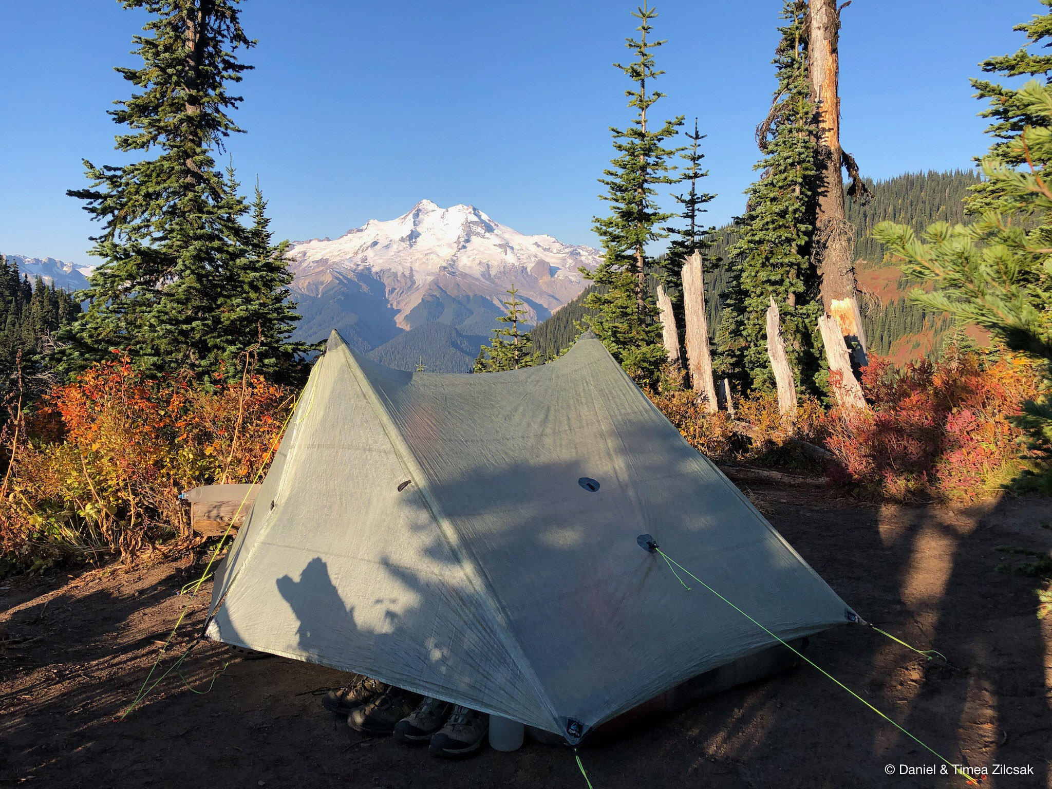
With heavier packs, our pace slowed down, but we soon arrived at Buck Creek Pass and realized we will be the only group in camp that night. The views of Glacier Peak right from the tent were spectacular, while the surrounding red fiery autumn colors were lovely. As a side note, we found the following day that, water was indeed still flowing at Buck Creek Pass. It was just a few hundred yards down towards High Pass, close to the horse camp.
Day 2: Buck Creek Pass to Napeequa Valley via High Pass
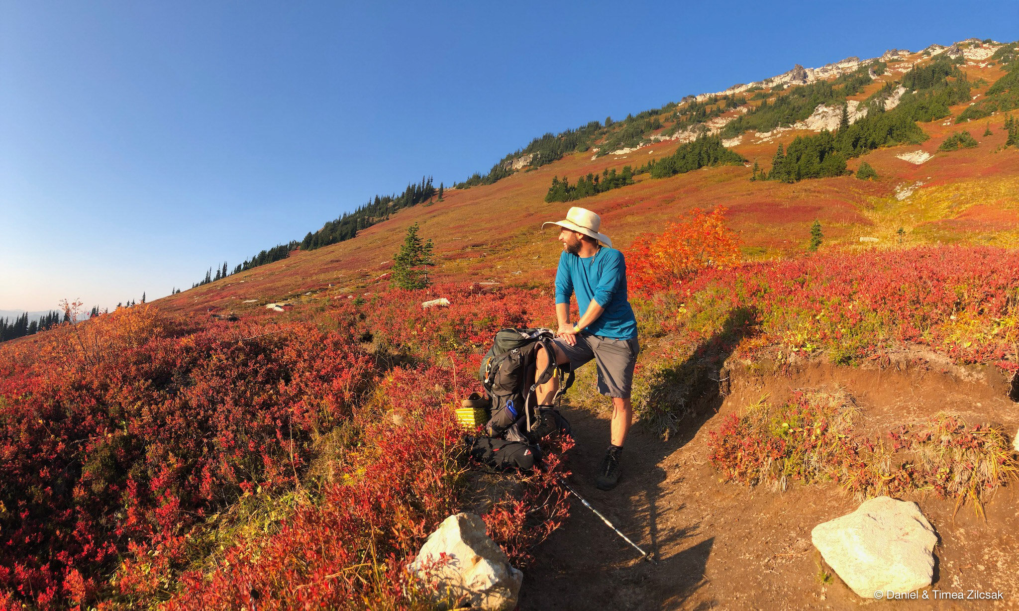
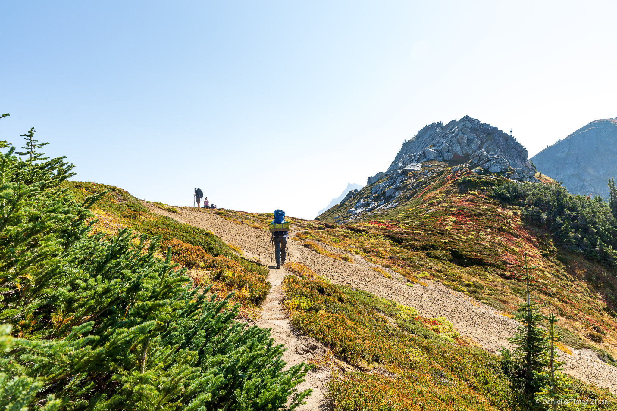
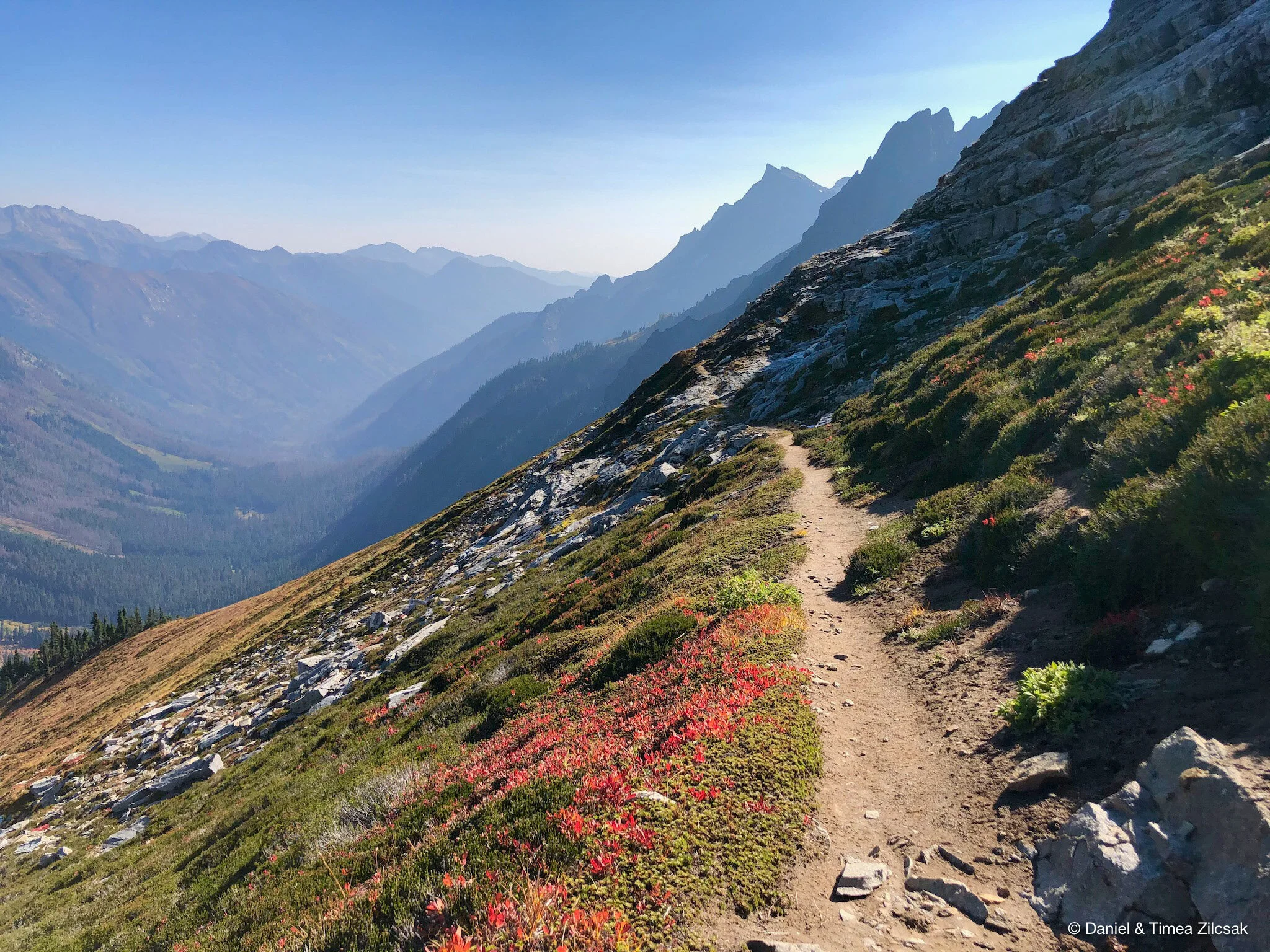
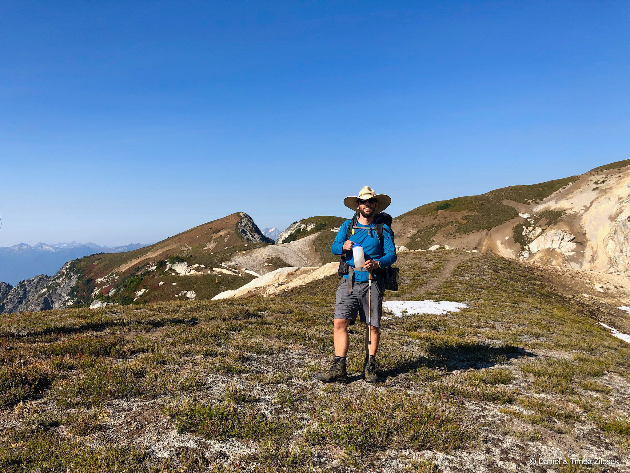
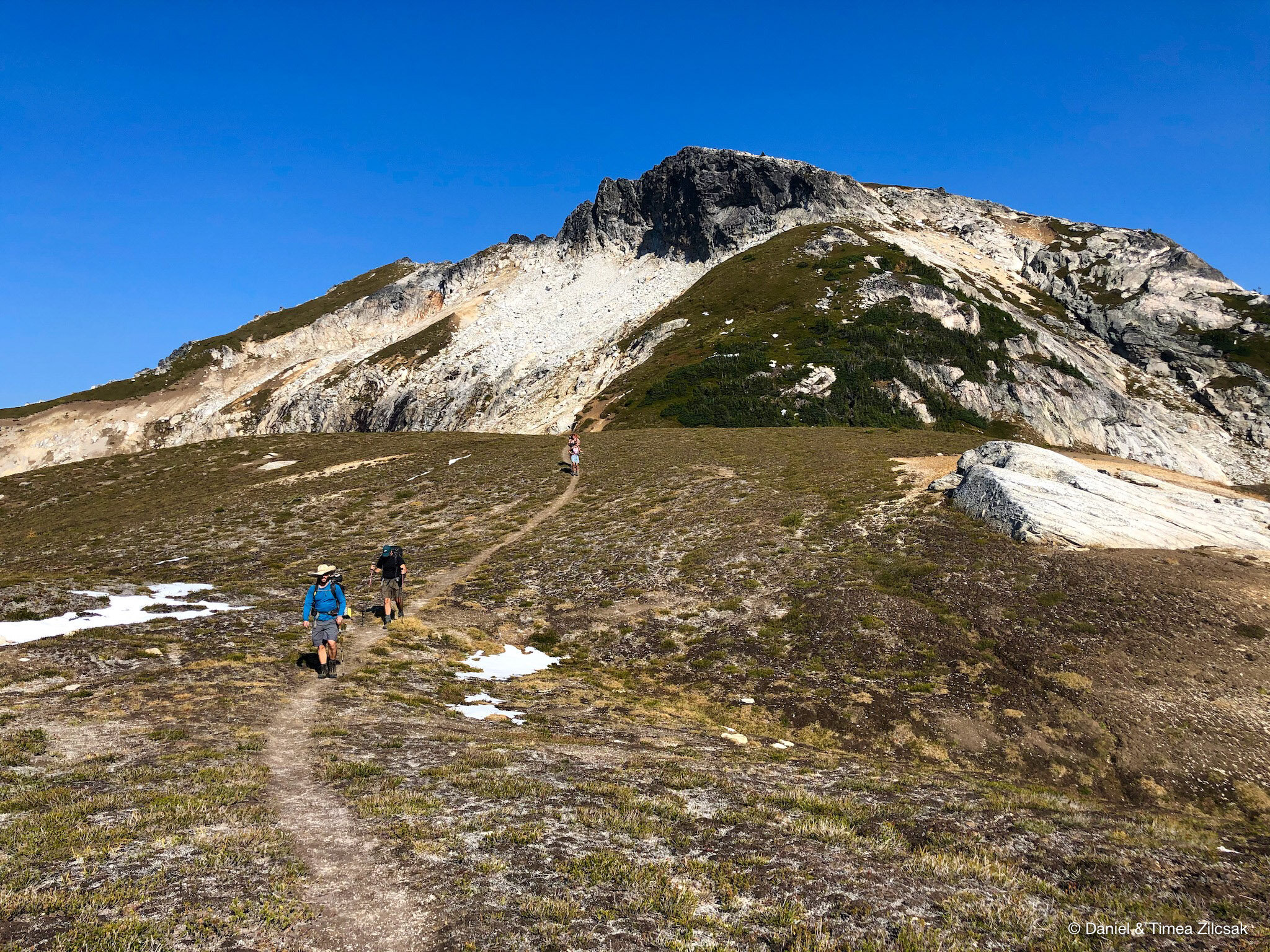
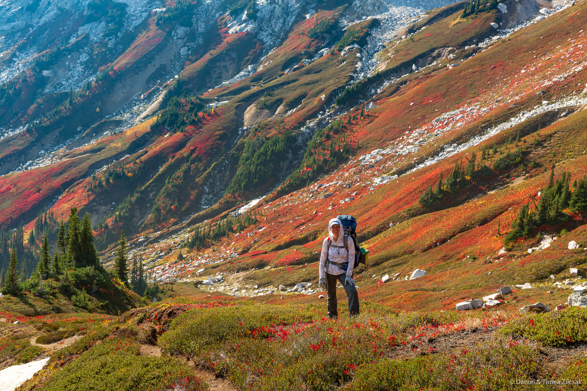
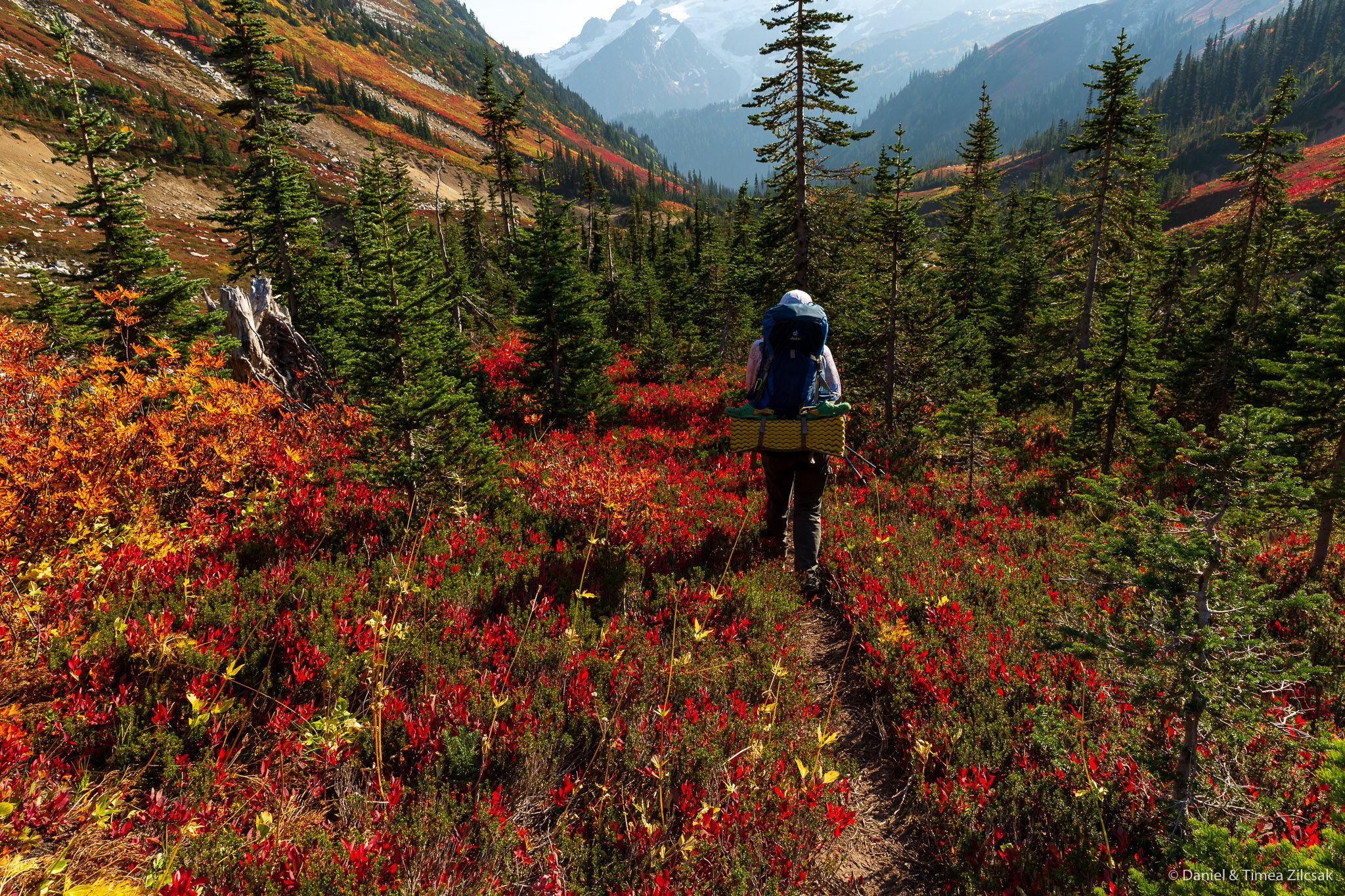
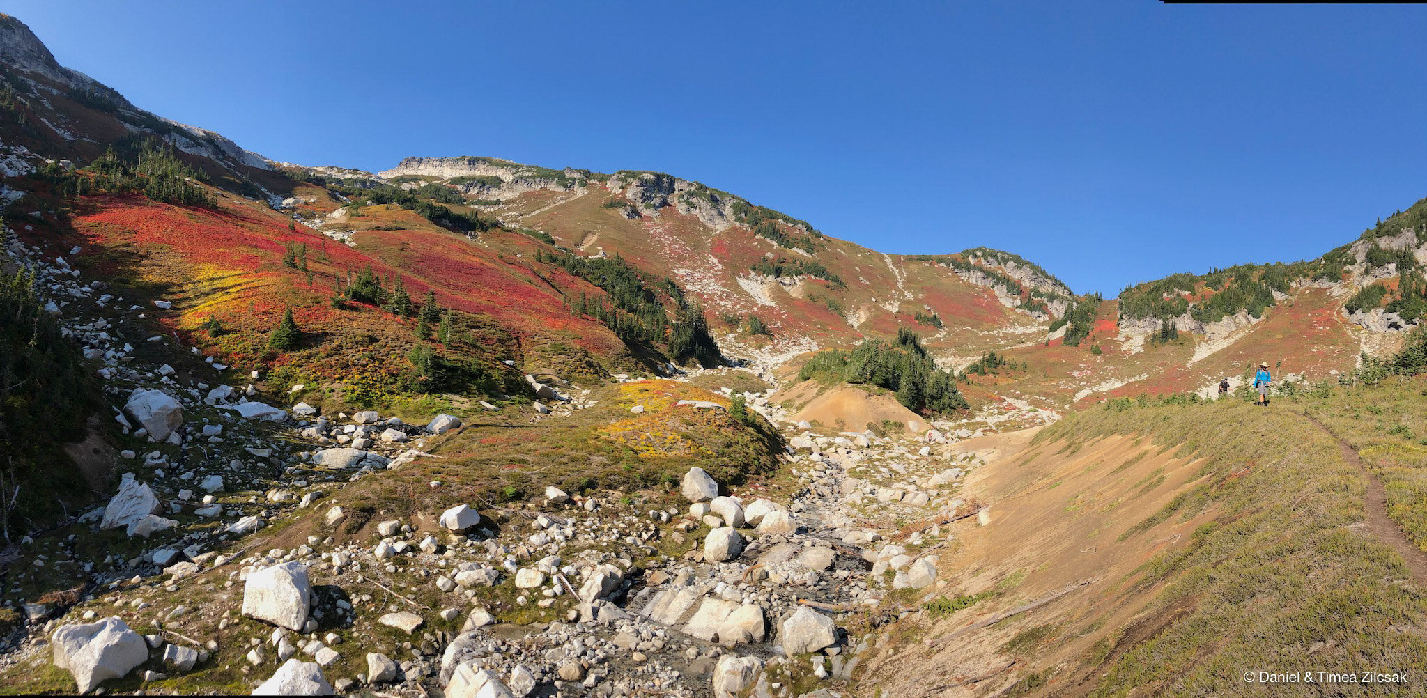
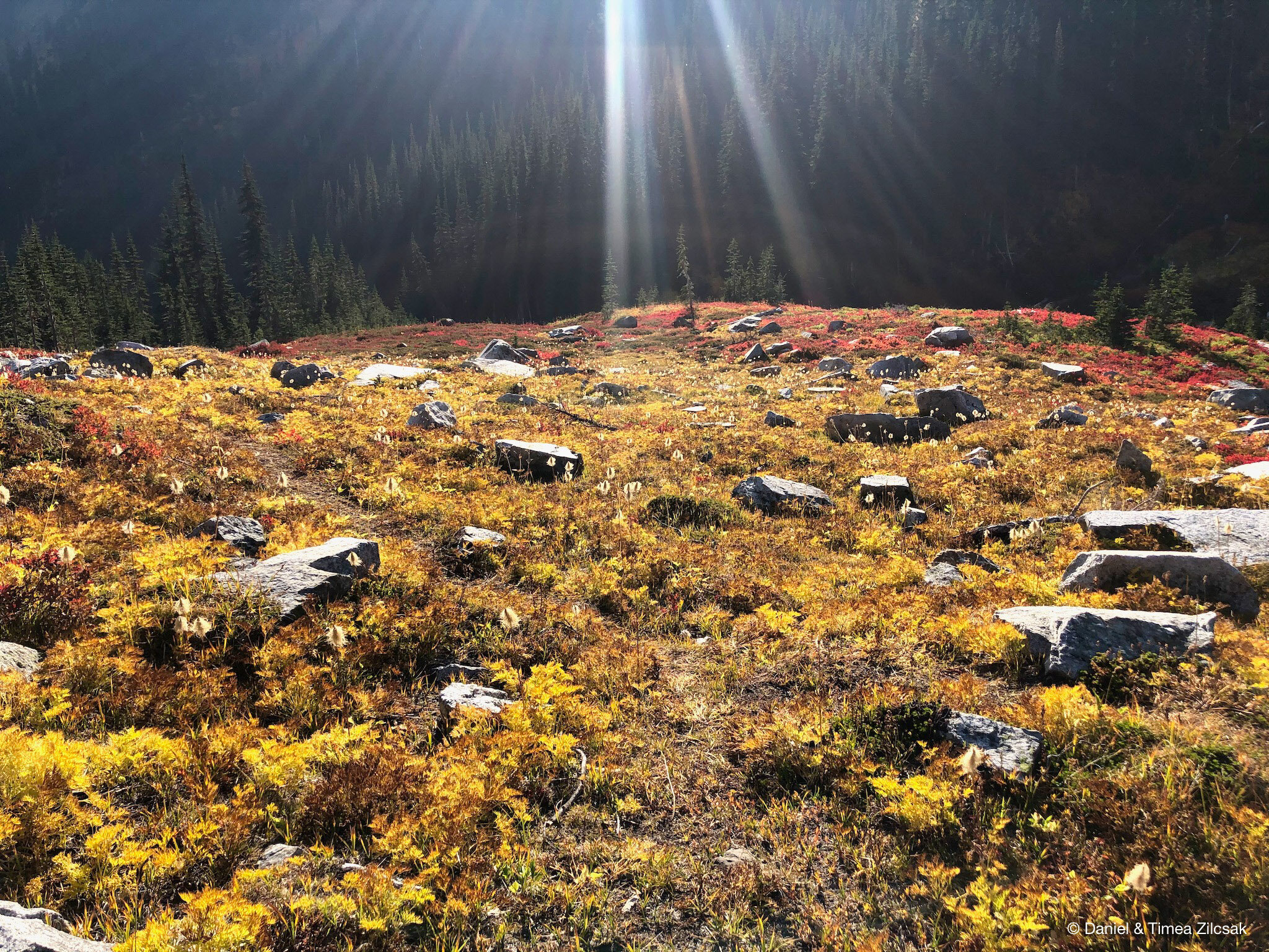
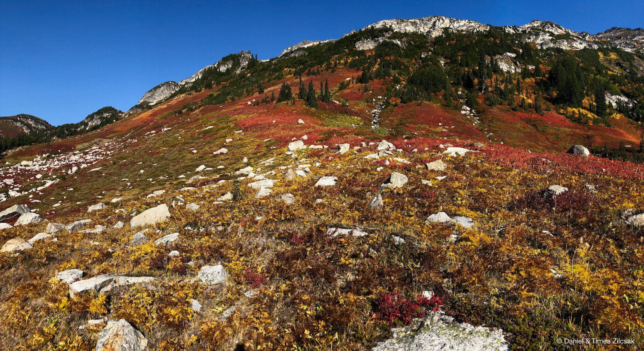
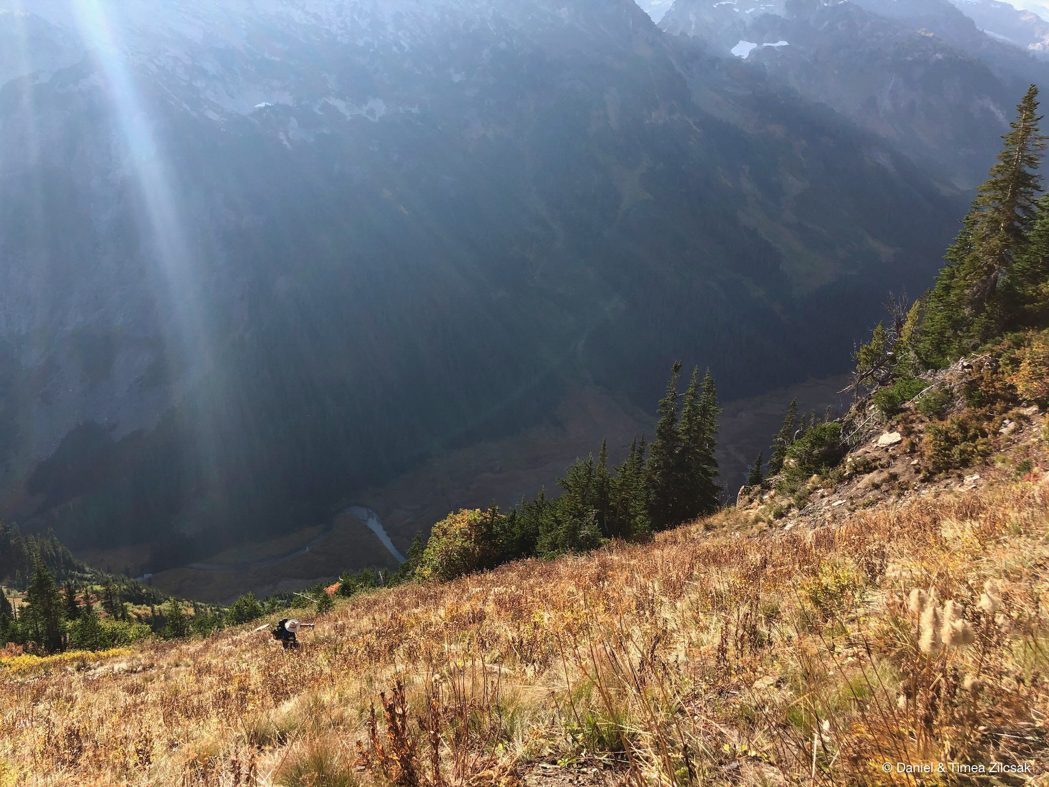
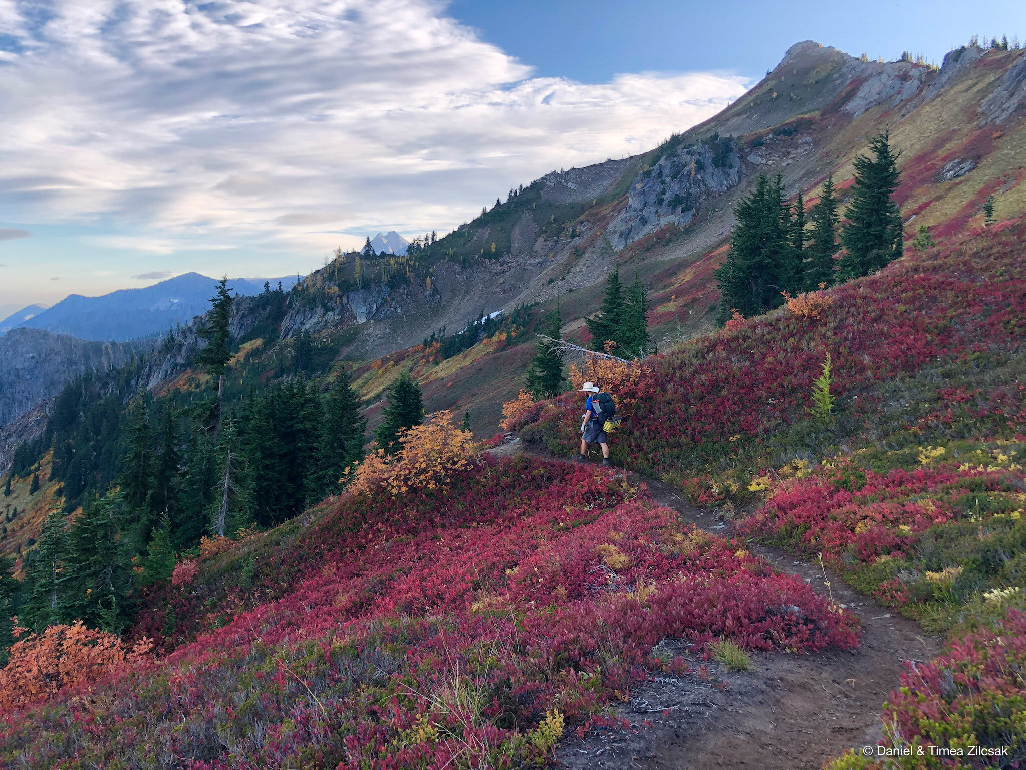
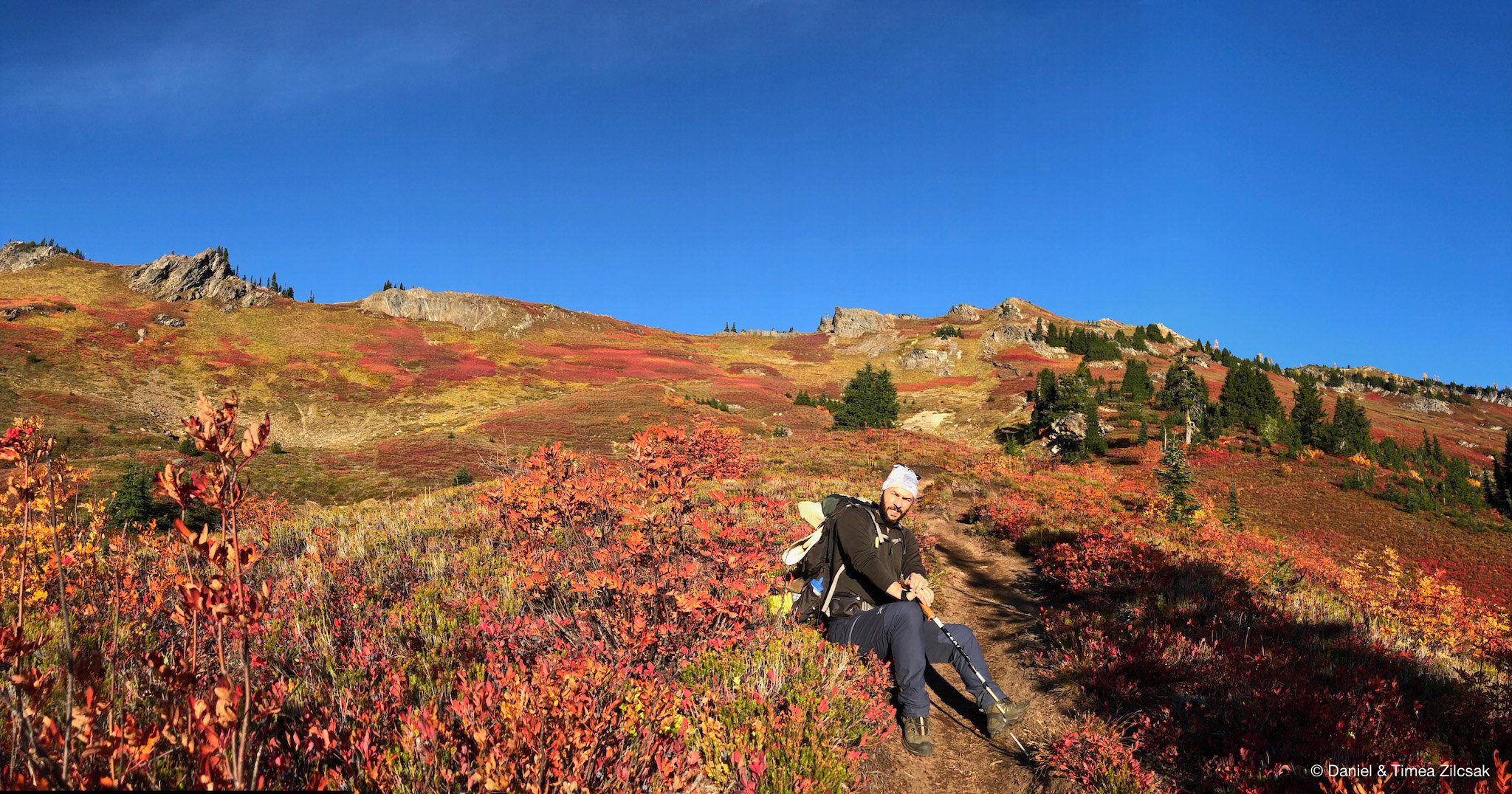
For our second day, we decided to take it slow and enjoy every corner and feel every step we take and listen to every creature in the woods. The hike started out going down a bit towards the horse camps and then through a very peaceful meadow up on a few switchbacks towards Liberty Cap. Helmet Butte and Glacier Peak looked better and better the higher we climbed.
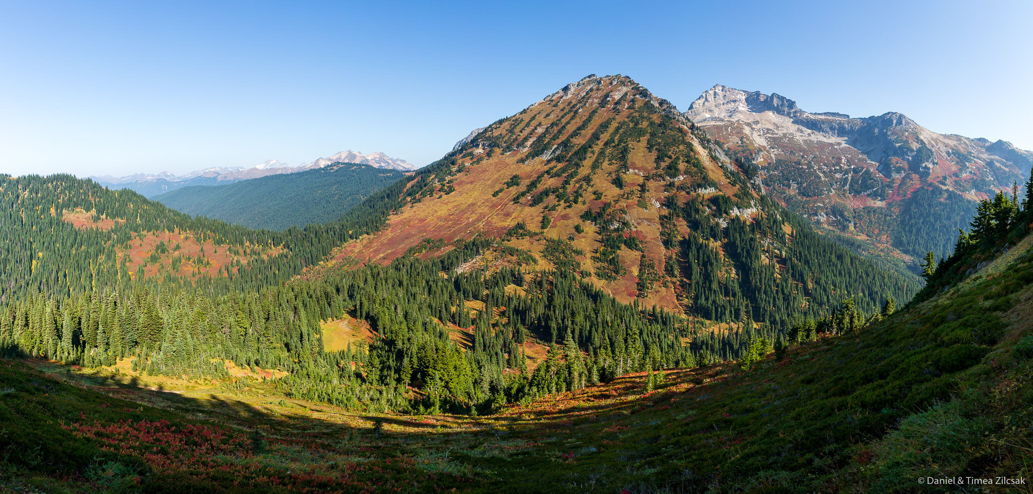
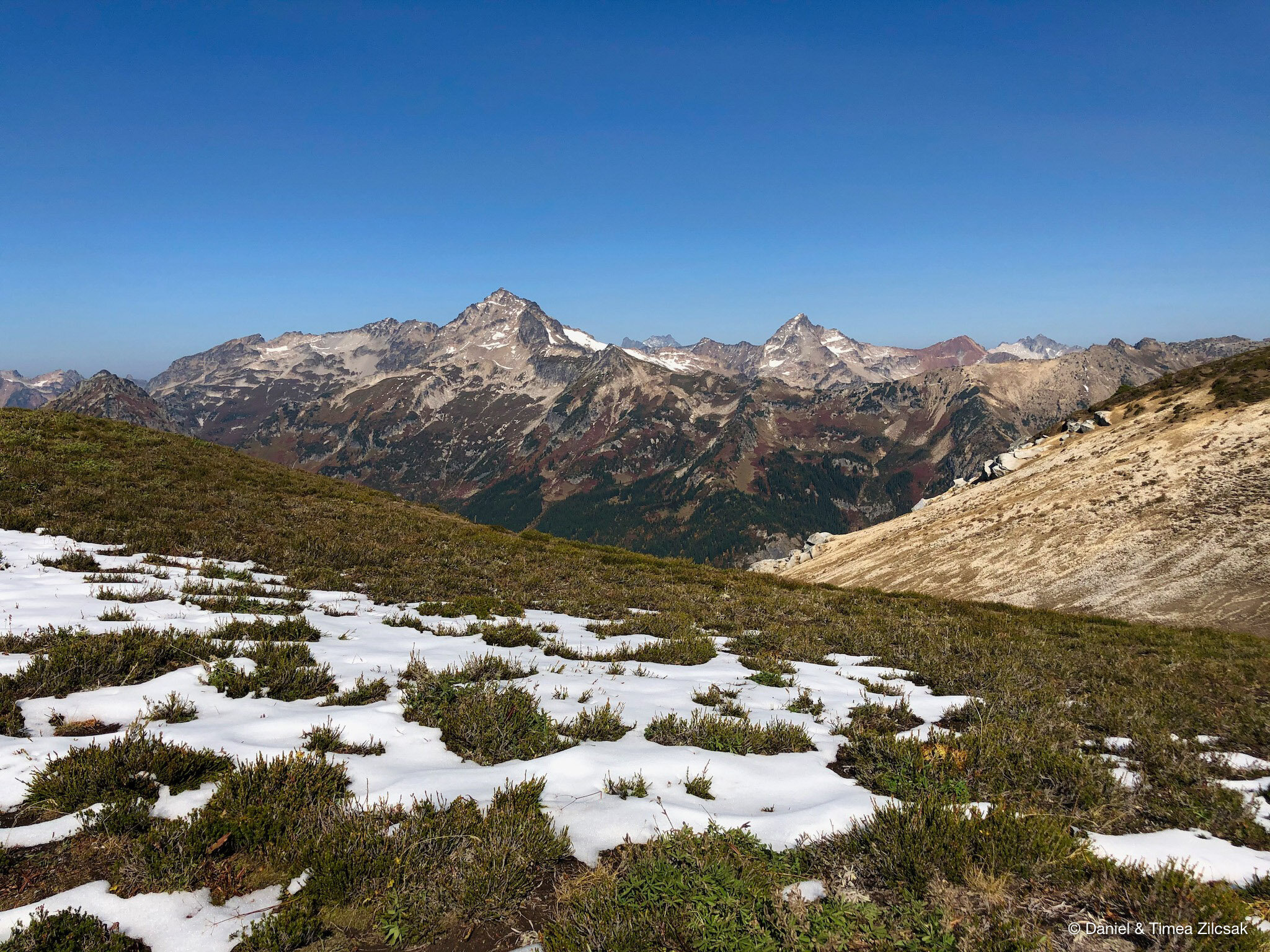
Shortly after the switchbacks, we emerged above Liberty Cap. Here was a perfect place to take a quick snack break with incredible views of the Buck Creek Valley and Buck Mountain along with other unnamed but beautiful peaks.
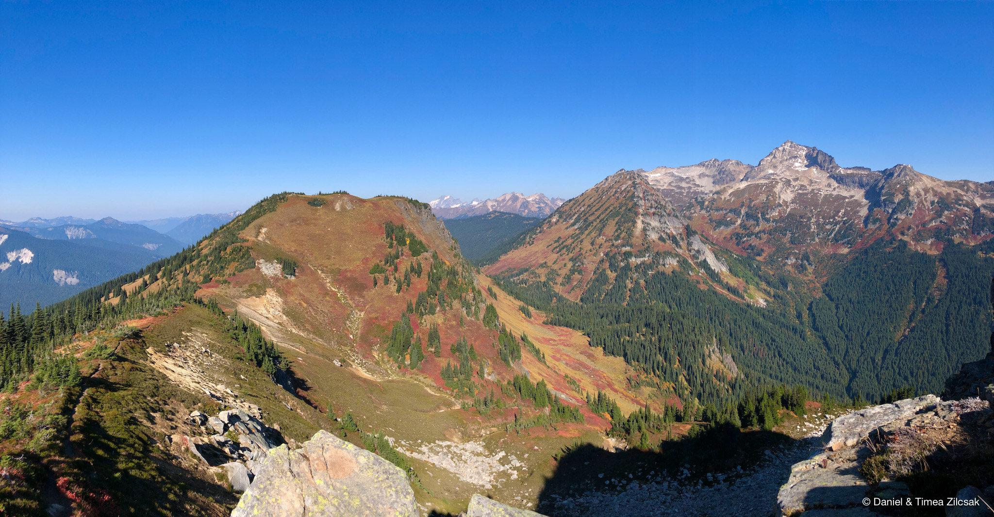
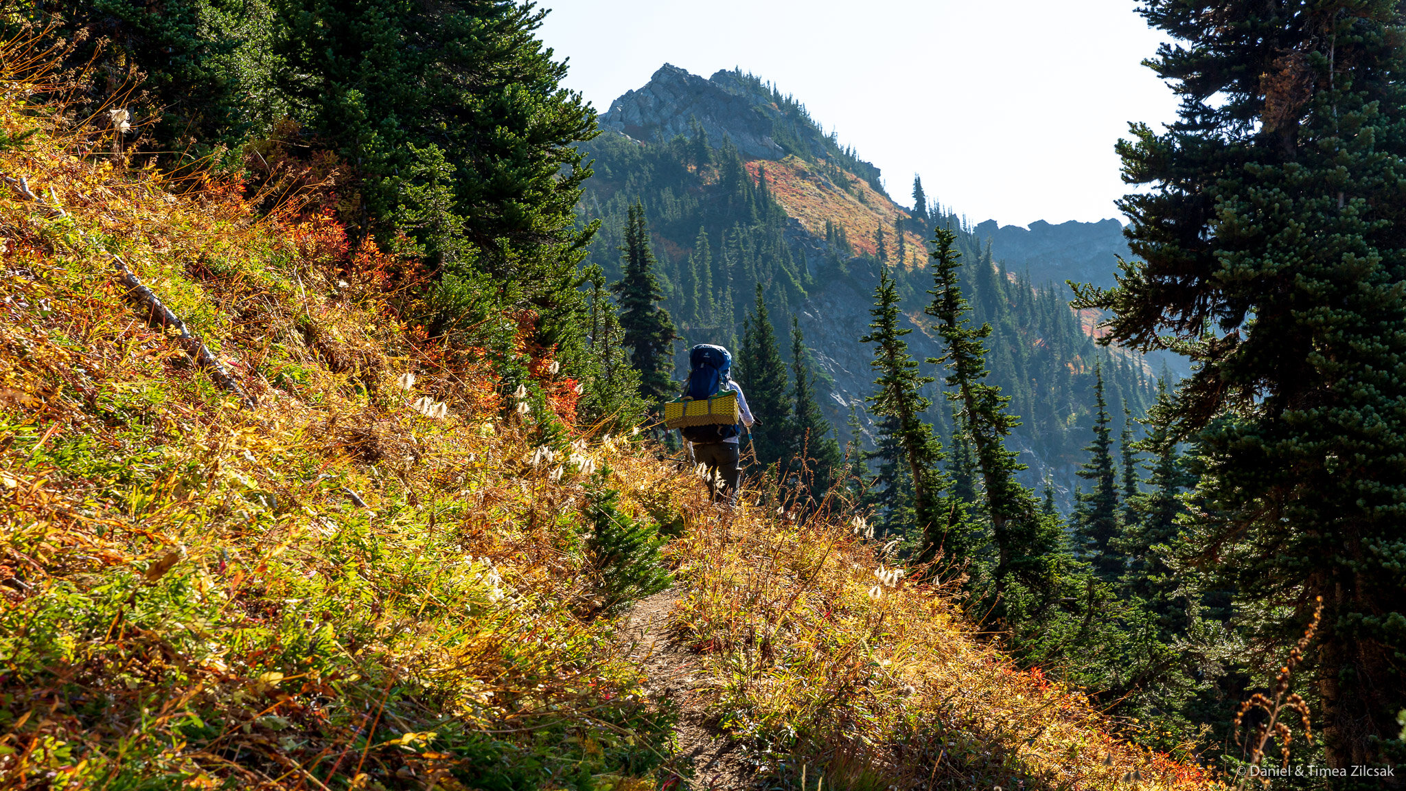
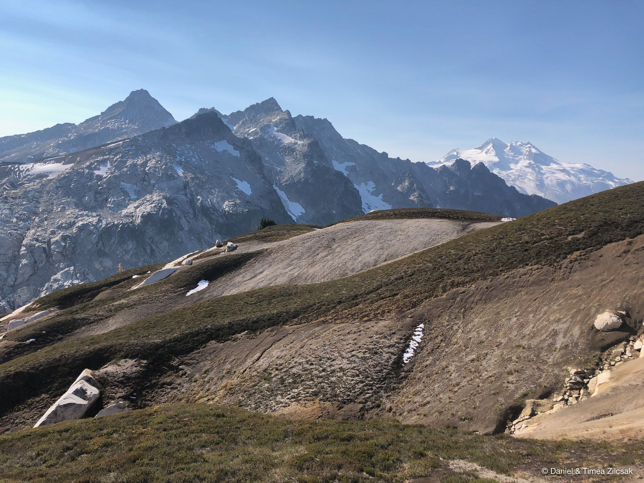
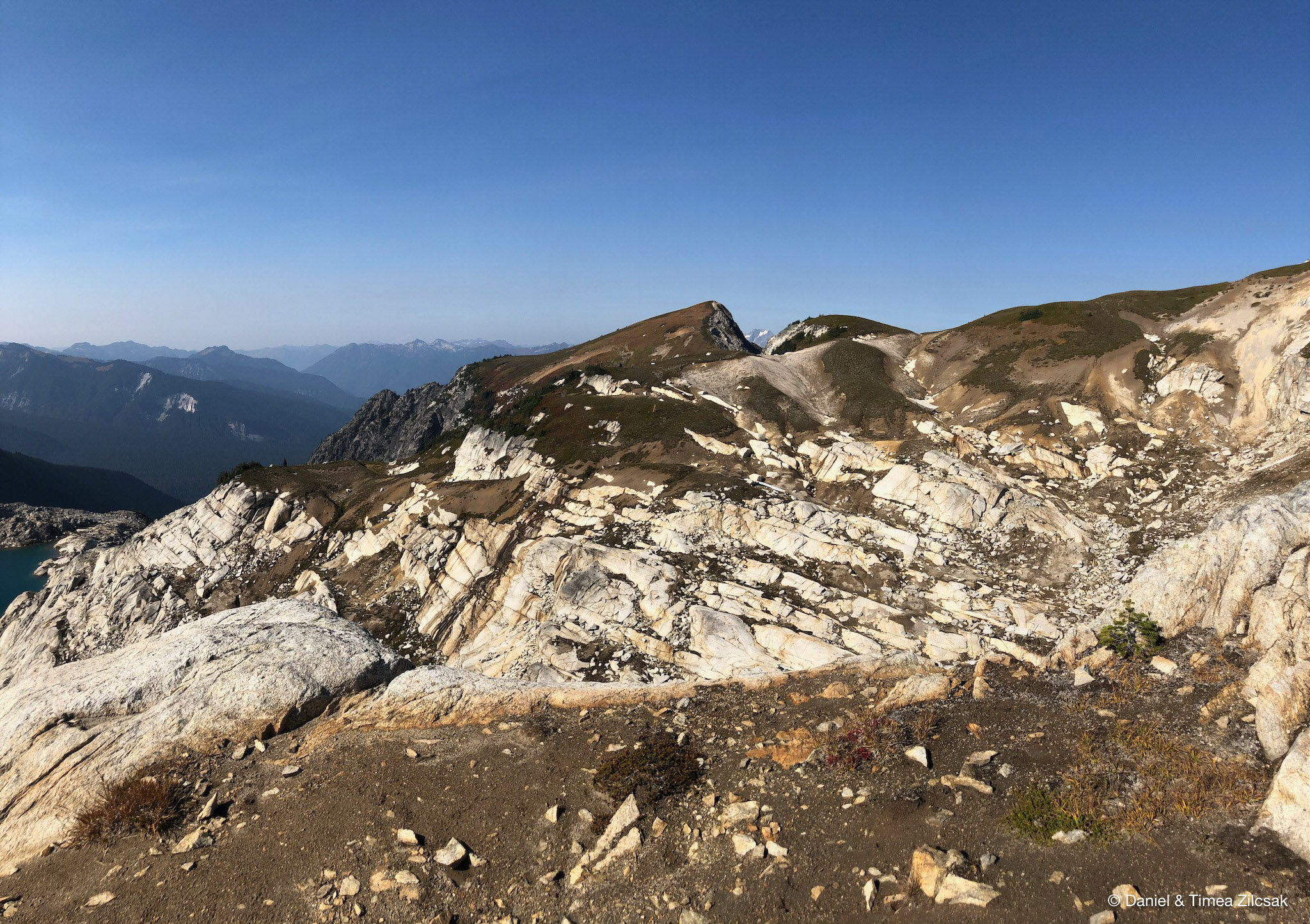
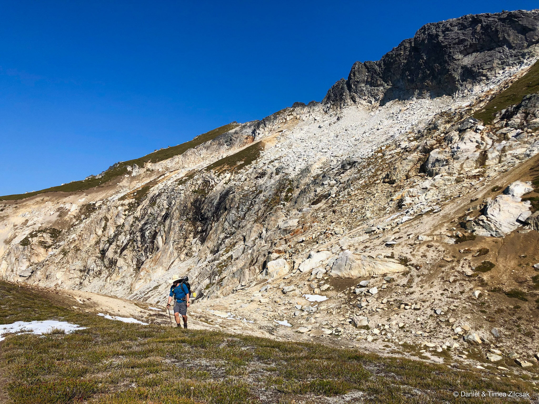
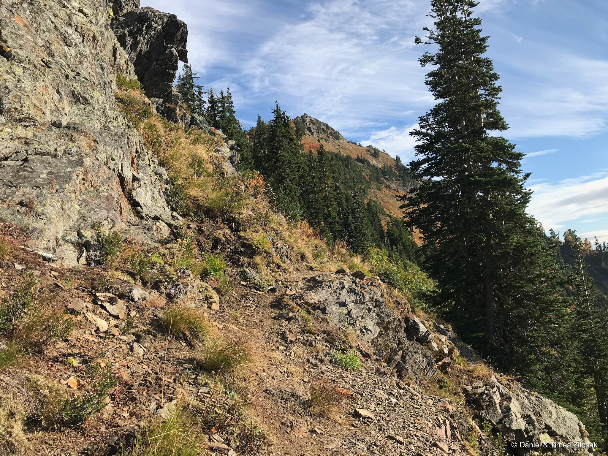
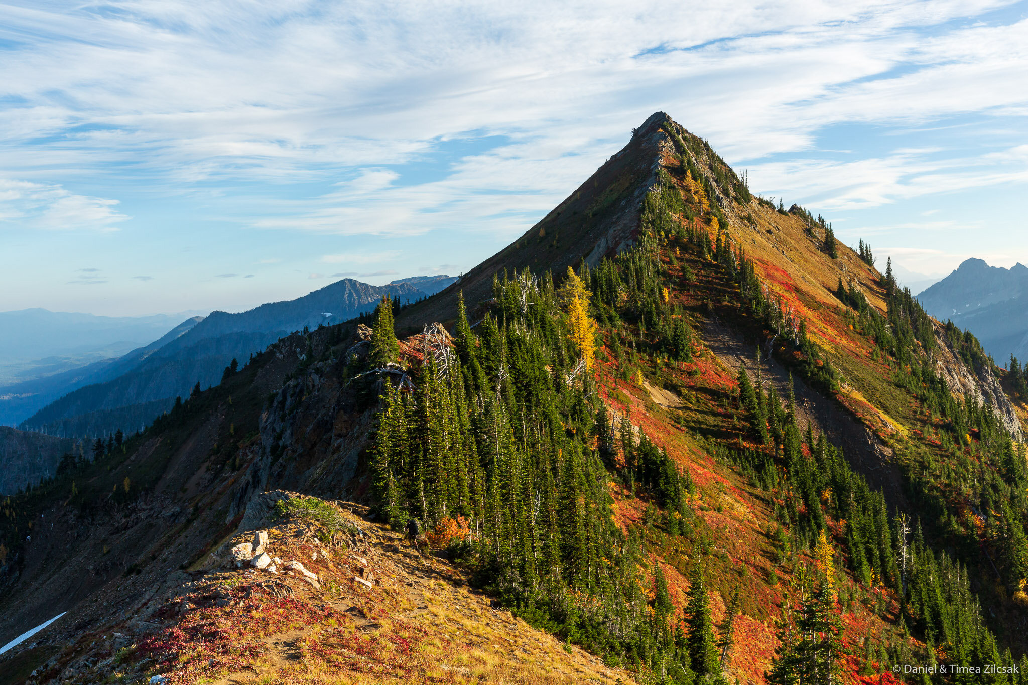
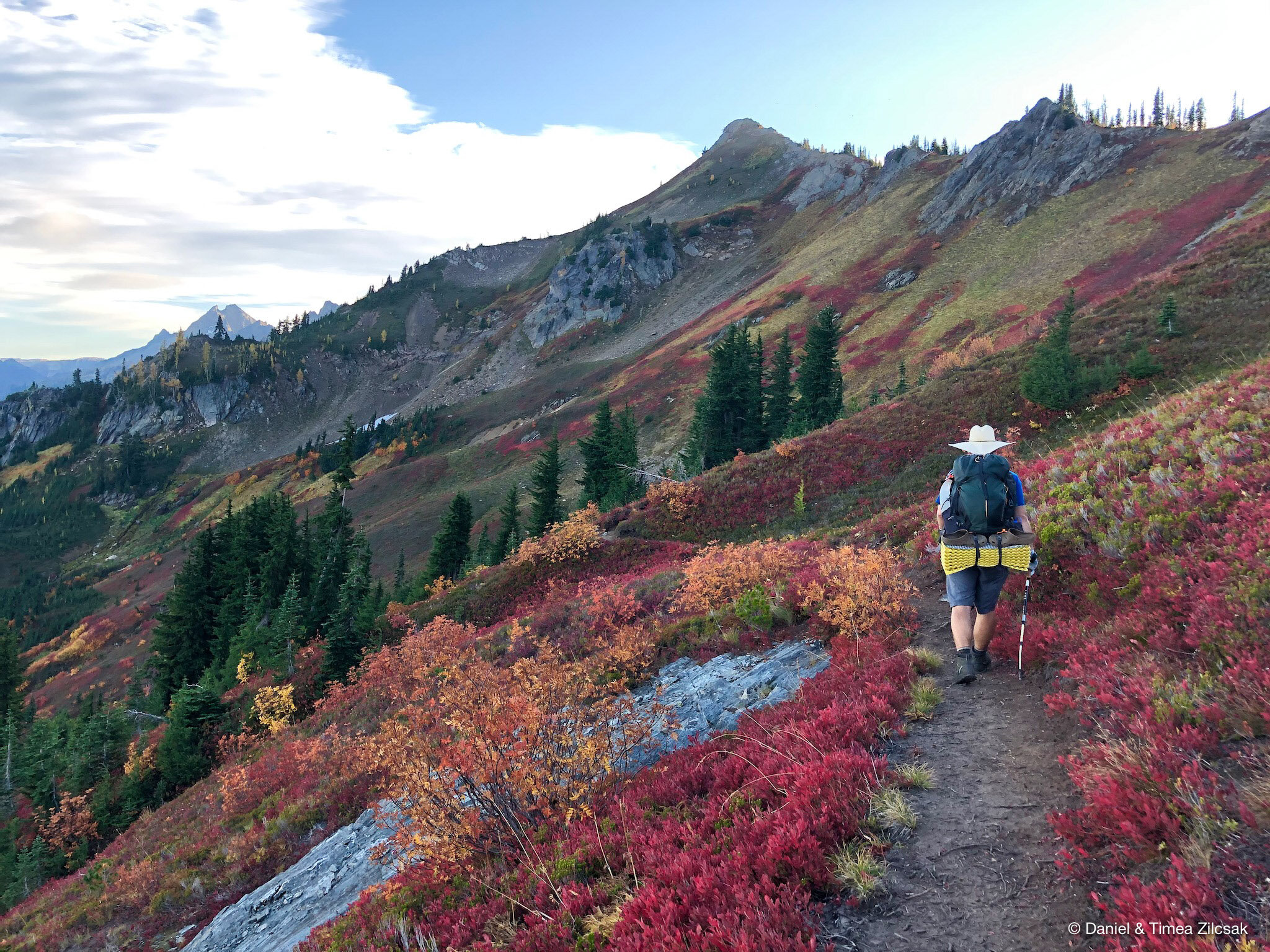
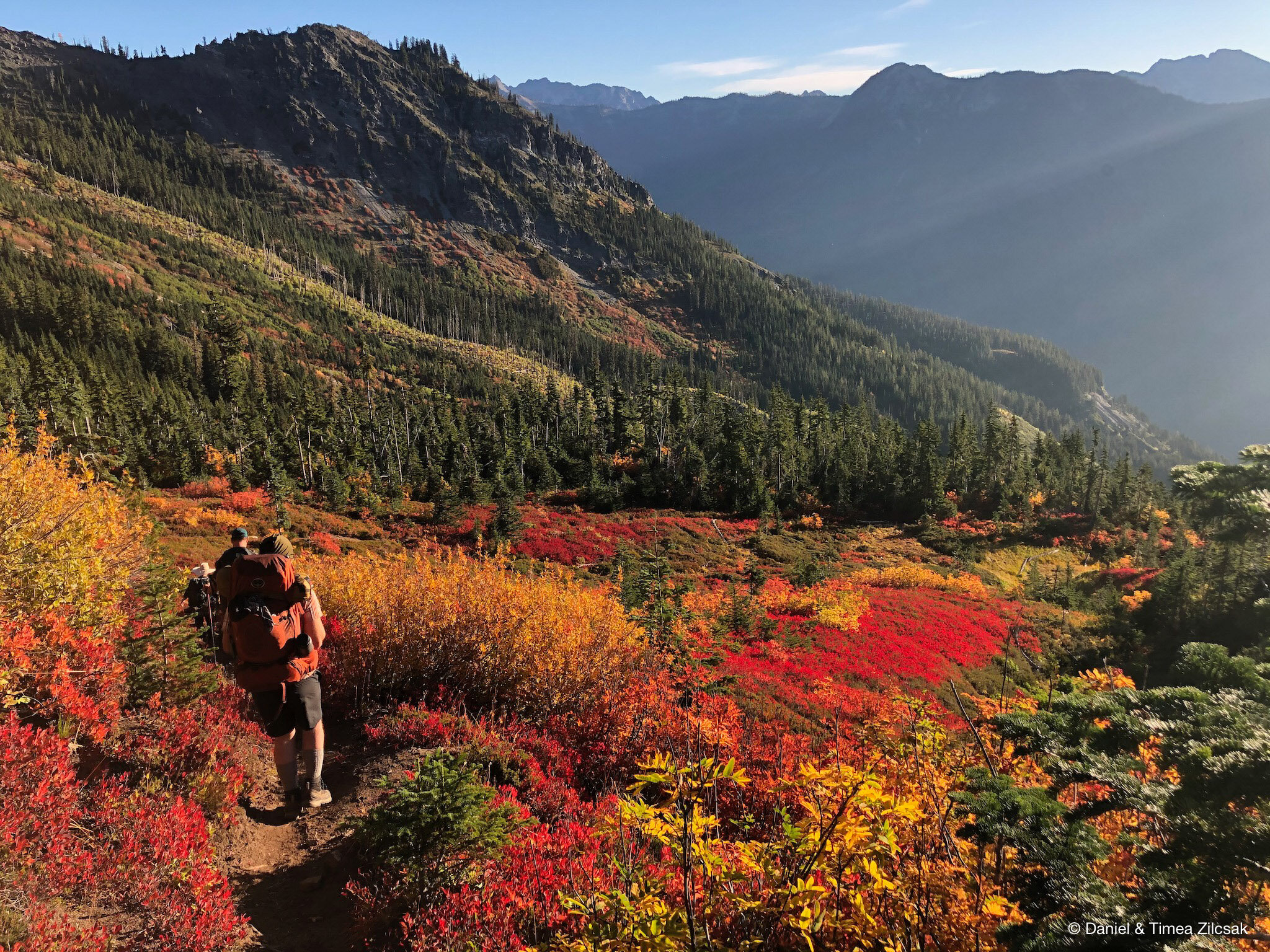
From here we followed the trail that traverses the mountainsides. While preparing for the trip, we read reports that this area may encourage the use of crampons and ice axes in early summer conditions. This is something we would have considered if doing it earlier in the season, but in October, there is nothing dangerous about this traverse.
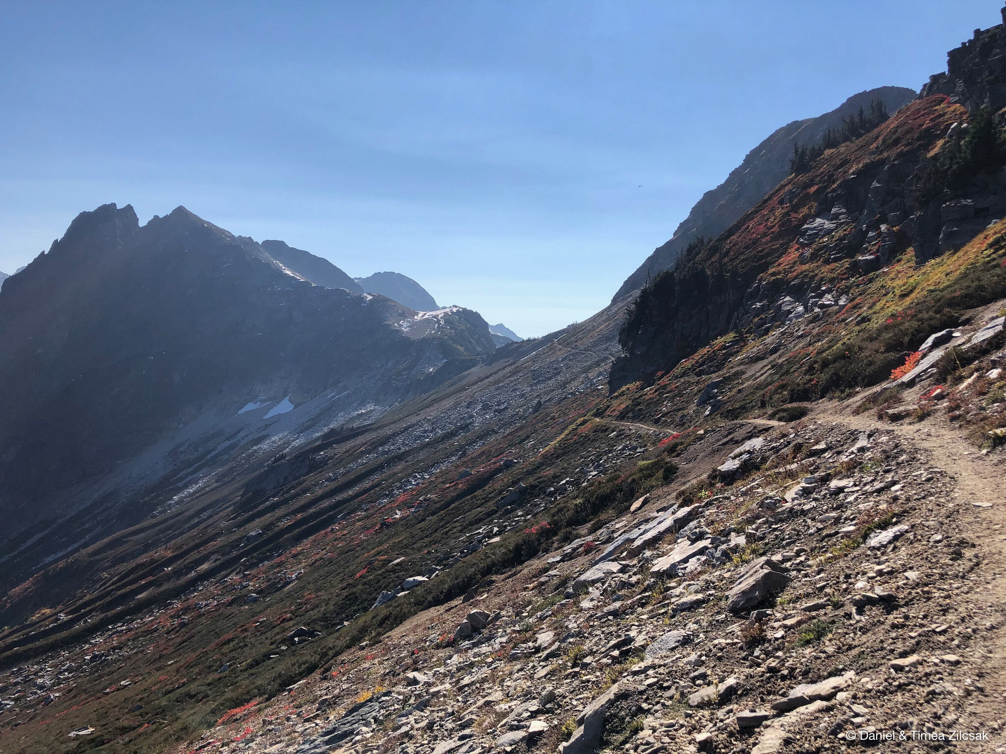
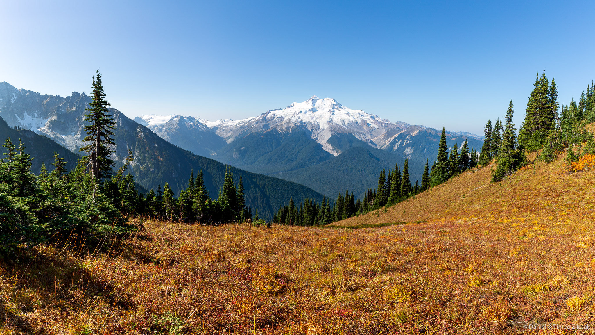
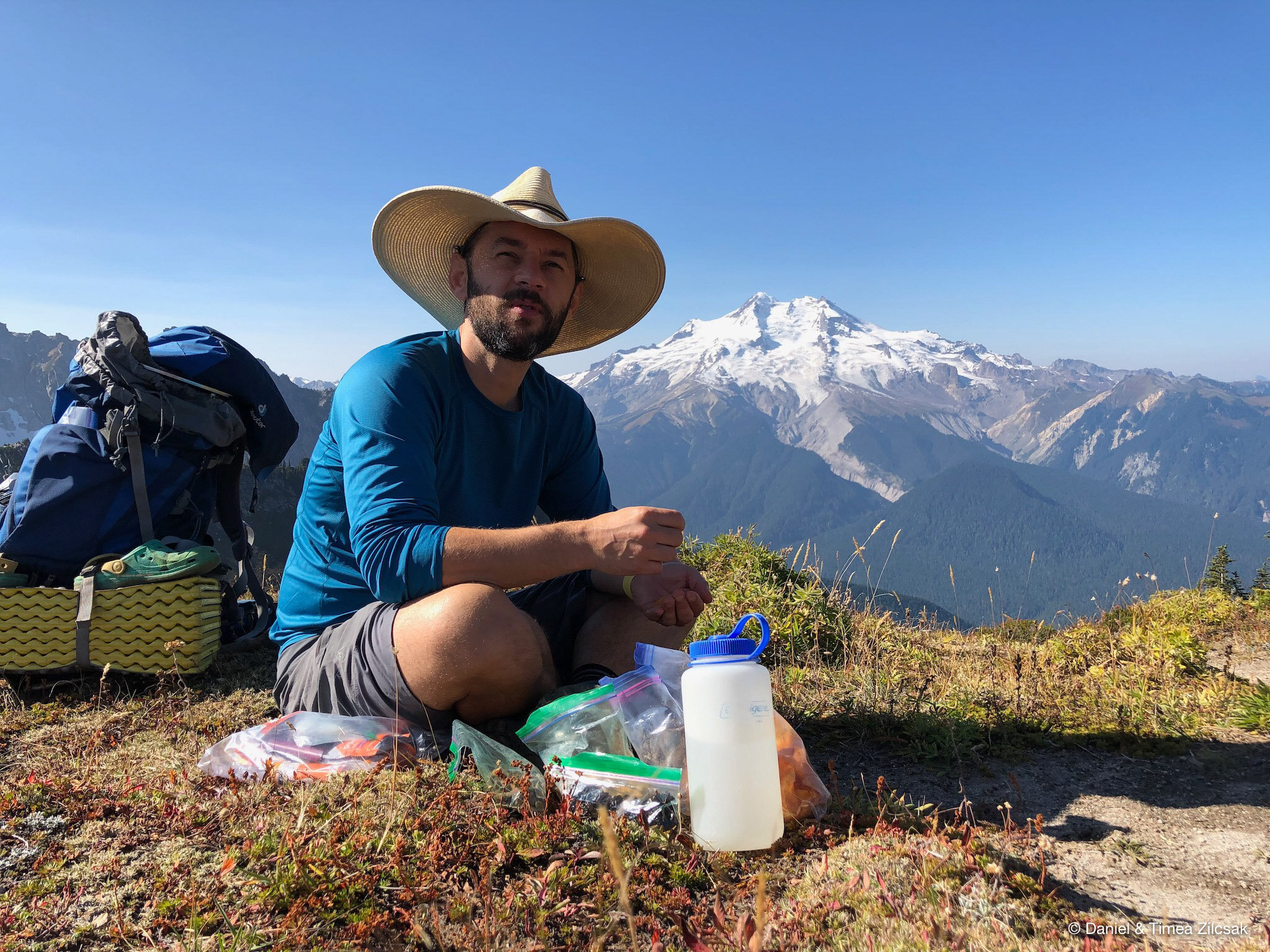
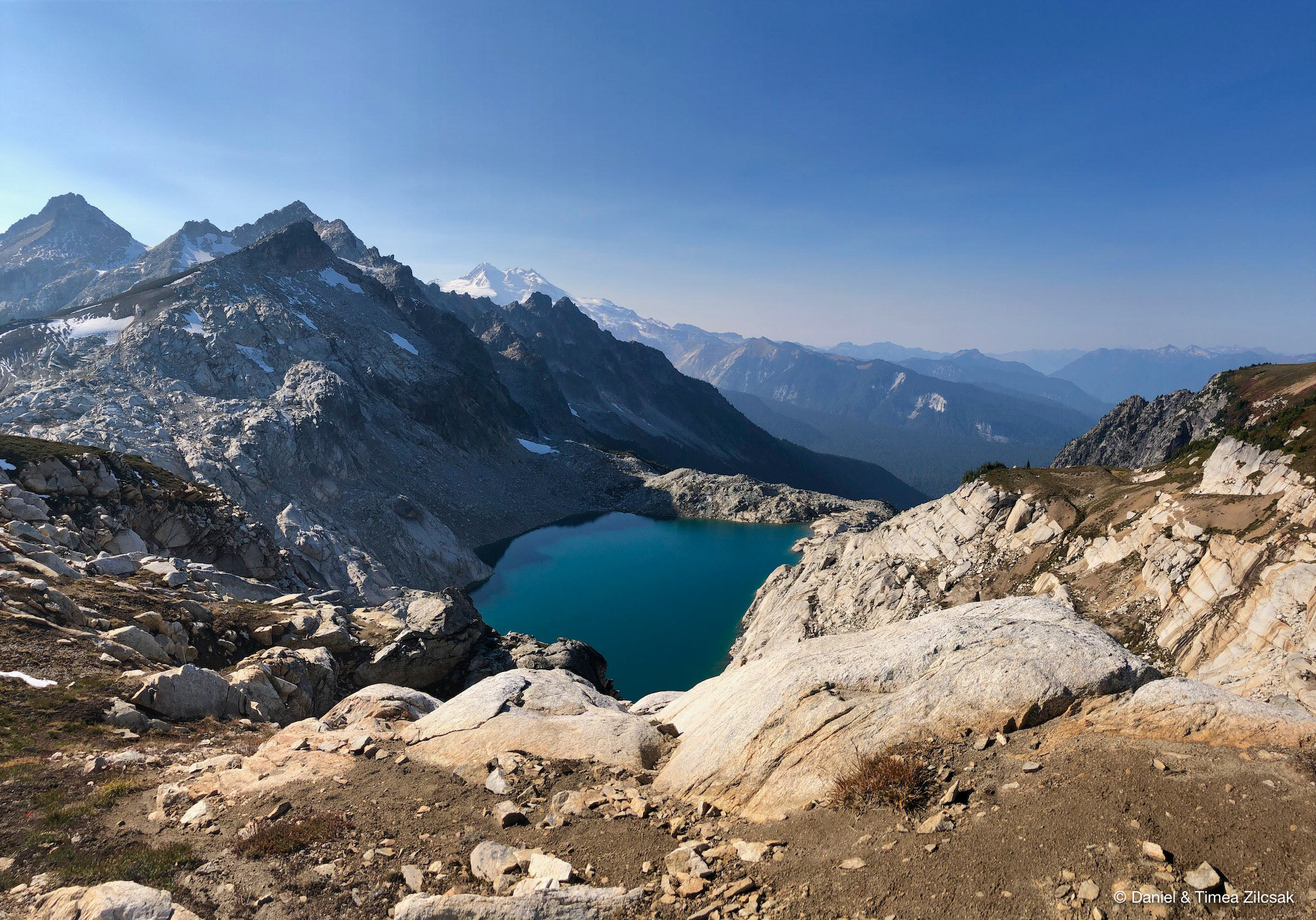
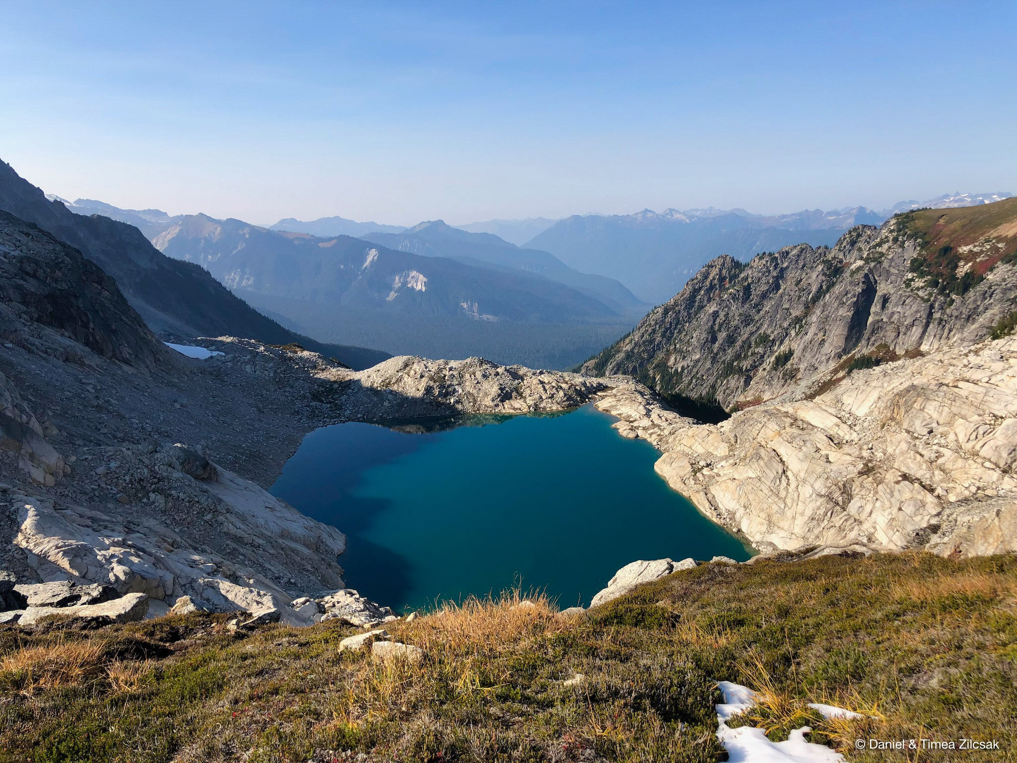
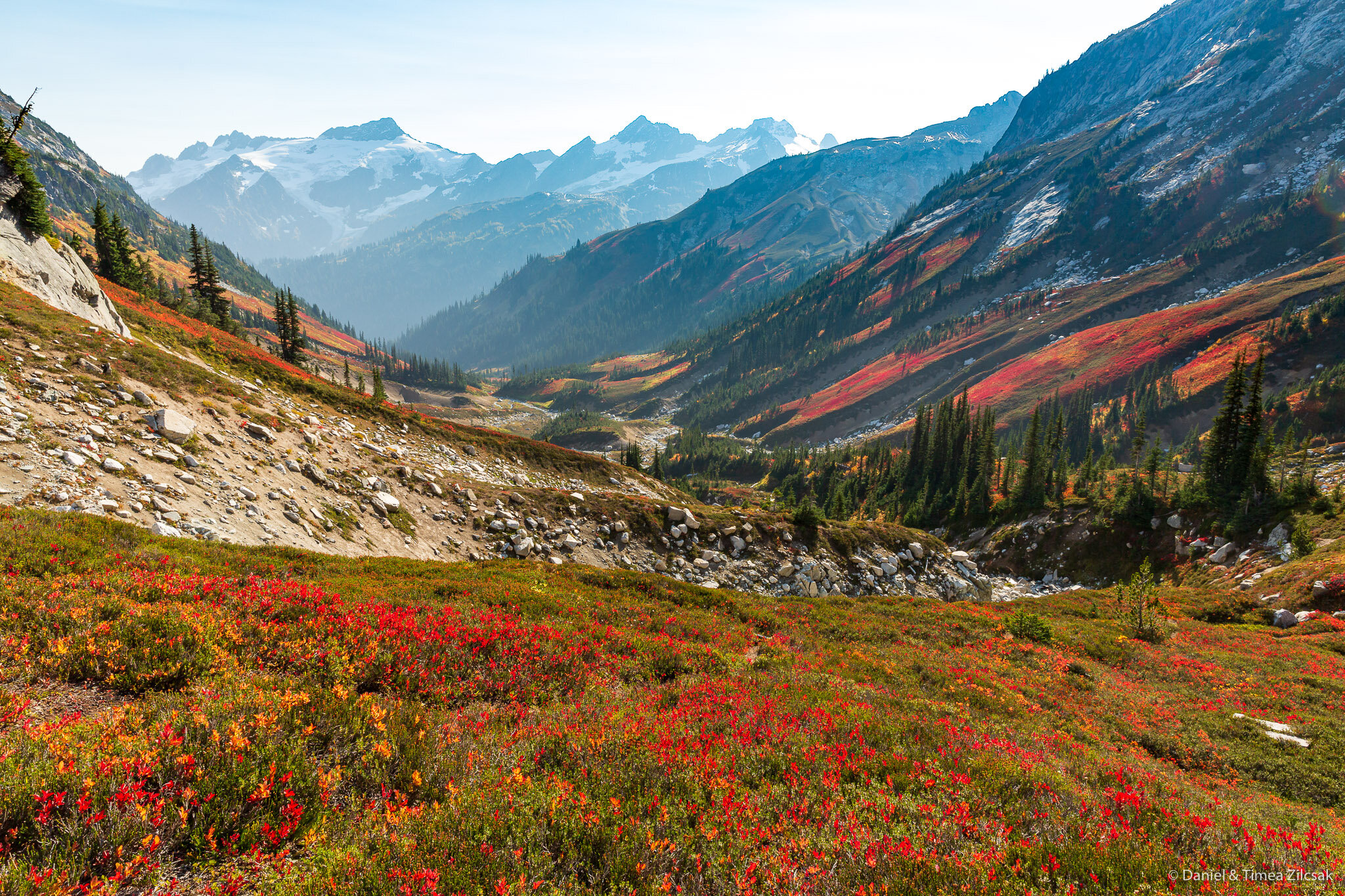
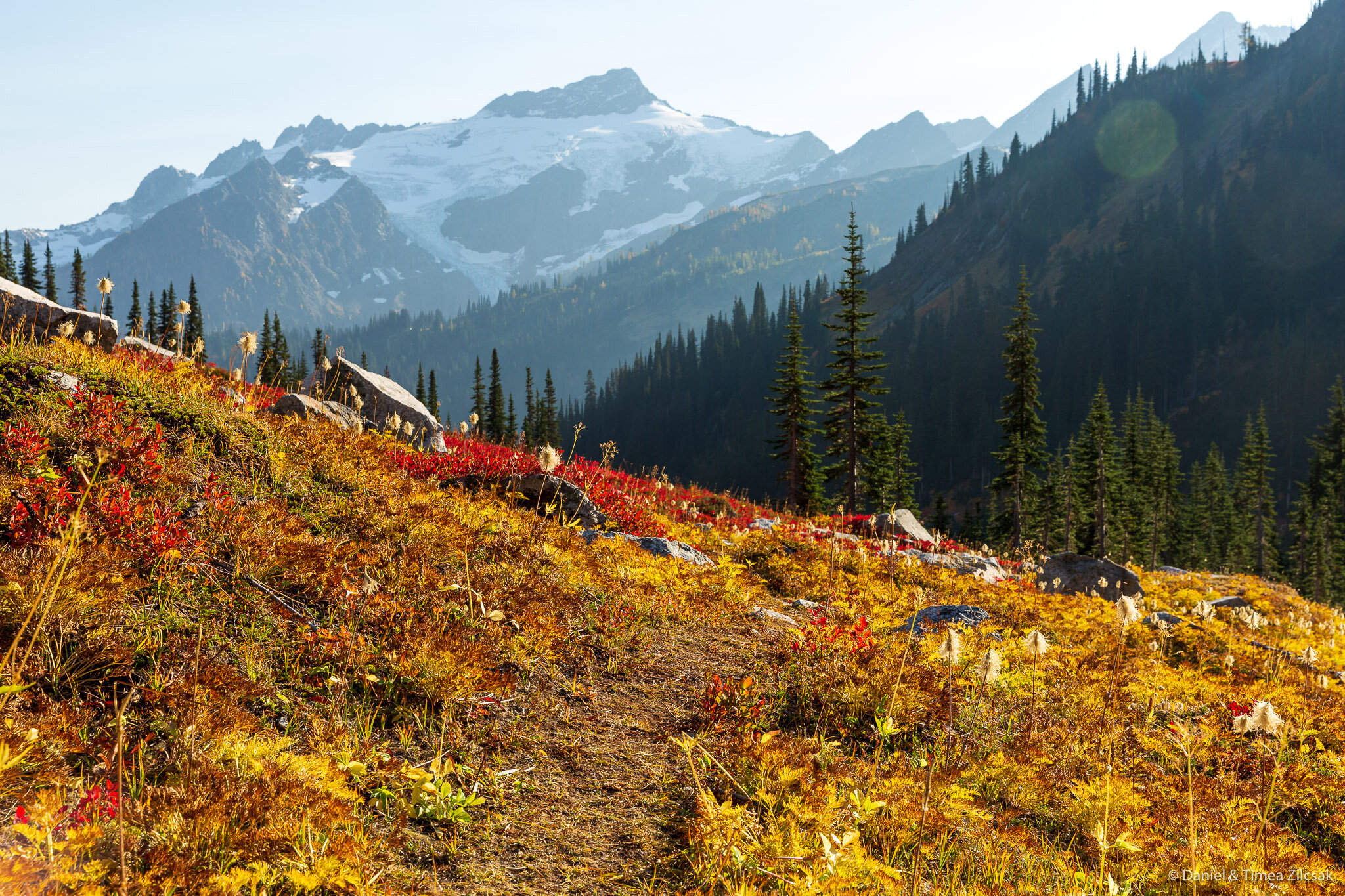
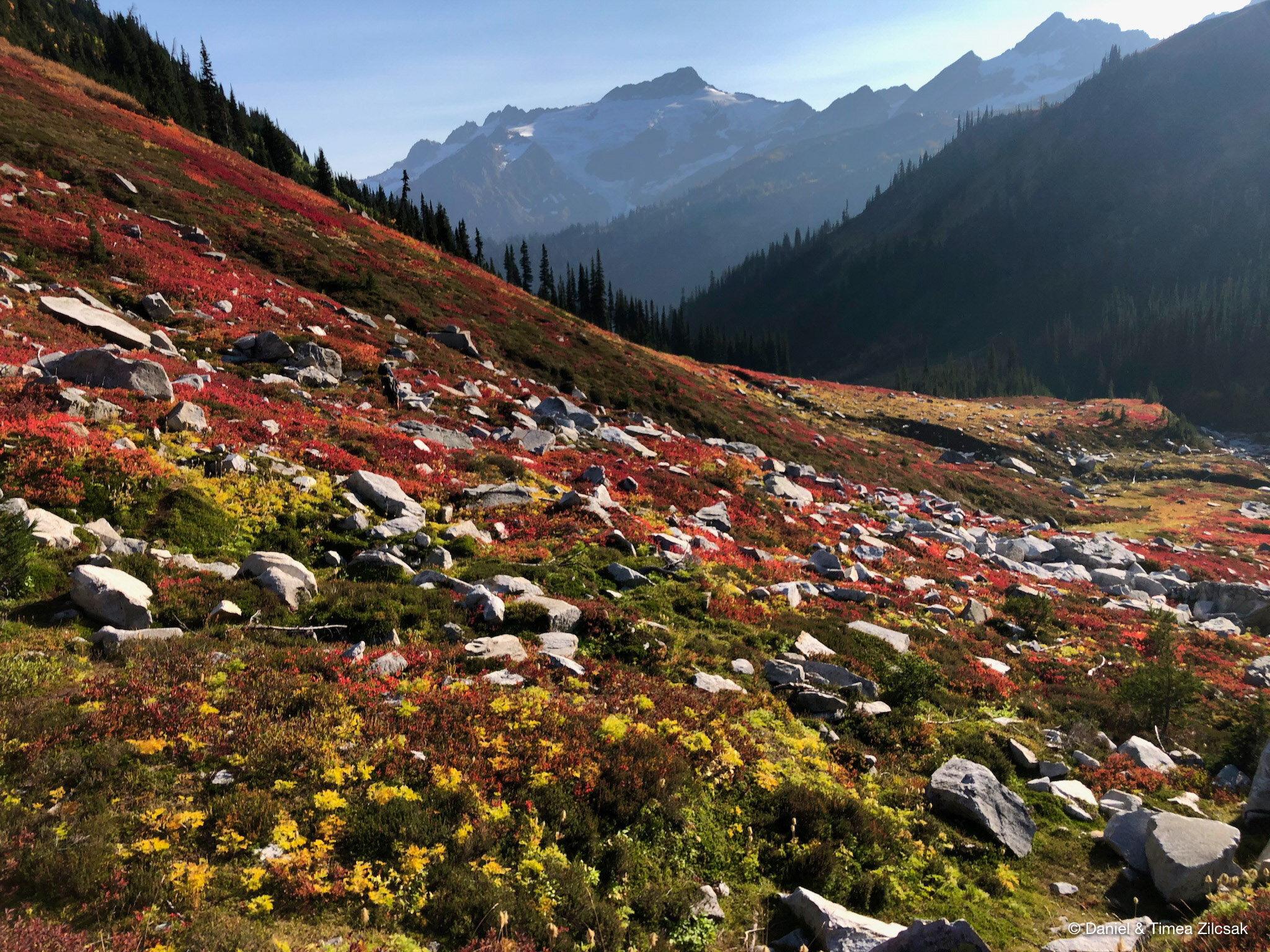
Right around the corner is something hard to describe. The views from here are simply just spectacular! What could you ask for more than an afternoon lunch spot with clear views of High Pass, Triad Lake and Glacier Peak in one direction, and Helmet Butte, Fortress Mountain, Chiwawa Mountain and Red Mountain in the other direction.
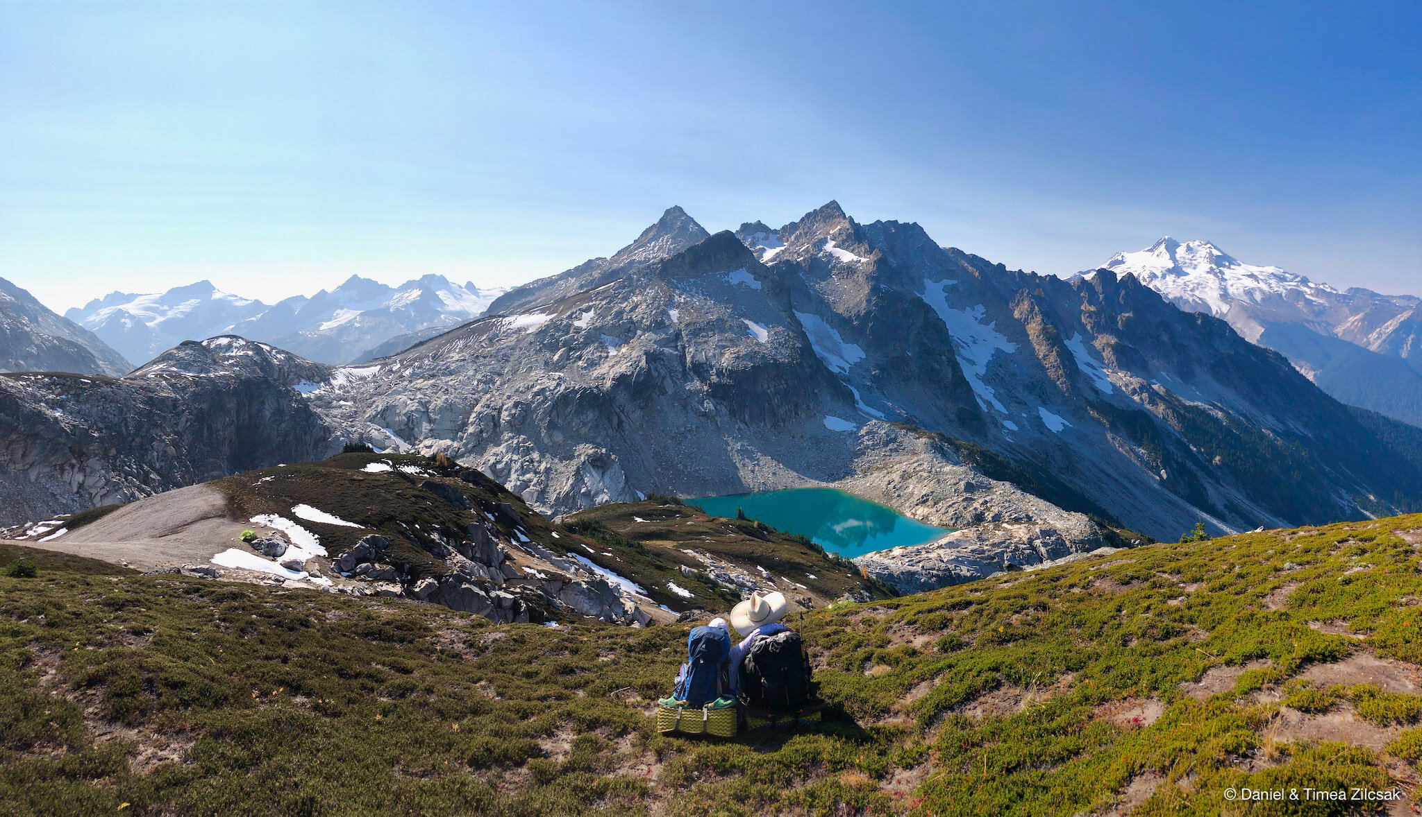
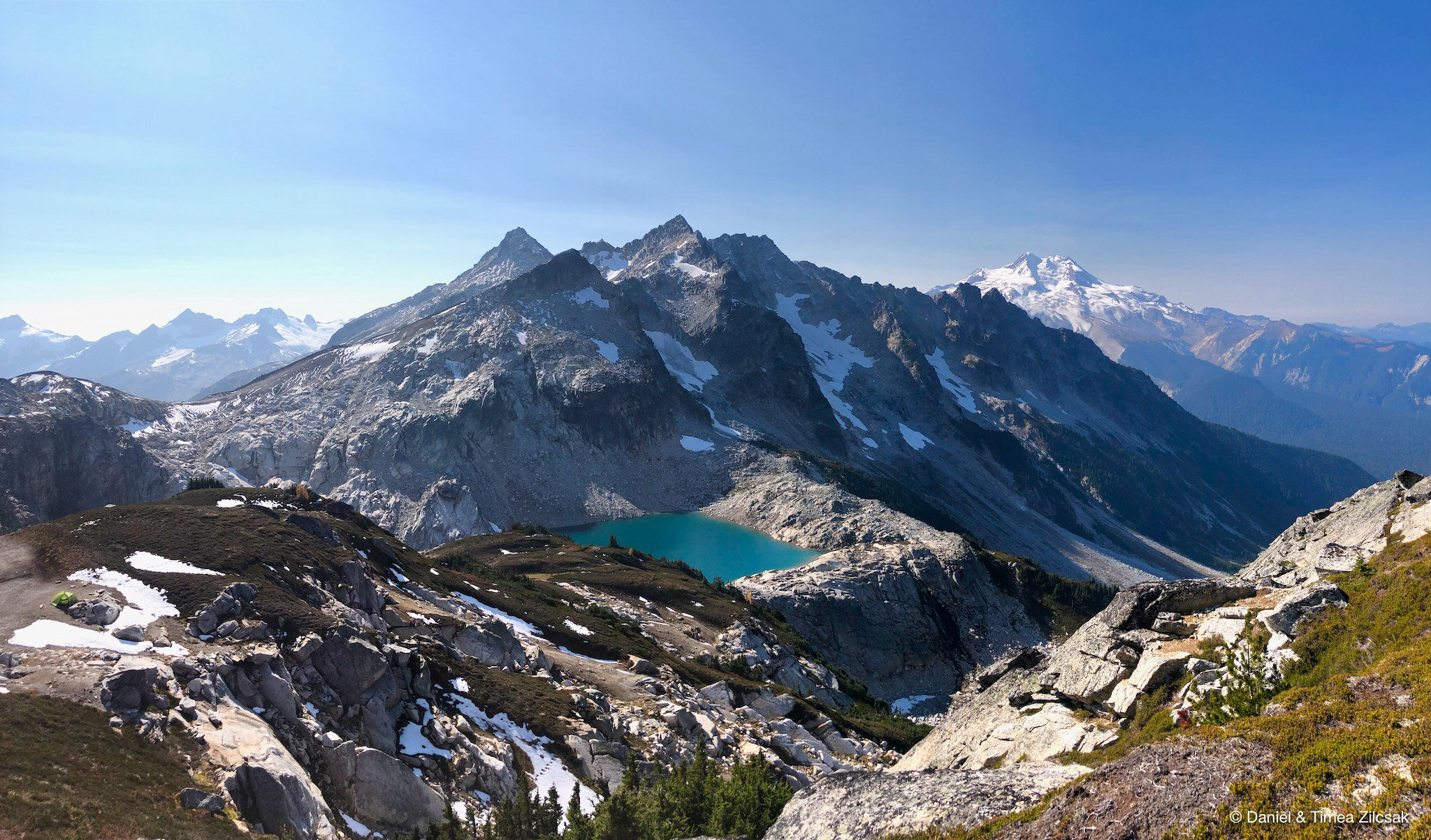
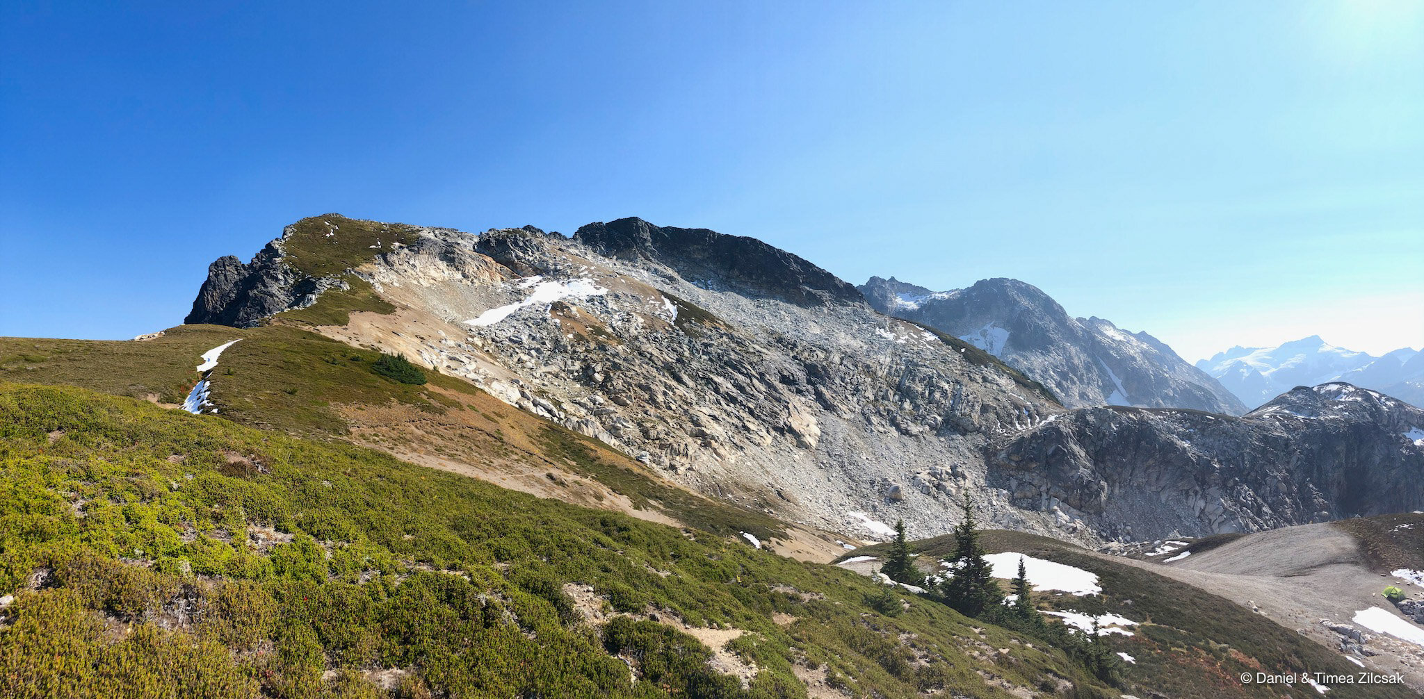
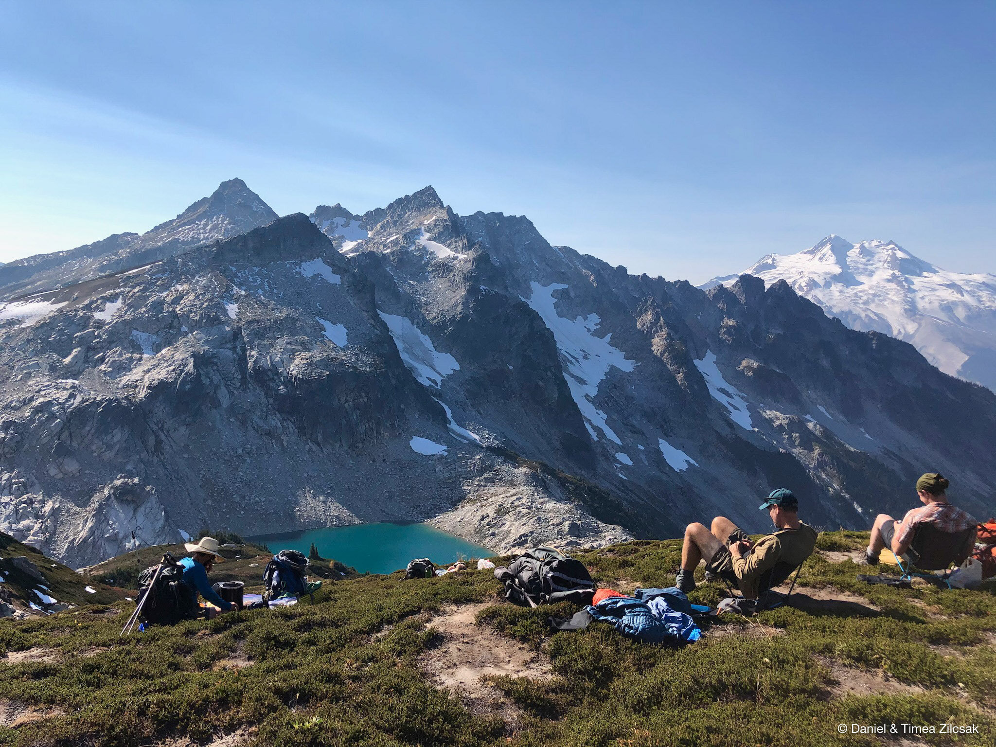
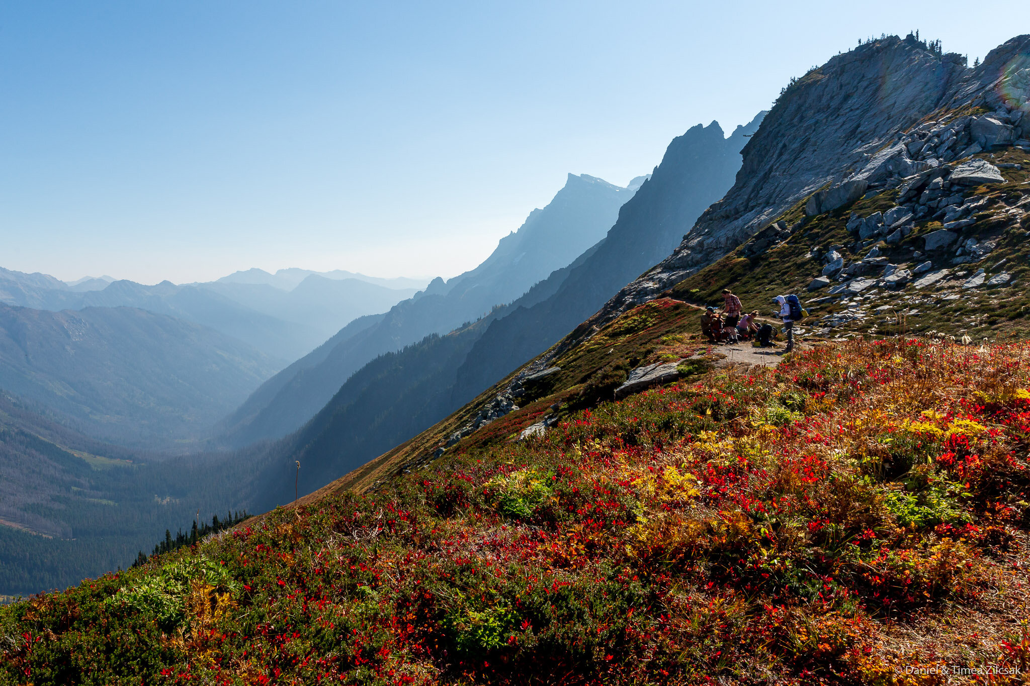
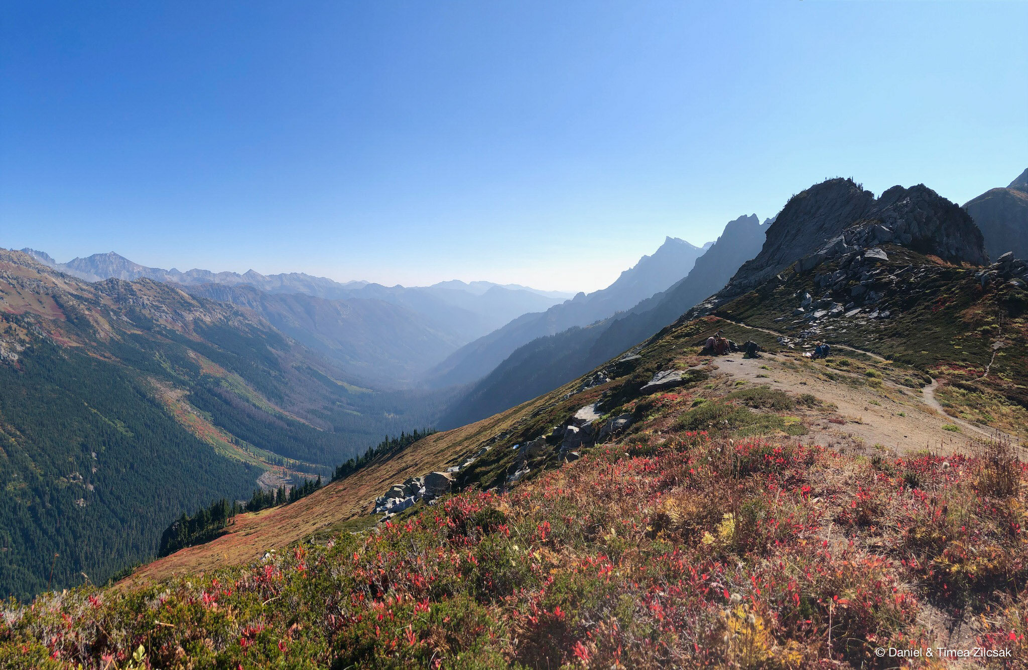
After our spectacular lunch, we headed over to High Pass. From our lunch spot, High Pass was right in front of us, and like with every pass, we could not wait to see the views on the other side.
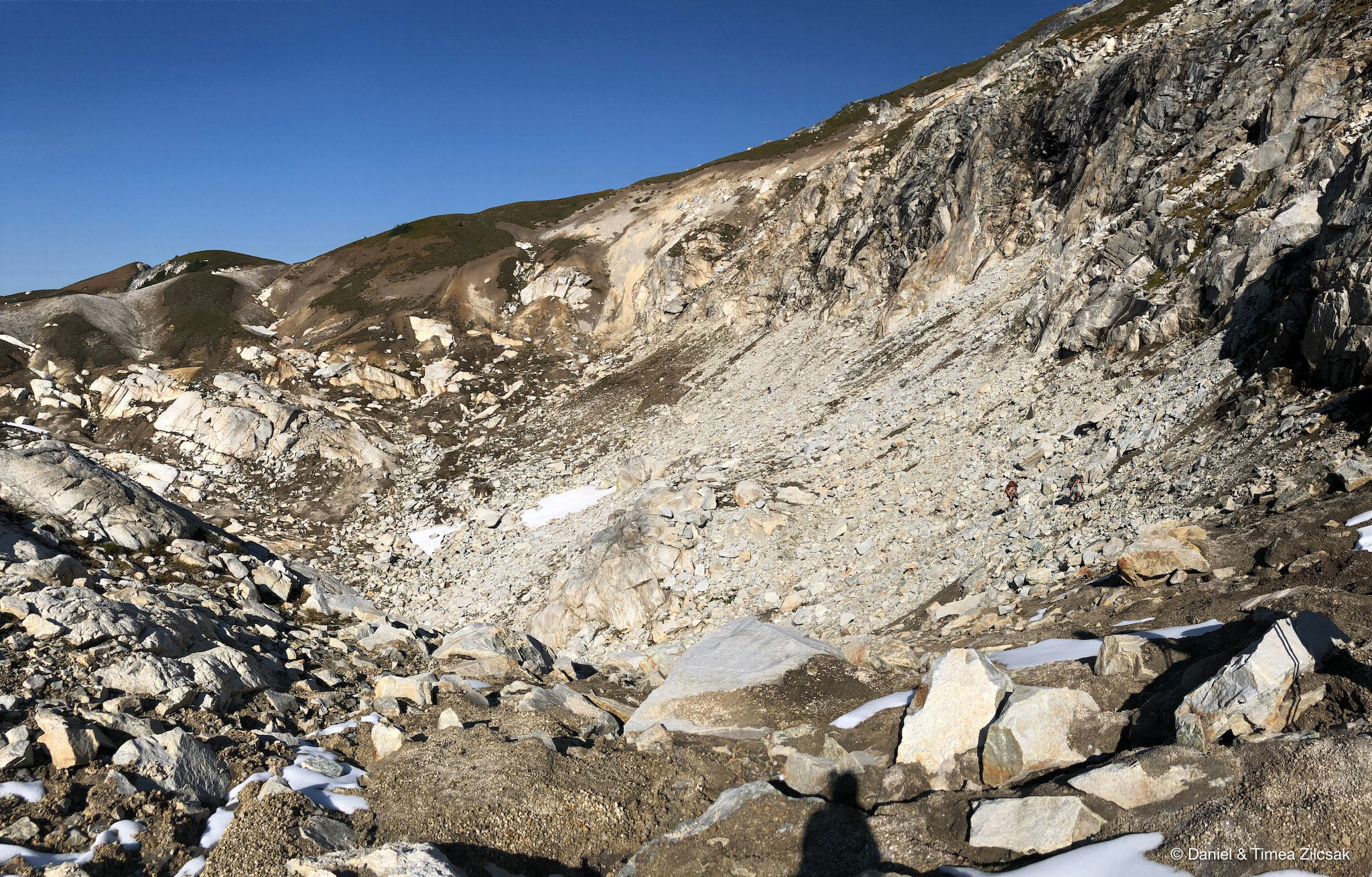
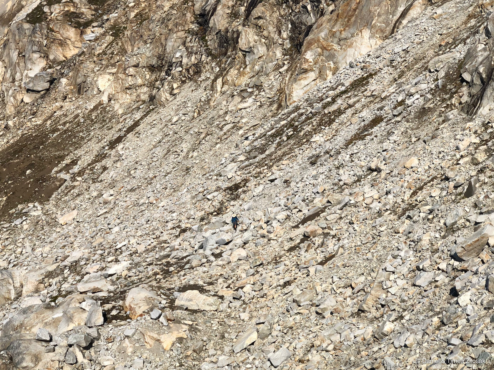
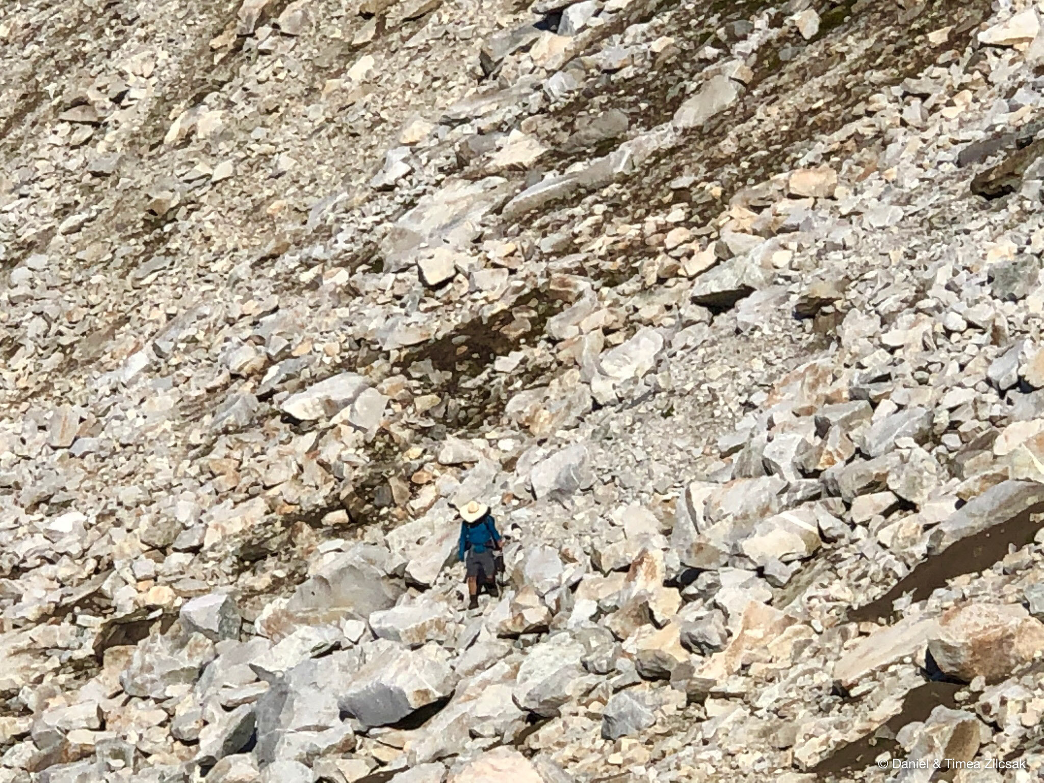
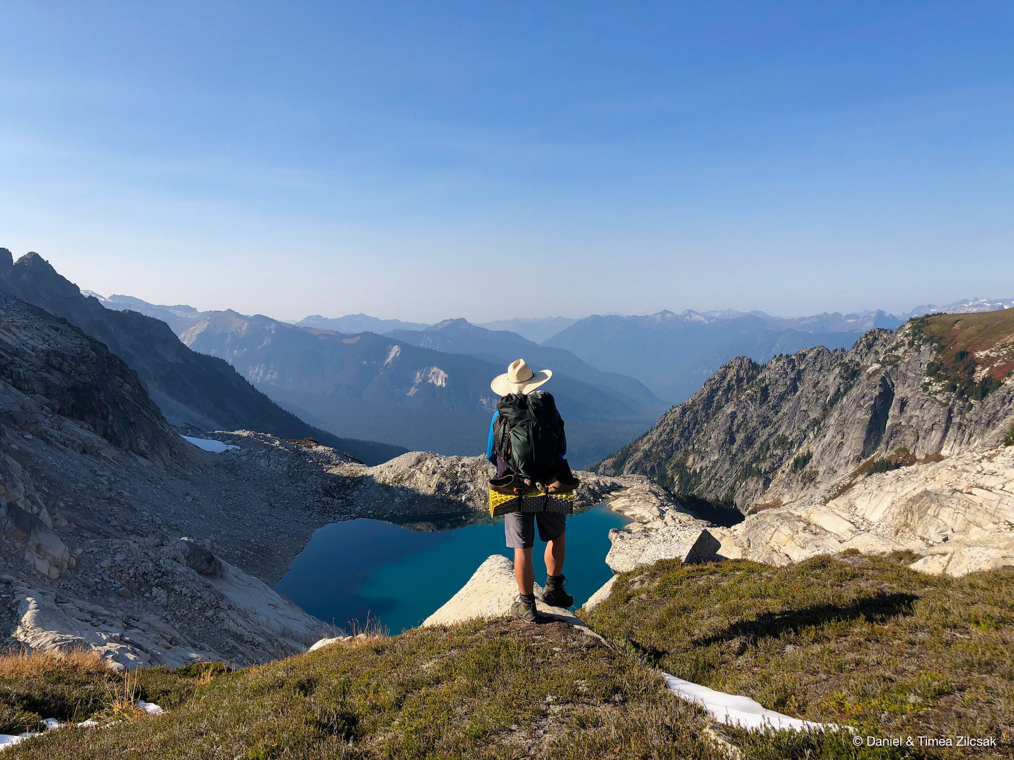
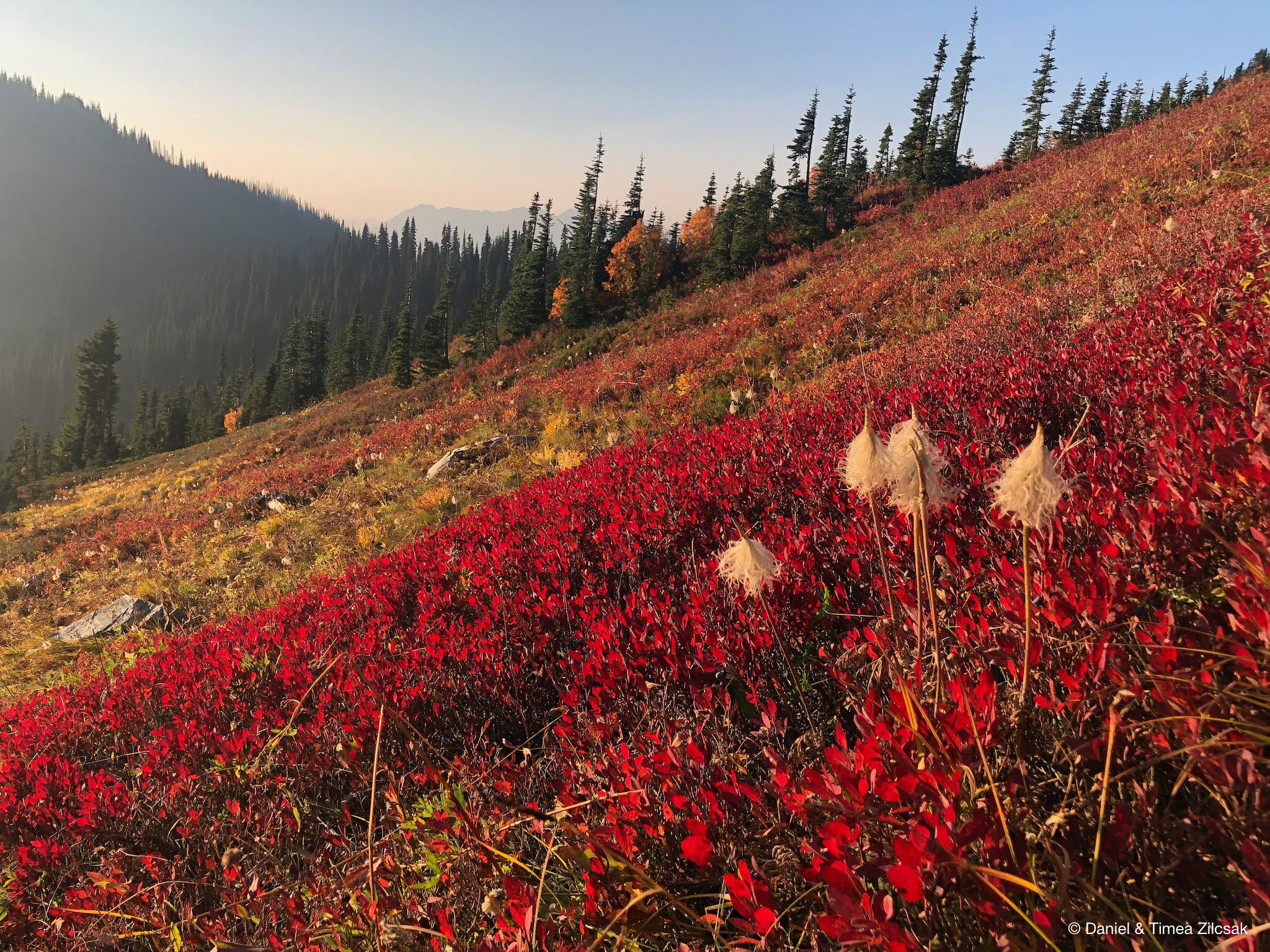
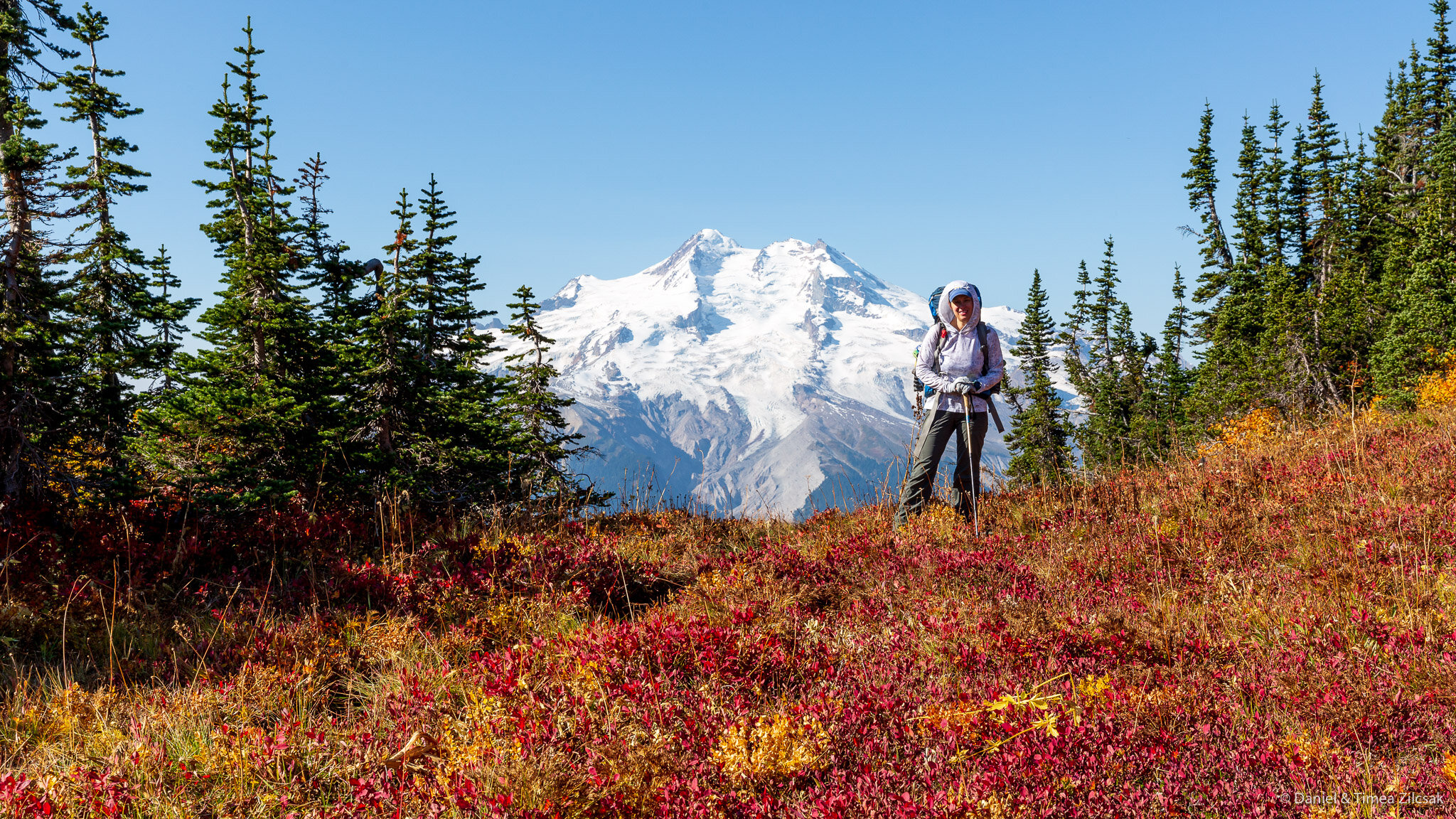
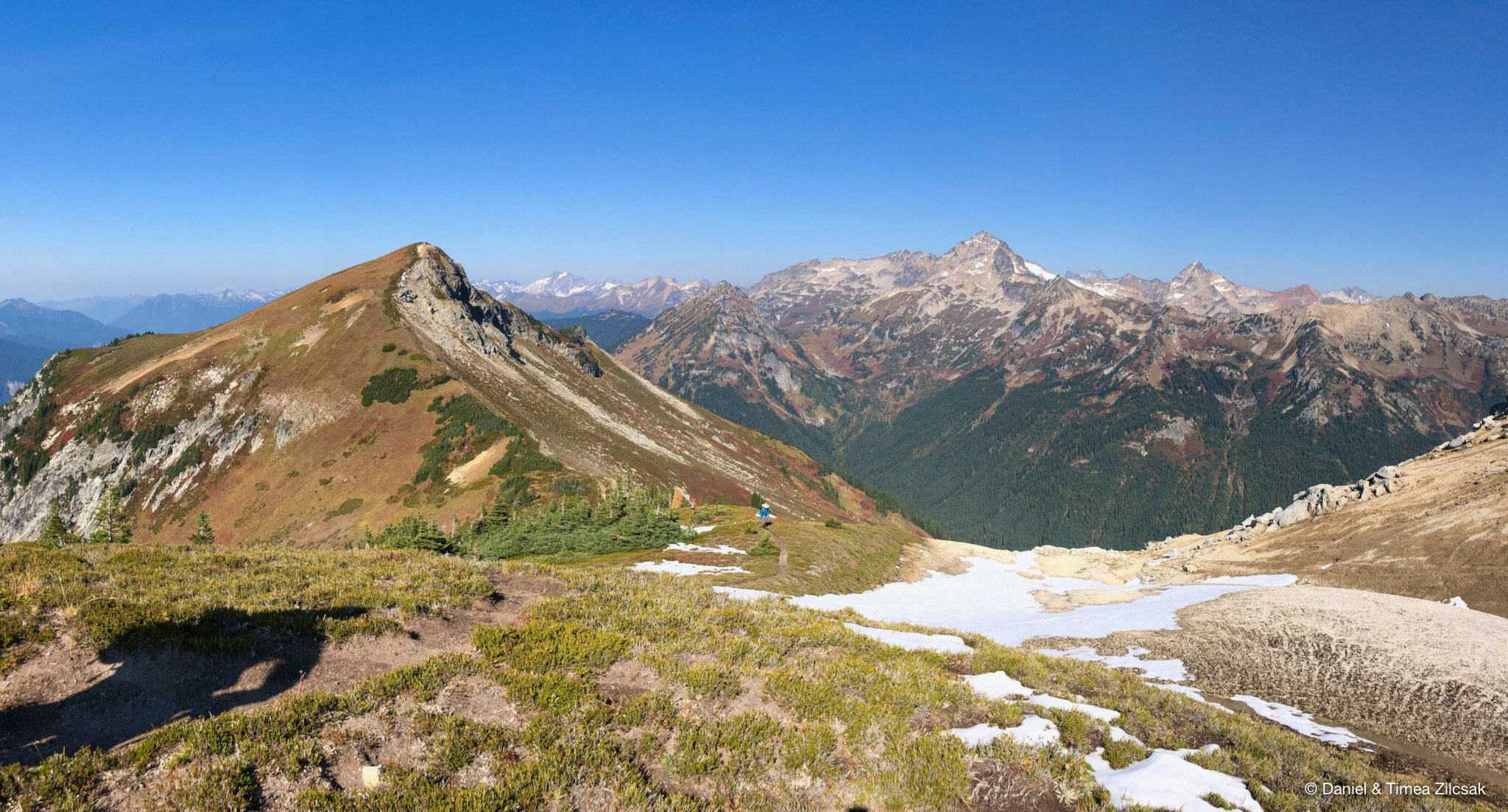
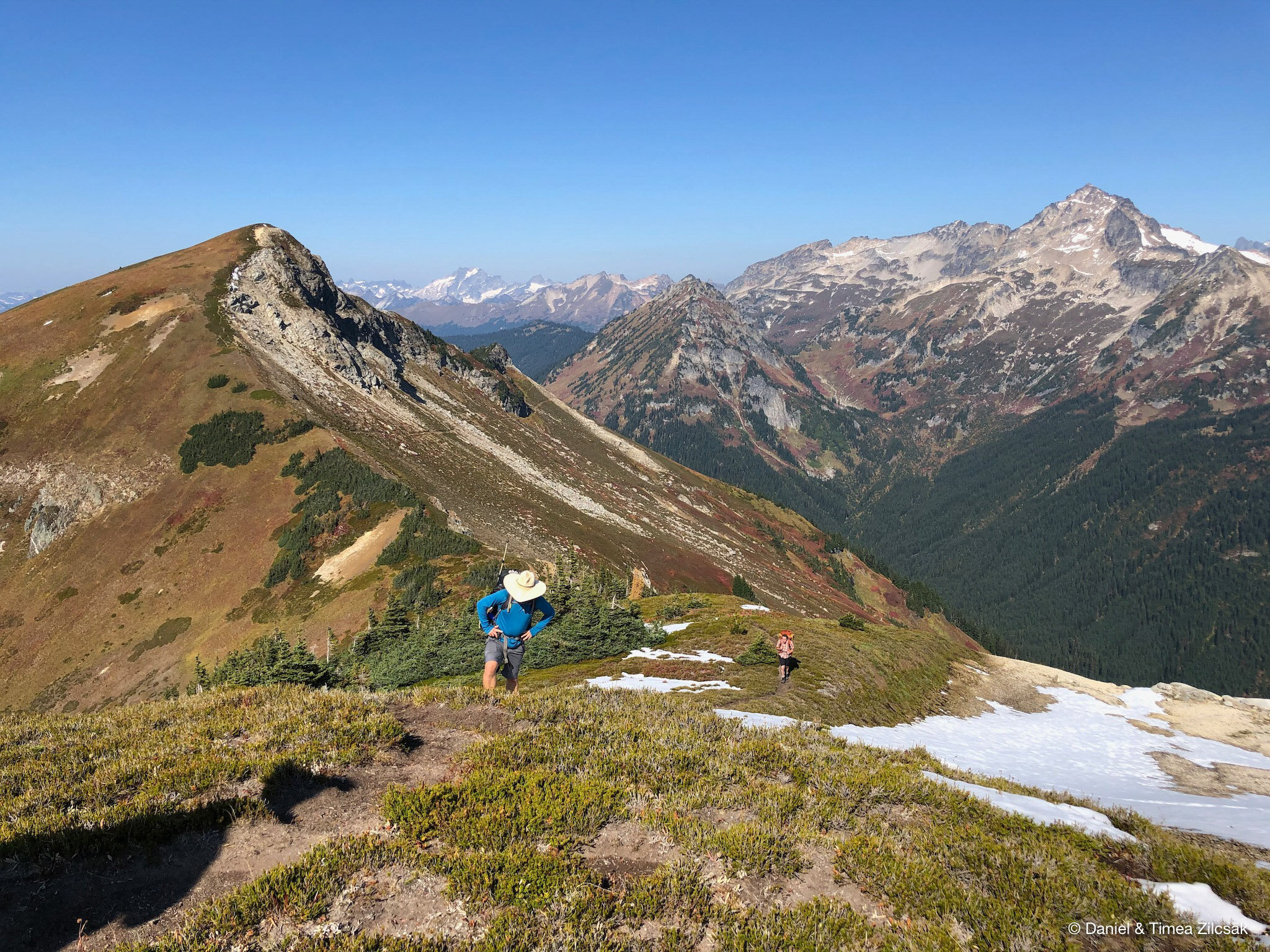
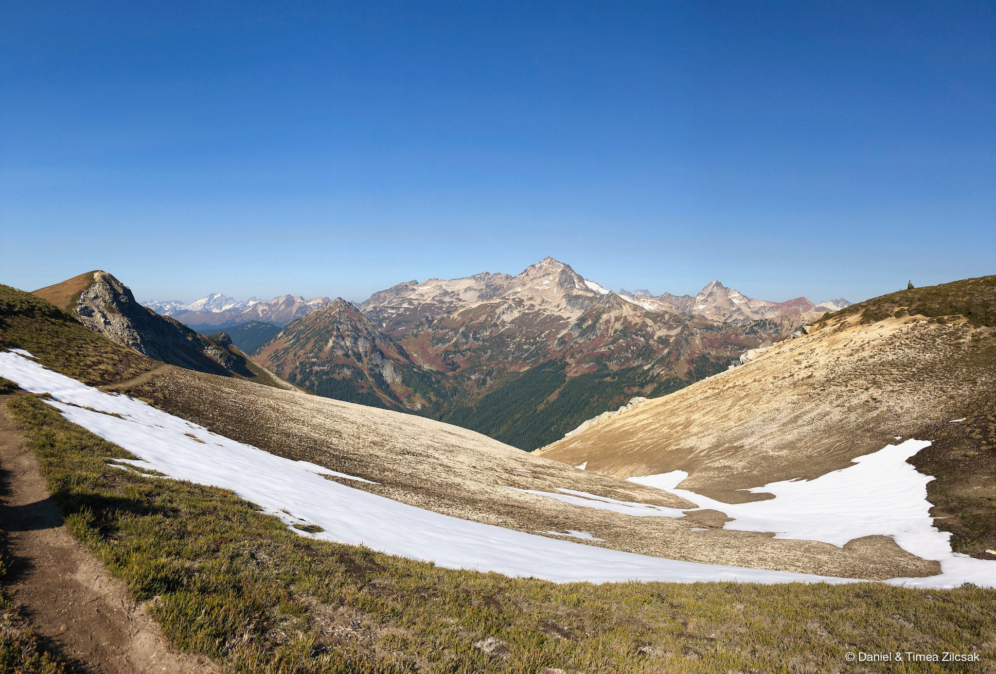
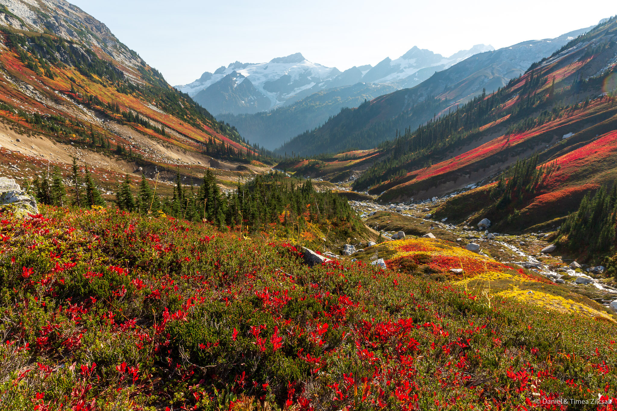
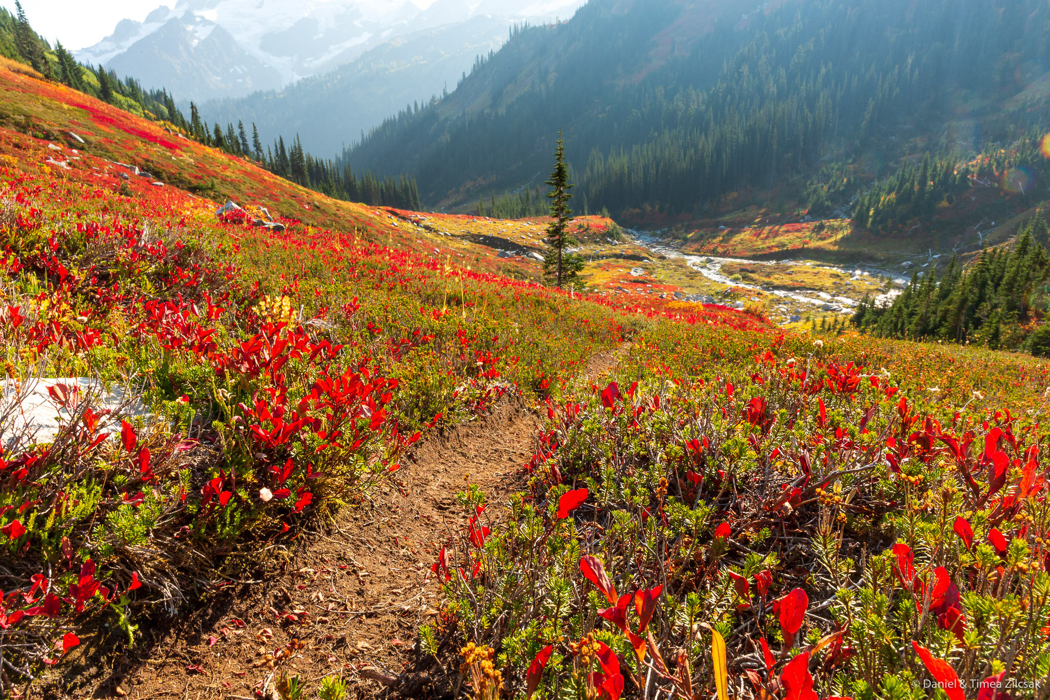
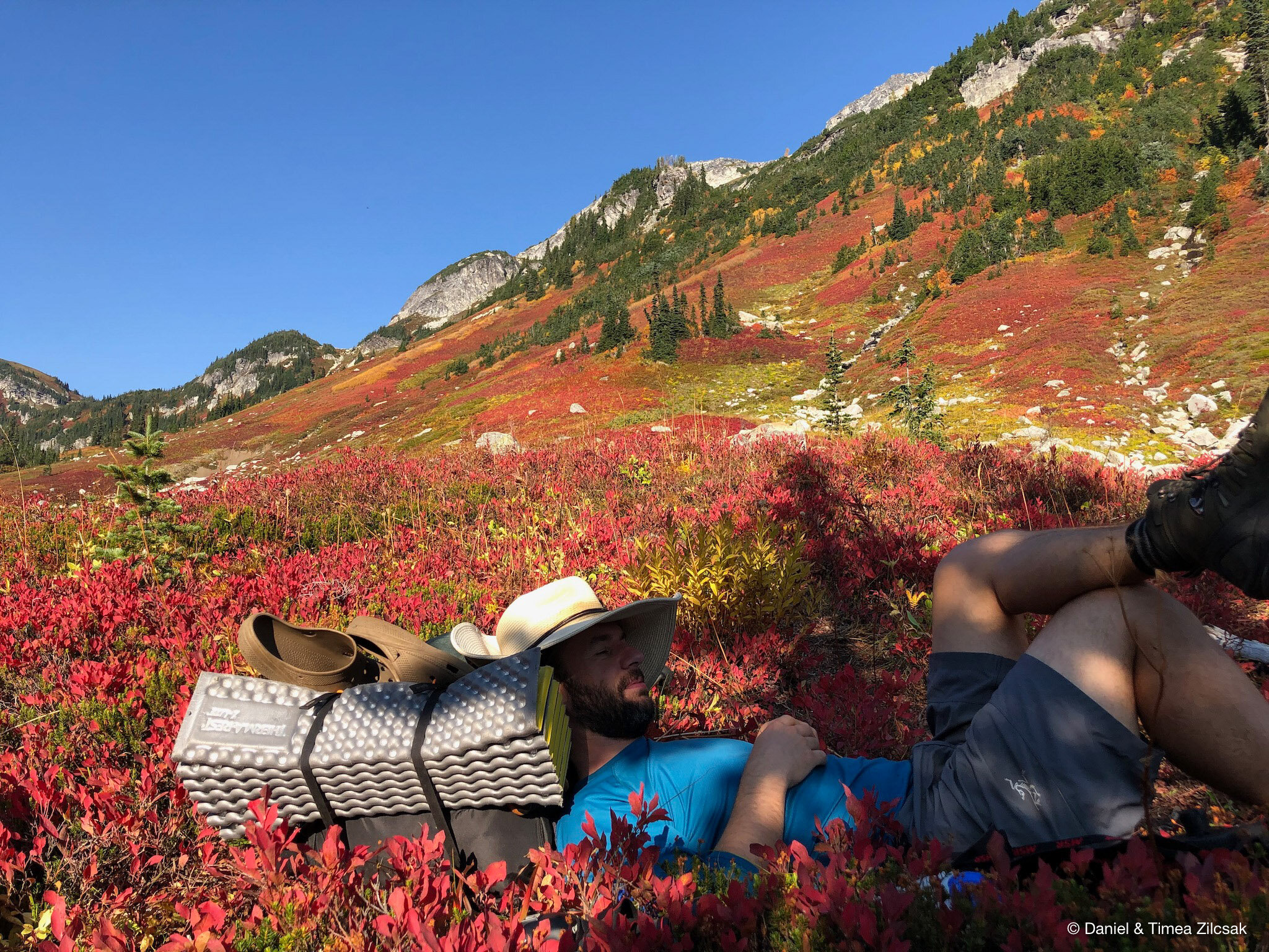
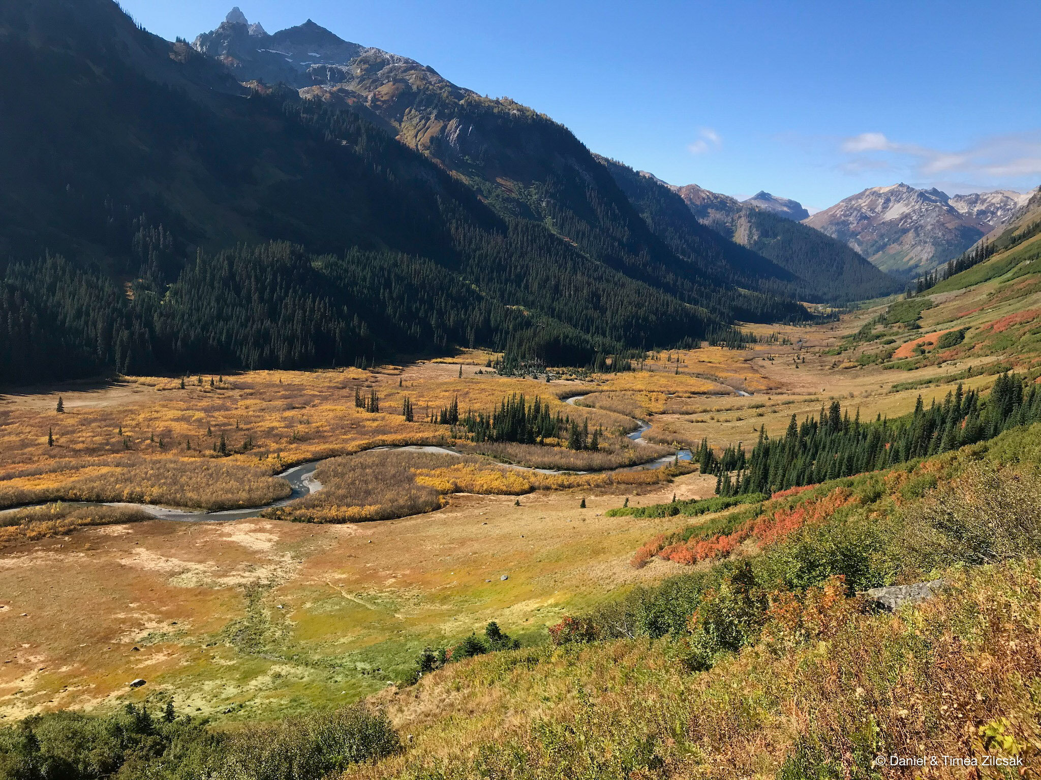
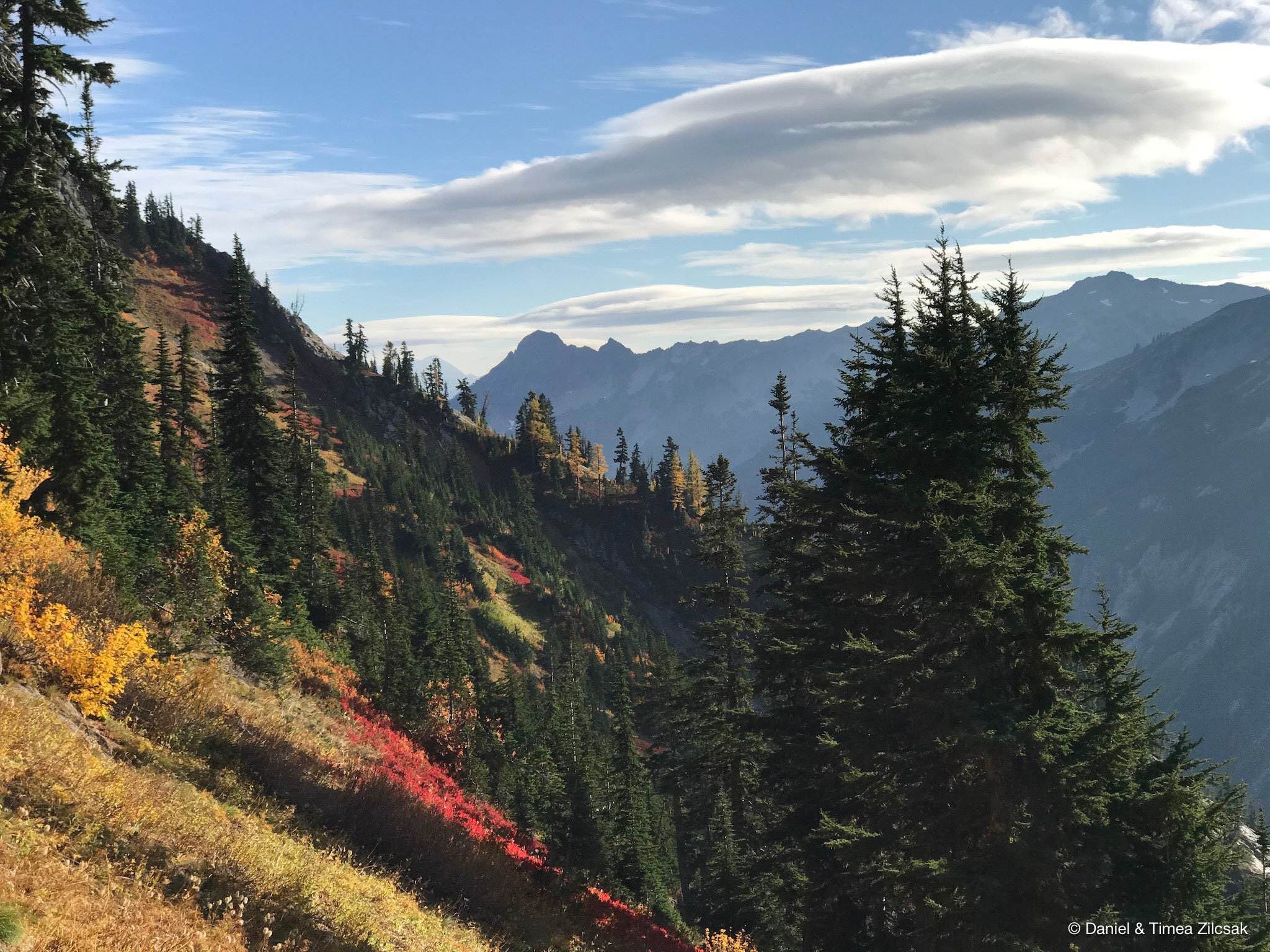
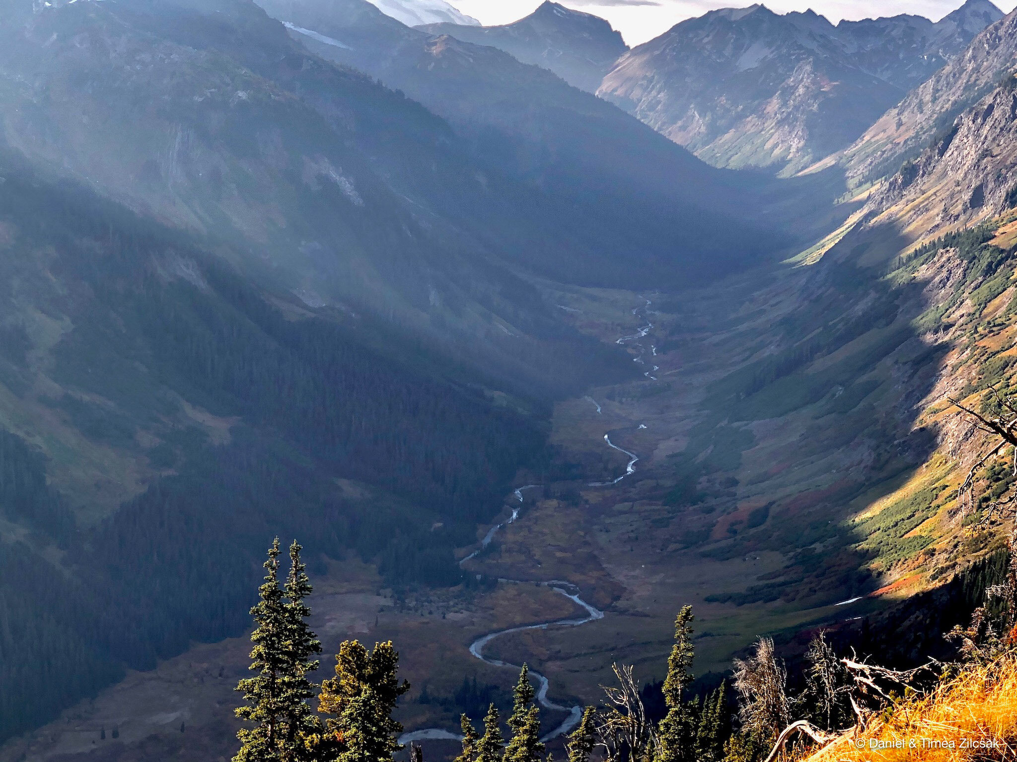
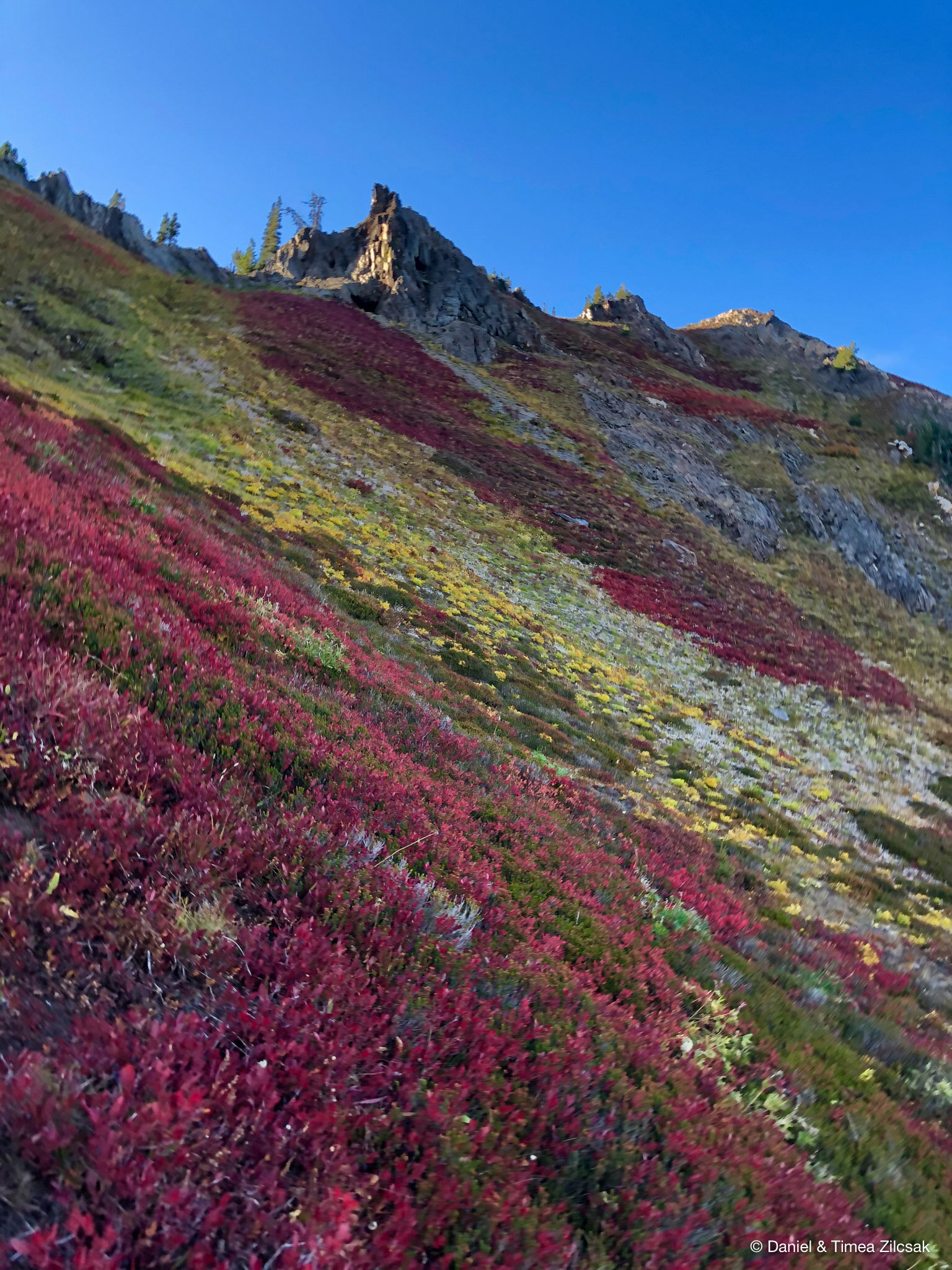
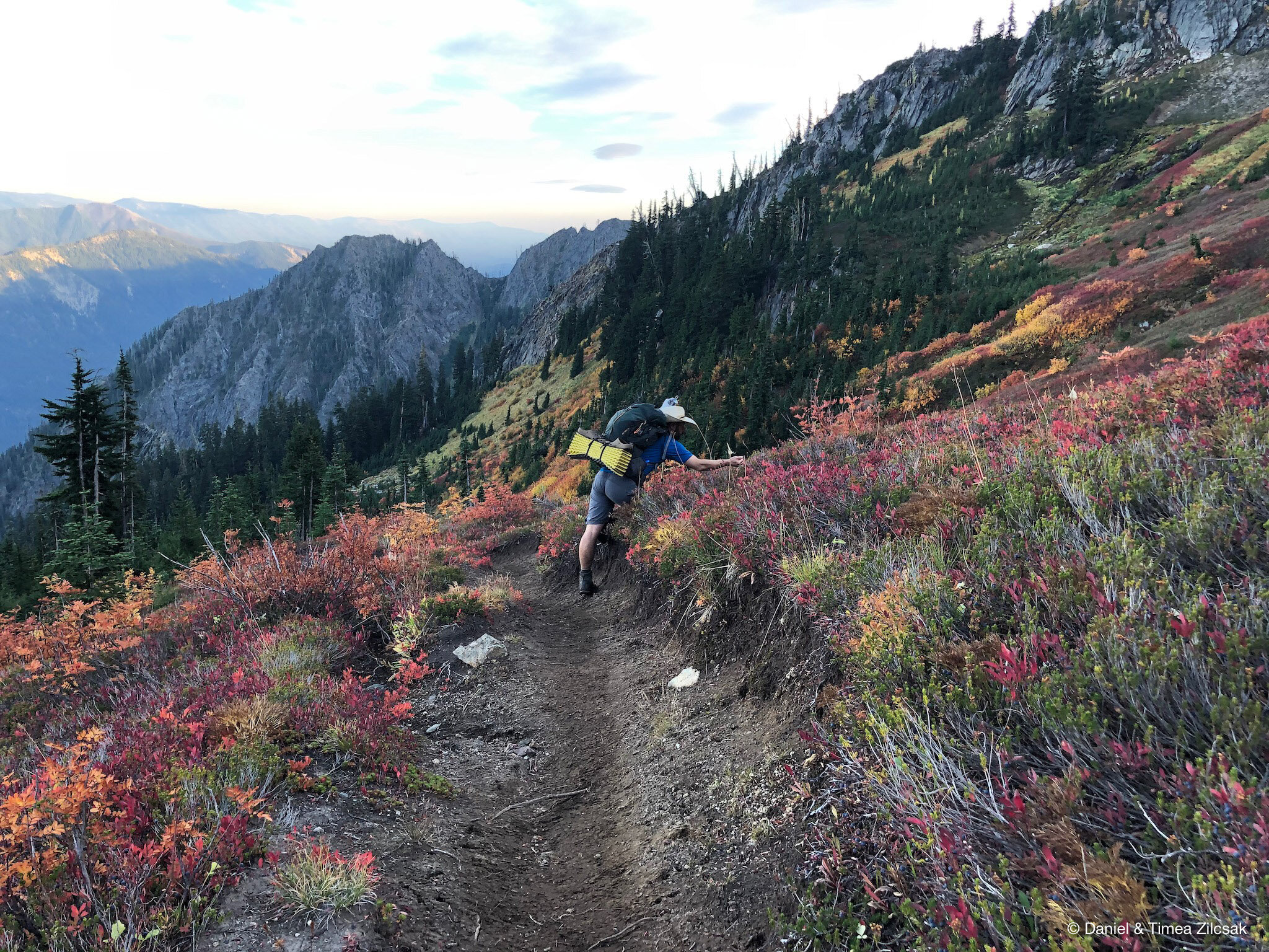
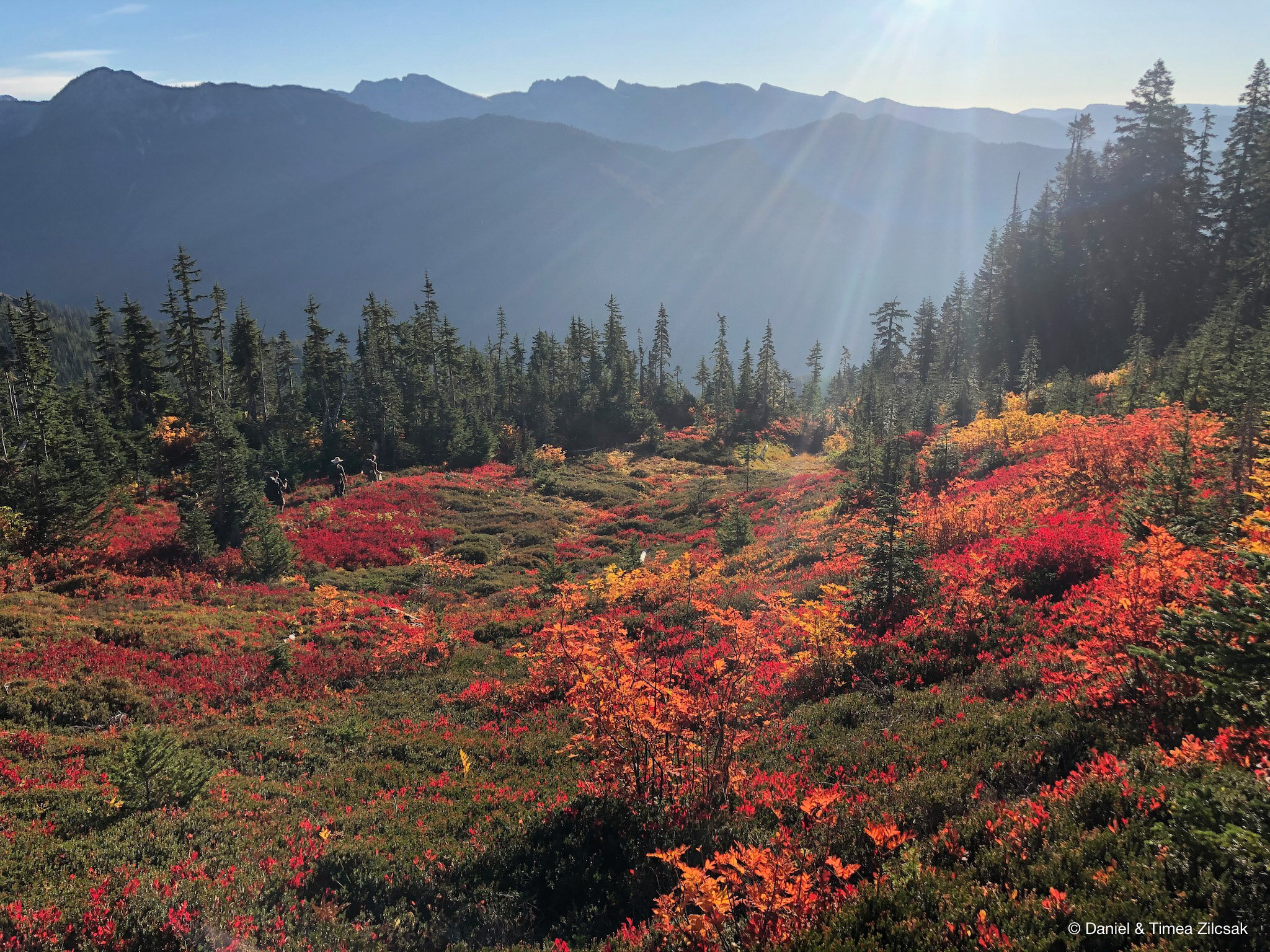
After we reached High Pass and took a few more pictures, we headed down towards Napeequa Valley. The trail here fades in and out a few time so we kept our focus up, but not for long as the colorful views of the blueberry meadows stole our full attention. Here is where my heart and mind got completly soaked in and could not be more happier!
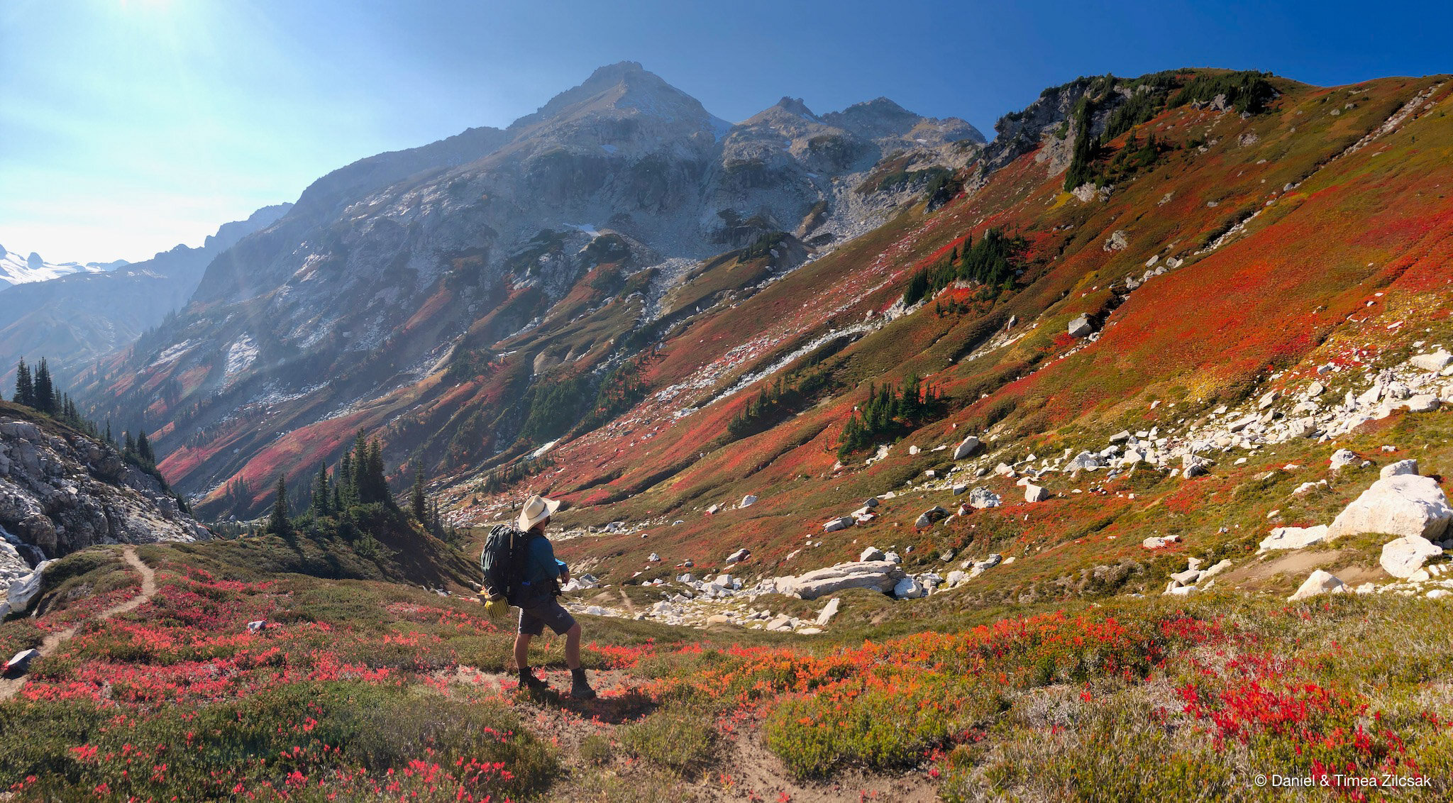
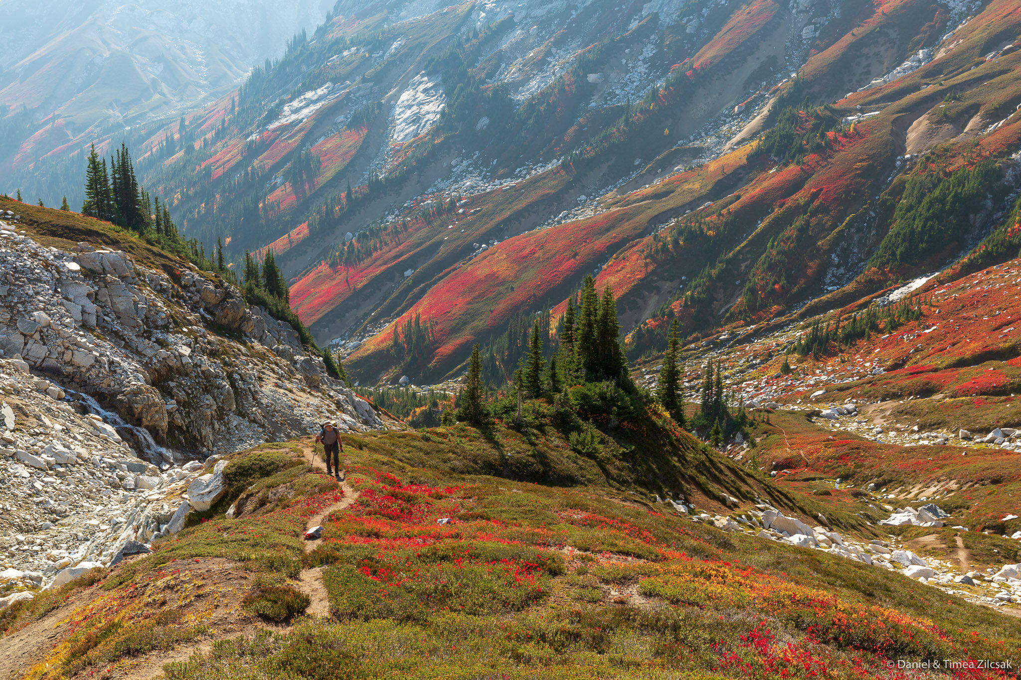
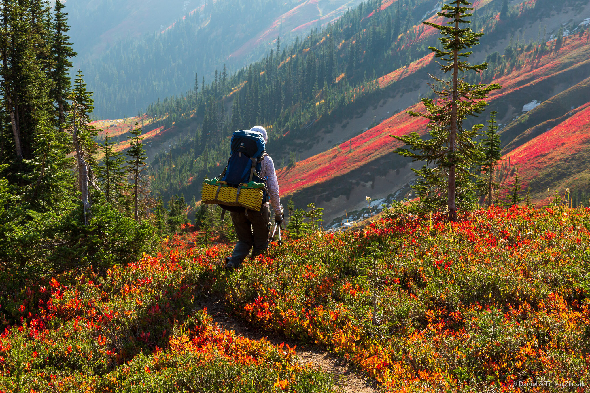
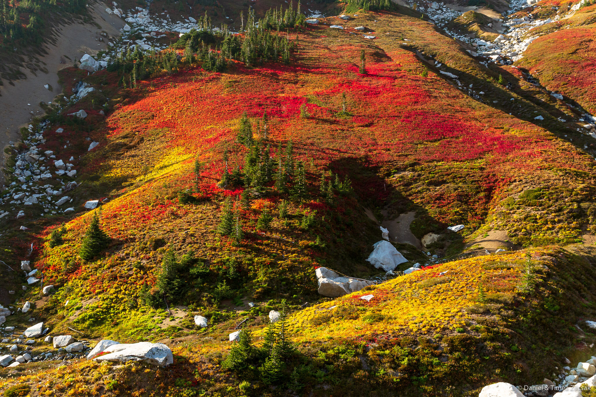
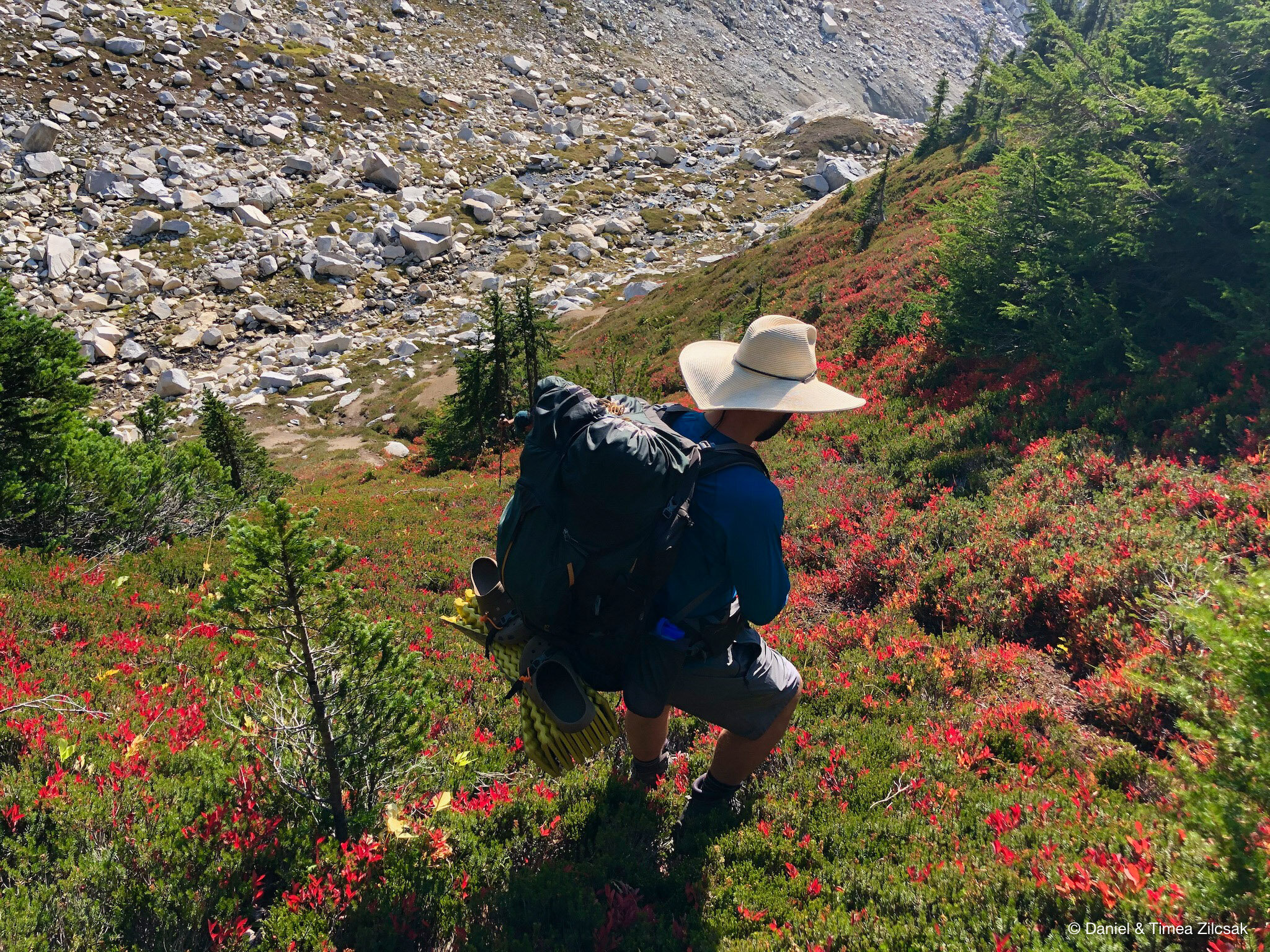
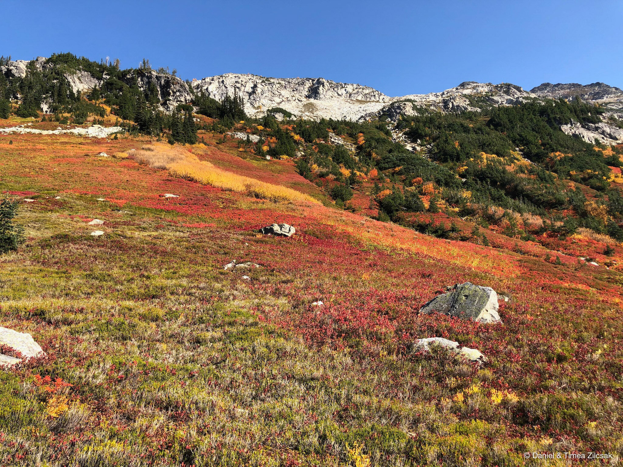
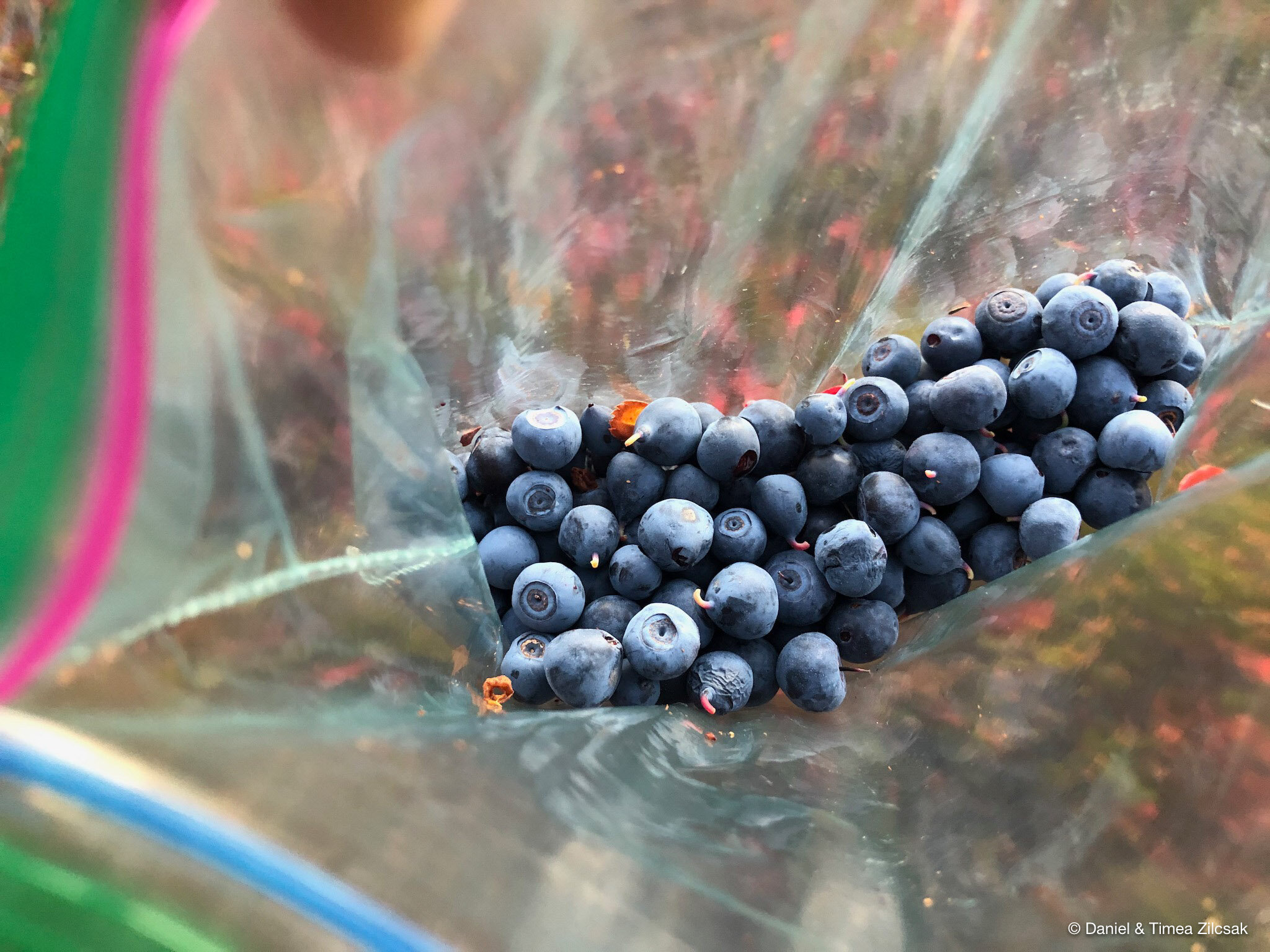
Before we reached our second day’s camp, we took another brake in the blueberry fields, not only to enjoy the scenery that surrounded us, but to munch on some more berries! No wonder why the bear likes them so much, wild berries are the best!
Day 3: Napeequa Valley to Little Giant Pass
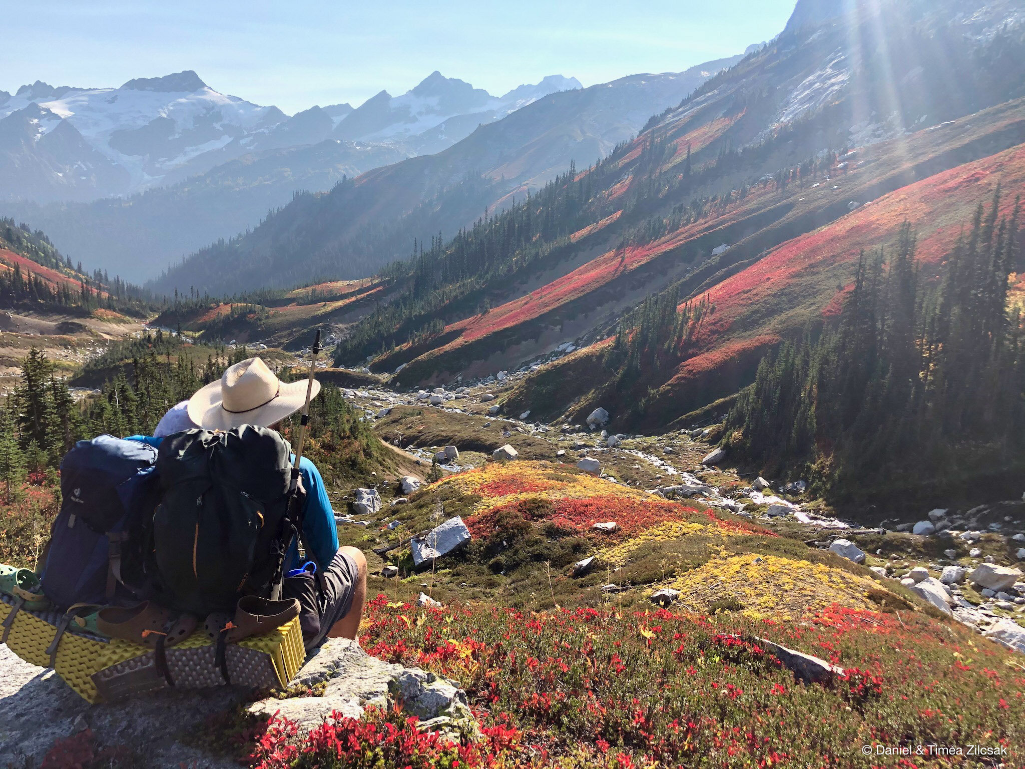
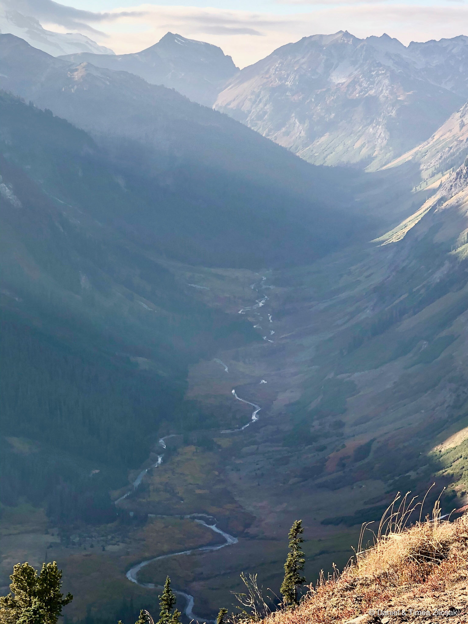
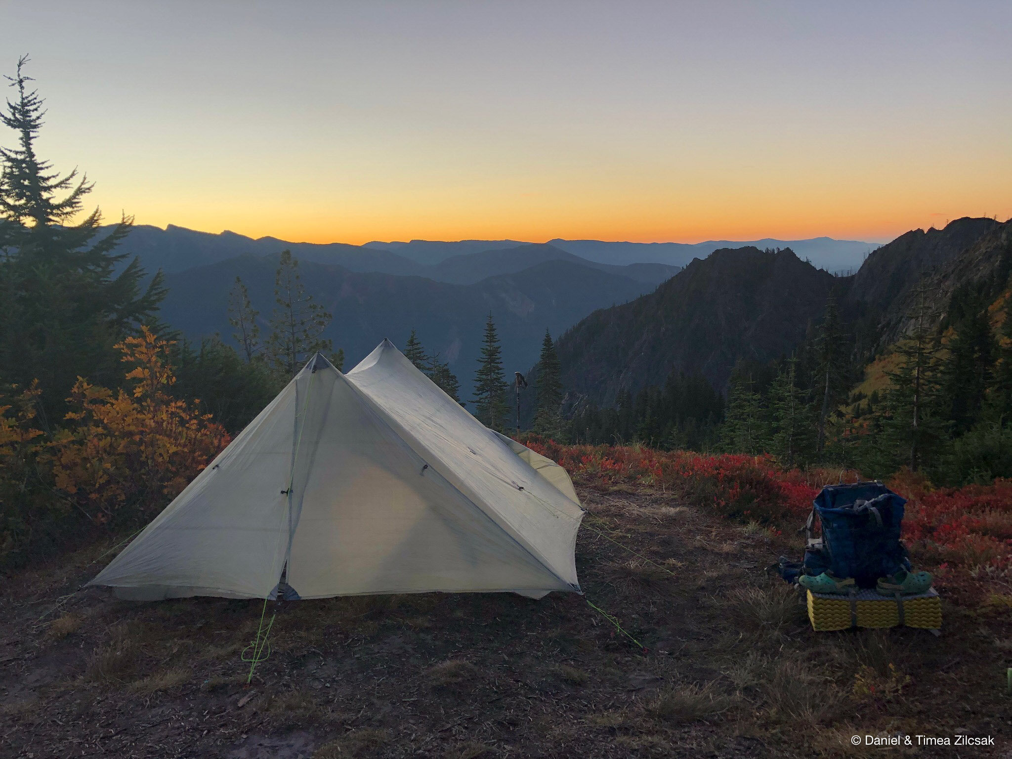
We spent the night down in the valley, near the confluence of the Napeequa River with the creek flowing down from High Pass. It got chilly during the morning hours but we had a good night sleep.
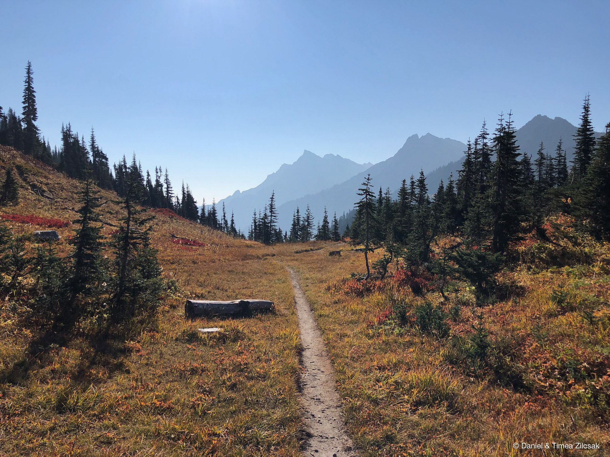
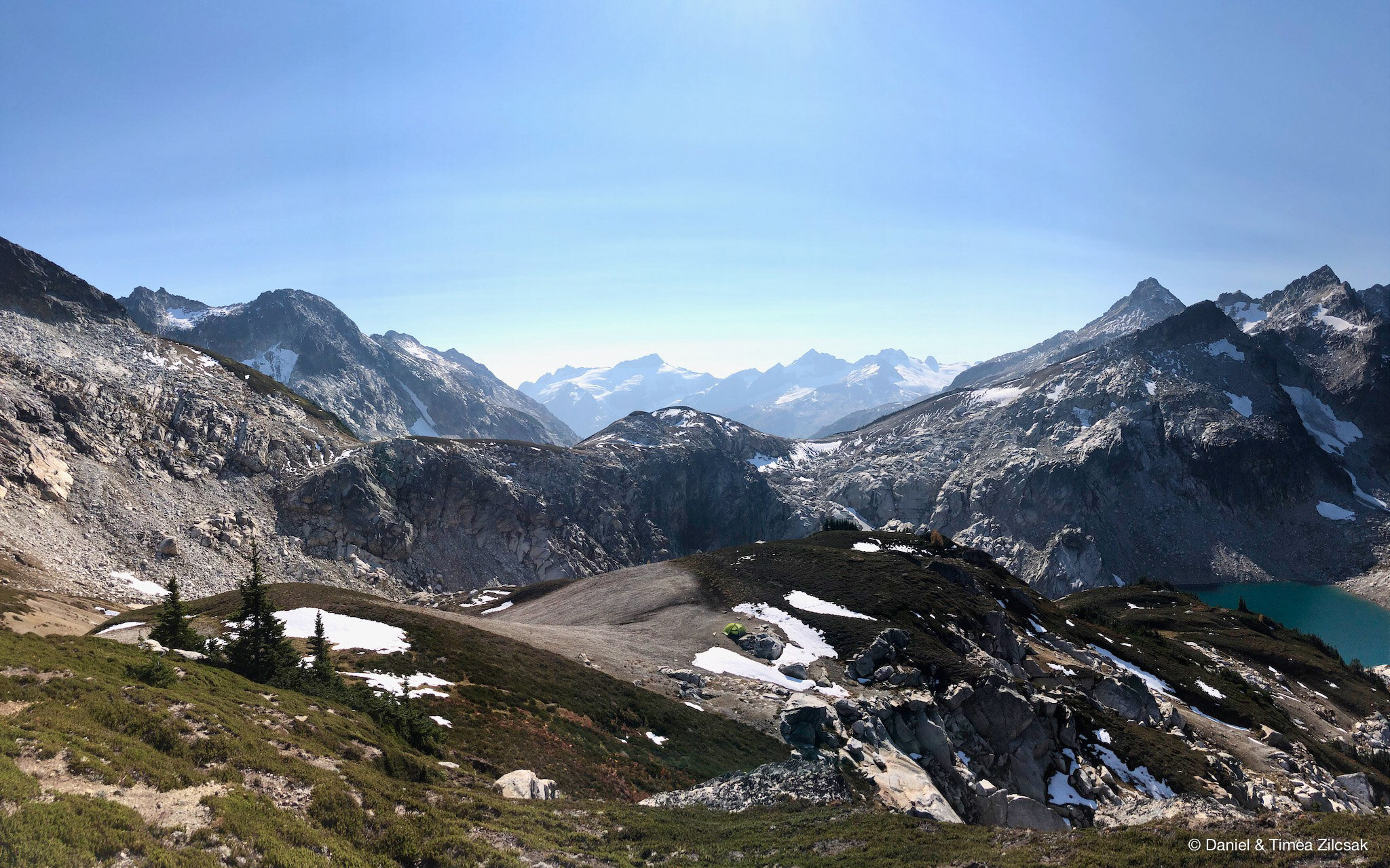
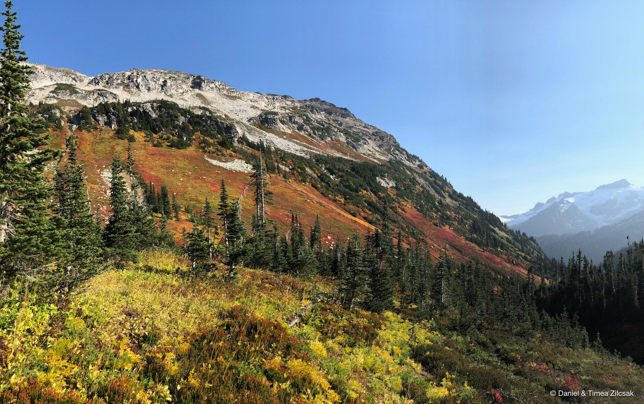
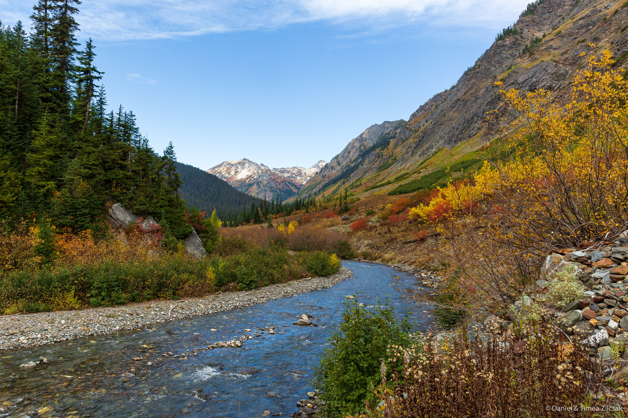
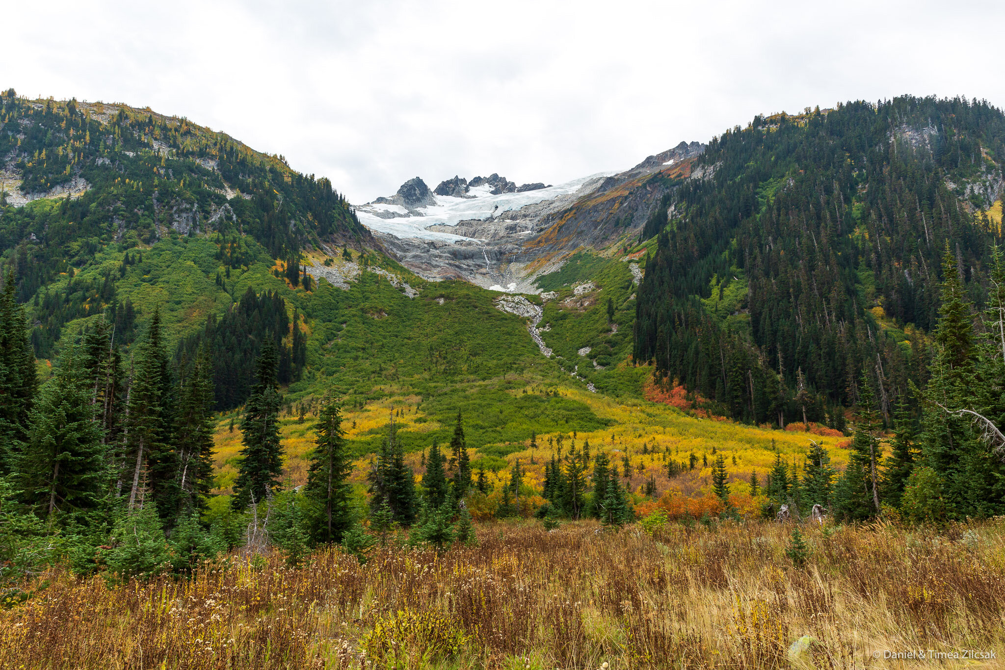
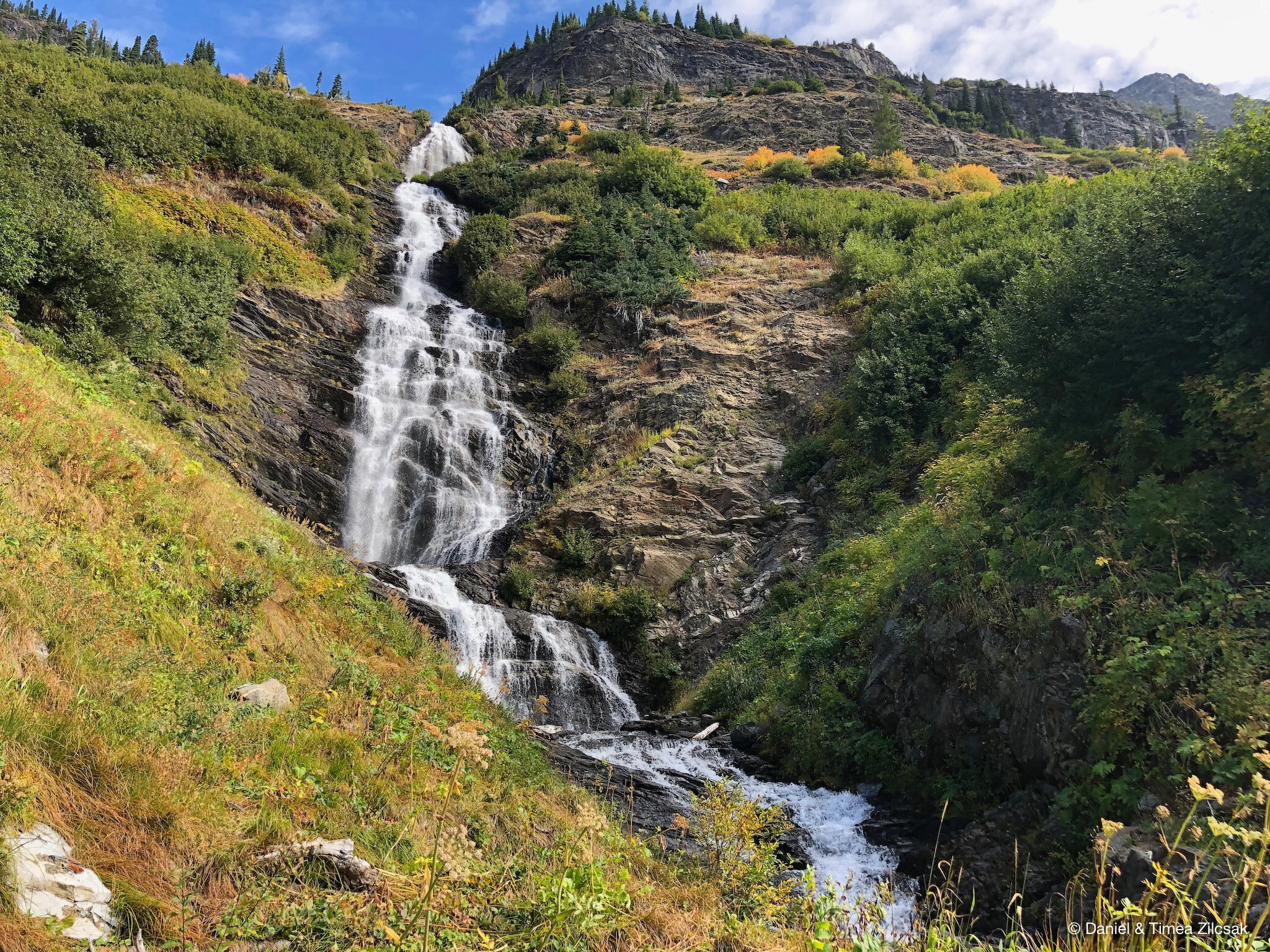
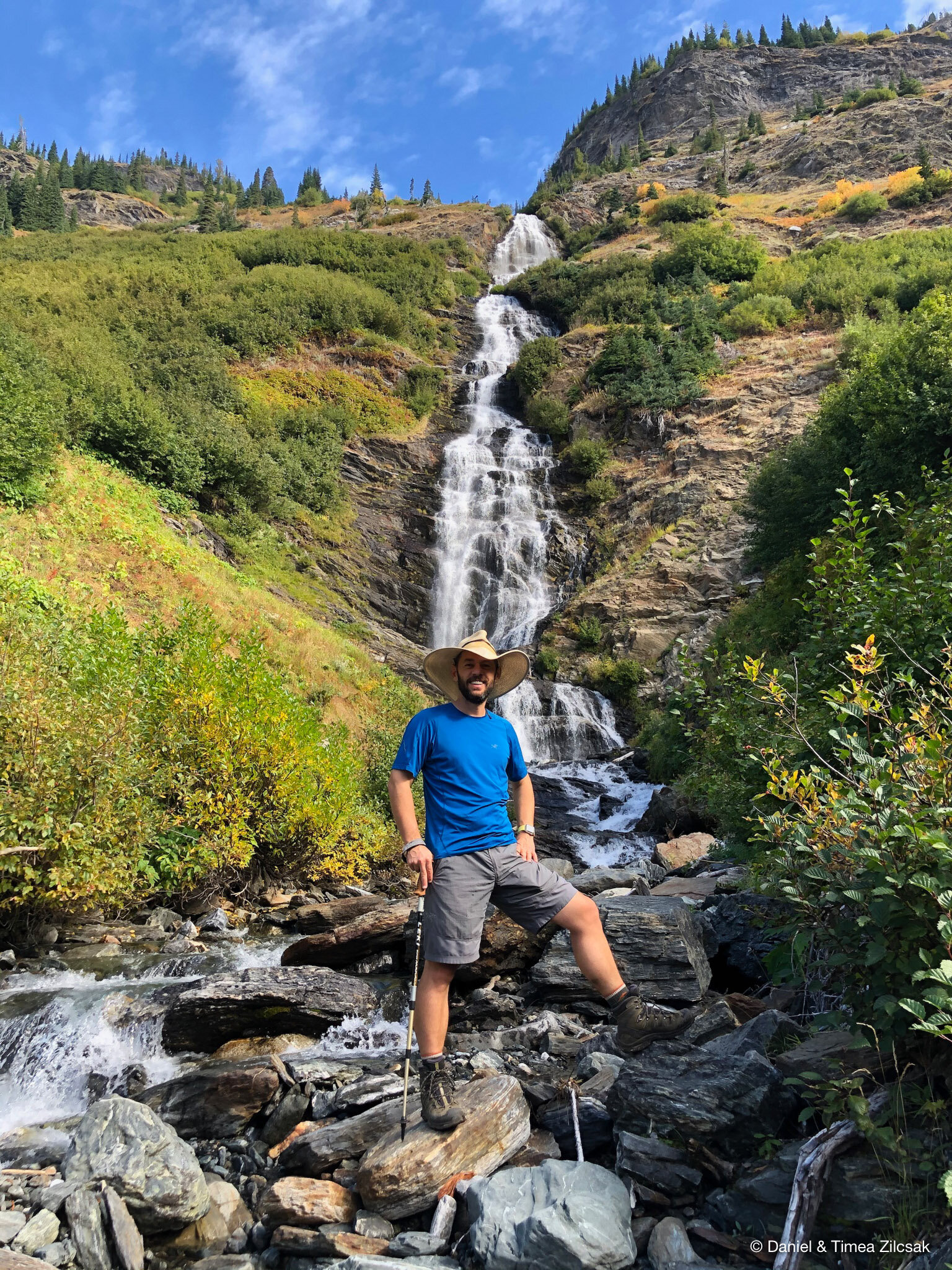
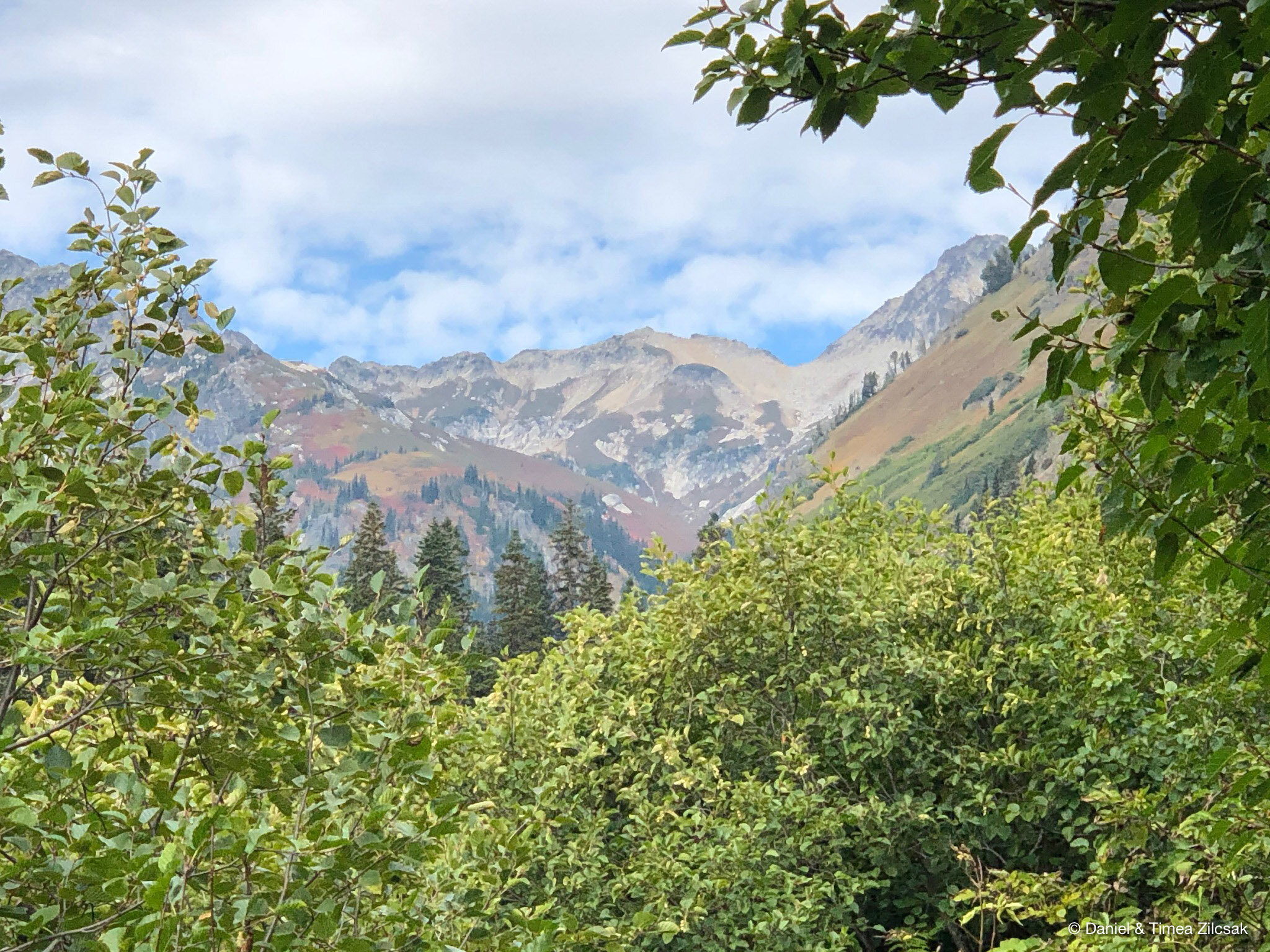
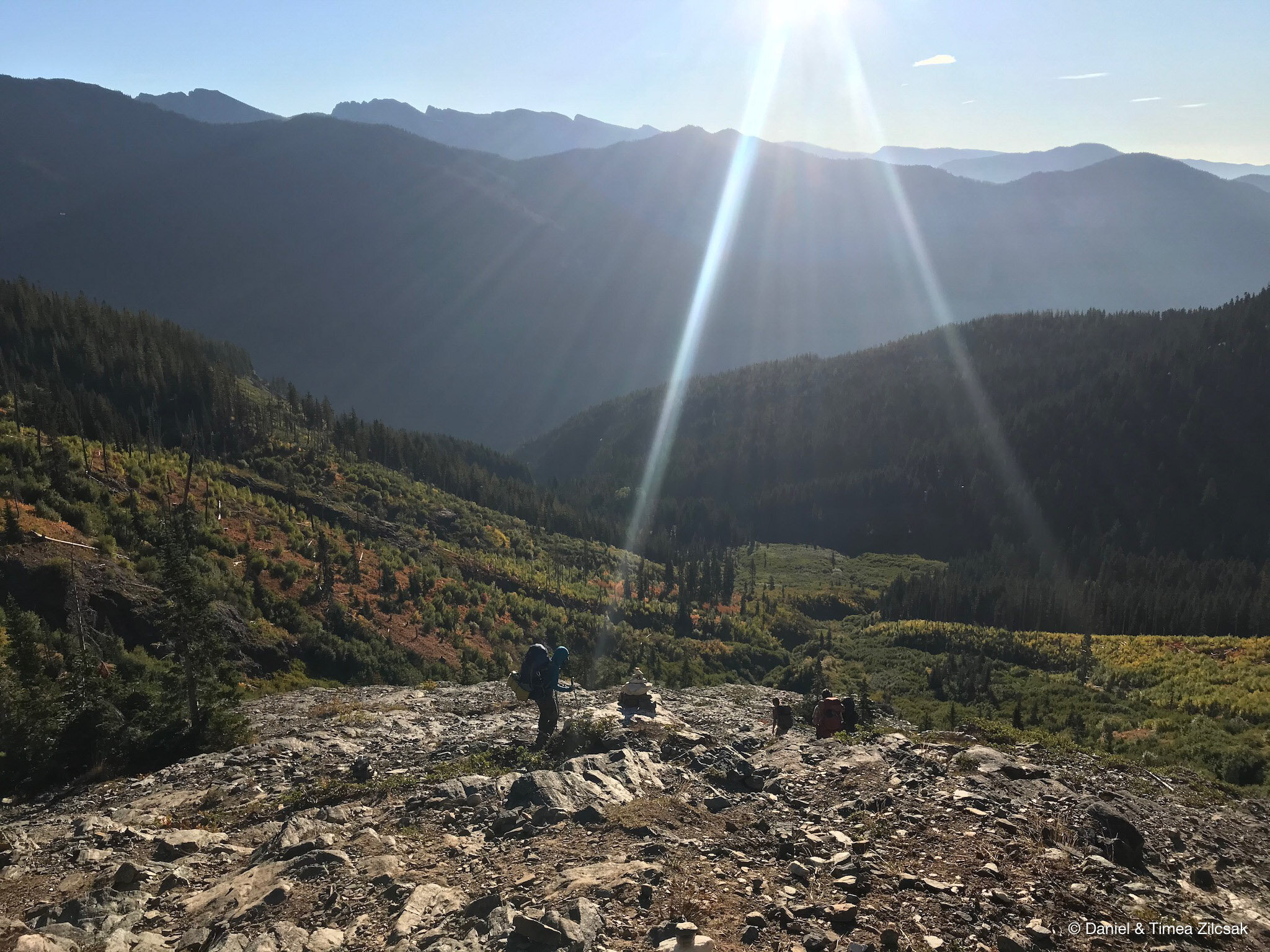
On our third day we followed the Napeequa River toward the South East, passing by the beautiful Louis Falls and Clark Mountain, with its majestic Clark Glacier, and bushwhacking through smelly deep swampy grounds that kept us vigilant and right on our toes.
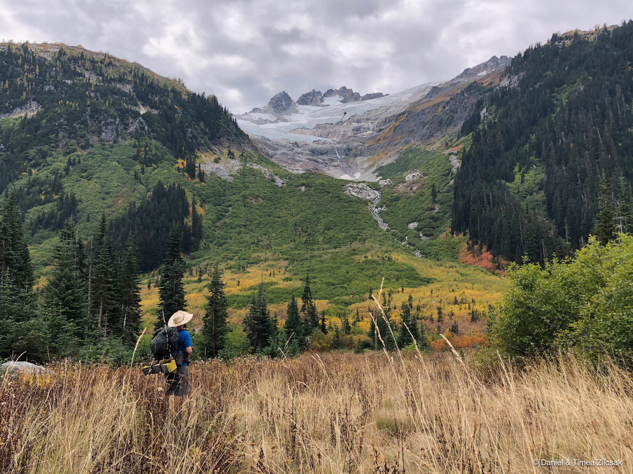
After walking along the Napeequa River for about 4.5, we started our 2,000 ft. accent towards Little Giant Pass. Let me tell you that Little Giant Pass is more giant than little. And while the views kept us busy talking pictures, the trail kept us focused to the maximum as there were a few sketchy zones where there was no room for mistakes, especially if the ground would be wet.
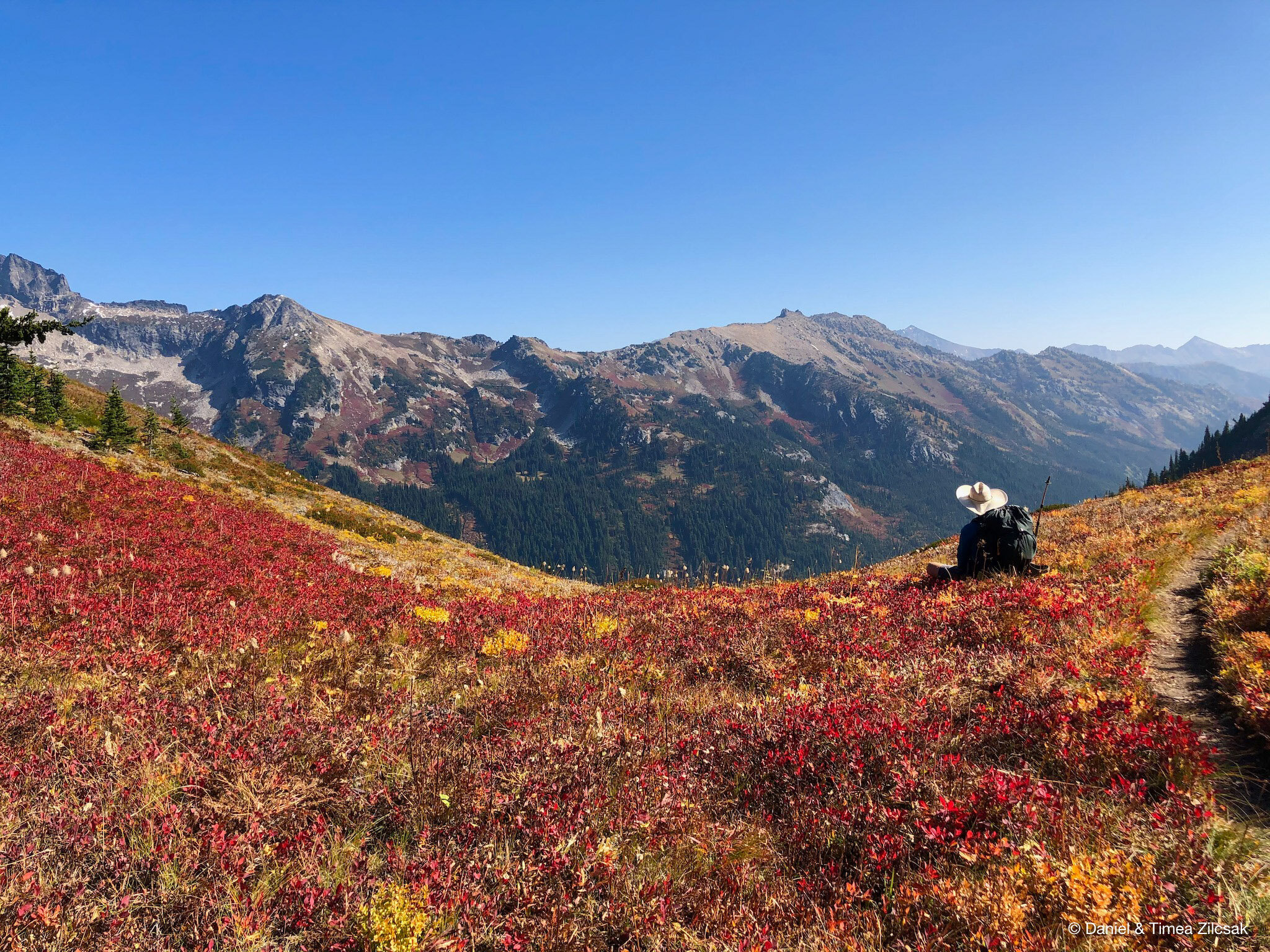
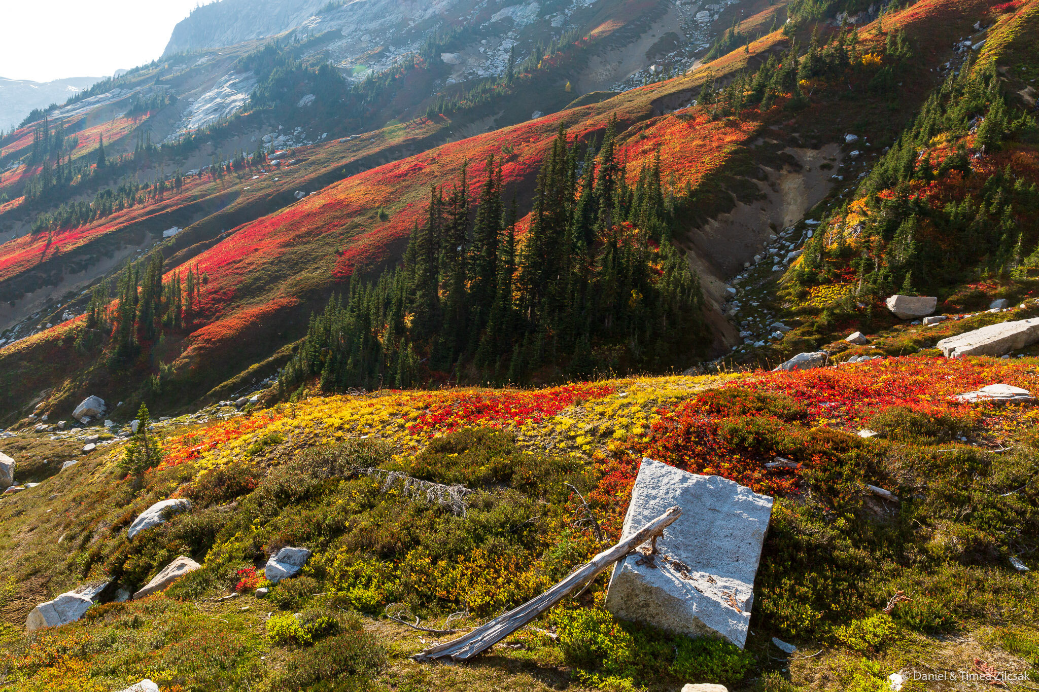
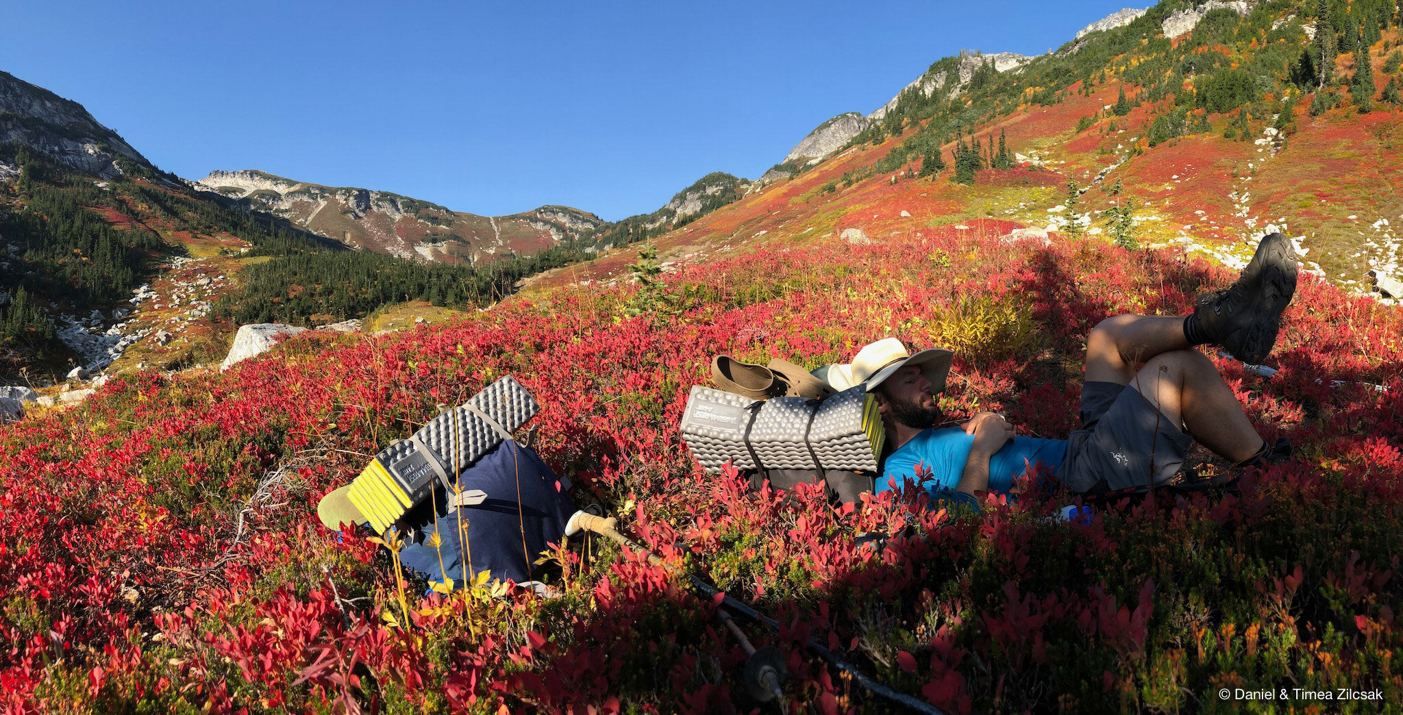
We hoped we could camp at the pass, therefore we carried water from about a mile away. When we got there, though, it turned out the camp was only large enough for a small tent, which was not enough for us (having 2), and also pretty exposed to wind. But this was nothing to be sad about as we found another camp, larger and sheltered, about half a mile on the other side of the pass. This other place was surrounded by tons of blueberries, which we took our time enjoying before dinner.
Day 4: Little Giant Pass to Trailhead at Chiwawa River Crossing
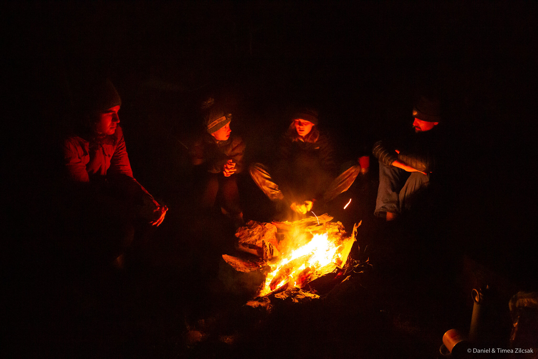
The night was cold and loud. A wind that has started around 11pm didn’t stop until early morning, but we could not be happier when we woke up with it completely gone and with the most colorful view we have seen in a while.
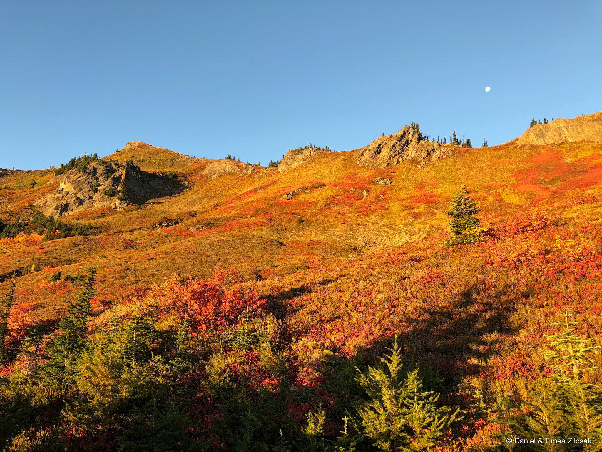
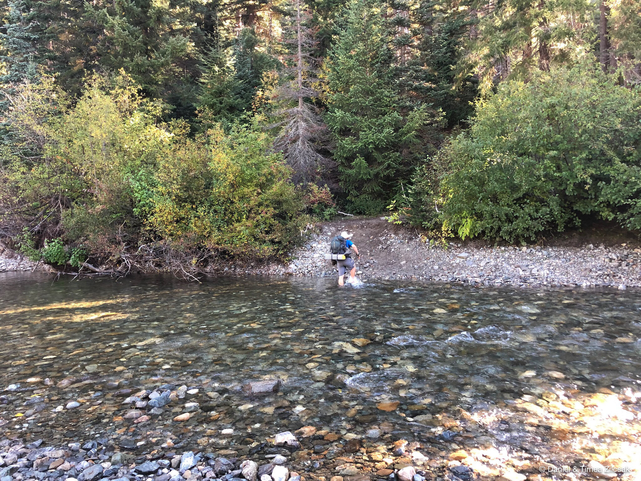
After enjoying the majestic views in the warm morning light, we packed up and headed down. The blueberry meadows kept us entertained almost the whole way to the bottom of Little Giant. With the sun as our bacon, we quickly found ourselves at the end of our journey and crossing the chilly Chiwawa River right next to the trailhead.
This trip will stay with us for many many years to come! We loved every step and every breath we took while enjoying the endless colorful views of these majestic mountains, meadows, and valleys!
Happy hiking!