
Backpacking Spider Gap and the Glacier Peak Wilderness

Join us on this wonderful 7-day trip around Glacier Peak Wilderness from Phelps Creek through Spider Meadows and up Spider Gap, Lyman and Image Lakes, Cloudy and Suiattle Passes, Miners Ridge and Meadows, Miners Fire Lookout, Sheep Camp, and Buck Creek Pass.
Those were just some of the places we have seen, but Glacier Peak Wilderness comes with lots of backpacking and day hike options, ones that will make your heart beat faster, not because of the hard work, but more so because of the endlessly beautiful views of high peaks with white glaciers, green forests, colorful meadows, turquoise lakes, and cold clear creaks.
Approx. 50 miles loop, 8,700 ft elevation gain. Green Trail Maps: Holden No. 113 & Glacier Peak No. 112. Start Trailhead: 48.08287, -120.83488. End Trailhead: 48.07210, -120.85087.
Our Day-by-Day Itinerary
Day 1: Phelps Creek trailhead to Phelps Basin
Day 2: Phelps Basin over Spider Gap and down to Lyman Lakes
Day 3: Lyman Lakes over Cloudy and Suiattle passes and up Miners Ridge to Image Lake
Day 4: Second day at Image Lake with day hiking to the Miners Fire Lookout Tower and the ridge above Image Lake
Day 5: Image Lake down Miners Ridge into the valley and up to Sheep Camp
Day 6: Sheep Camp to Buck Creek Pass
Day 7: Buck Creek Pass to trailhead at Trinity
Read on for the full account of our trip, accompanied by lots of photos.
Day 1: Phelps Creak trailhead to Phelps Basin
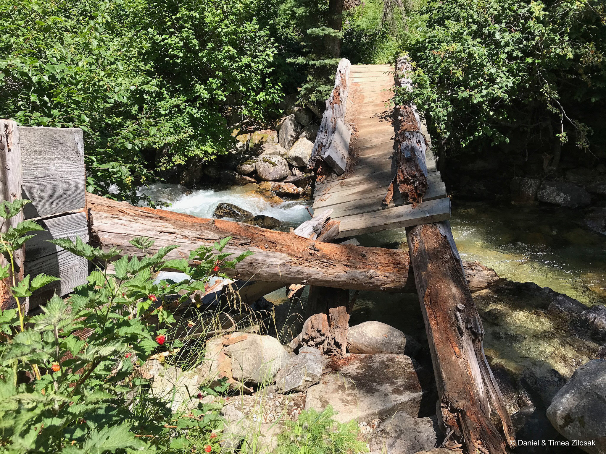
On our first day we drove from Seattle to the Phelps Creek trailhead where we started our journey. Hopping across a few creeks under the thick canopy of large trees, we emerged fairly quickly at the flowery Spider Meadow.

Hiking Spider Meadow near the Spider Meadow Camps
We decided to not stop at the Spider Meadow campsites and instead to continue and try to find a camp higher. We wanted to be closer to Spider Gap the following day.
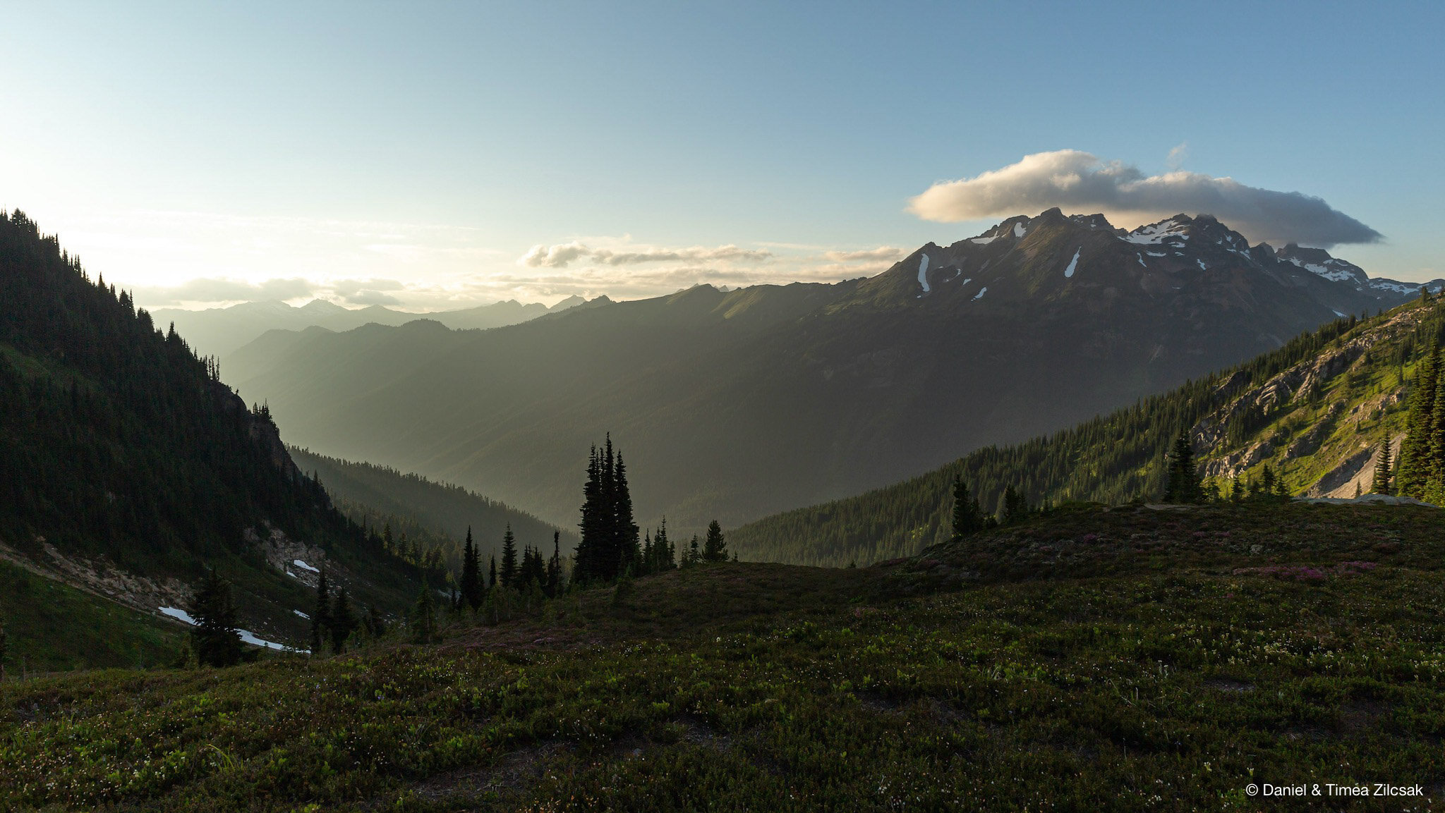
The trail got steeper and, at a junction of 5,300 ft., we decided to check out Phelps Basin. About 300 yards into the off-shoot trail, we found a great campsite with this majestic view (5,400 ft. approx. camp elevation).

Our first camp at Phelps Basin - 5,400 ft. elevation - Backpacking Spider Gap
There are two camp spots in this area, one on each side of the creek and there are plenty of water sources nearby. In fact, this camp is right next to Phelps Creek.

Phelps Creek Basin - Backpacking Spider Gap
Day 2: Phelps Basin over Spider Gap and down to Lyman Lakes
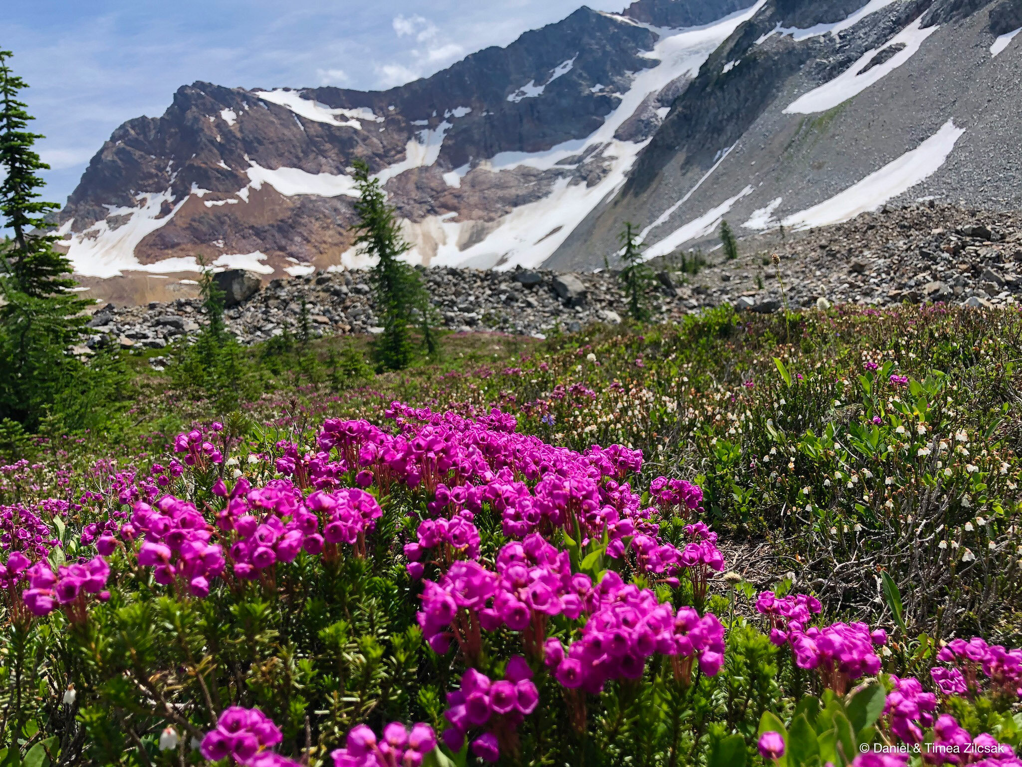
Our second day was full of excitement because we would get to see Spider Gap and the weather was just perfect. That first part of the climb was steep and we still had seven days worth of food loaded in our backpacks. We knew this was not going to be easy, but the scenery offered a lot of opportunities to stop, take a breath, and admire the views.
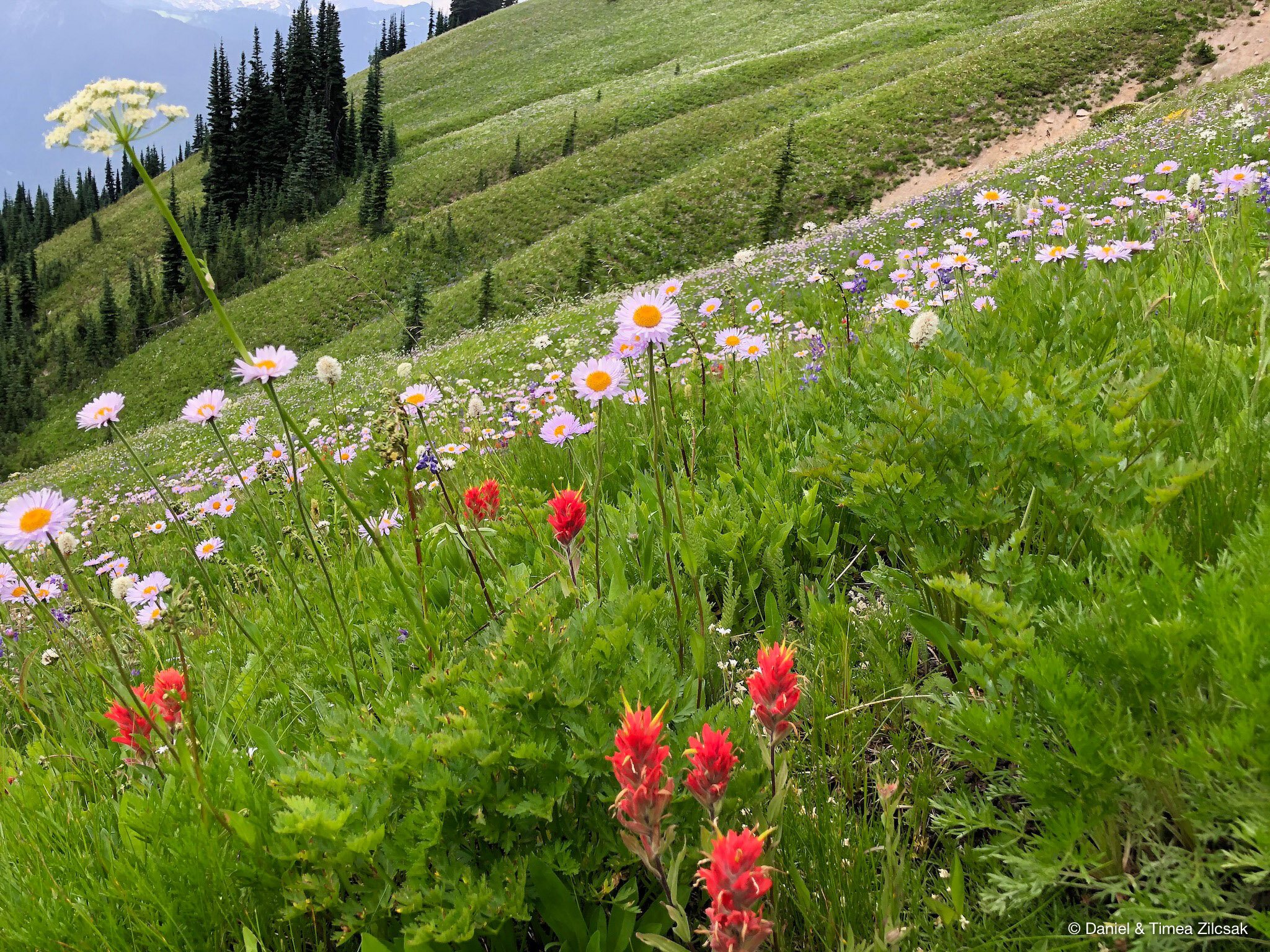
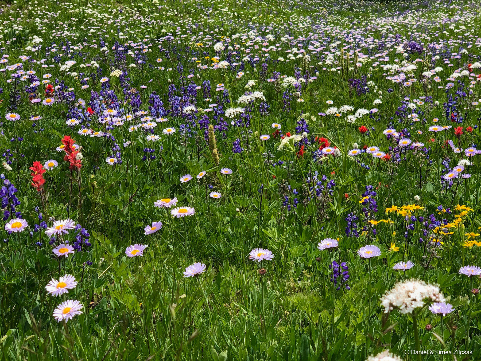
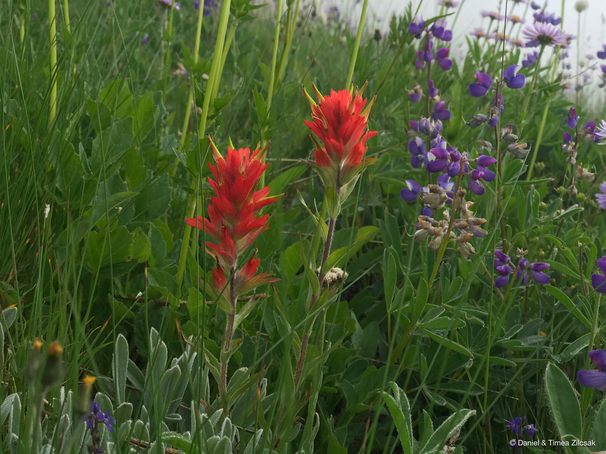
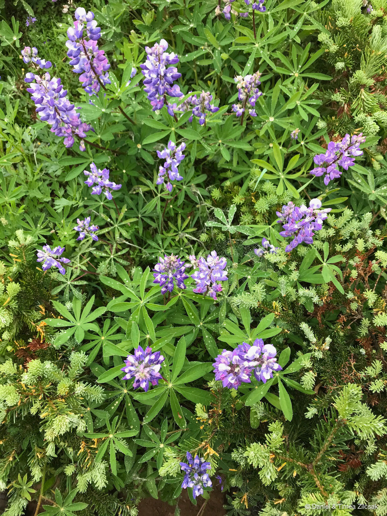
Flowers were in full bloom and this was just the beginning. The entire trip turned out to be, after all, a flower extravaganza.

Beautiful flowers on our way to Spider Gap

Beautiful flowers on the trail to Spider Gap

Steep ascent hiking up to Spider Gap
The view into the Spider Meadow valley was spectacular! Camp sites are right at the end of that grassy patch, down at the bottom.

Spider Meadow seen from the trail below Spider Gap
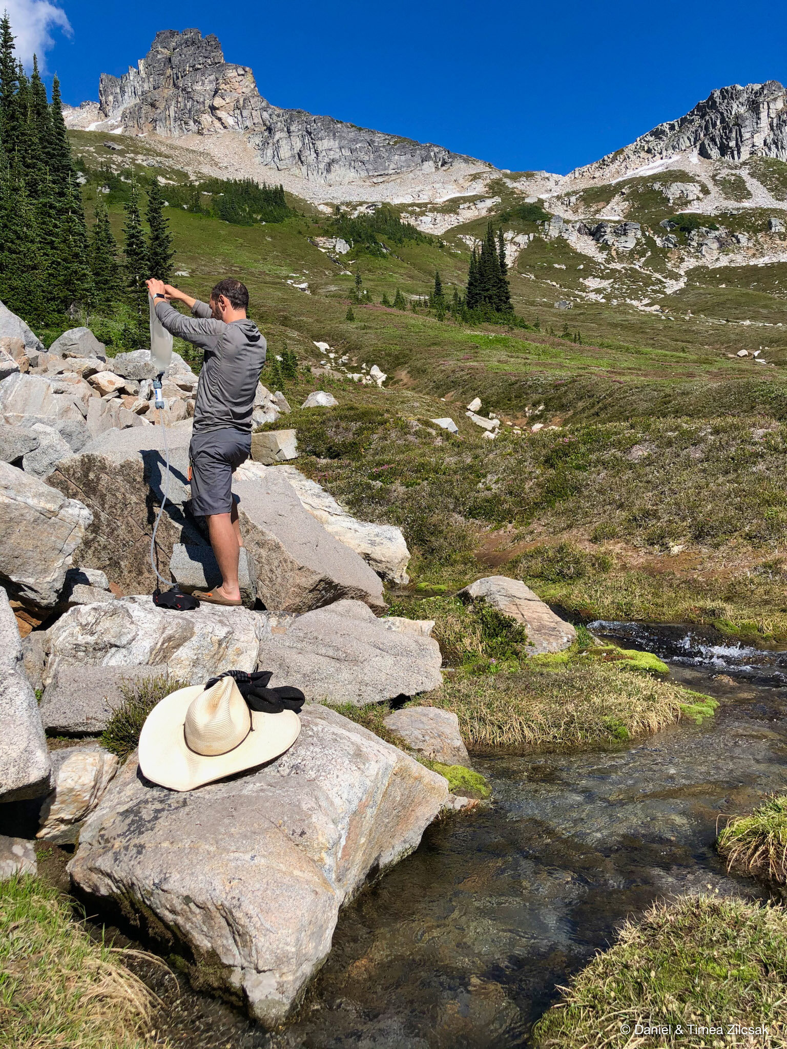
With a slow and steady pace we eventually reached the bottom of the Spider Gap snowfield. Here we stoped for a short break, a snack, and to filter some water.

Good spot to filter water before starting the hike up the snowfield - Backpacking Spider Gap

Taking a good look at the Spider snowfield before stepping on it
Our excitement continued when starting going up the snowfield. In more difficult conditions some prefer to have crampons and ice axe, but that day, the snow was soft and we felt very comfortable with only our boots and poles. The walk up the snowfield was deceivingly longer than it first seemed, especially on a hot day like we had, but we eventually reached the top.

Hiking up the Spider Gap snowfield

Hiking up the Spider snowfield
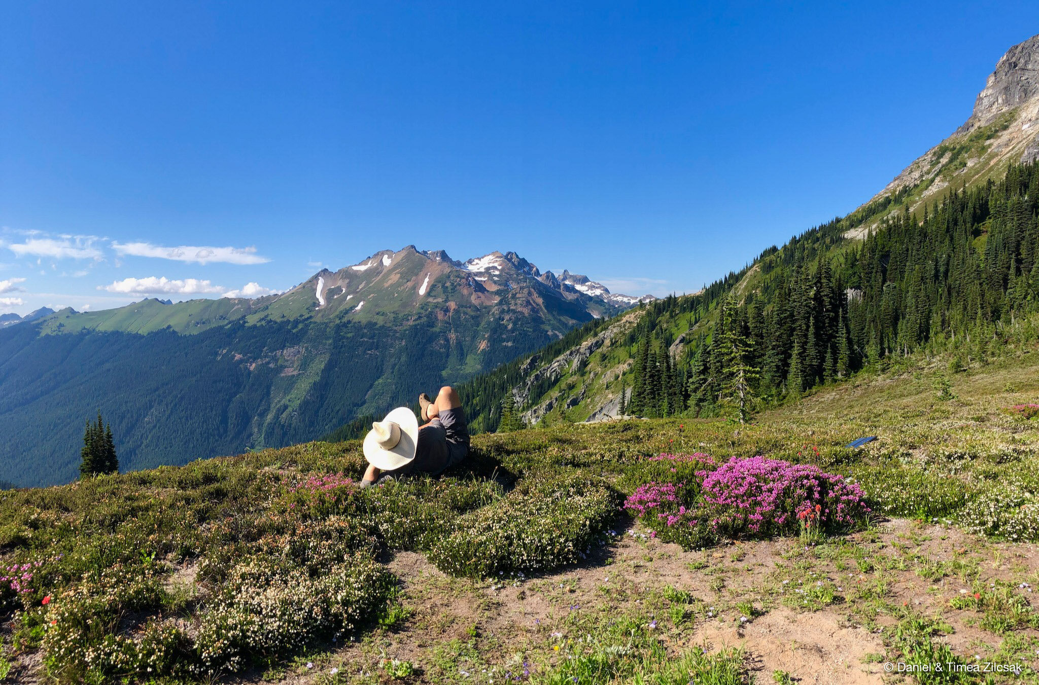
Before the last hundred or so feet, we hopped on the rocks to the right for a look back into Phelps Basin and Spider Meadow.

A short brake going up the Spider Snowfield looking down Phelps Basin and Spider Meadow
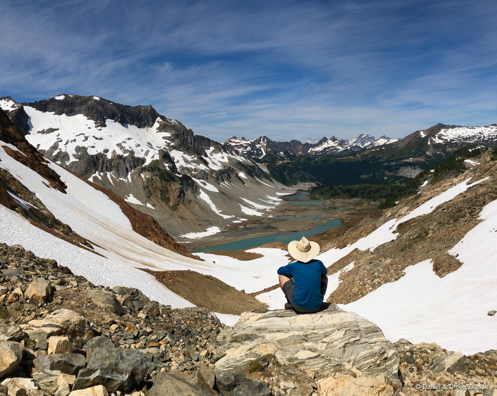
Then, we continued and reached Spider Gap where we got our first look onto the other side, towards Lyman Lakes.
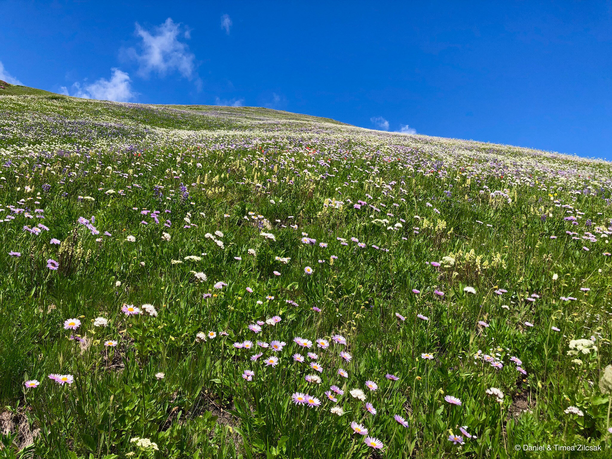
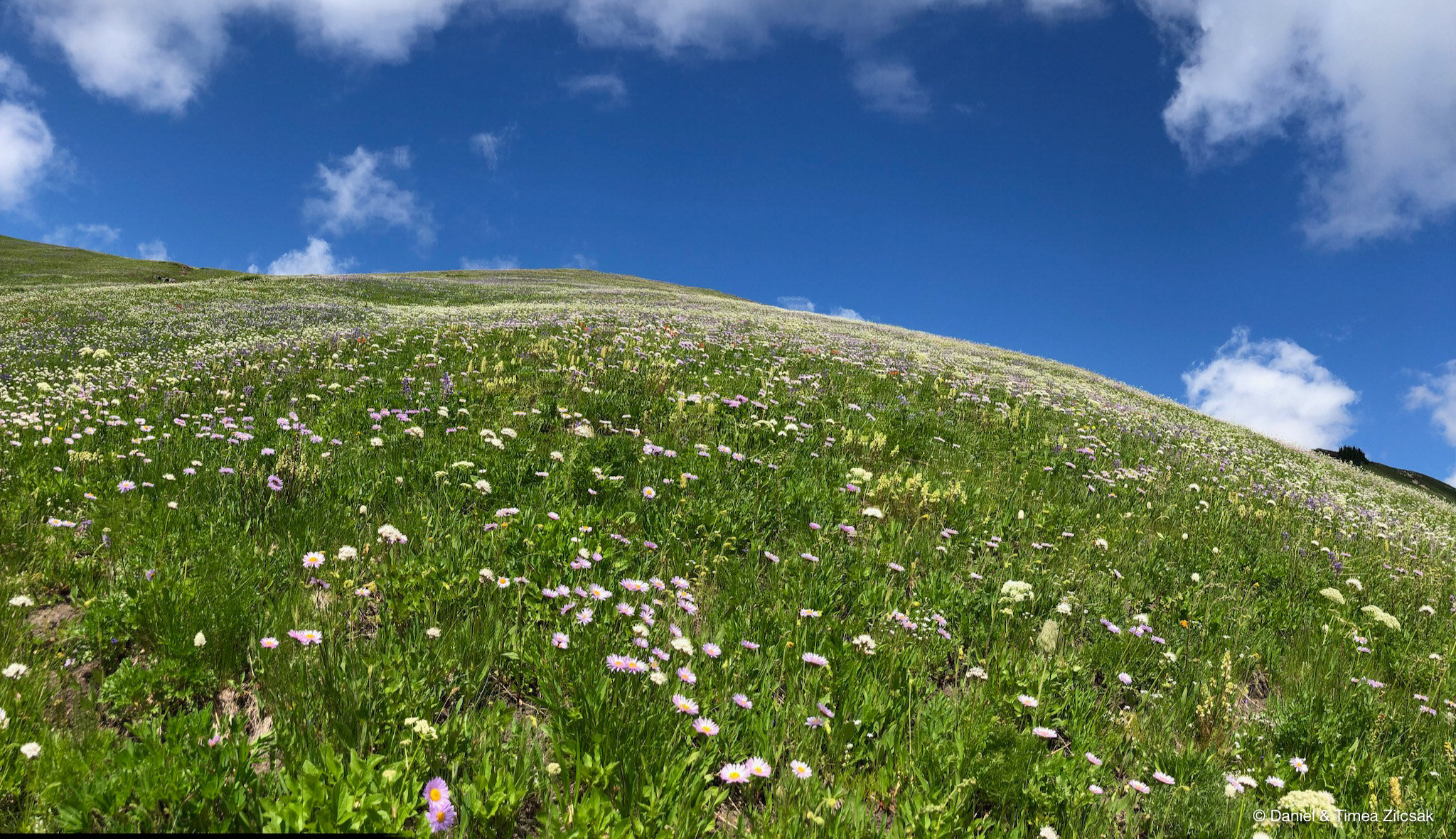
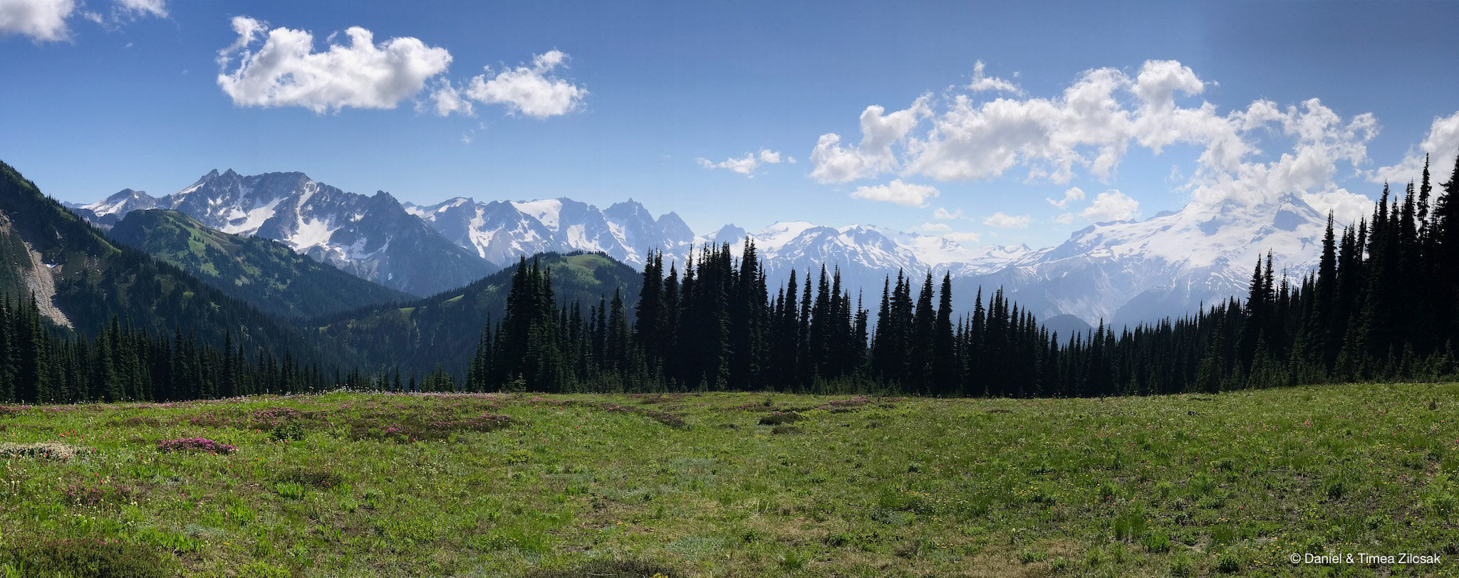
The views of the Upper Lyman Lakes are worth the effort of every step up to this point! Enjoy the next gallery of photos, we could not decide on only a couple so we added a handful, not only of the lakes, but the trail through the rocky terrain down below.
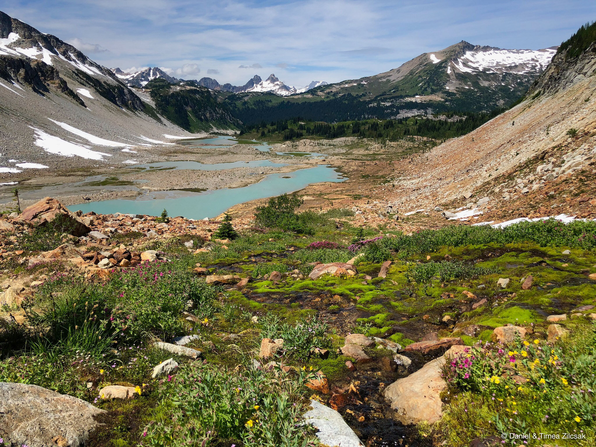
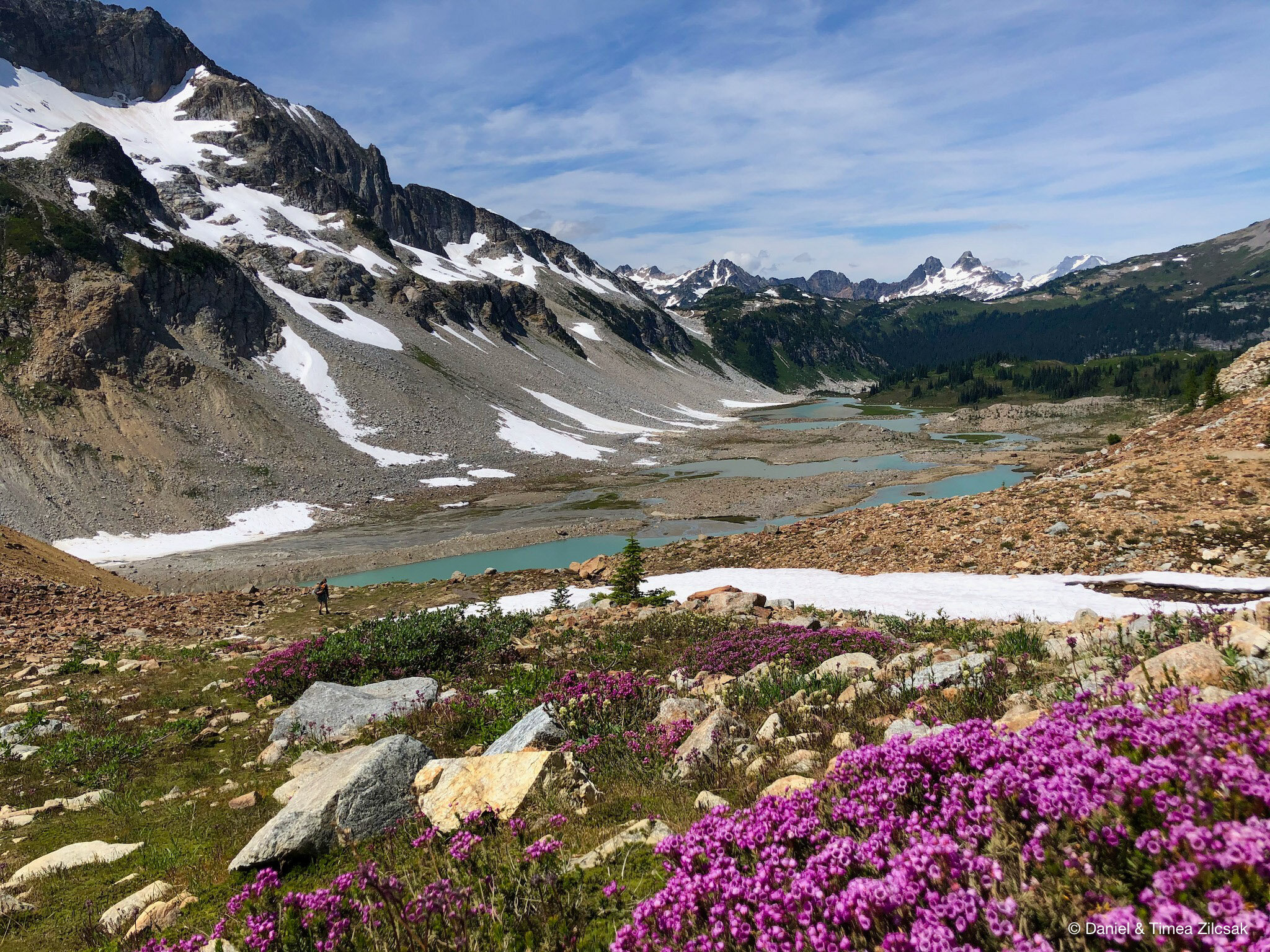
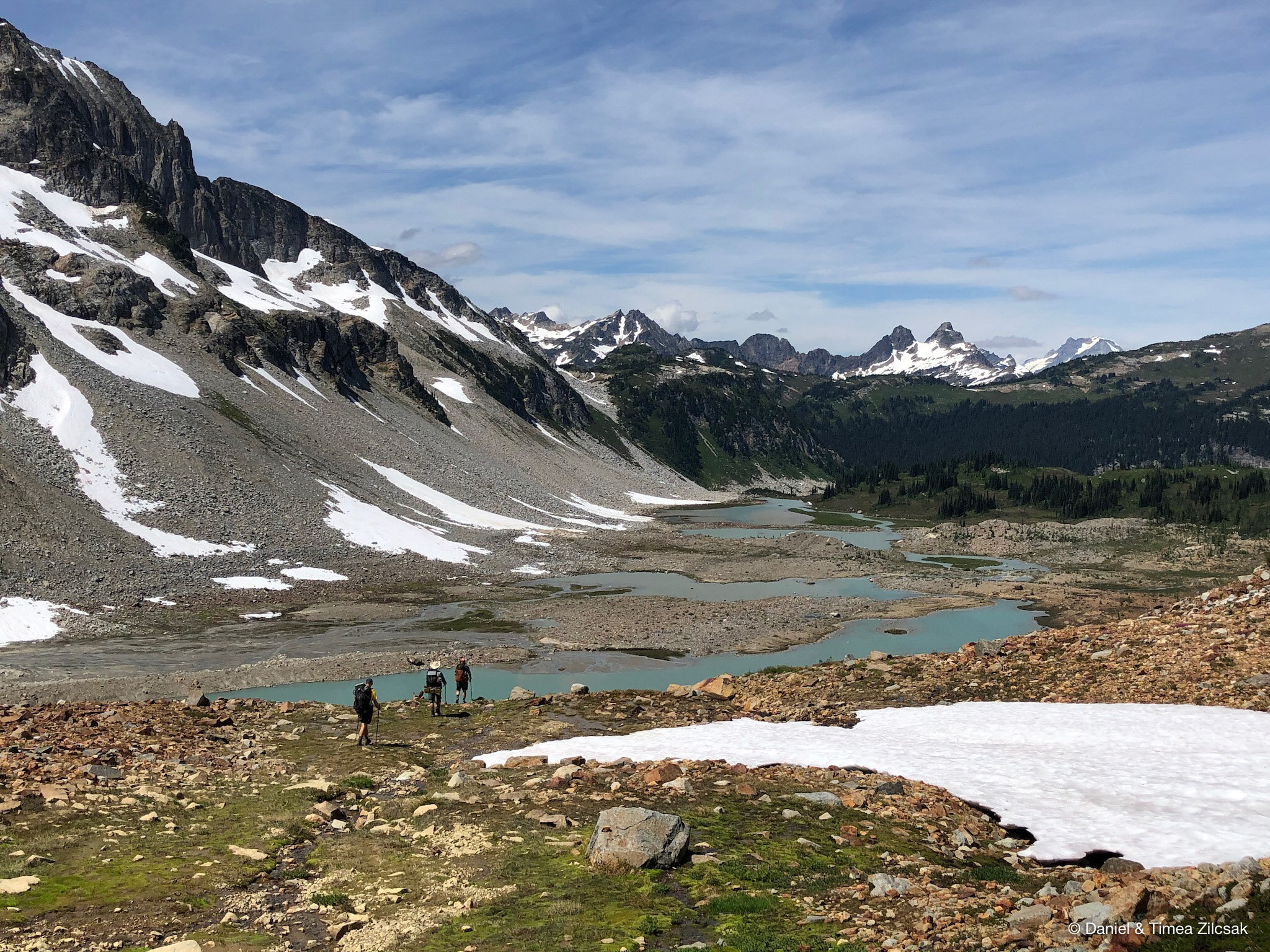
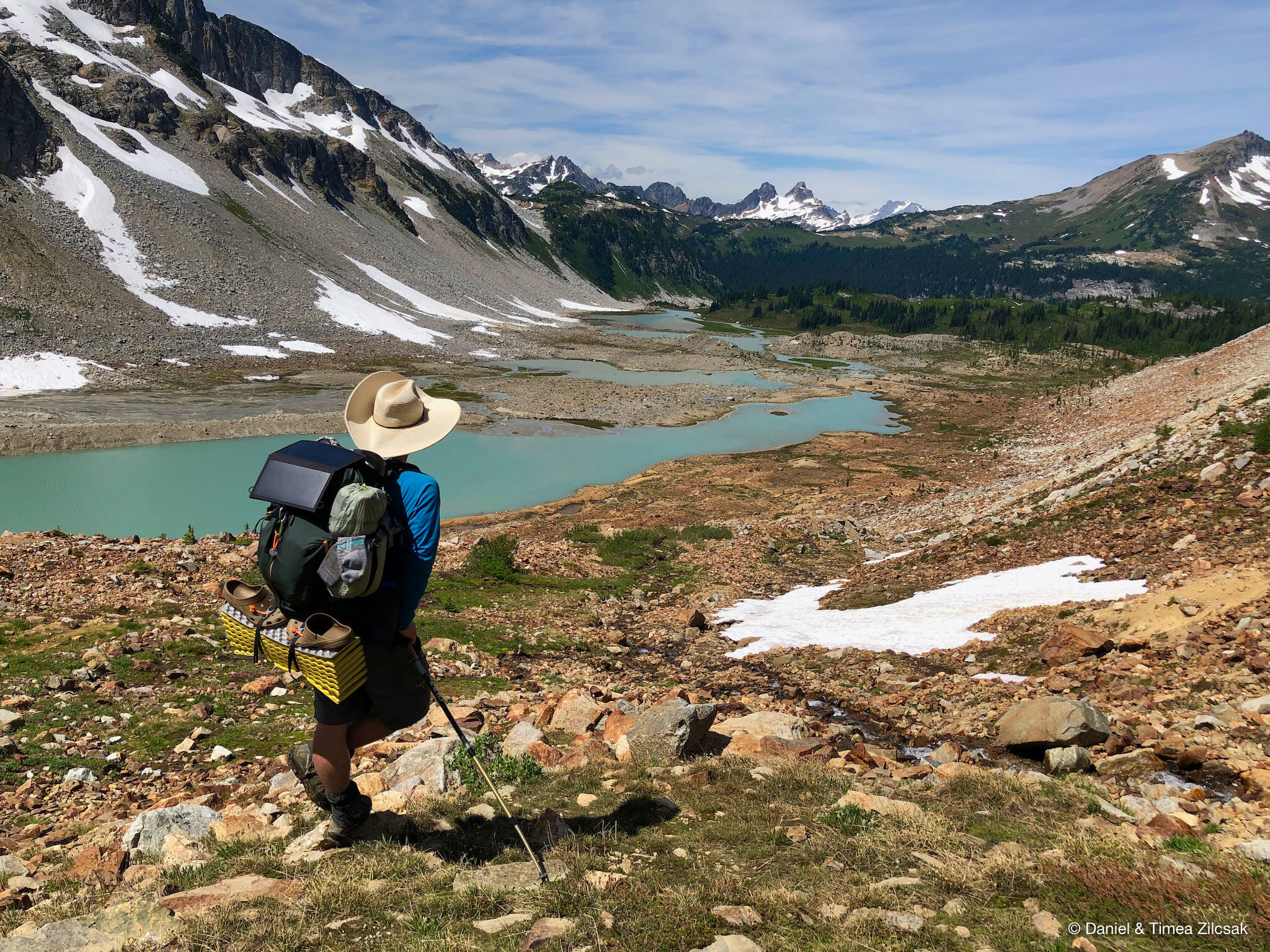
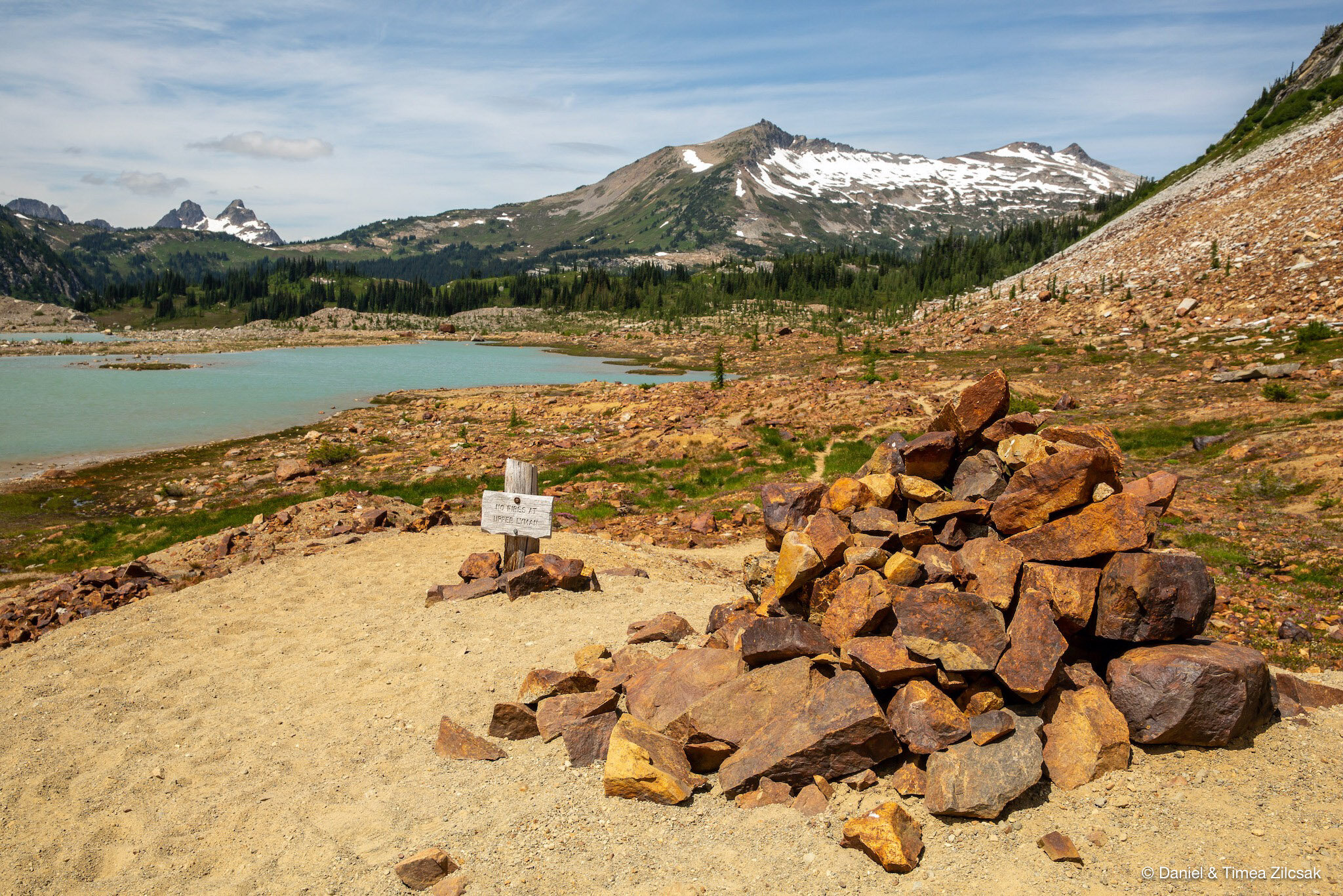
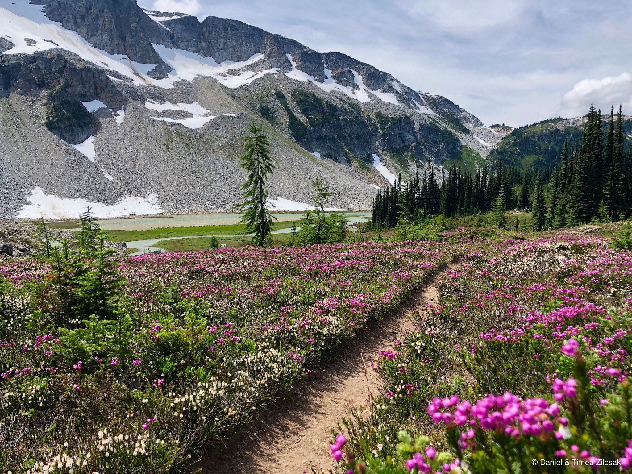
Despite passing an excellent campsite at Upper Lyman Lake, we decided to camp at Lower Lyman, so we could be closer to Cloudy Pass. The hike down to the lake goes through beautiful meadows, with lots and lots of flowers.

Hiking down to Lower Lyman Lake - Backpacking Spider Gap
Our dinner was complemented with delightful views of the mountains around Spider Gap!

Dinner spot at Lower Lyman Lake looking towards Spider Gap
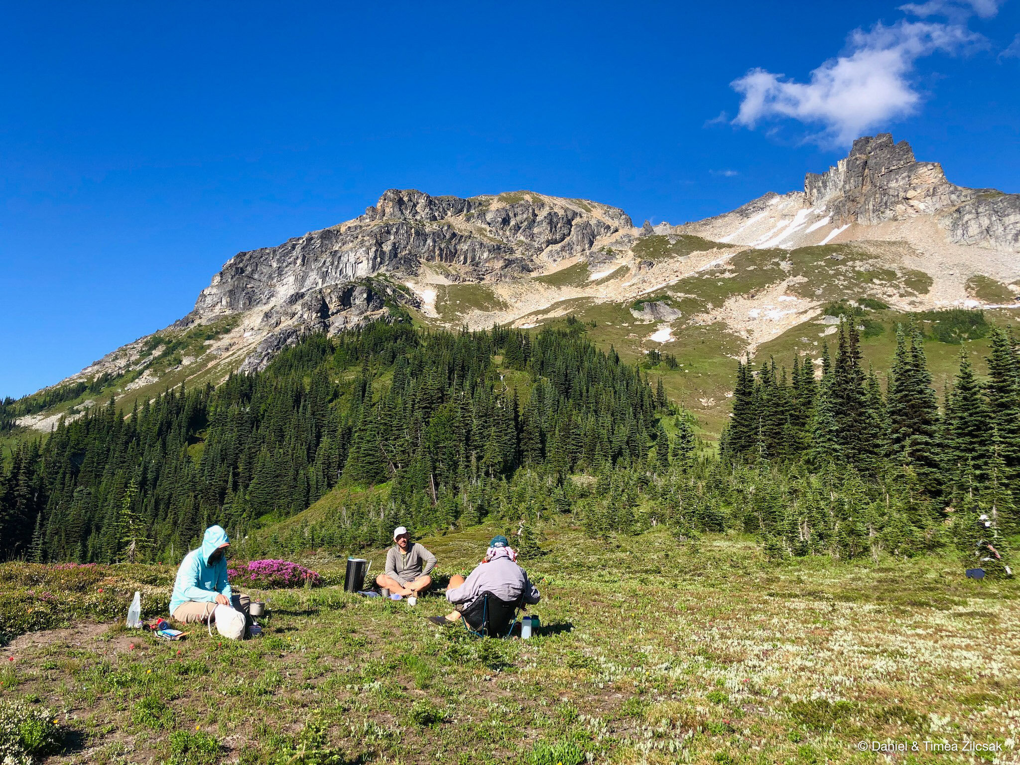
Day 3: Lyman Lakes over Cloudy and Suiattle passes and up Miners Ridge to Image Lake
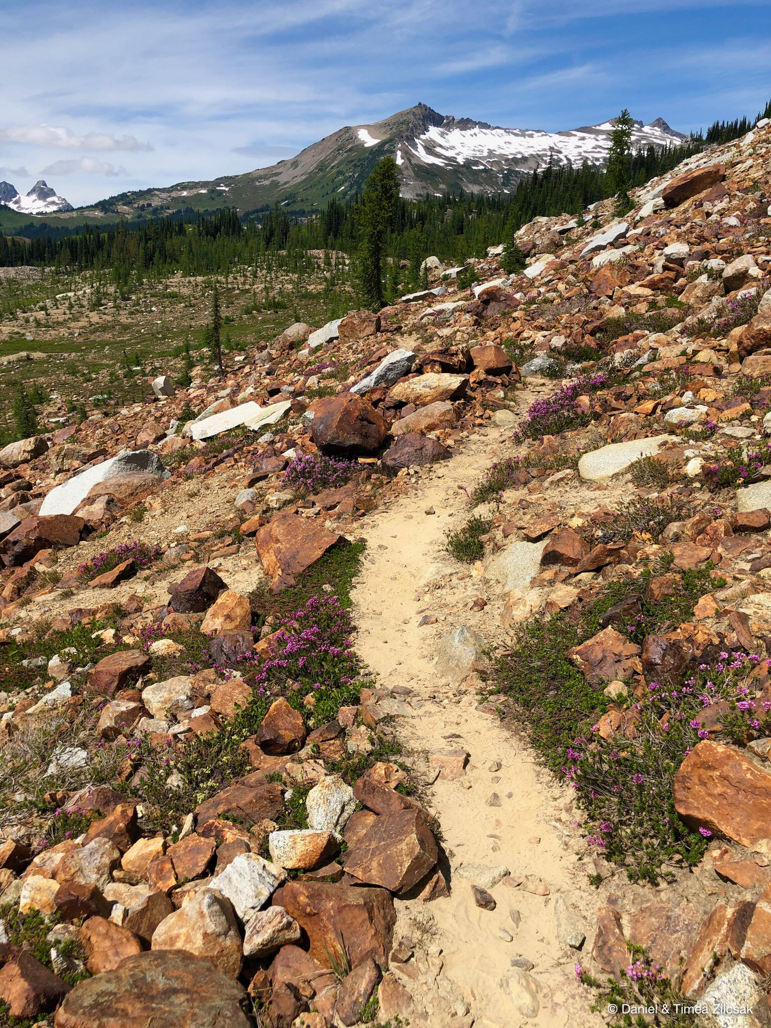
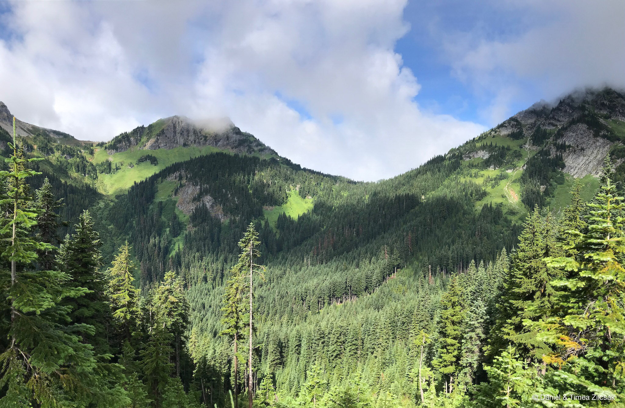
The rain and thunder forecast prompted us to start the day early so the two passes, Cloudy and Suiattle, will not surprise us with some unwelcome lightning. The trail up to Cloudy Pass goes through some more meadows with gorgeous views of Lyman Lakes and Spider Gap.

View from Cloudy Pass of Lyman Lakes and Spider Gap

Hiking below Cloudy Pass, coming from Upper Lyman Lake - Backpacking Spider Gap
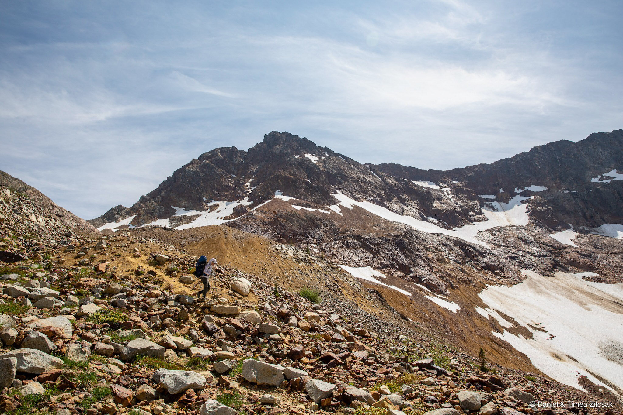
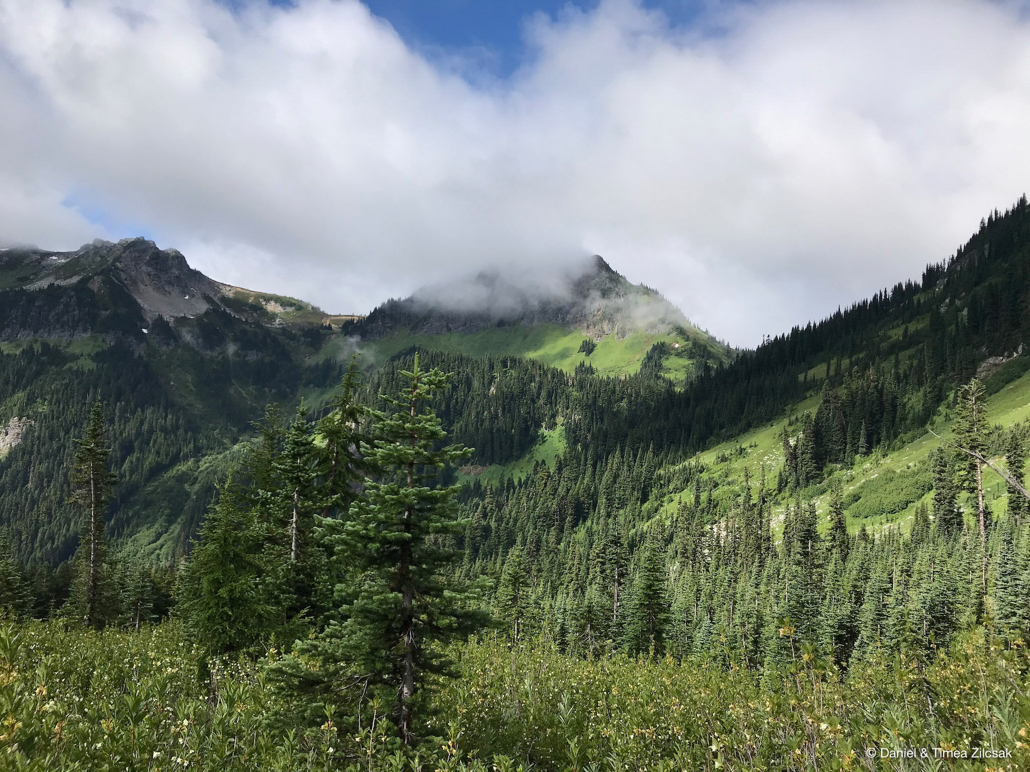
From Cloudy Pass to Suiattle Pass there are 2 routes, one that is more direct and stays at higher elevation, not preferred when snow is still on the trail. The other route is longer with some elevation loss and then gain, but preferred when the higher route is still covered in snow. We took the higher route as the trail was snow free.
View to the north from the upper trail between Cloudy and Suiattle Pass - Backpacking Spider Gap
At Suiattle Pass the trail intersects the PCT. Our route kept us on PCT only for a little while until we turned east towards Image Lake. The trail here is pretty flat for about 1.5 miles after which it climbs fast on a series of switchback all the way to Lady Camp.

At the junction of PCT and Miners Ridge Trail - Backpacking Spider Gap
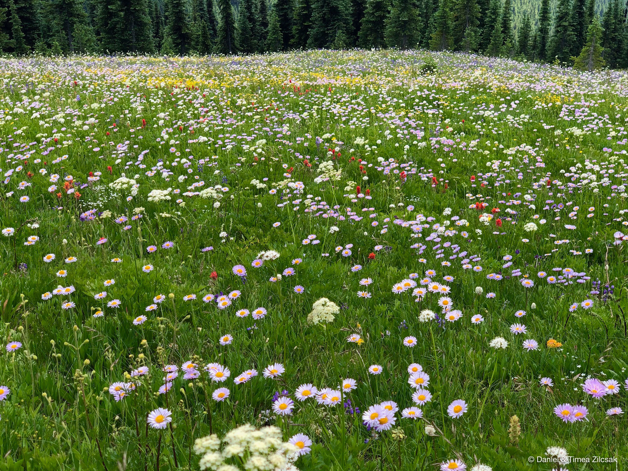
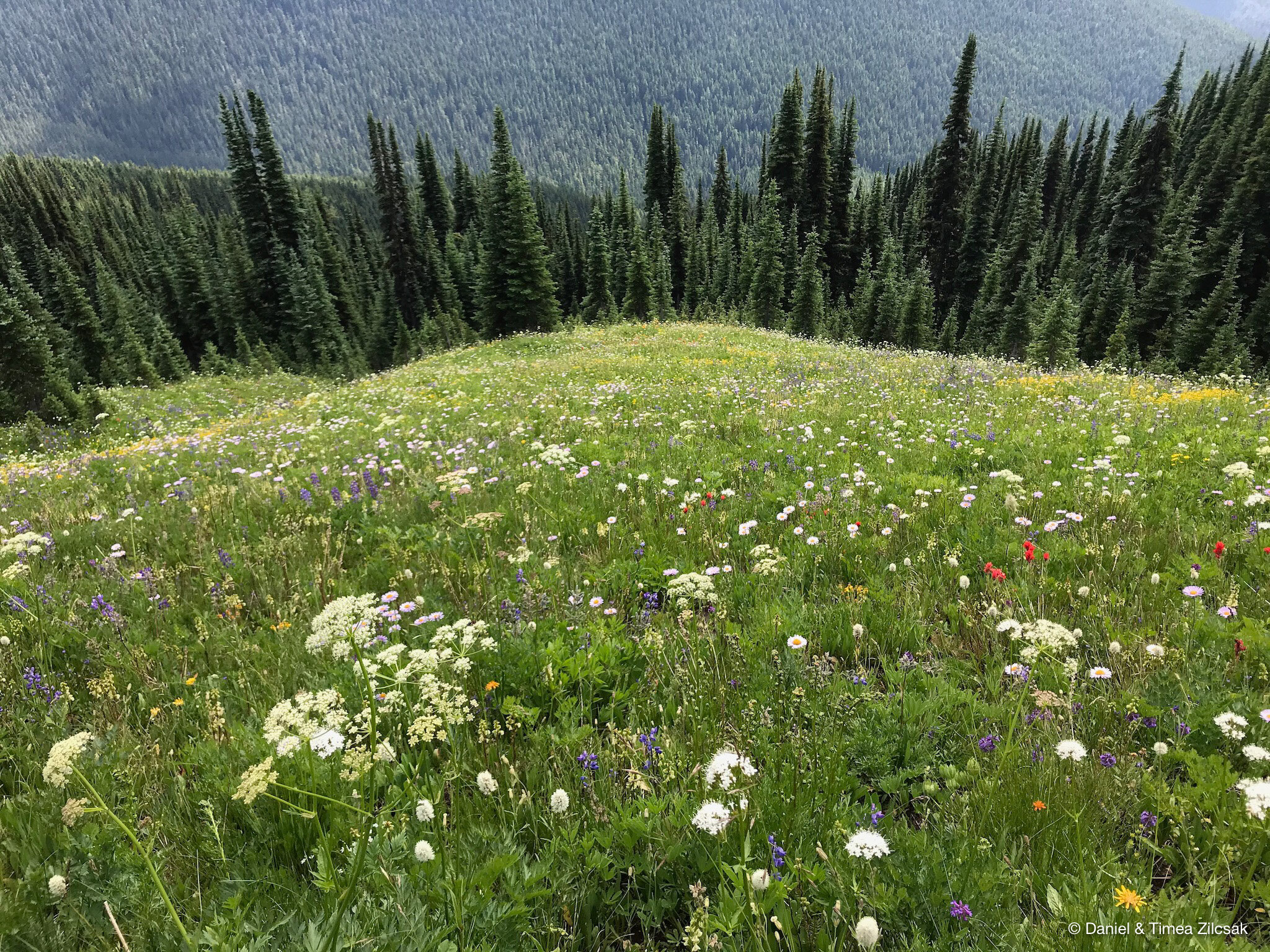
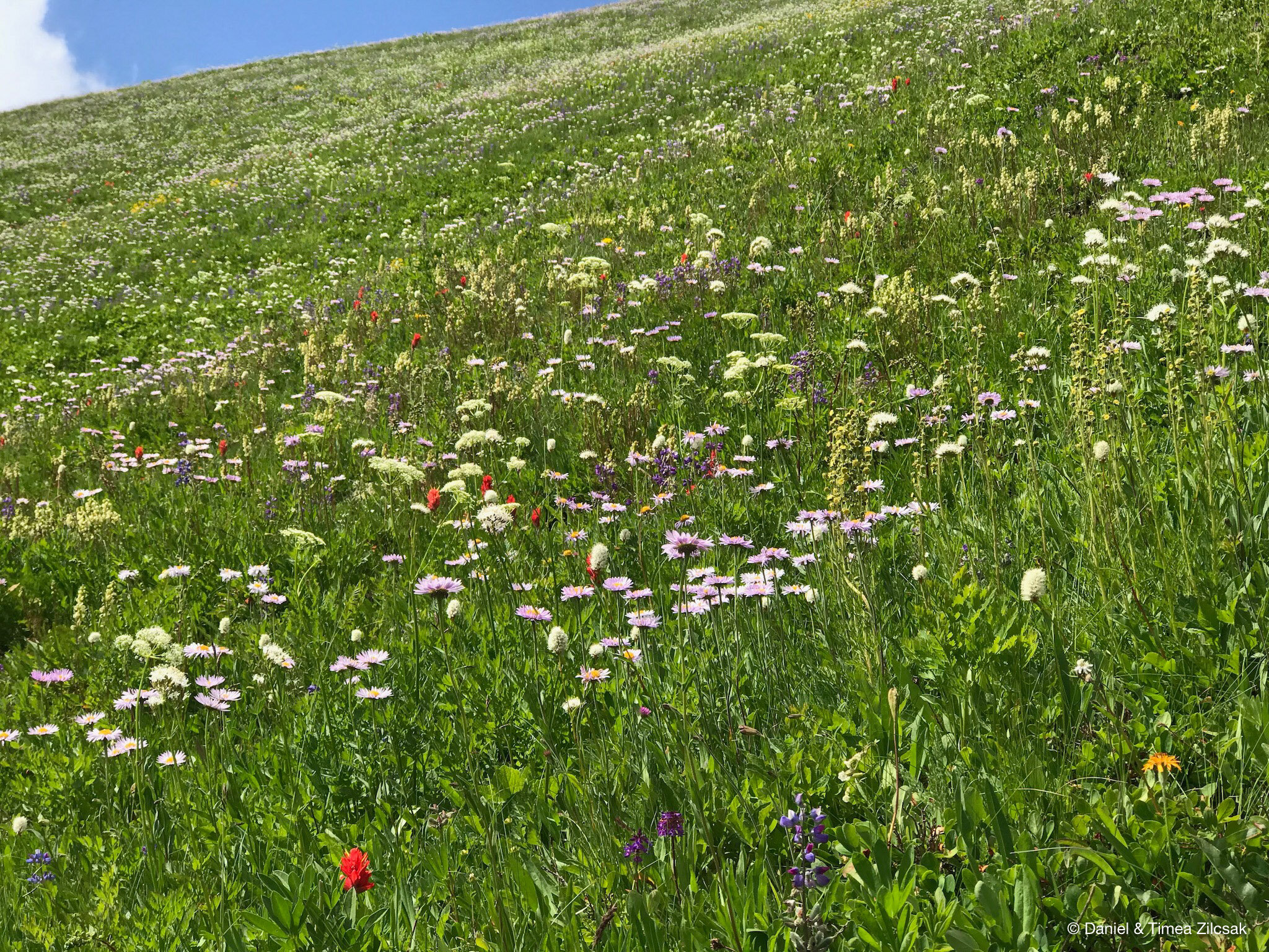
The trail from Lady Camp to Image Lake is one that is very hard to describe in words, or pictures, or videos. You must go and see it with your own eyes. Enjoy the next few pictures with what I call “Heaven on Earth”!
Day 4: Second day at Image Lake with day hiking to the Miners Fire Lookout Tower and the ridge above Image Lake
On all of our long backpacking trips, we always plan to take a zero day somewhere in the middle. So, for this one, we decided that the best day would be at Image Lake because the area around it has many opportunities for day hiking. We chose to take a short hike to the Miners Fire Lookout Tower and then walk on the ridge above the lake.

Miners Fire Lookout Tower with Ranger Josh on duty - teacher that volunteered to spend the summer up here!

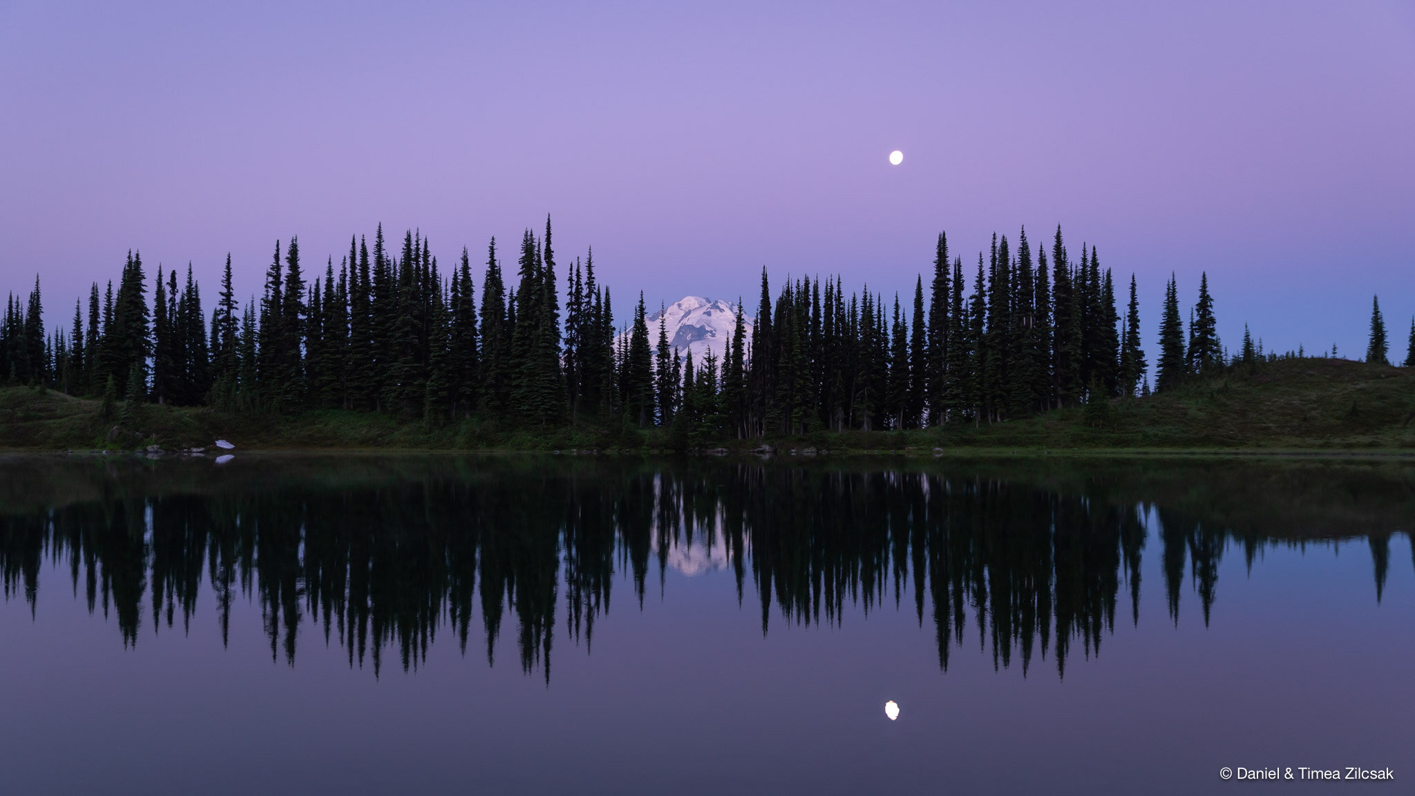
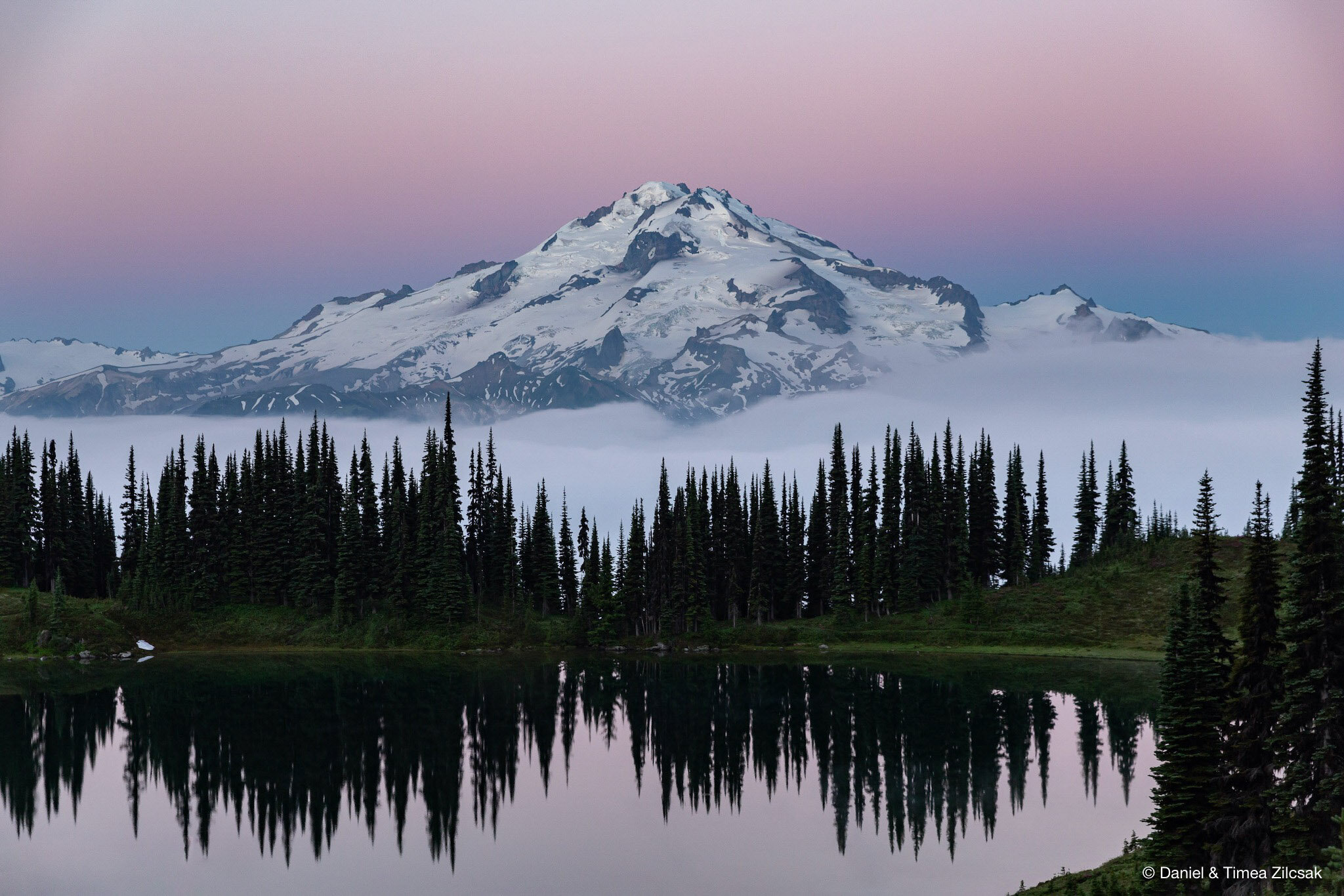
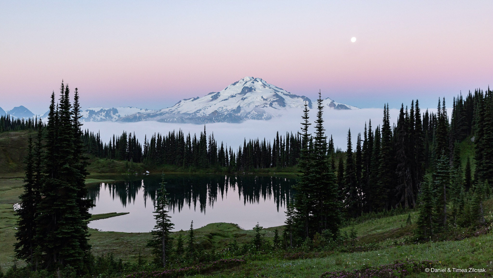
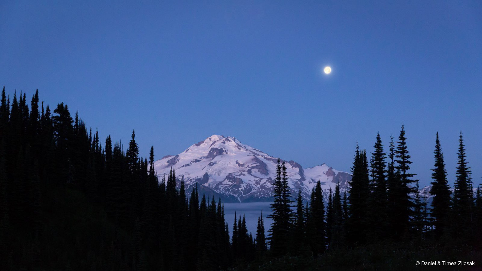
Spectacular view of Glacier Peak behind Image Lake - Backpacking Spider Gap
Swimming in the lake or just soaking in the sun is always a good choice for a zero day. We didn’t try nearby Plummer Mountain, but we heard from others that it is a nice scramble. Life is good no mater what you choose to do outdoors!
While everybody was still asleep, myself included, Daniel sneaked out of the tent into the morning light and captured some beautiful shots of Glacier Peak over Image Lake. Here they are.
Day 5: Image Lake down Miners Ridge into the valley and up to Sheep Camp
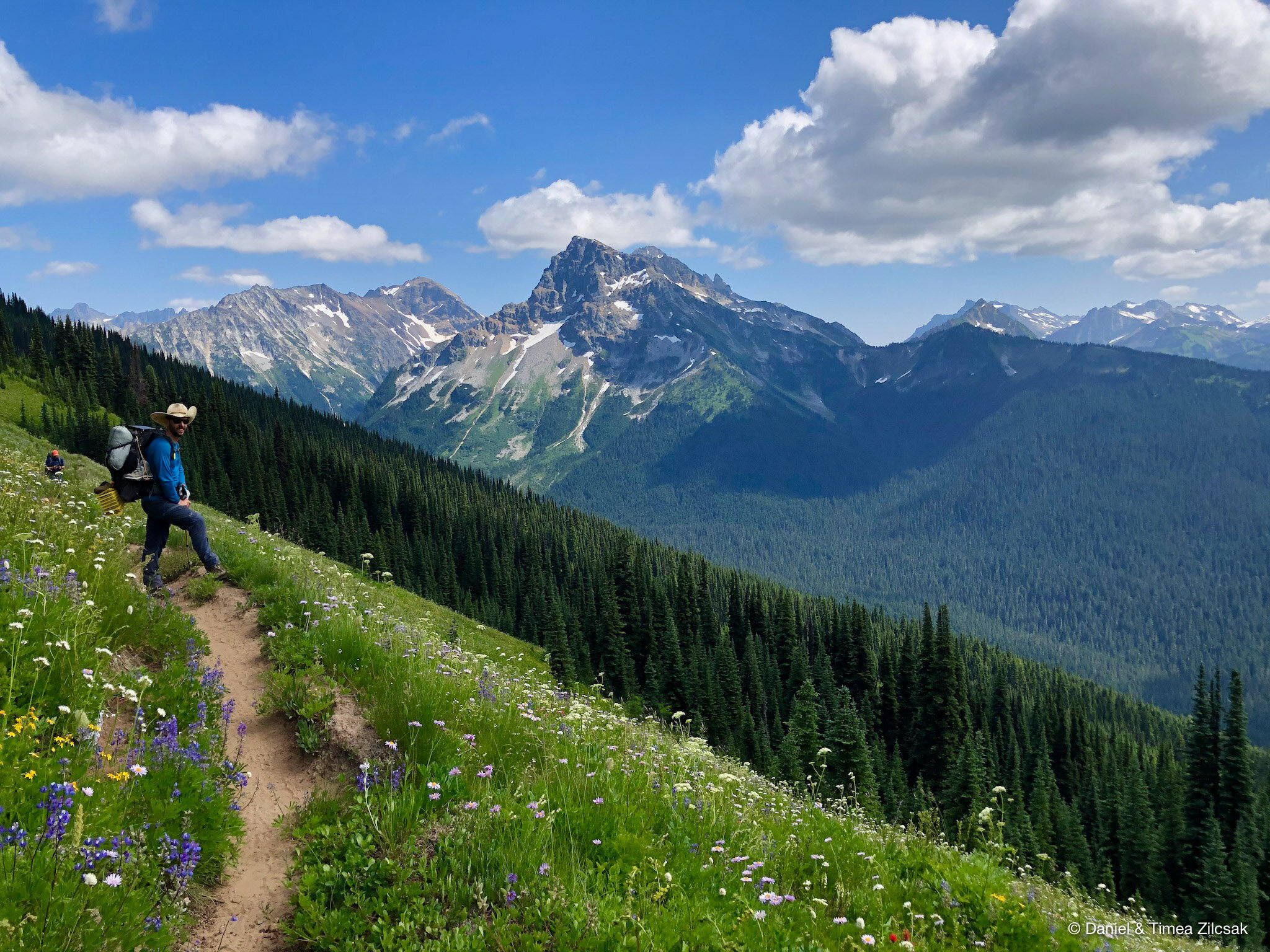
After two days at Image Lake, our 5th day was planned to be the longest one. We were heading over to Buck Creak Pass. The weather was great, the trail was in good condition and we were in good shape!
We backtracked all the way across the meadows to the PCT, then down into the valley and up towards Buch Creek Pass. But before we got there, at a junction a few miles below the pass, like any other bunch of curious explorers, we all decided to do a short detour and check out this one camp about 1 mile off the main trail: Sheep Camp. There was no disappointment! Once we arrived in camp, the views were, once again, just breathtaking! We decided to spend the night here!
Day 6: Sheep Camp to Buck Creek Pass
On the 6th day we woke up and got surprised by the weather change. First, it came with some fog, then a light drizzle, followed by heavy rain and wind. We broke camp while still in the light drizzle, never thinking that by noon when we were planned to arrive at Buck Creek Pass the rain will become heavy and the temperature will drop while the winds will get stronger. The forecast was calling for something a lot less dramatic.
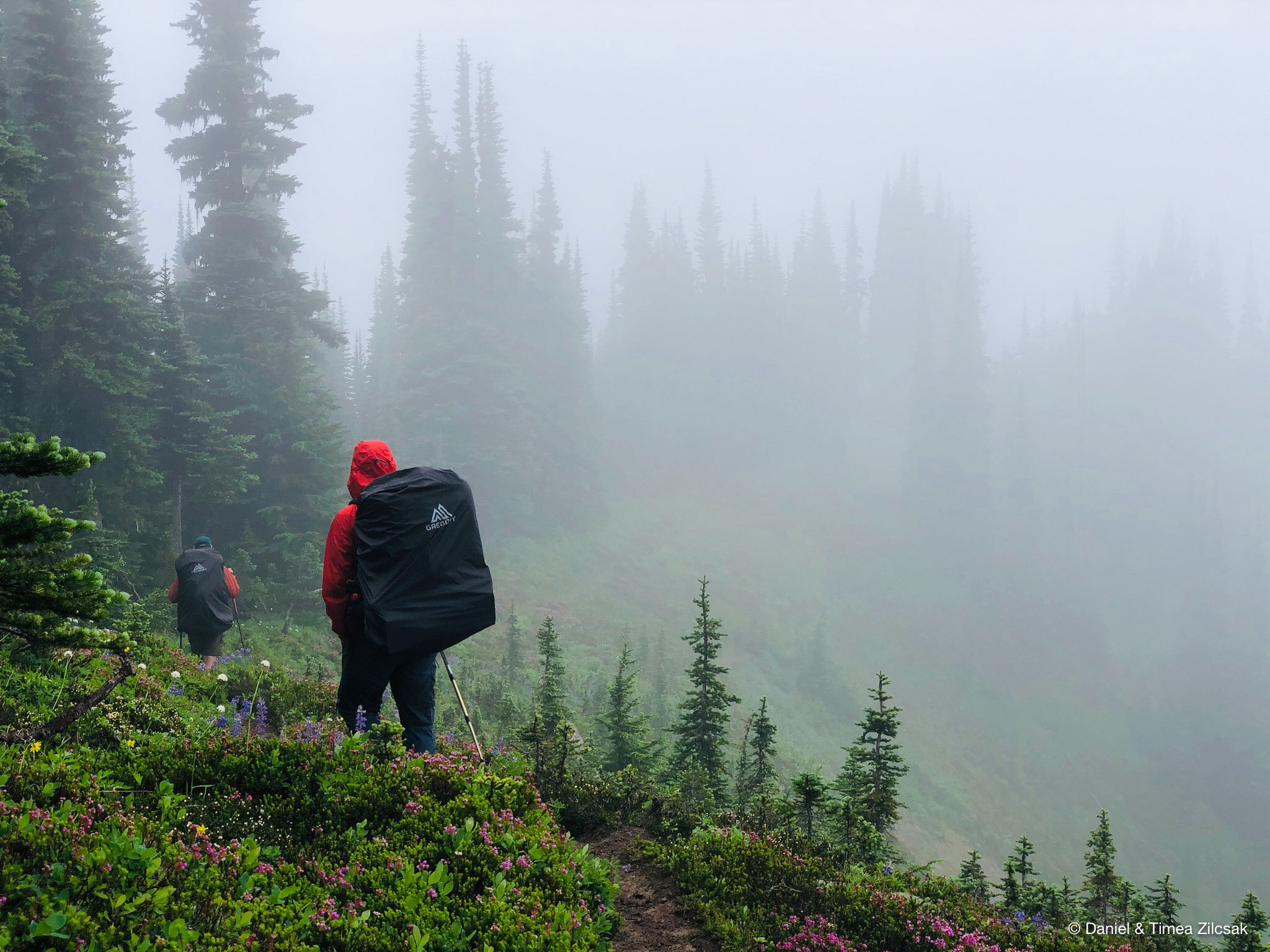
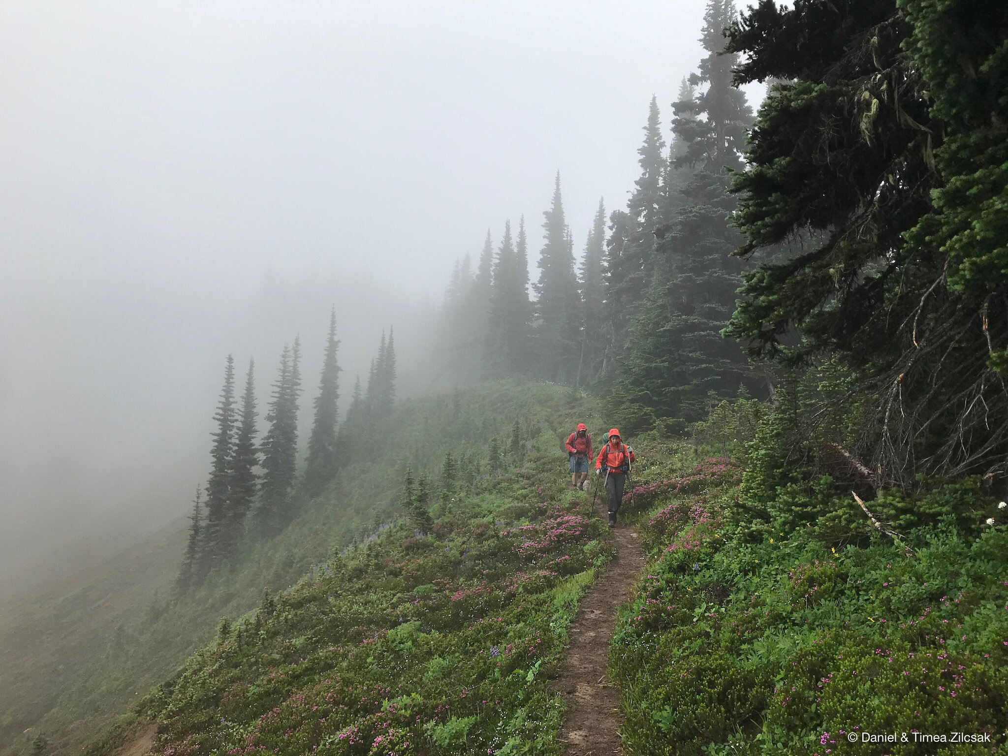
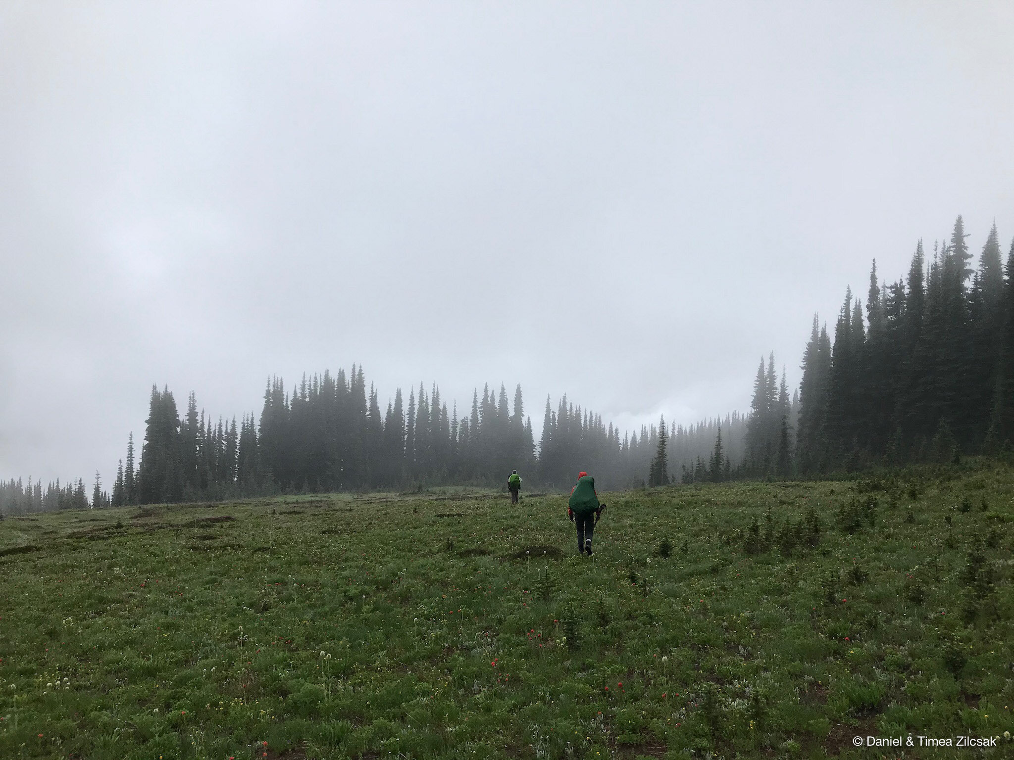
After hiking in the on-and-off rain for a couple of hours, we stopped at Buck Creek Pass to find a camp spot only to realize it was too windy and cold and we were soaking wet. So we decided to head further down. About a mile on the other side the pass, we came upon an off-shoot trail to a campsite that provided us much needed shelter. The rain didn’t stop for the rest of the day and well into the night!

Morning coffee in the tent - Backpacking Glacier Peak Wilderness
Day 7: Buck Creek Pass to trailhead at Trinity
All through the night, the temperature stayed in the high 30s, but by morning the rain had stopped. The sun was not strong enough yet to give us hope that all our clothing and, especially boots, will dry enough for us to be able to safely roam the trails for another day, as we had previously planned. So we all decided to head home.
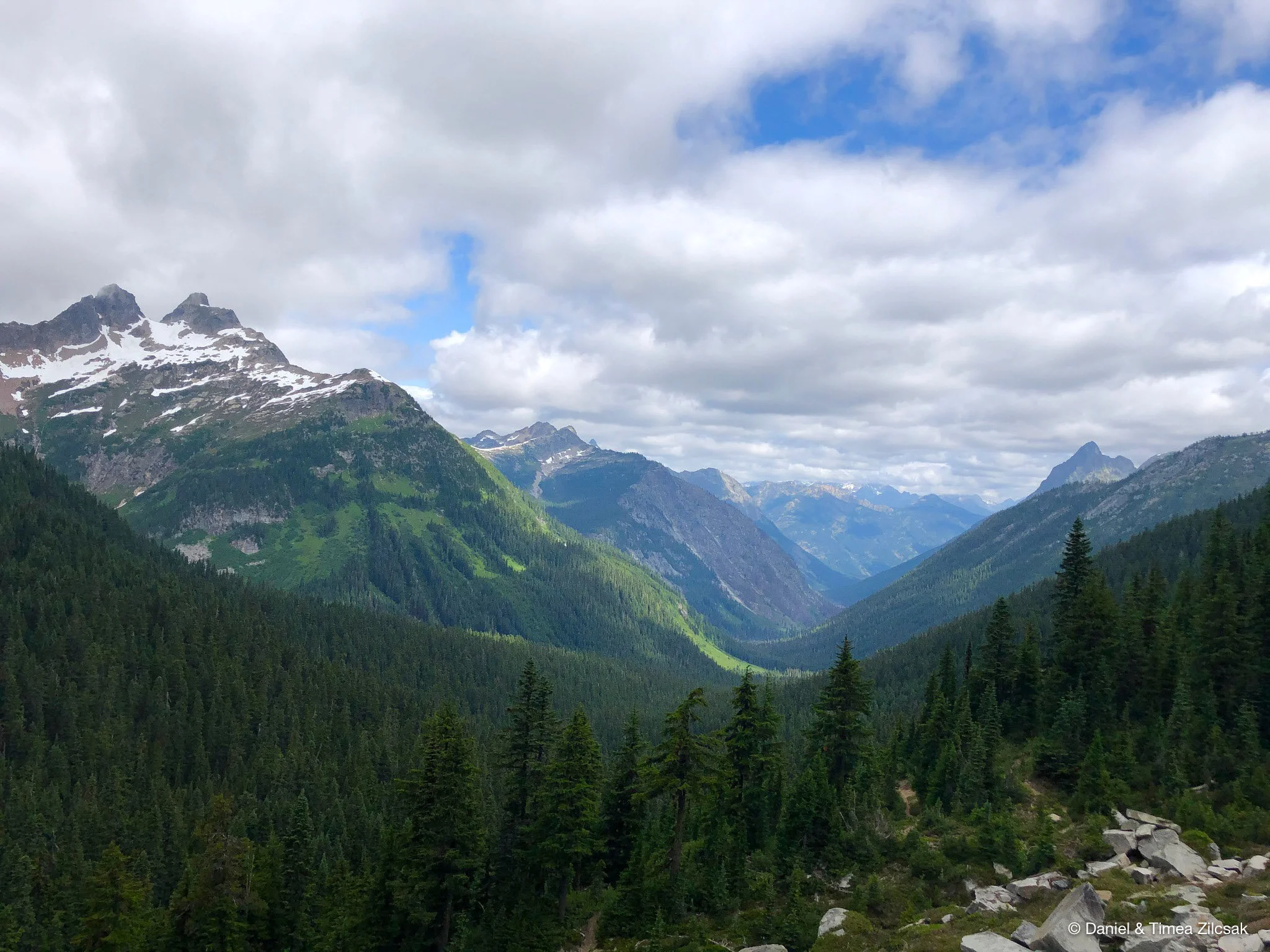
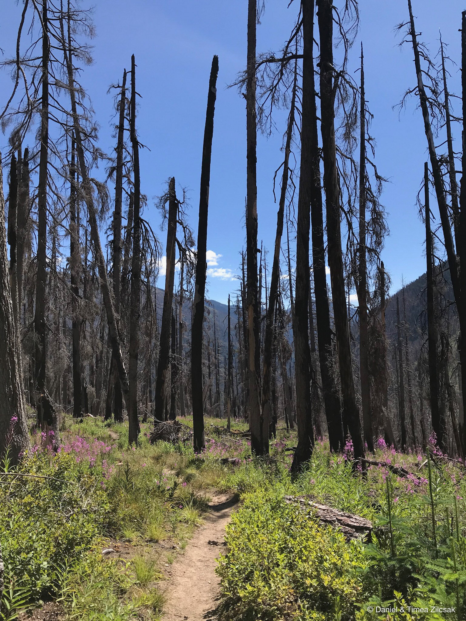
The trail down to the finish line at Trinity was as spectacular as the rest of the trip. It was long but with a pleasant grade and great views all around.
Until Next Time
Stay tuned for our next adventure! We’ll hop on on another one as soon as my socks dry.
Until then, happy trails to all of you!
